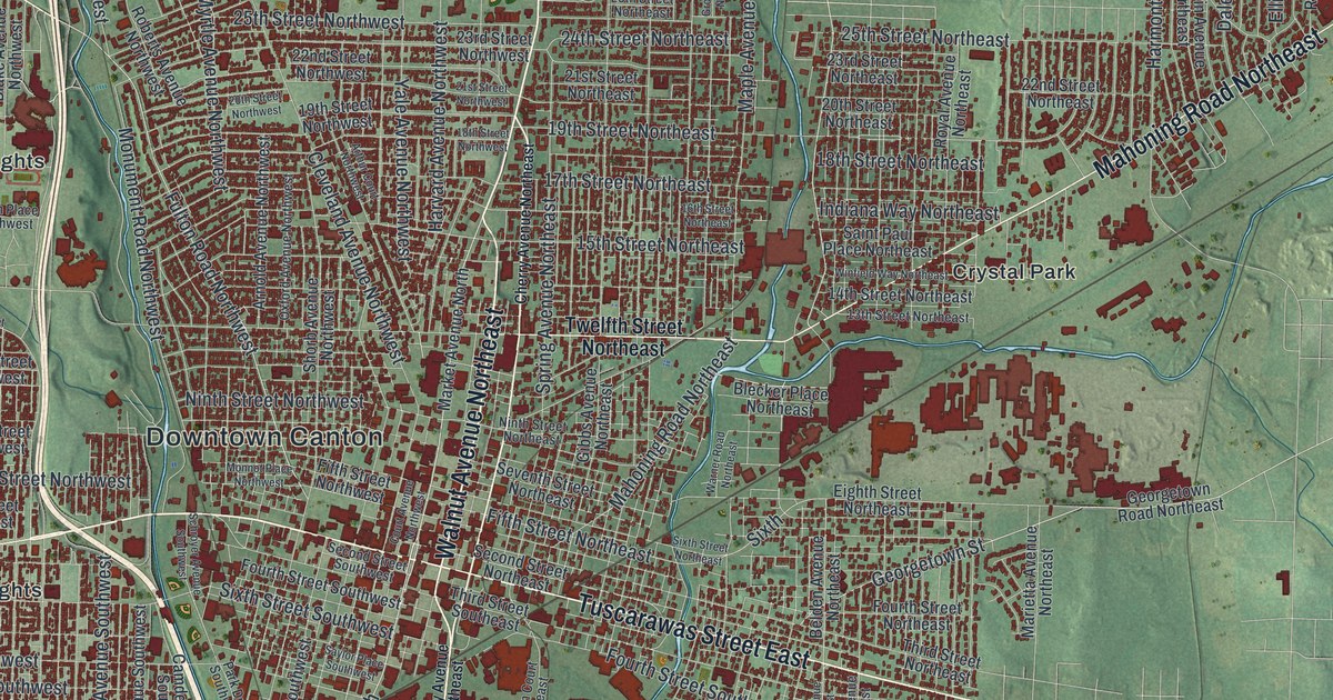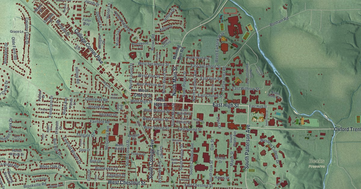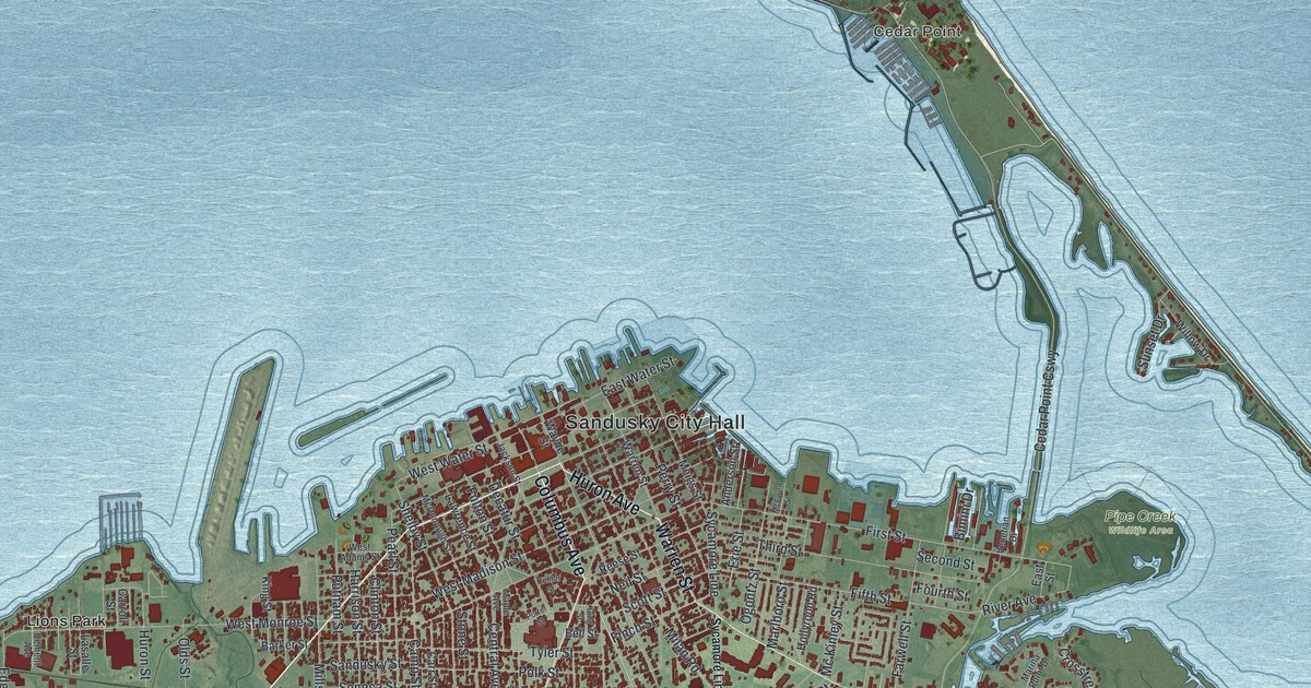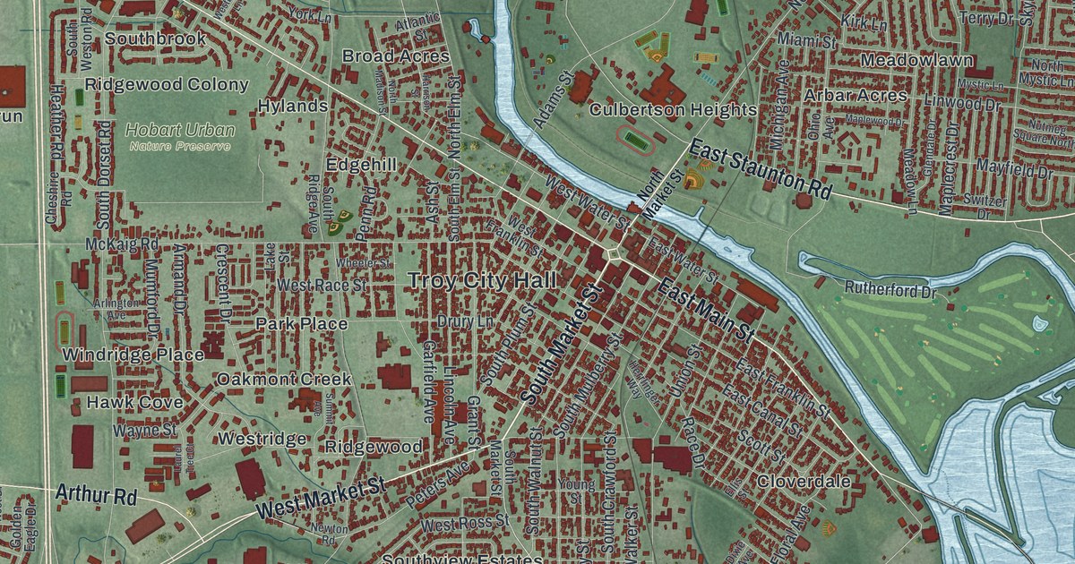
If you grew up in Troy, went to school here or still have family near the river, this map gives you a lot to find. It's a modern aerial view of Troy in Miami County, Ohio, made from modern data and given a vintage look. A blue river winds down from the top of the sheet and bends right past downtown. More than 14,000 buildings are drawn in deep red, from the old downtown grid out to the newer streets on the west side.
Troy City Hall, West Main Street and East Staunton Road
Start at Troy City Hall, printed in the middle of the sheet. East Main Street runs southeast from there, close to the river. North Market Street heads north out of downtown and over the water. On the far bank, East Staunton Road runs east past Culbertson Heights to Staunton, near the right edge. Just north of it, Sherwood Manor, Northbrook and Heritage Hill fill a tight web of curving streets.
Now go back to City Hall and take West Main Street the other way. It runs in a long, straight line to the northwest. You'll pass Brookside and Westbrook, then Westhaven, Kings Chapel and Fox Harbor near the top left. West Market Street leaves town to the southwest, toward Arthur Road and Hawks Nest. The Hobart Urban Nature Preserve sits just west of downtown, above Edgehill. Many roads are labeled, and each red shape is a building, so zoom in on the preview and look for yours.
The Junior Girls Canteen at Troy's train station
During World War II, trains full of soldiers stopped at Troy's Baltimore & Ohio Railroad station. A few neighborhood girls started handing magazines to the men while the trains waited. That grew into the Junior Girls Canteen. From 1943 to 1946, forty of Troy's teenage girls ran it with their mothers and other volunteers. People in Miami County and six more counties sent donations. The girls gave thousands of food baskets and countless drinks to about 600,000 soldiers, right beside the tracks. They served every train that came through, in the dead of night or on the coldest day of winter. An Ohio History Connection marker in Herrlinger Park tells their story. It stands between South Crawford Street and Union Street, both printed just south of City Hall.
Troy has another first. On June 26, 1974, a ten-pack of Wrigley's Juicy Fruit gum was scanned in the checkout line at Marsh Supermarket. It was the first retail scan of a product with a UPC barcode. The store stood at 982 North Market Street, across the river from downtown. One of the first scanners later went to the Smithsonian's National Museum of American History.
For someone who knows North Market Street
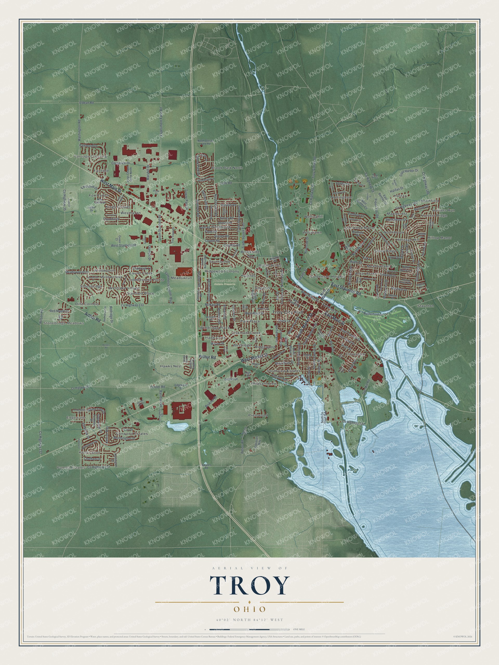
Created by KNOWOL in 2026, this Troy map suits an office, a den or a family room. The land is shaded in soft green from USGS elevation data, and each building is a small red shape. The title panel reads "Aerial View of Troy, Ohio," with the coordinates 40°02' North, 84°12' West and a one-mile scale bar.
It's a thoughtful gift for someone who grew up near Troy City Hall, or anyone who moved away and still thinks about the river. Open the preview, zoom in and find the streets you know. See sizes and frames for the Troy map.