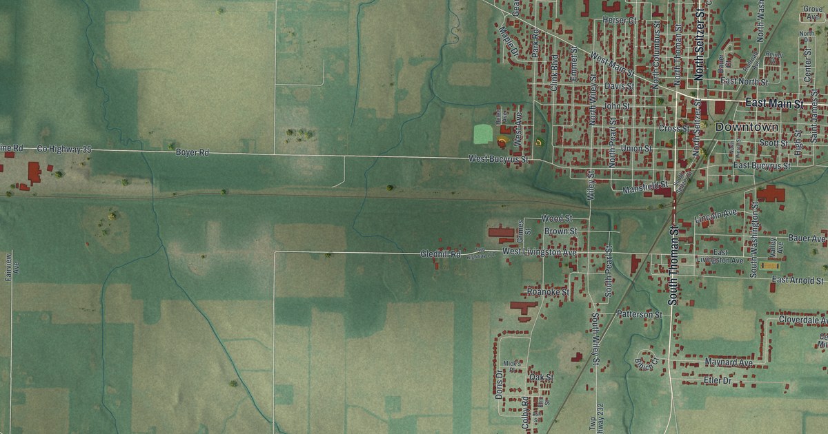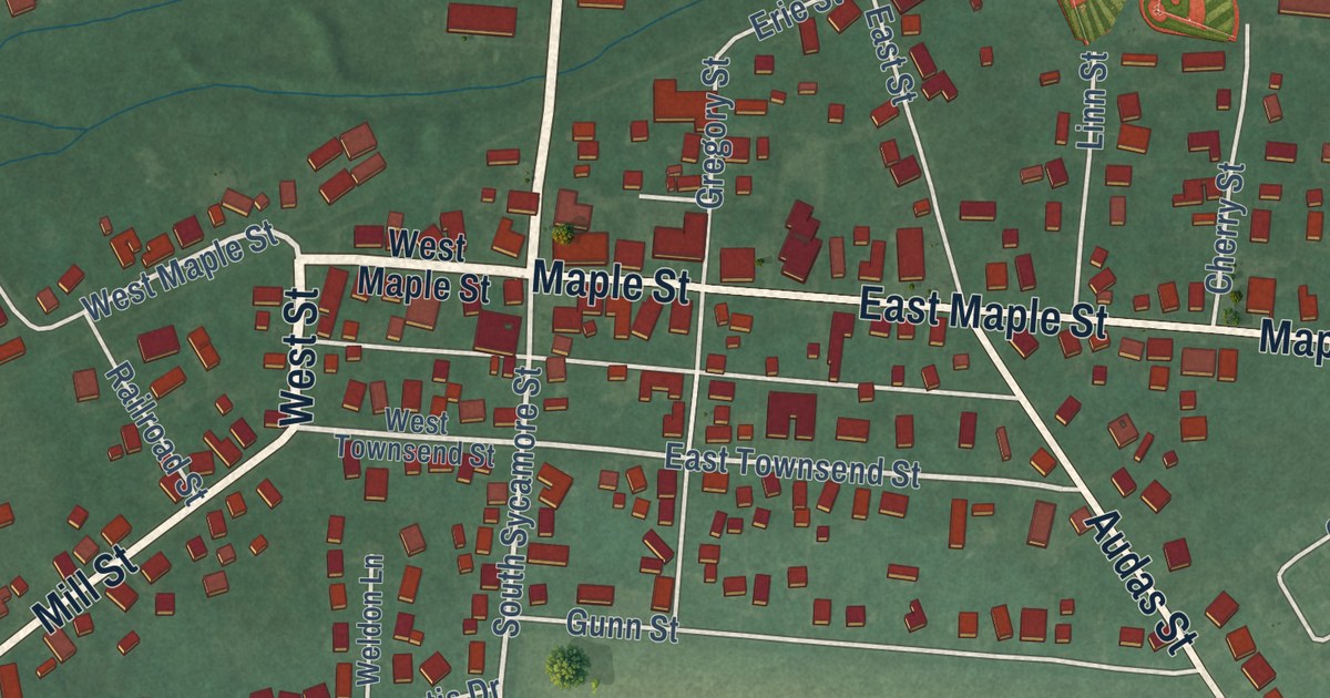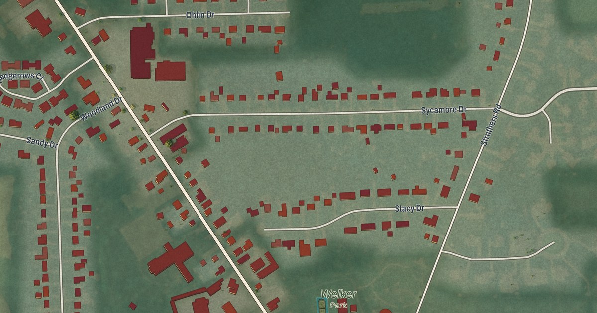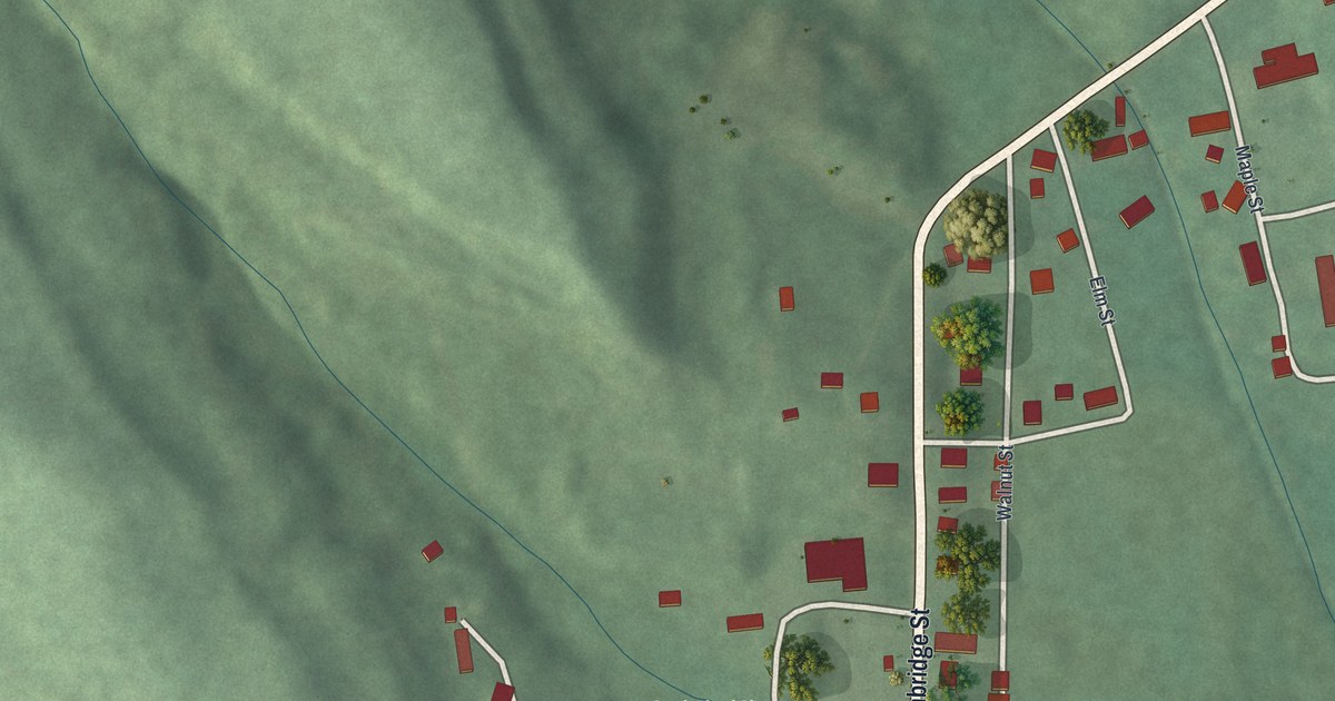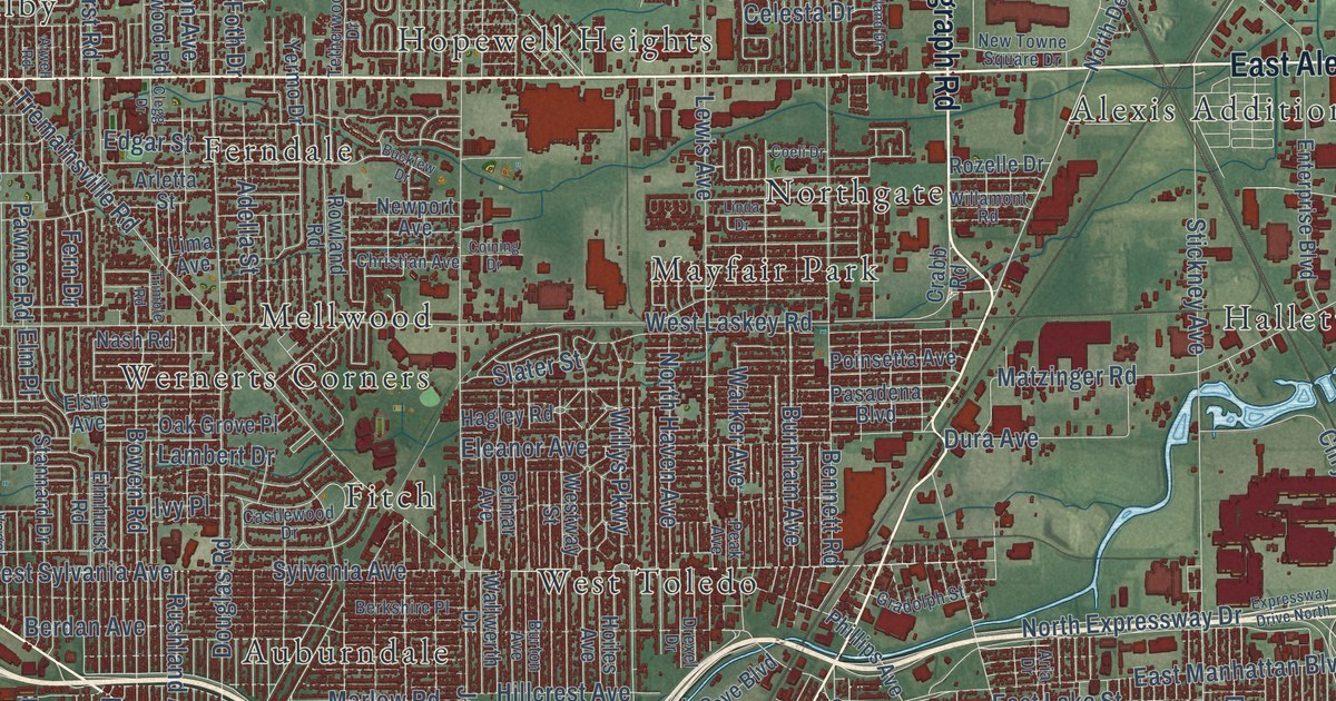
This beautifully detailed map of Toledo, Ohio was created in 2026 using aerial imagery combined with modern topographical, census, street and landmark data. It’s a one-of-a-kind view of Toledo that combines accurate data with a vintage aesthetic. The map shows every building in its true location, many of the roads carry their names, and the shaded topographic relief shows the shape of the land.
Explore an aerial view of Toledo, Ohio
On the map you’ll find Forest Cemetery, Air Line Junction, Alexis Addition, Auburndale, East Toledo, Ferndale, Fitch, Freemans Gardens, Gould, Hallett, and Hopewell Heights, along with Boulevard, and more. If you look closely you can even find your house accurately drawn in its correct location. Zoom in on the preview to look for yours.
Did you know this piece of Toledo, Ohio history?
In 1835, Ohio and the Michigan Territory both claimed the strip of land holding Toledo. Militias marched to the border but never fought. The only casualty was a Michigan deputy sheriff, whom Two Stickney stabbed in the leg with a penknife. Ohio won the land, and Michigan received more of the Upper Peninsula.
Take a closer look at the Toledo map
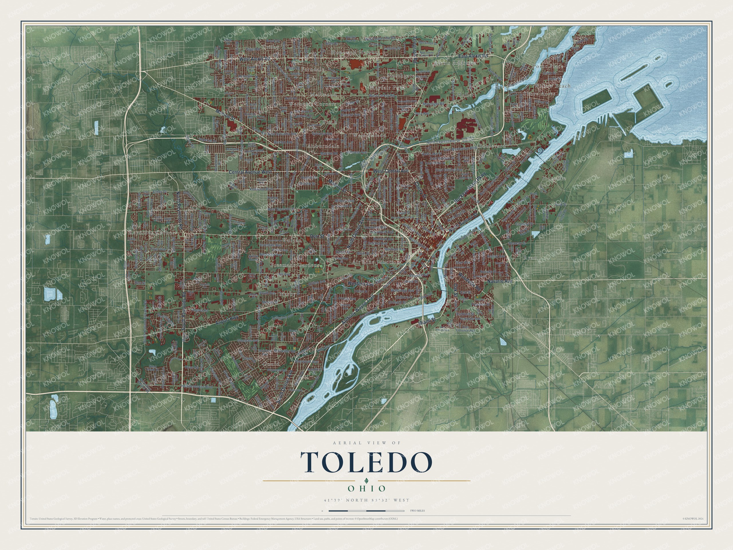
Street and place names on the Toledo, Ohio map
These names are printed on the map of Toledo, Ohio.
Places: Point Place, Hopewell Heights, Freemans Gardens, Ironville, Fitch, Alexis Addition, Reynolds Corners, Gould, Ryan, Trilby, West Toledo, Northgate, Nasby, Boulevard, Shore Acres, Air Line Junction, Auburndale, Mayfair Park, Mellwood, Hallett, Vulcan, Ferndale, Wernerts Corners and Willow Beach.
Streets and roads: Anthony Wayne Trail, Monroe Street, West Alexis Road, West Central Avenue, North Detroit Avenue, South Reynolds Road, Cherry Street, East Alexis Road, Woodville Road, North Summit Street, Western Avenue, Telegraph Road.
More street names, A to Z
102nd Street, 119th Street, 124th Street, 140th Street, 146th Street, 282nd Street, 285th Street, 288th Street, 290th Street, 305th Street, Acorn Drive, Acton Drive, Adams Street, Adella Street, Airedale Avenue, Airline Avenue, Airport Highway, Albar Drive, Albion Street, Alisdale Drive, Alvin Street, American Road, Ancil Road, Angel Avenue, Angola Road, Apple Avenue, Arch Street, Arco Drive, Aria Drive, Ariel Avenue, Arklow Drive, Arletta Street, Arlington Avenue, Ascot Avenue, Ash Street, Atlantic Avenue, Atwell Road, Atwood Road, Auburn Avenue, Avondale Avenue, Barclay Drive, Barrington Drive, Bellevue Road, Belmar Avenue, Belmont Avenue, Bennett Road, Benore Road, Bensch Drive, Berdan Avenue, Berkshire Place, Bernath Parkway, Beverly Drive, Birdie Drive, Bishop Street, Blum Street, Bowen Road, Brent Drive, Brest Drive, Brim Drive, Broadway Street, Brock Drive, Brooke Park Drive, Brookford Drive, Brown Avenue, Buckeye Basin Parkway, Buckeye Street, Bucklew Drive, Burbank Drive, Burger Street, Burnham Avenue, Burton Avenue, Byrne Hill Court, Caledonia Street, Calla Lane, Calyx Lane, Canal Avenue, Canton Street, Carlingfort Drive, Carriage Drive, Carver Boulevard, Cass Road, Castle Rock Drive, Castlewood Drive, Cedar Ridge Lane, Celesta Drive, Central Avenue West, Century, Champion Street, Chase Street, Cheltenham Road, Cherrylawn Drive, Cheynne Boulevard, Christian Avenue, Christie Boulevard, Christie Street, Chrysler Drive, Clay Avenue, Clegg Drive, Clifton Boulevard, Clifton Road, Clinton Street, Clover Lane, Coeli Drive, Coining Drive, Colburn Street, Colima Drive, College Drive, Collingwood Boulevard, Collins Park Avenue, Colony Drive, Colton Street, Consaul Street, Copland Boulevard, Corey Road, Corry Avenue, Counter Street, Crabb Road, Curtis Street, Dahlia Drive, Dana Street, Dearborn Avenue, Devon Hill Road, Division Street, Dixon Avenue, Dorr Street, Douglas Road, Dover Place, Doyle Street, Drexel Drive, Drummond Road, Dulton Drive, Dura Avenue, Earl Street, East Broadway Street, East Central Avenue, East Florence Avenue, Eastgate Road, East Hudson Street, East Lake Street, East Manhattan Boulevard, East Weber Street, Eaton Drive, Edgar Street, Edgewater Drive, Edwin Drive, Eileen Road, Eleanor Avenue, Elmer Drive, Elmhurst Road, Elm Place, Elm Street, Elsie Avenue, Emerald Avenue, Emmick Drive, Enterprise Boulevard, Escott Avenue, Estateway Road, Eton Road, Everett Street, Everwood Road, Evesham Avenue, Ewing Street, Expressway Drive North, Fallen Leaf Drive, Fassett Street, Fern Drive, Fernwood Avenue, Field Avenue, First Street, Fleet Road, Floyd Street, Forest Avenue, Forest Grove Drive, Foth Drive, Franklin Avenue, Freedom Street, Freeman Street, Front Street, Fryer Avenue, Fulton Street, Garden Ridge Drive, Gay Street, Genesee Street, George Hardy Drive, Giant Street, Gilhouse Road, Girard Street, Glanzman Road, Glenbrier Road, Glendale Avenue, Glen Ellyn Drive, Glen Valley Drive, Glenwood Avenue, Gradolph Street, Greene Street, Greenridge Drive, Green Valley Drive, Greenwood Avenue, Grelyn Drive, Gribbin Lane, Hagley Road, Hagman Road, Hamilton Street, Harlan Road, Harvard Boulevard, Harvest Lane, Hayes Road, Heatherdowns Boulevard, Heffner Street, Heidelberg Road, Herst Road, Hill Avenue, Hillcrest Avenue, Hilton Drive, Hinde Road, Hirzel Street, Hoag Street, Hoffman Relocated Road, Hoffman Road, Hoiles Avenue, Holmes Street, Hoops Drive, Hughes Drive, Hurd Street, Idaho Street, Imperial Drive, Indiana Avenue, Indian Road, Inverdale Avenue, Inverness Avenue, Ira Road, Ivanhill Road, Ivy Place, Jackman Road, Jason Street, Jeep Parkway, Jefferson Avenue, Jermain Drive, Jervis Street, Joffre Avenue, Juliet Drive, Kathy Lane, Kelsey Avenue, Kensington Road, Kent Street, Kenwood Boulevard, Ketukkee Trail, Key Street, Koch Drive, Lagrange Street, Lambert Drive, Lancaster Avenue, Larc Lane, Lawrence Avenue, Lawton Avenue, Leith Drive, Lewis Avenue, Lima Avenue, Linda Drive, Locust Street, Lynn Park Drive, Main Street, Malden Avenue, Maplewood Avenue, Marine Road, Marlaine Drive, Marlow Road, Mason Street, Matzinger Road, McGregor Lane, McO Boulevard, McTigue Drive, Melrose Avenue, Mel Simon Drive, Melvin Drive, Mercer Street, Merle Street, Merry Lane, Miami Street, Middlesex Drive, Milburn Avenue, Moore Street, Mott Avenue, Muirfield Avenue, Mulberry Street, Myers Street, Naomi Drive, Nash Road, Navarre Avenue, Nebraska Avenue, Nela Parkway, Nelson Avenue, Nevada Street, Newport Avenue, New Towne Square Drive, New York Avenue, Noble Street, North 14th Street, North Byrne Road, North Cove Boulevard, North Douglas Road, North Erie Street, North Expressway Drive, North Haven Avenue, North Haven Road, North Hawley Street, North Holland Sylvania Avenue, North Michigan Street, North Ontario Street, North Reynolds Road, North Wheeling Street, Norwood Avenue, Oakdale Avenue, Oak Grove Place, Oak Ridge Drive, Oak Street, Oakwood Avenue, Orange Street, Orchard Street, Orono Drive, Otjen Road, Ottawa Drive, Ottawa River Road, Ottawa Street, Otter Creek Road, Paisley Road, Palm Drive, Parkside Boulevard, Pasadena Boulevard, Pawnee Road, Peak Avenue, Pelham Road, Penn Road, Perrysburg Holland Road, Phillips Avenue, Pinelawn Drive, Pine Valley Lane, Planet Avenue, Plum Leaf Lane, Poinsetta Avenue, Pool Street, Pratt Street, Prestler Road, Prospect Avenue, Prouty Avenue, Quast Lane, Queenswood Boulevard, Quinton Avenue, Rambo Lane, Randolph Street, Reed Street, Reineck Drive, Reo Street, Research Drive, Richards Road, Richford Street, River Road, Riverside Drive, Rochelle Road, Rohr Boulevard, Rolland Drive, Rose Garden Drive, Rowland Road, Royer Road, Rozelle Drive, Rushland Avenue, Ryan Road, Saint John Avenue, Saint Lawrence Drive, Schneider Road, Schwartz Road, Scottwood Avenue, Seaman Street, Secor Road, Shasta Drive, Shenandoah Road, Sherwood Avenue, Shoreland Avenue, Sibley Road, Slater Street, Smead Avenue, Snowden Drive, South Avenue, South Byrne Road, South Detroit Avenue, South Erie Street, South Holland Sylvania Road, South Park Ci, South Westwood Avenue, Southwyck Boulevard, Stadium Drive, Stannard Drive, Starr Avenue, Stebbins Street, Stengel Avenue, Stickney Avenue, Suder Avenue, Summit Street, Sumner Street, Swan Creek Drive, Swan Creek Lane, Sylvania Avenue, Sylvan Ridge Drive, Tall Oaks Drive, Talmadge Road, Teal Drive, Terrace Drive, Tetherwood Drive, Thayer Street, Torrington Drive, Tracy Street, Tremainsville Road, Trimble Road, Upton Avenue, Utah Street, Vail Avenue, Vance Street, Vaness Drive, Veldt Street, Ventura Drive, Victory Avenue, Villa Drive, Vinton Street, Violet Road, Vogel Drive, Walbridge Avenue, Walker Avenue, Wallwerth Drive, Warren Street, Warsaw Street, Washington Street, Water Street, Waverly Avenue, Wayne Street, Weiler Avenue, Wenz Road, West Bancroft Street, West Campus Loop, West Campus Road, Westchester Road, West Florence Avenue, West Laskey Road, Westol Drive, West State Line Road, West Sylvania Avenue, Westway Street, West Woodruff Avenue, Whitechapel Drive, White Street, Wildwood Road, Willamont Road, Willard Street, Williams Street, Willow Lane Drive, Willow Run Drive, Willys Parkway, Woodland Avenue, Woodley Road, Woods Avenue, Woodsdale Avenue, Wylie Avenue, Yermo Drive, York Street.
See the Toledo, Ohio map on a wall
The Toledo map as an 18 x 24 inch print in a black frame.

This beautifully detailed map of Toledo makes an attractive addition to your office, library, or den, and it can even be used to teach children the geography and history of the area. It also makes a great gift for anyone who grew up in Toledo or moved away. When you’re done exploring, click here to get your copy of the Toledo map.