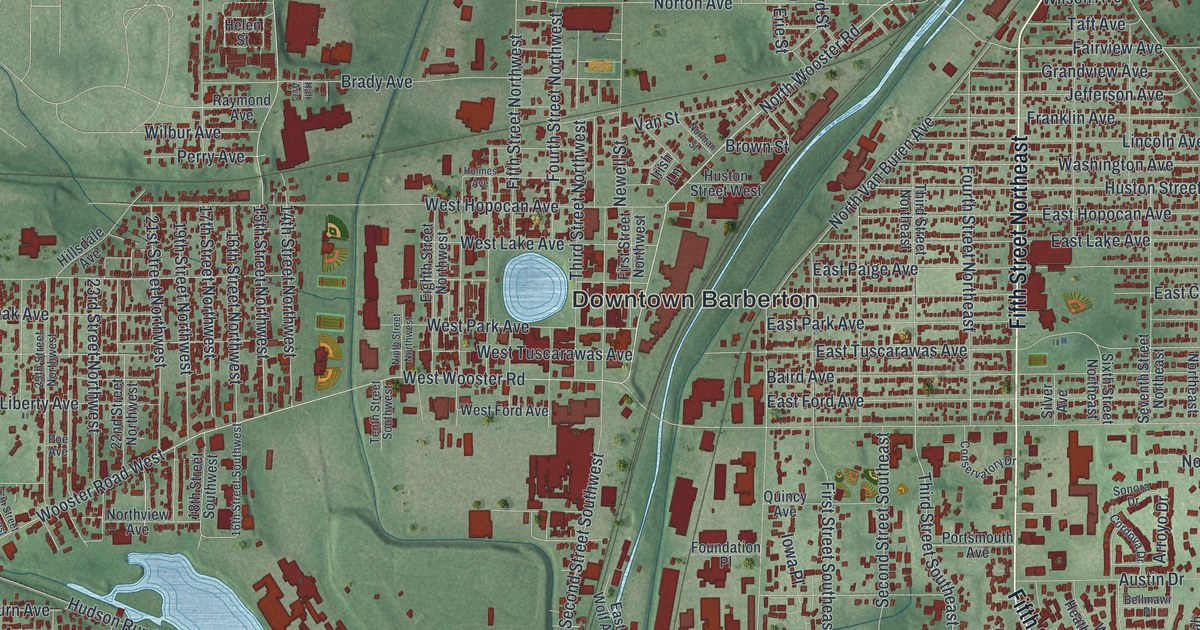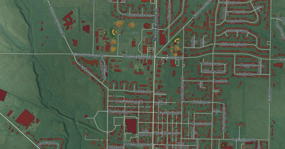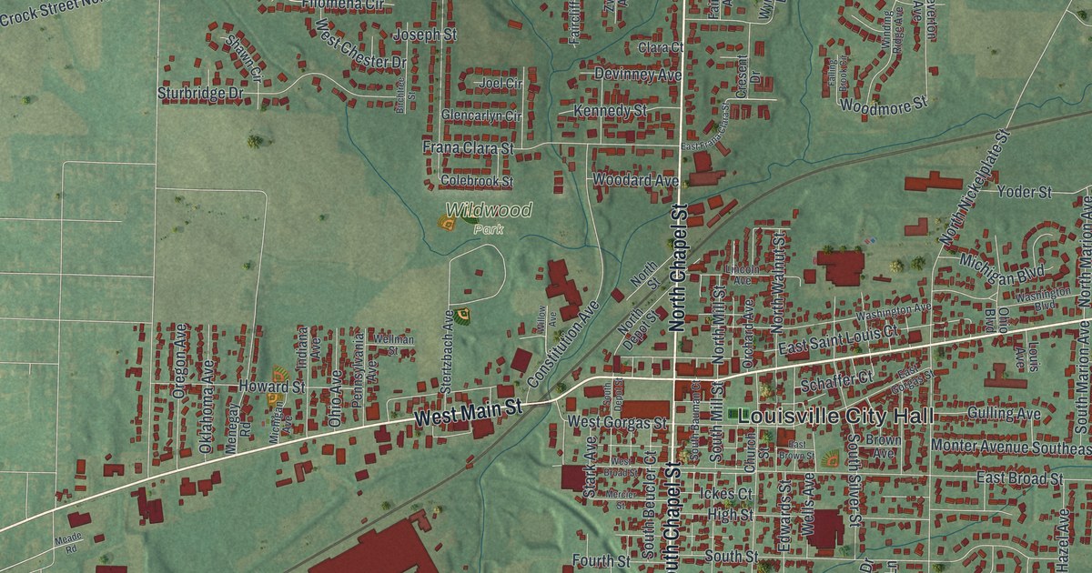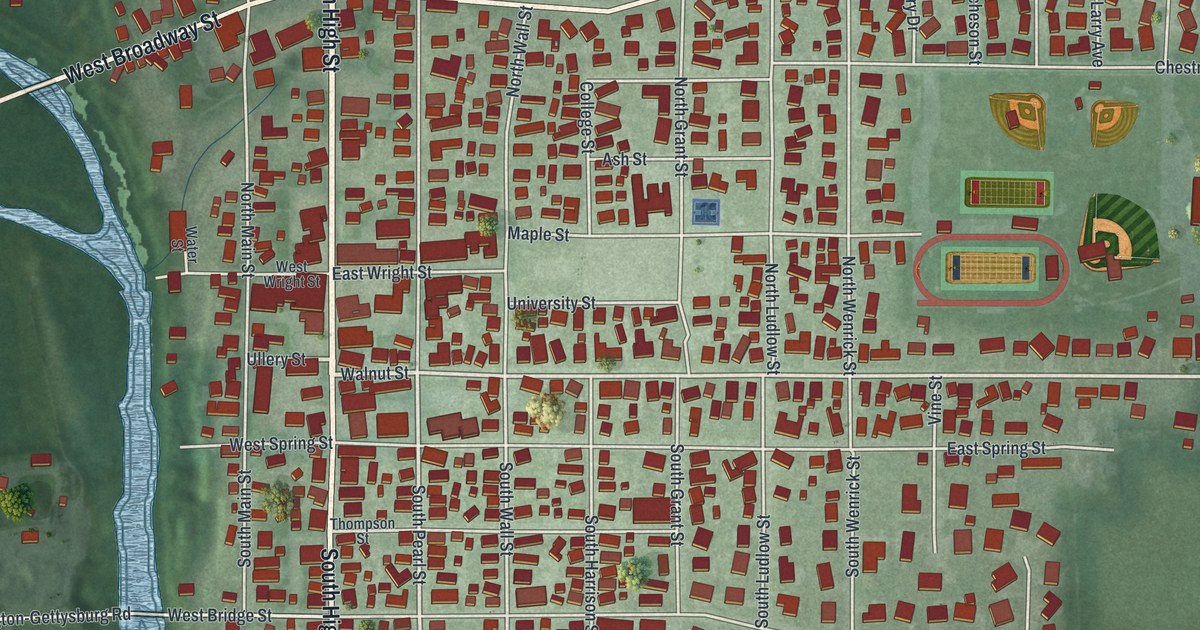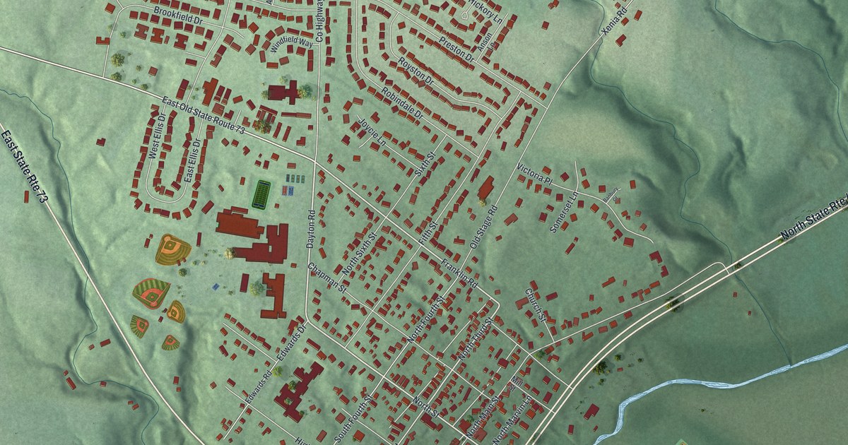
If you grew up in Waynesville, or your family still lives near Main Street, this map puts your town on the wall. It's a modern aerial view of Waynesville in Warren County, Ohio, drawn from modern data and given a vintage look. You can see the old grid of streets around Main Street and the newer homes spread out to the north. A winding blue river crosses the lower right, and Bowman Park sits on the low ground near the water.
Main Street, Chapman Street and Bowman Park
On this map you'll find North Main Street, South Main Street, Miami Street, High Street, Chapman Street, Church Street, Mill Street, North Third Street, Franklin Road, Dayton Road, Corwin Avenue, Old Stage Road, Lytle Road, Bowman Park, and more. Each red shape is a building, so zoom in on the preview and look for yours.
The John Evans House on North Main Street
Waynesville is an old town. The History of Warren County, printed in 1882, says Samuel Heighway planned the town. It says he built what seems to be its first cabin on March 9, 1797. About 40 years later, David and Rachel Burnet Evans built a house on North Main Street. They built it in 1836, in the Federal style. Their son, John, lived there as a young man.
John Evans became a doctor, and then much more. The Remarkable Ohio marker says he was one of the founders of Northwestern University and its first president. President Abraham Lincoln made him the first governor of the Colorado Territory. He's credited with building up Colorado's railroads. His push for colleges there led to Colorado Seminary, later known as Denver University. Evanston, Illinois, and Mount Evans near Denver were named for him. The marker is at the house, 129 North Main Street.
Two more old buildings here are on the National Register of Historic Places. The Waynesville Engine House and Lockup is at 260 Chapman Street. The John Satterthwaite House is at 498 North Third Street. You can find both streets printed on this map, with small red buildings lining each one.
Keep Waynesville and North Main Street Close
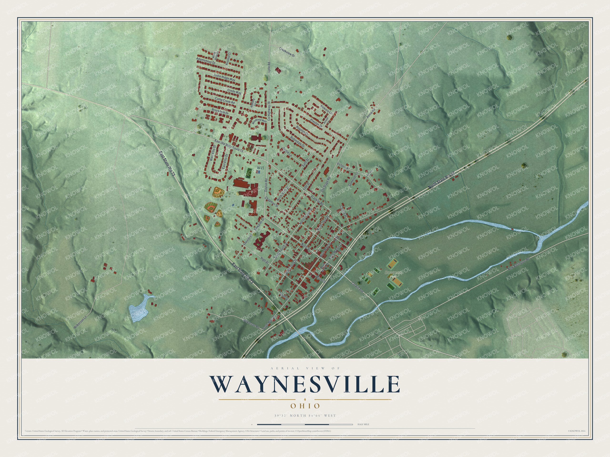
Created by KNOWOL in 2026, the print shows Waynesville from above in soft greens, with red buildings, pale roads and a blue river winding across the lower right. The title panel reads Aerial View of Waynesville, Ohio, with 39°32' North 84°05' West printed below.
It suits a living room, a front hall or a home office. It's a good gift for someone who grew up near North Main Street or Bowman Park, or who moved away from Warren County years ago. Open the preview and find your street. See sizes and frames for the Waynesville map.