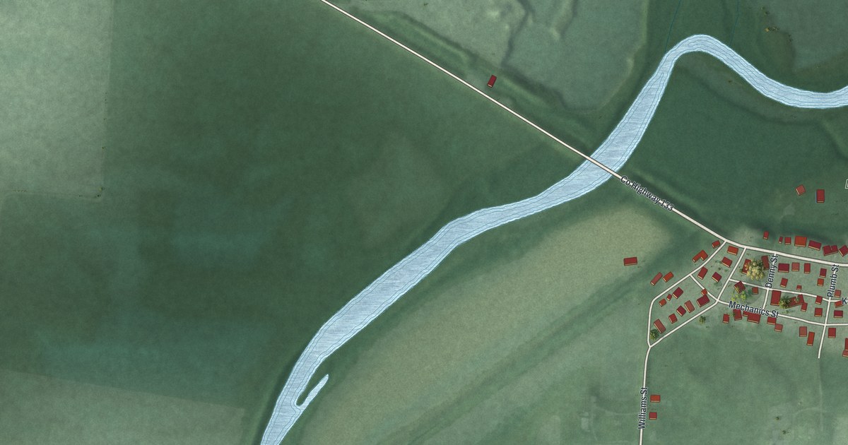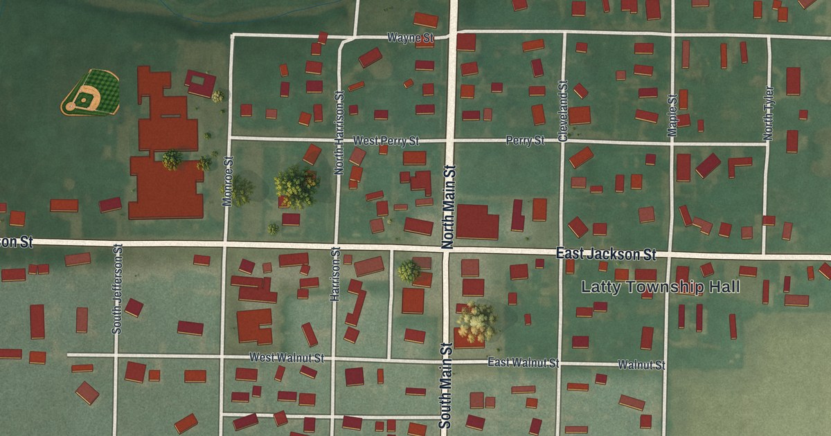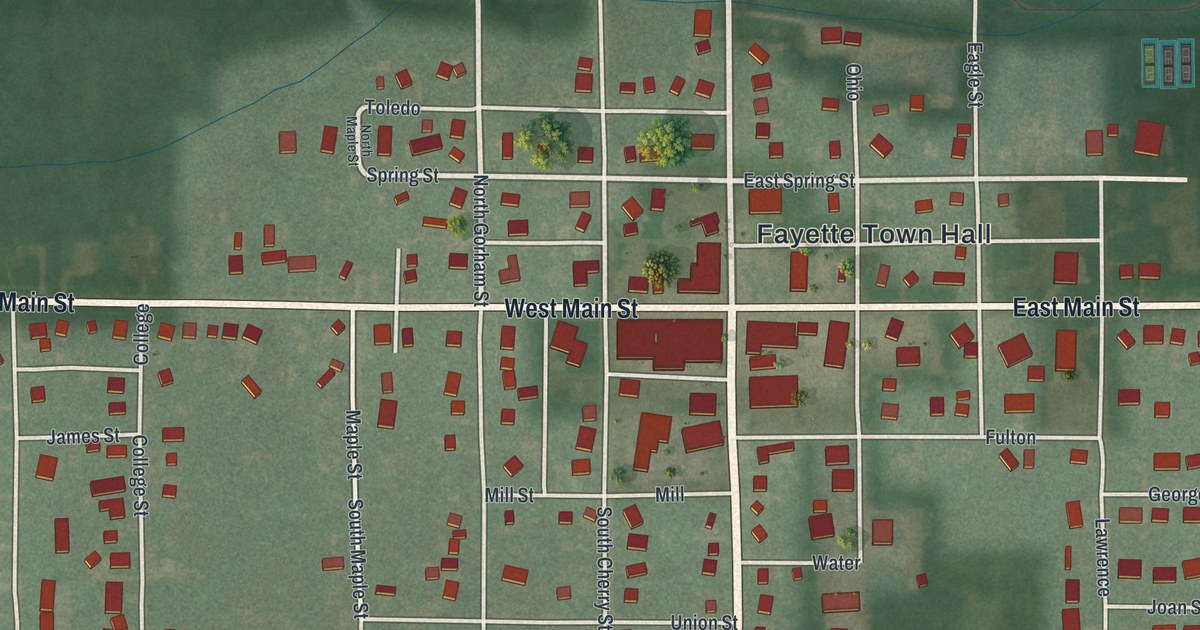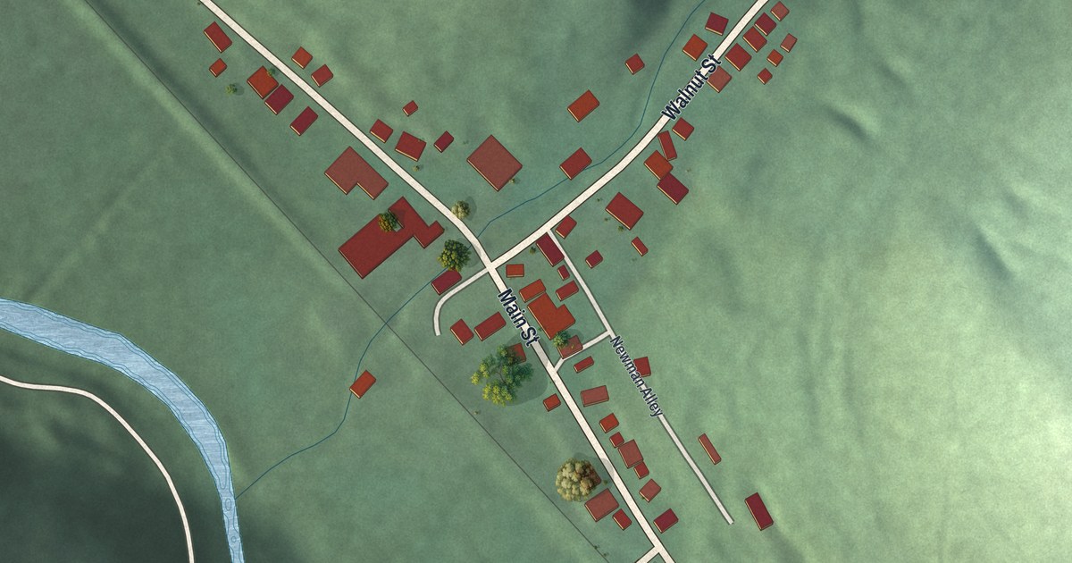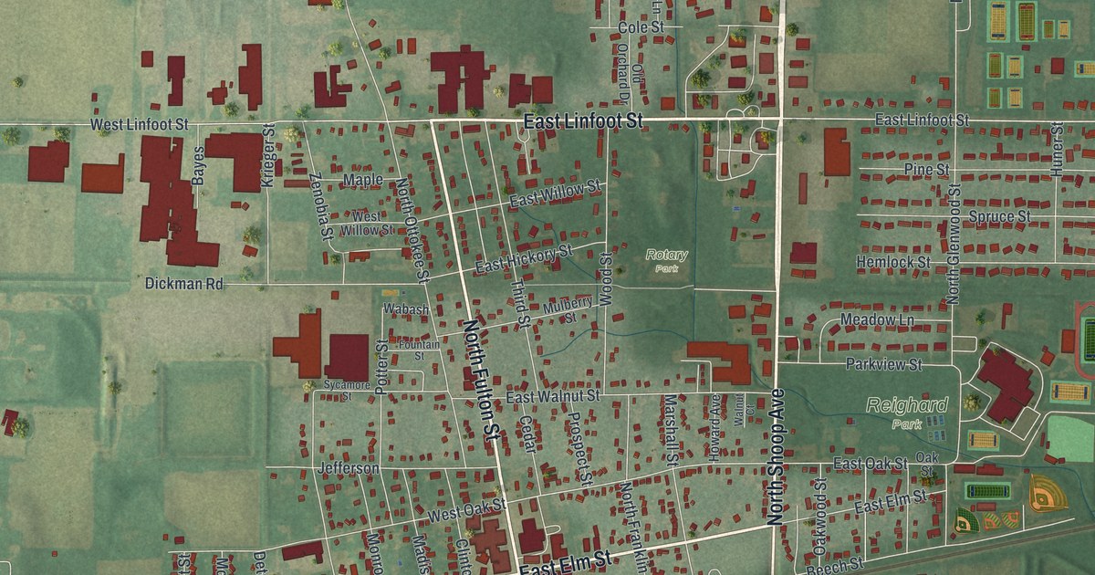
If you grew up in Wauseon, here's a way to keep your hometown close. This modern aerial view of Wauseon in Fulton County, Ohio, uses modern data with a vintage feel. Red buildings fill the town's blocks, with green parks and open fields around them.
Wauseon, the county seat that replaced Ottokee
On this map you'll find North Fulton Street, South Fulton Street, North Shoop Avenue, South Shoop Avenue, East Elm Street, West Elm Street, East Chestnut Street, Depot Street, Wauseon Town Hall, Biddle Park, Reighard Park, Homecoming Park, and more. Each red shape is a building, so zoom in on the preview and look for yours.
Wauseon's role as the county seat began with a move. A standard history of Fulton County records Ottokee as the first county seat. It then notes the change to Wauseon. The Fulton County Courthouse stands at South Fulton and Chestnut streets. You can find South Fulton Street and East Chestnut Street on the print. North Ottokee Street is on the print too, a nod to the first county seat.
Keep Wauseon and Homecoming Park close
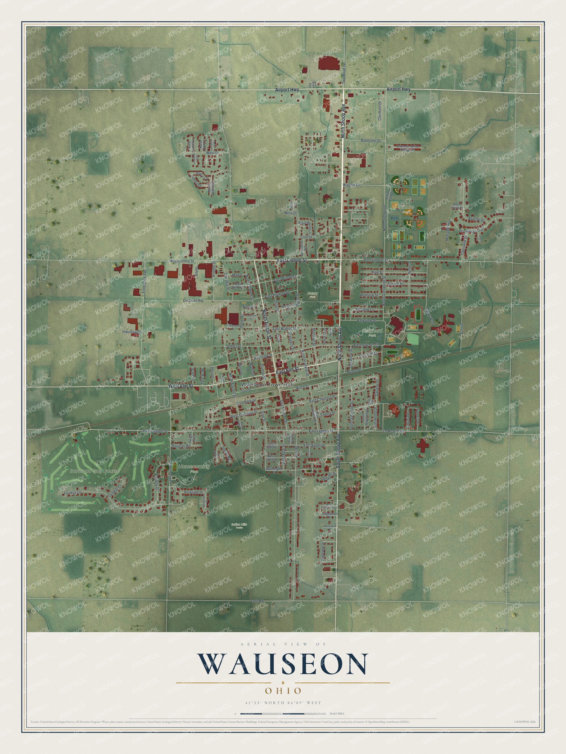
Created by KNOWOL in 2026, the print pairs soft green land with red buildings and fine street lines. A cream border surrounds the view. The title panel reads AERIAL VIEW OF, WAUSEON, OHIO, and 41°33' NORTH 84°09' WEST.
It's a warm fit for a living room, office, or entryway. Give it to someone who grew up near Homecoming Park or has family in Wauseon. Open the preview to find the streets and places you'd like to keep close. See sizes and frames for the Wauseon map.