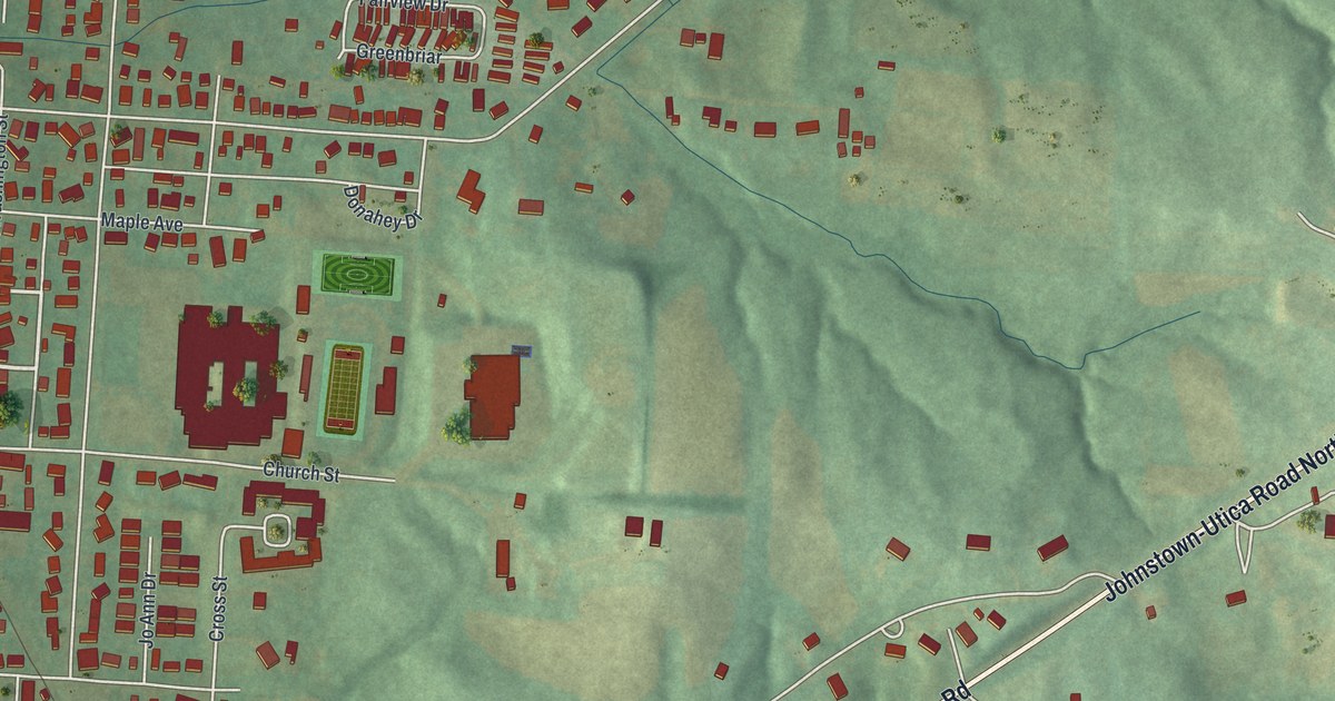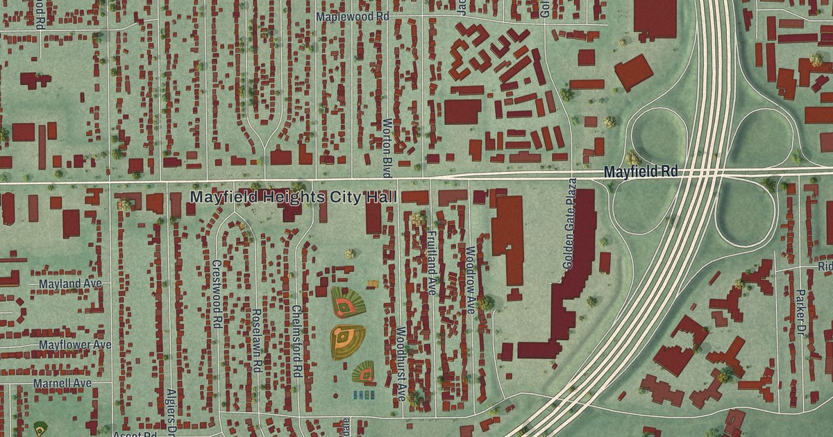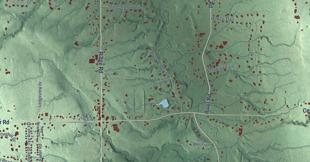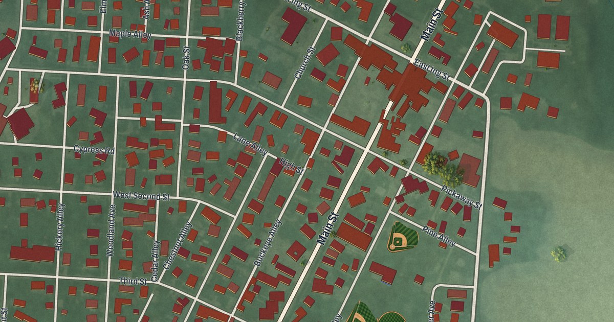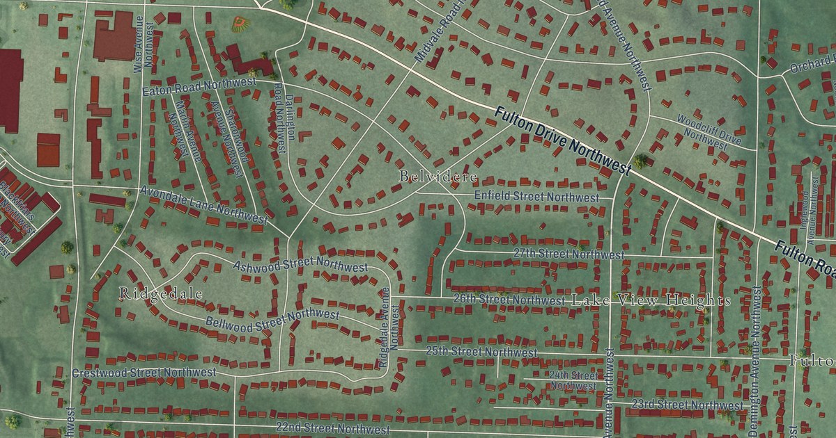
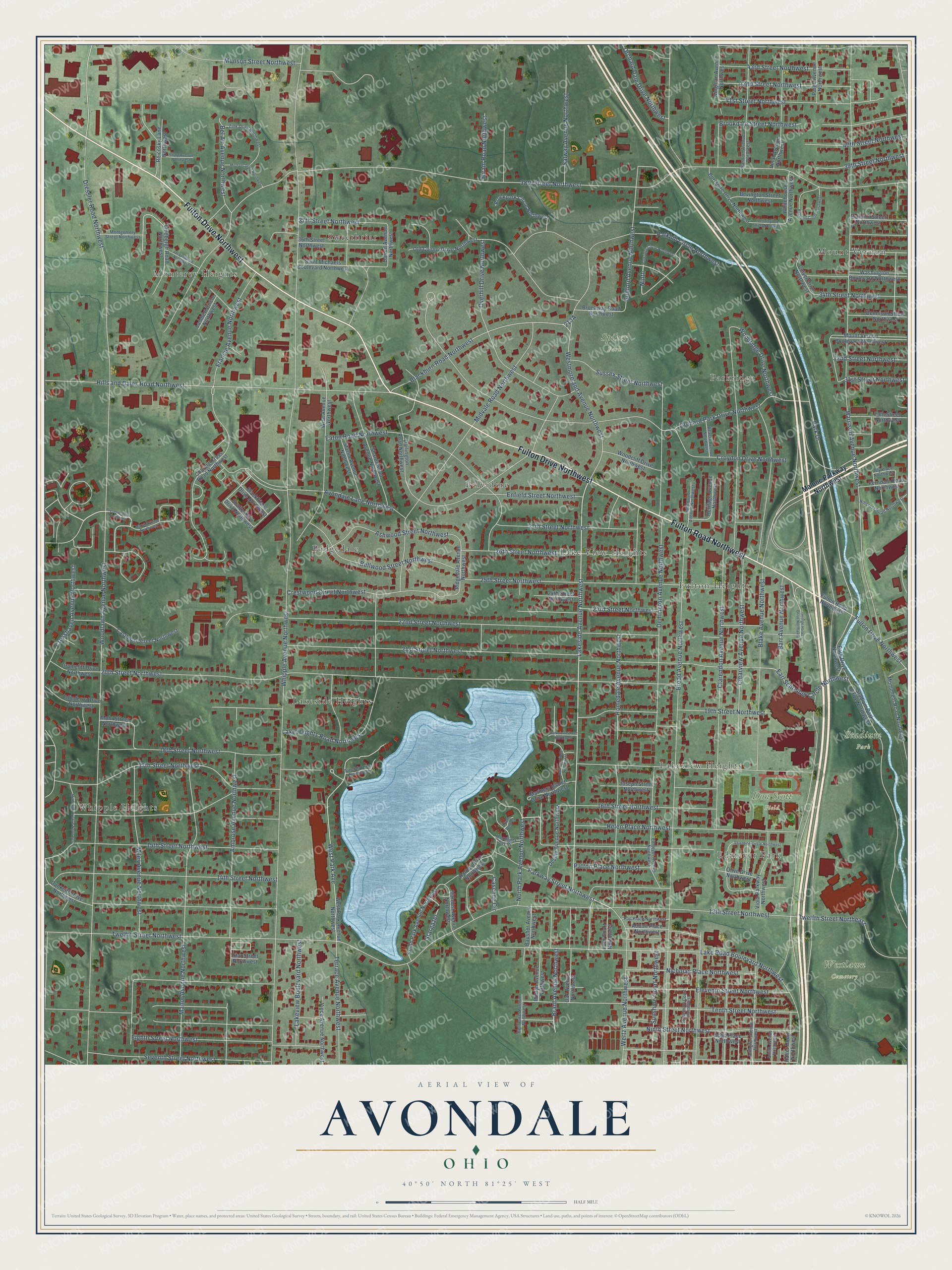
This beautifully detailed map of Avondale, Ohio was created in 2026 using aerial imagery combined with modern topographical, census, street and landmark data. It’s a one-of-a-kind view of Avondale that combines accurate data with a vintage aesthetic. The map shows every building in its true location, many of the roads carry their names, and the shaded topographic relief shows the shape of the land.
Explore an aerial view of Avondale, Ohio
On the map you’ll find Don Scott Field, Spiker Park, Stadium Park, Westlawn Cemetery, Lakeside Heights, Mount Vernon, Belvidere, Whipple Heights, Monterey Heights, Ridgedale, Sweetbriar, Fulton Heights, and more. If you look closely you can even find your house accurately drawn in its correct location. Zoom in on the preview to look for yours.
Did You Know?
From Internet Archive: "For girls, located on Lenox Place, Avondale, Cincinnati, Ohio, was founded in 1856, as The Mount Auburn Young Ladies Institute."
Avondale is a community in Stark County.
Take a closer look at the Avondale map
Names on this map
These names are printed on this map.
Places: Don Scott Field, Spiker Park, Stadium Park, Westlawn Cemetery, Lakeside Heights, Mount Vernon, Belvidere, Whipple Heights, Monterey Heights, Ridgedale, Sweetbriar, Fulton Heights, Edmeyer Park, Parkridge, Lake View Heights and Lakeview Heights.
Streets and roads: Fulton Drive Northwest, Fulton Road Northwest, Lakeside Avenue Northwest, Park Drive, Bel Air Avenue Northwest, Blackburn Road Northwest, Harrison Avenue Northwest, Whipple Avenue Northwest, Twelfth Street Northwest, 38th Street Northwest, Woodlawn Avenue Northwest, 20th Street Northwest.
More street names, A to Z
13th Street Northwest, 14th Street Northwest, 15th Street Northwest, 16th Street Northwest, 17th Street Northwest, 18th Street Northwest, 19th Street Northwest, 21st Street Northwest, 22nd Street Northwest, 23rd Street Northwest, 24th Street Northwest, 25th Street Northwest, 26th Street Northwest, 27th Street Northwest, 29th Street Northwest, 31st Street Northwest, 32nd Street Northwest, 34th Street Northwest, 36th Street Northwest, 37th Street Northwest, 39th Street Northwest, 40th Street Northwest, 41st Street Northwest, 42nd Street Northwest, 43rd Street Northwest, Abbott Place Northwest, Acacia Avenue Northwest, Ambrose Avenue Northwest, Arlington Avenue Northwest, Ashwood Street Northwest, Avondale Lane Northwest, Barr Avenue Northwest, Bausher Avenue Northwest, Bellflower Avenue Northwest, Bellwood Street Northwest, Bevington Street Northwest, Blackfriars Drive Northwest, Blake Avenue Northwest, Bly Place Northwest, Brant Avenue Northwest, Broad Avenue Northwest, Brookdale Street Northwest, Brookpark Circle Northwest, Brookway Road Northwest, Burrshire Drive Northwest, Cascade Circle, Castlebar Street Northwest, Charing Cross Road Northwest, Clarendon Avenue Northwest, Clearview Avenue Northwest, Crestwood Street Northwest, Crosshaven Avenue Northwest, Croydon Drive Northwest, Culver Drive Northwest, Darien Avenue Northwest, Darlington Road Northwest, Demington Avenue Northwest, Dennison Street Northwest, Deville Avenue Northwest, Dressler Road Northwest, Drumcliff Drive Northwest, Dunkeith Drive Northwest, Earl Schreiber Circle Northwest, Eaton Road Northwest, Edgehill Circle Northwest, Edinderry Drive Northwest, Edmeyer Avenue Northwest, Eighth Street Northwest, Eleventh Street Northwest, Enfield Street Northwest, Ferndale Road Northwest, Ford Court Northwest, Francie Avenue Northwest, Franklin Street Northwest, George Halas Drive Northwest, Guilford Avenue Northwest, Halter Court Northwest, Harbor Drive Northwest, Harbour Circle Northwest, Helen Place Northwest, Heritage Avenue Northwest, Hillcrest Road Northwest, Hills and Dales Road Northwest, Hiram Road Northwest, Homedale Avenue Northwest, Inglewood Avenue Northwest, Jacque Drive Northwest, Joseph Street Northwest, Kingman Avenue Northwest, Lake Heights Road Northwest, Lake Road Boulevard Northwest, Lakeview Boulevard Northwest, Lambert Circle Northwest, Lindbergh Road Northwest, Malone Parkway Northwest, Manor Avenue Northwest, Mariners Island Drive Northwest, Marlin Avenue Northwest, Marsh Avenue Northwest, Menlough Avenue Northwest, Michael Drive Northwest, Midvale Road Northwest, Miles Avenue Northwest, Mohr Street Northwest, Montgomery Street Northwest, Monument Road Northwest, Moonlight Bay Drive, Mount Vernon Boulevard Northwest, Munson Street Northwest, Nicholas Place Northwest, Ninth, Ninth Street Northwest, North Park Avenue Northwest, Oak Avenue Northwest, Old Colony Drive Northwest, Olive Drive Northwest, Orchard Dale Drive Northwest, Orchard Park Drive Northwest, Overhill Drive Northwest, Paige Avenue Northwest, Park Drive Northwest, Parkhill Circle Northwest, Parkridge Circle Northwest, Parkview Street Northwest, Parkway Street Northwest, Patton Place Northwest, Pennington Street Northwest, Pop Place Northwest, Preserve Drive Northwest, Reicosky Lane Northwest, Ridgedale Avenue Northwest, Rosemont Court Northwest, Roslyn Avenue Northwest, Saint Michaels Boulevard Northwest, Salway Avenue Northwest, Sanborn Avenue Northwest, Scott Place Northwest, Seventh Street Northwest, Shaftesbury Drive Northwest, Sharonwood Avenue Northwest, Sharp Avenue Northwest, Sinclair Drive Northwest, Smith Avenue Northwest, South Park Avenue Northwest, Stadium Park Drive Northwest, Stardust Avenue Northwest, Stargazer, Star Street Northwest, Sunshine Court Northwest, Sussex Street Northwest, Tenth Street Northwest, Terrace Avenue Northwest, Trade Wind Cv, Twelfth Street Northeast, Valentine Circle Northwest, Vinal Avenue Northwest, Vince Avenue Northwest, Viola Parkway Northwest, Washington Boulevard Northwest, Wertz Avenue Northwest, Westmoreland Avenue Northwest, West Park Avenue, West Park Avenue Northwest, Whitehouse Avenue Northwest, Wise Avenue Northwest, Woodcliff Drive Northwest, Woodridge Drive Northwest, Zink Drive Northwest.
See it on a wall
The Avondale map as a framed print. Swipe for more.


This beautifully detailed map of Avondale makes an attractive addition to your office, library, or den, and it can even be used to teach children the geography and history of the area. It also makes a great gift for anyone with Avondale roots. When you’re done exploring, click here to get your copy of the Avondale map.