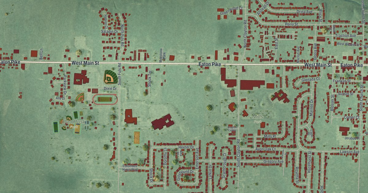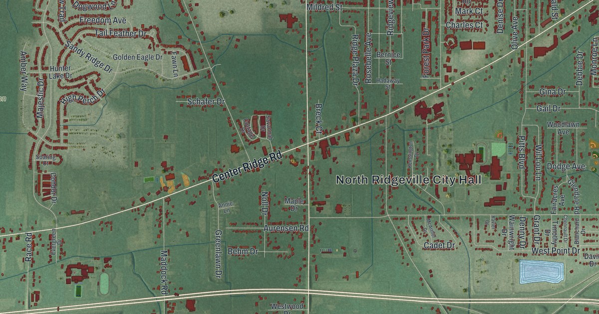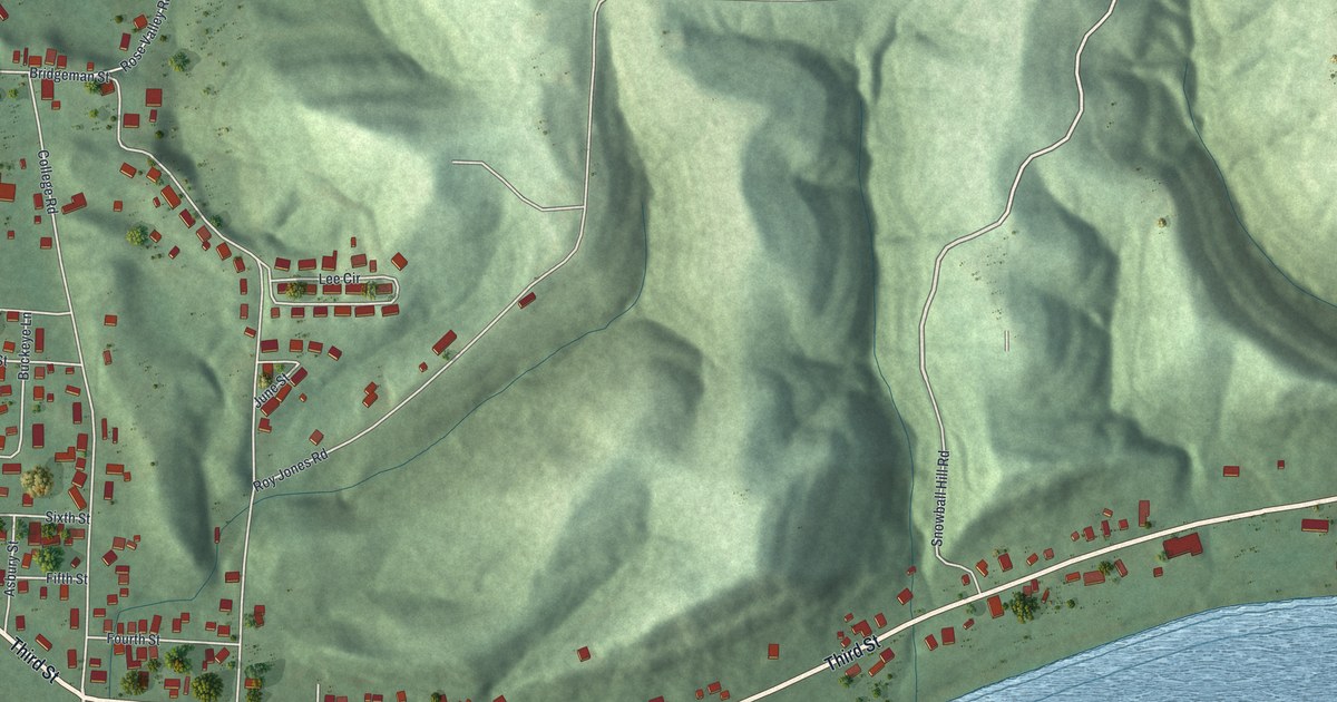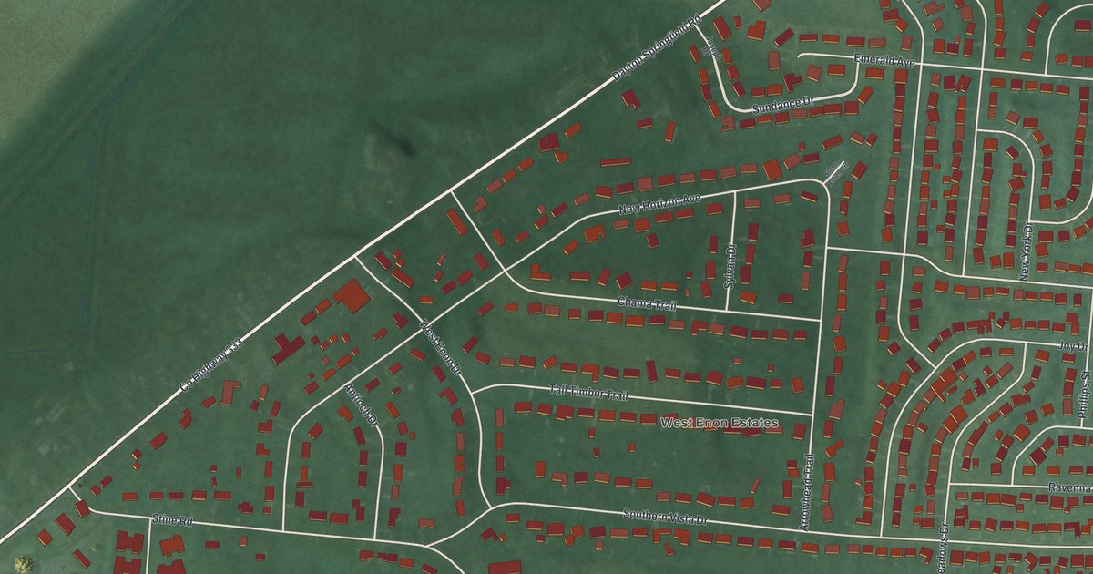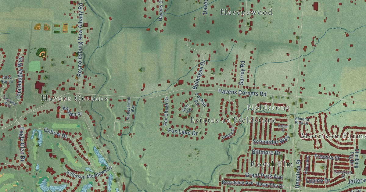
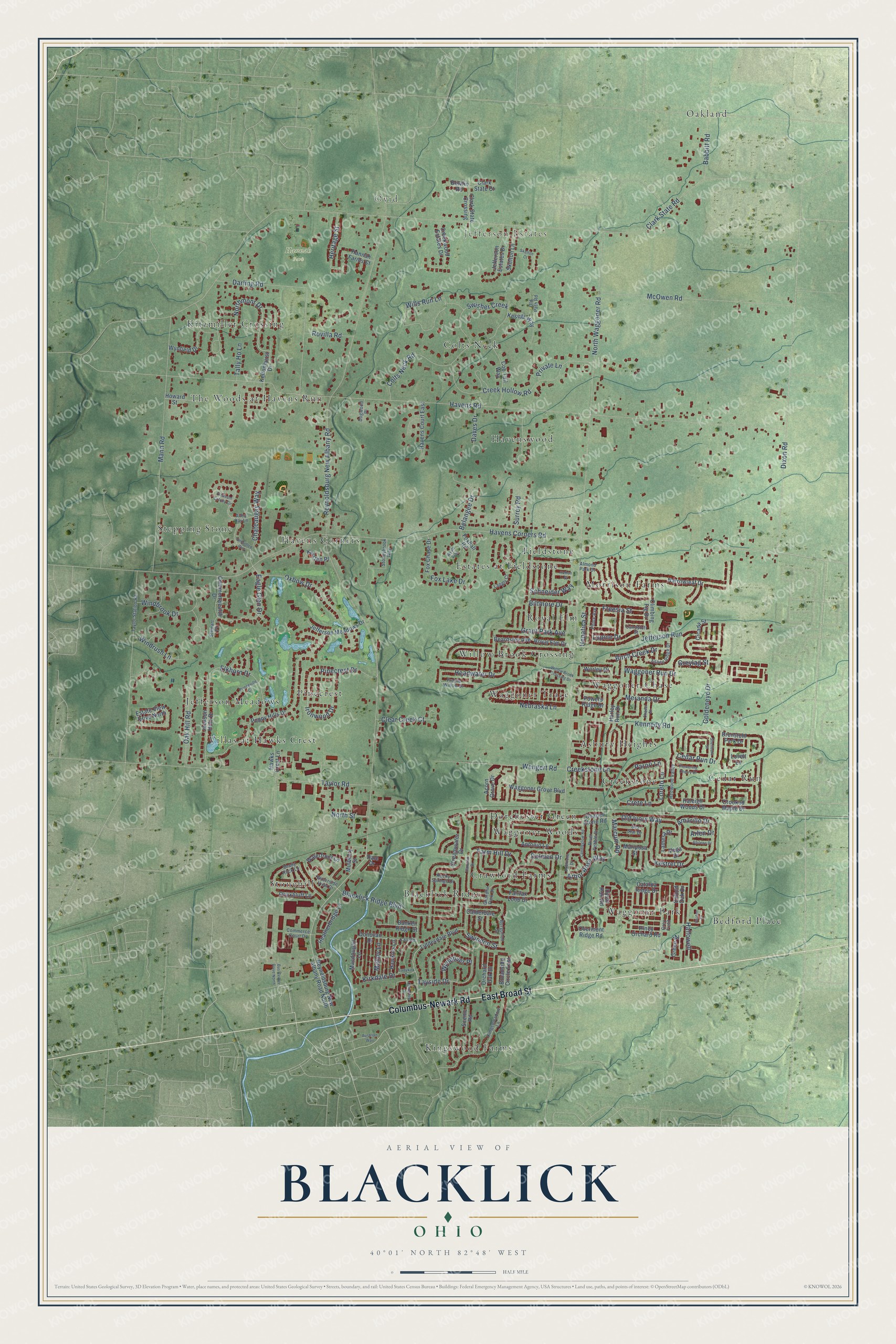
This beautifully detailed map of Blacklick, Ohio was created in 2026 using aerial imagery combined with modern topographical, census, street and landmark data. It’s a one-of-a-kind view of Blacklick that combines accurate data with a vintage aesthetic. The map shows every building in its true location, many of the roads carry their names, and the shaded topographic relief shows the shape of the land.
Explore an aerial view of Blacklick, Ohio
On the map you’ll find Ovid, Jefferson Estates, Hannah Park, Kingswood Farms, Cedar Run, Oakland, Jefferson Meadows, Havens Corners, Morrison Farms, Waggoner Park, Blacklick Ridge, The Woods at Havens Run, and more. If you look closely you can even find your house accurately drawn in its correct location. Zoom in on the preview to look for yours.
Did You Know?
From Internet Archive: "Charles settled and built a mill on Blacklick Creek, in the present Indiana County in early days a part of Westmoreland."
Blacklick is a community in Franklin County.
Take a closer look at the Blacklick map
Names on this map
These names are printed on this map.
Places: Ovid, Jefferson Estates, Hannah Park, Kingswood Farms, Cedar Run, Oakland, Jefferson Meadows, Havens Corners, Morrison Farms, Waggoner Park, Blacklick Ridge, The Woods at Havens Run, Havenswood, Stonehill, Willow Brook Crossing, Estates at Fieldstone, Colts Neck, Dorchester Green, Pinecrest, Waggoner Chase, Kitzmiller Crossing, Crawford Farms, Creekstone, Stepping Stone, Royal Elm, Bedford Place, Waggoner Trace, Asbury Heights, Villas at Hawks Crest, Fieldstone and Waggoner Woods.
Streets and roads: Columbus-Newark Road, East Broad Street, Reynoldsburg New Albany Road, Northmont Drive, Ironwood Drive, Old Ivory Way, Crete Lane, Headwater Drive, Greylag Street, Loreto Lane, Marcum Road, North Waggoner Road.
More street names, A to Z
Abilene Drive, Acorn Grove Drive, Alley Dar Lane, Almond Park Drive, Amarillo Drive, Antonio Lane, Arbor Rose Way, Arlen Drive, Aspen Ridge Drive, Austrian Way, Babbitt Road, Beardsley Avenue, Belangee Drive, Bergoholt Street, Biltmore Drive, Birch Creek Drive, Blacklick Ridge Boulevard, Bowfin Road, Brenstuhl Park Drive, Bricktone Drive, Broadside Circle East, Bunker Ridge Court, Bus Center Drive North, Calderdale Street, Call Road, Candleglow Road, Candytuft Street, Catalpa Ridge Drive, Cedar Run Drive, Chapel Stone Road, Chaser Street, Chateaugay Way, Cicada Street, Clark State Court, Clark State Crossing, Clark State Road, Clear Creek Court, Climbing Fig Drive, Cob Tail Way, Colts Neck Road, Commerce Court Drive, Commonwealth Drive, Cotterrew Drive, Creek Hollow Road, Creekstone Lane, Creekwood Estates Drive, Crooked Maple Drive, Dale Drive, Darling Road, Daves Drive, Dixon Road, Dogwood Place, Dolmen Drive, Donovan Drive, Dysar Run Road, Eagle Glen Drive, Elkhorn Drive, Estate View Drive North, Fairfax Loop Drive, Farm Hill Drive, Flowering Cherry Drive, Fox Chase Drive, Foxhall Road, Fox Lake Drive, Freesia Street, Goldeneye Drive, Grandlin Park Drive, Grant Park Avenue, Green Ml, Grey Field, Haleigh Woods Drive, Hallowell, Hannah Farms Court, Hannifin Drive, Harley Run Drive, Havens Corners Road, Havens Court East, Havens Road, Hawkins Lane, Hawks Crest Lane, Heatherbridge Lane, Hepatica Street, Heritage Street, Howard Street, Hutton Street, Jackson Hole Drive, Jefferson Estates Drive, Jefferson Meadows Drive, Jefferson Run, Karsten Place, Keltonhurst Drive, Kennedy Road, Kesegs Way, Kestrel Drive, Kingsmeadow Lane, Kirkdale Drive, Ladykirk Drive, Lamesa Drive, Langly Court, Liddesdale Boulevard, Lovell Lane, Lupine Drive, Macdougall Lane, Malloy Lane, Mann Road, Mariposa Street, McOwen Road, Meranda Drive, Mulberry Street, Narrowleaf Drive, Nebraska Lane, North Street, Oak Hill Road, Old Path Road, Onyxbluff Lane, Orchard Oak Drive, Overmont Ridge Road, Oxbow Drive, Oxford Oak Drive, Parori Lane, Phlox Avenue, Pinecrest Drive, Piney Orchard Road, Pleasant Colony Circle, Poppy Hills Drive, Powers Ridge Drive, Prairie Willow Drive, Princeville Court, Private Lane, Redwood Valley, Reynoldsburg New Albany Road North, River Pebble Drive, Rocky Springs Drive, Rovilla Road, Royal Elm Drive, Scenic Road, Schneider Way, Sea Star Drive, Shady Rock Lane, Shellbark Street, Skelton Court, Skelton Lane, Stewart Place, Stoneybrook Way, Streamwater Drive, Surrey Road, Swindon Street, Swisher Creek, Tally Ho Lane, Taylor Road, Taylor Station Road, Tayside Drive, Unbridled Way, Varden Court, Vega Drive, Waggoner Grove Boulevard, Waggoner Run Drive, Waterfront Lane, Waterside View Drive, Wengert Road, Willow Brook Crossing Drive, Wills Run Lane, Windbrook Drive, Windrush Lane, Worley Drive, Wyatt Way, Wyndover Place, Wynfield Drive.
See it on a wall
The Blacklick map as a framed print. Swipe for more.


This beautifully detailed map of Blacklick makes an attractive addition to your office, library, or den, and it can even be used to teach children the geography and history of the area. It also makes a great gift for anyone who grew up in Blacklick or moved away. When you’re done exploring, click here to get your copy of the Blacklick map.