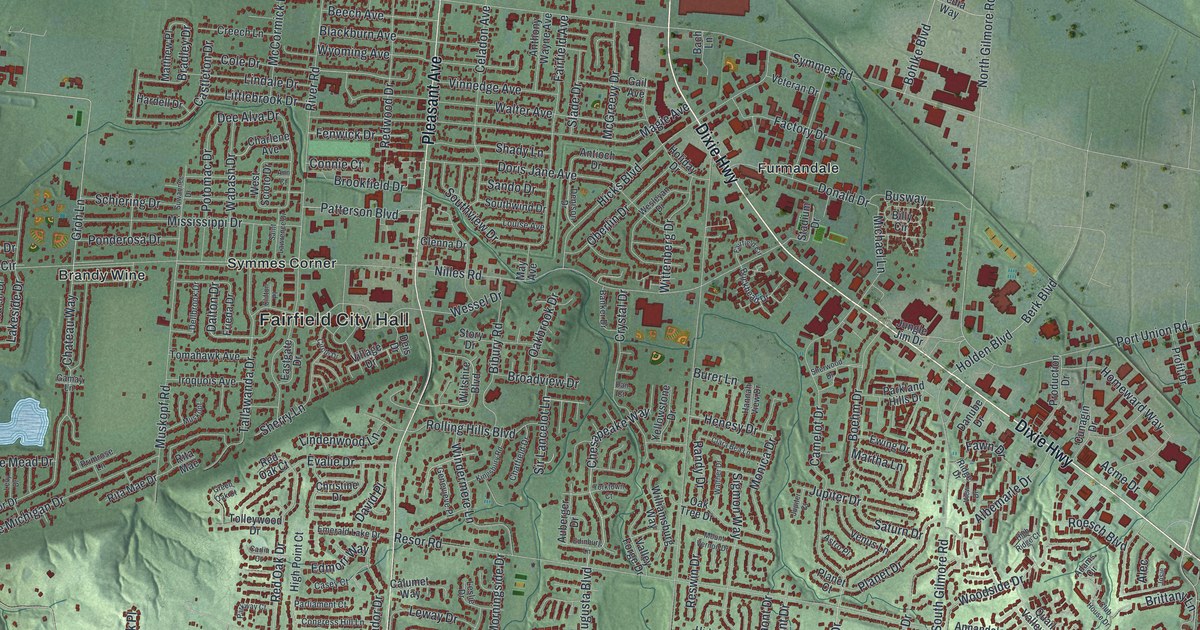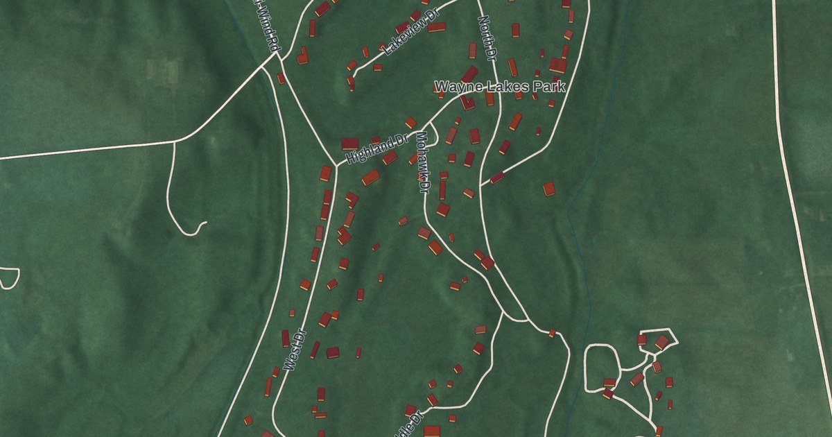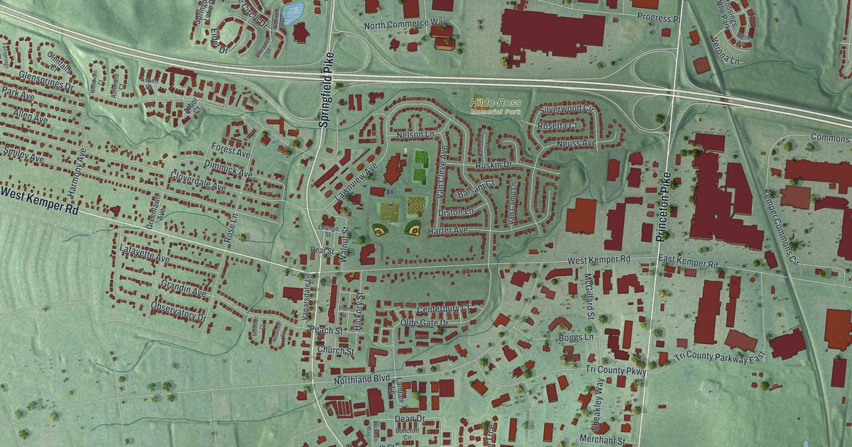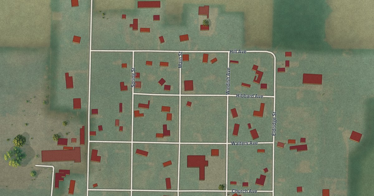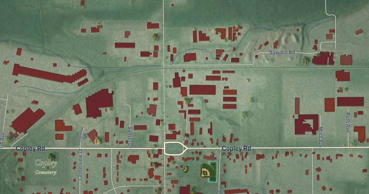
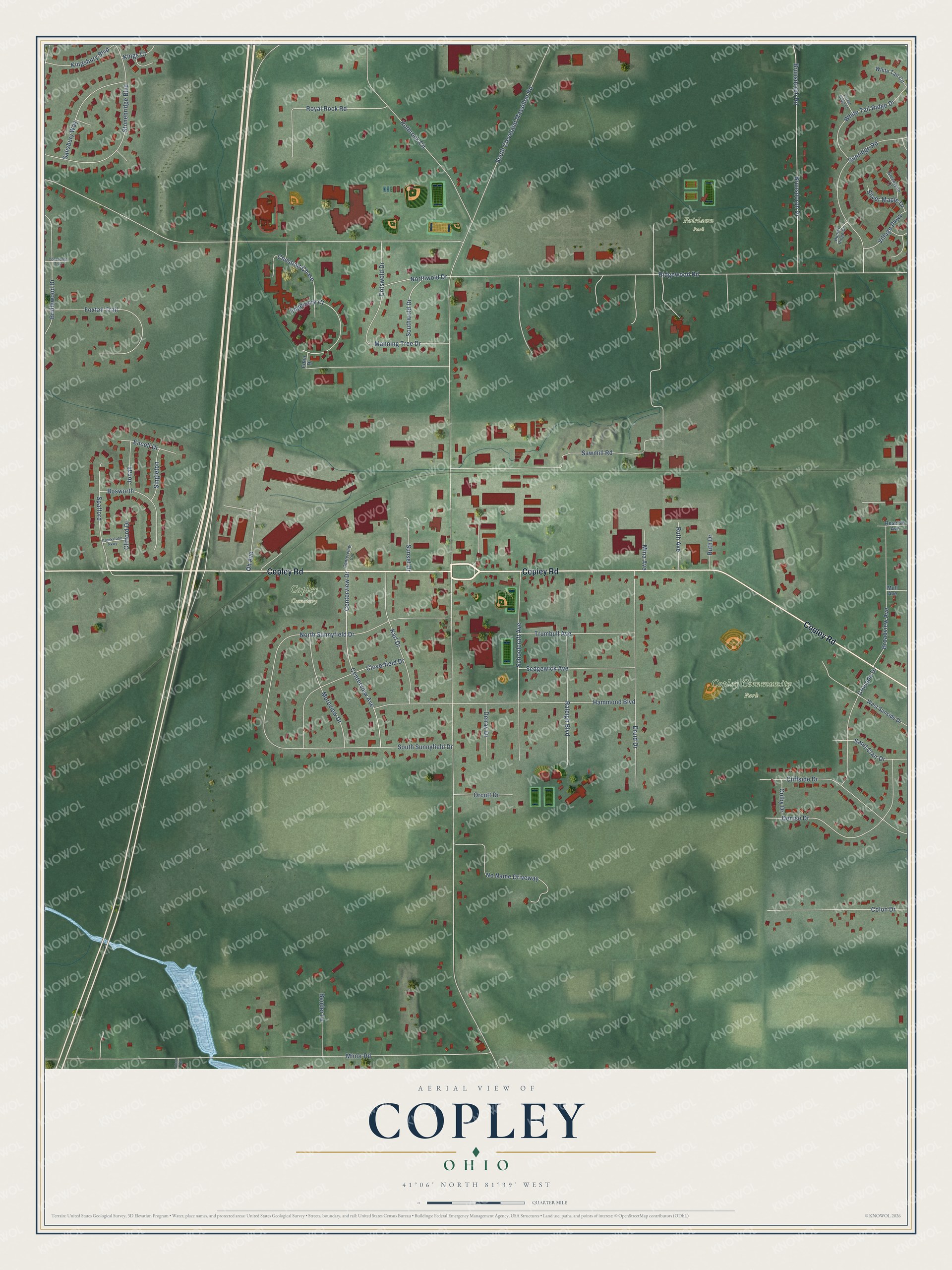
This beautifully detailed map of Copley, Ohio was created in 2026 using aerial imagery combined with modern topographical, census, street and landmark data. It’s a one-of-a-kind view of Copley that combines accurate data with a vintage aesthetic. The map shows every building in its true location, many of the roads carry their names, and the shaded topographic relief shows the shape of the land.
Explore an aerial view of Copley, Ohio
On the map you’ll find Copley Community Park, Fairlawn Park, and Copley Cemetery, along with Copley Road, South Cleveland Massillon Road, Ridgewood Road, Minor Road, Hammond Boulevard, South Sunnyfield Drive, Sawmill Road, Brunsdorph Drive, Brunsdorph Road, and more. If you look closely you can even find your house accurately drawn in its correct location. Zoom in on the preview to look for yours.
Did You Know?
From Internet Archive: "John Singleton Copley was born in Boston, in 1738; first painted in 1760; he was the father of Lord Lyndhurst, Lord Chancellor of Great Britain."
Copley is a community in Summit County.
Take a closer look at the Copley map
Names on this map
These names are printed on this map.
Places: Copley Community Park, Fairlawn Park and Copley Cemetery.
Streets and roads: Copley Road, South Cleveland Massillon Road, Ridgewood Road, Minor Road, Hammond Boulevard, South Sunnyfield Drive, Sawmill Road, Brunsdorph Drive, Brunsdorph Road, North Sunnyfield Drive, Druid Drive, Rothrock Circle.
More street names, A to Z
Bender Lane, Bosworth, Bridlewood Drive, Broadview Avenue, Centerview Avenue, Centerview Circle, Centerview Drive, Chestnut Chase, Clifford Drive, Cliffside Drive, Cloverfield Drive, Colby Drive, Colon Drive, Conestoga Trail, Coon Road, Cotswold Drive, Creekstone Parkway, Crusade Drive, Delray Drive, Denise Drive, Eden Drive, Edgemere Court, Encell Drive, Forest Ridge Court, Foxtail Trail, Greenspire Lane, Hunter Ridge Drive, Jonah, Karl Drive, Kingsbury Boulevard, Kings Court, Manning Tree Drive, Mina Avenue, Moreview Drive, Mull Avenue, No Name Driveway, Northwold Drive, Oh Avenue, Orcutt Drive, Raleigh Boulevard, Reserve Avenue, Royal Rock Road, Ruth Avenue, Ruth Drive, Saint Clair Drive, Salisbury Way, Schoolcraft Avenue, Sedgewick Avenue, Silver Maple Drive, Singleton, Southwold Drive, Spafford, Stonebridge Boulevard, Sunridge Road, Sunset Drive, Trumbull Avenue, Village Parkway, West Sunside Drive, White Tail Circle, White Tail Ridge Drive.
See it on a wall
The Copley map as a framed print. Swipe for more.


This beautifully detailed map of Copley makes an attractive addition to your office, library, or den, and it can even be used to teach children the geography and history of the area. It also makes a great gift for anyone with Copley roots. When you’re done exploring, click here to get your copy of the Copley map.