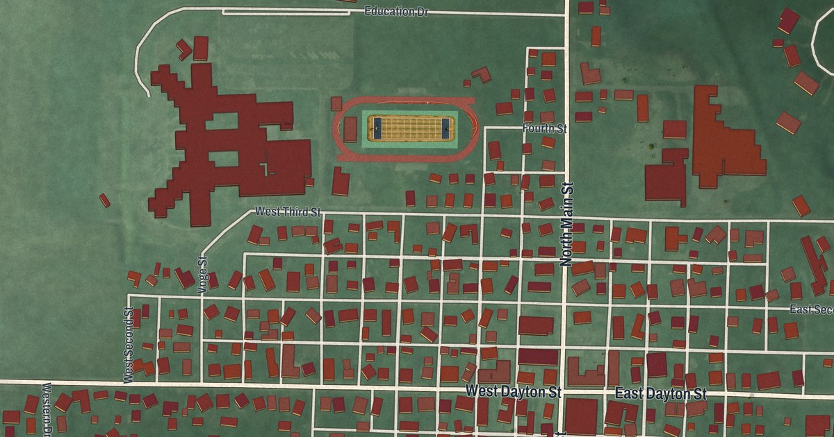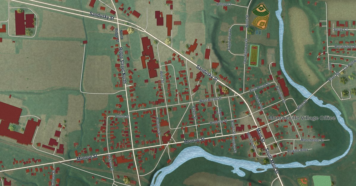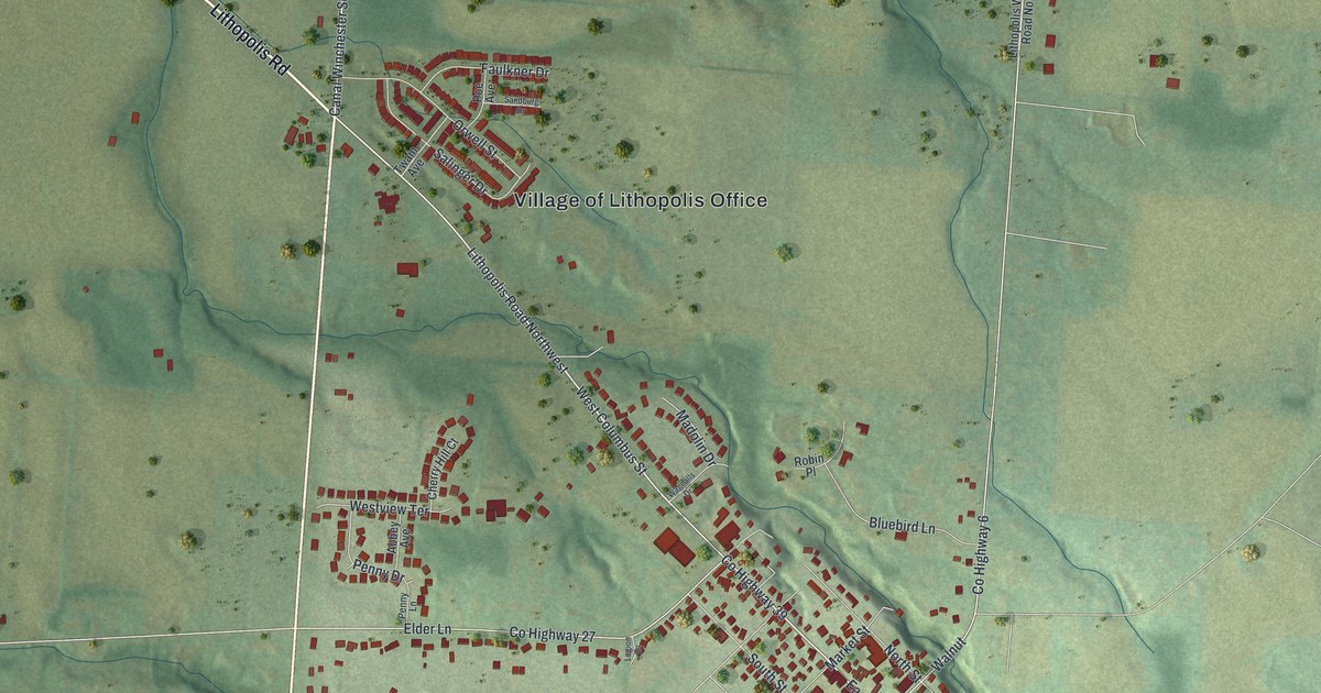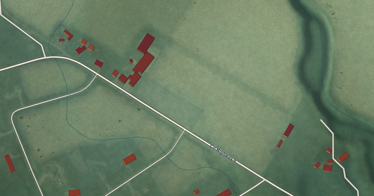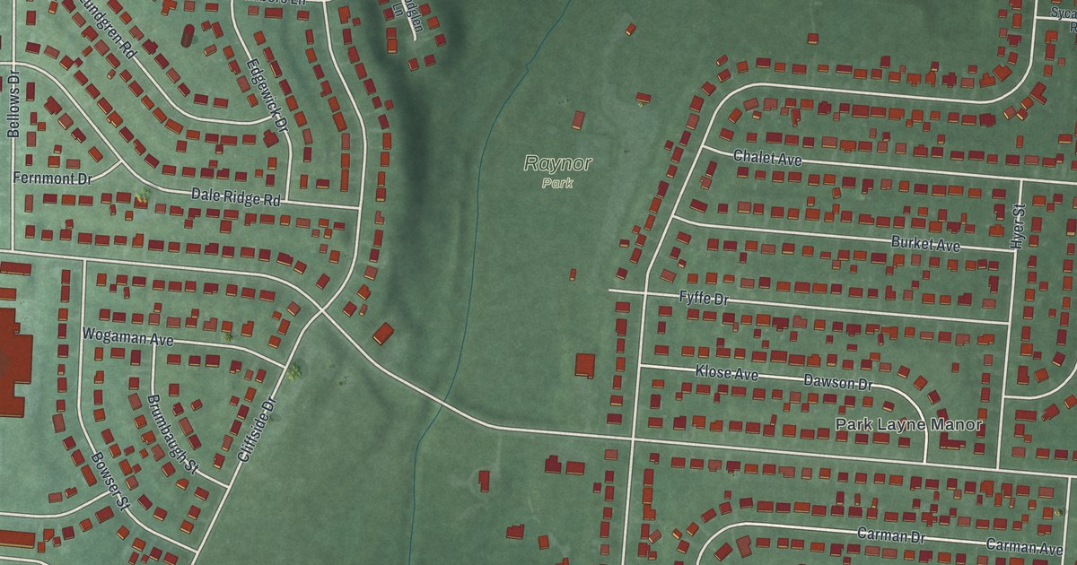
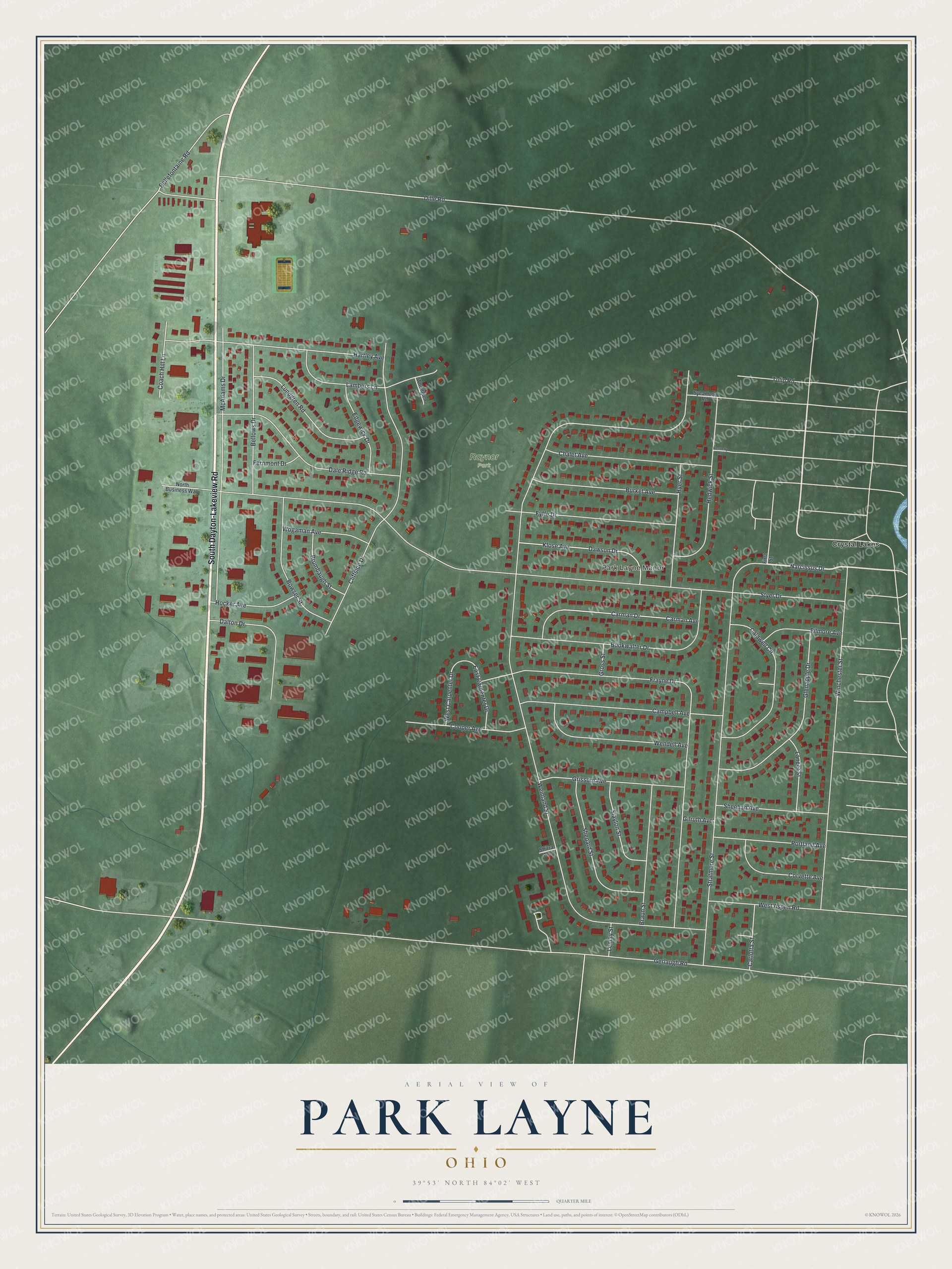
This beautifully detailed map of Park Layne, Ohio was created in 2026 using aerial imagery combined with modern topographical, census, street and landmark data. It's a modern aerial view of Park Layne in Clark County, Ohio, that combines modern data with a vintage aesthetic. The roads feature printed names, and if you look closely you can find your exact house accurately shown in its correct location.
Explore an aerial view of Park Layne, Ohio
On this map you'll find Park Layne Manor, Raynor Park, Crystal Lakes, South Dayton-Lakeview Road, Narcissus Drive, Weinland Street, Dille Road, Gerlaugh Road, Styer Drive, Frayne Drive, Stratmore Street, Winchester Street, and more. Each red shape is a building, so zoom in on the preview and look for yours.
Park Layne is a community in Clark County. The Census Bureau counted 4,248 people here in 2020. The map prints the town name in its title panel, with the coordinates below it.
Take a closer look at the Park Layne map
Names on this map
These names are printed on this map.
Places: Park Layne Manor, Raynor Park and Crystal Lakes.
Streets and roads: South Dayton-Lakeview Road, Narcissus Drive, Weinland Street, Dille Road, Gerlaugh Road, Styer Drive, Frayne Drive, Stratmore Street, Winchester Street, Cliffside Drive, McAdams Drive, Bookwalter Drive.
More street names, A to Z
Bellefontaine Road, Bellows Drive, Bowser Street, Braun Street, Brumbaugh Street, Burket Avenue, Caldwell Circle, Campbell Avenue, Carlotta Street, Carman Avenue, Carman Drive, Chalet Avenue, Coach Hill Lane, Cooper Avenue, Corvette Avenue, Dale Ridge Road, Dalton Drive, Dawson Drive, East Carpenter Drive, Edgewick Drive, Fernmont Drive, Filmore Avenue, First Street, Fyffe Drive, Gilruth Avenue, Glenapple Drive, Grissom Avenue, Gross Street, Hartley Avenue, Hedwick Street, Hocker Avenue, Hyer Street, Kennedy Road, Klose Avenue, Lambers Lane, Lancer Street, Lemay Street, Lundgren Road, North Business Way, Portland Avenue, Sheehan Avenue, Shepard Street, Shirra Avenue, Slayton Street, Sycamore Road, Tulip Road, Wendell Avenue, West Aspen Road, West Carpenter Drive, Wogaman Avenue, Woodglen Lane.
See it on a wall
The Park Layne map as a framed print. Swipe for more.


Created by KNOWOL in 2026. The buildings are small red shapes, the roads carry their printed names, and shaded relief shows the shape of the land. The title panel reads "AERIAL VIEW OF PARK LAYNE, OHIO" with 39°53' NORTH 84°02' WEST.
It looks right in a kitchen, an office or a den, and it's a gift for anyone who grew up in Park Layne or moved away. Open the preview and find your street. See sizes and frames for the Park Layne map.