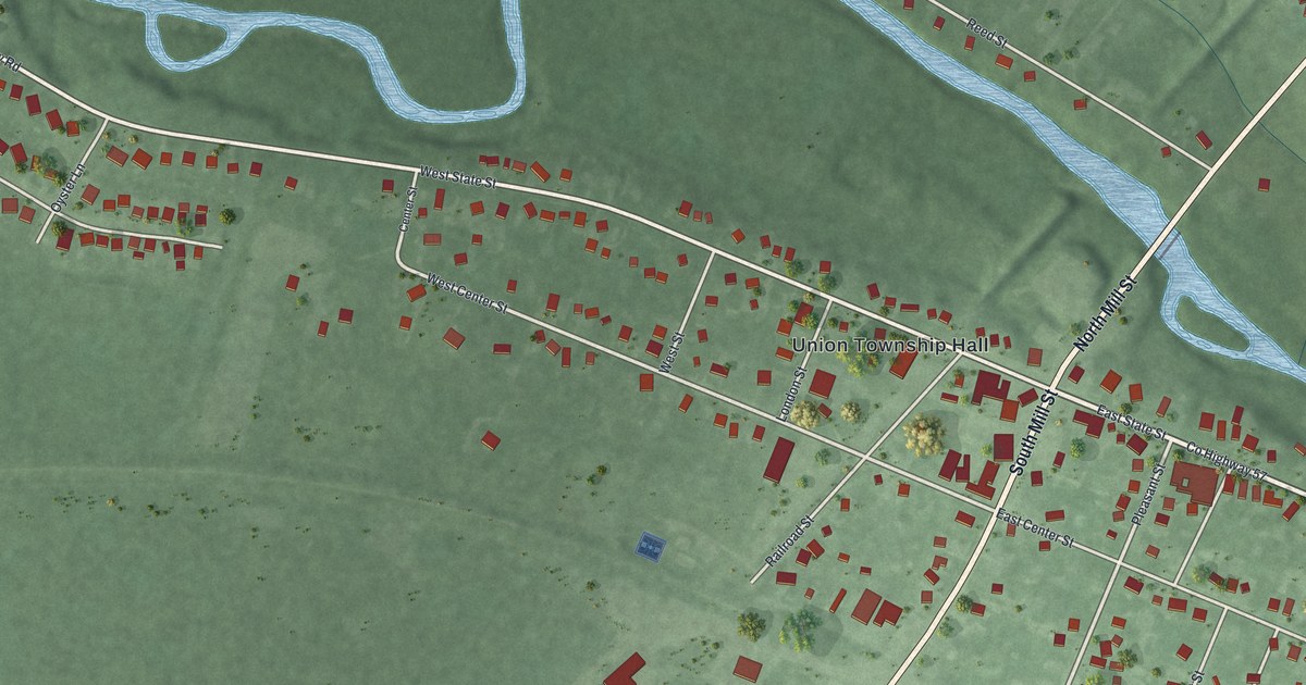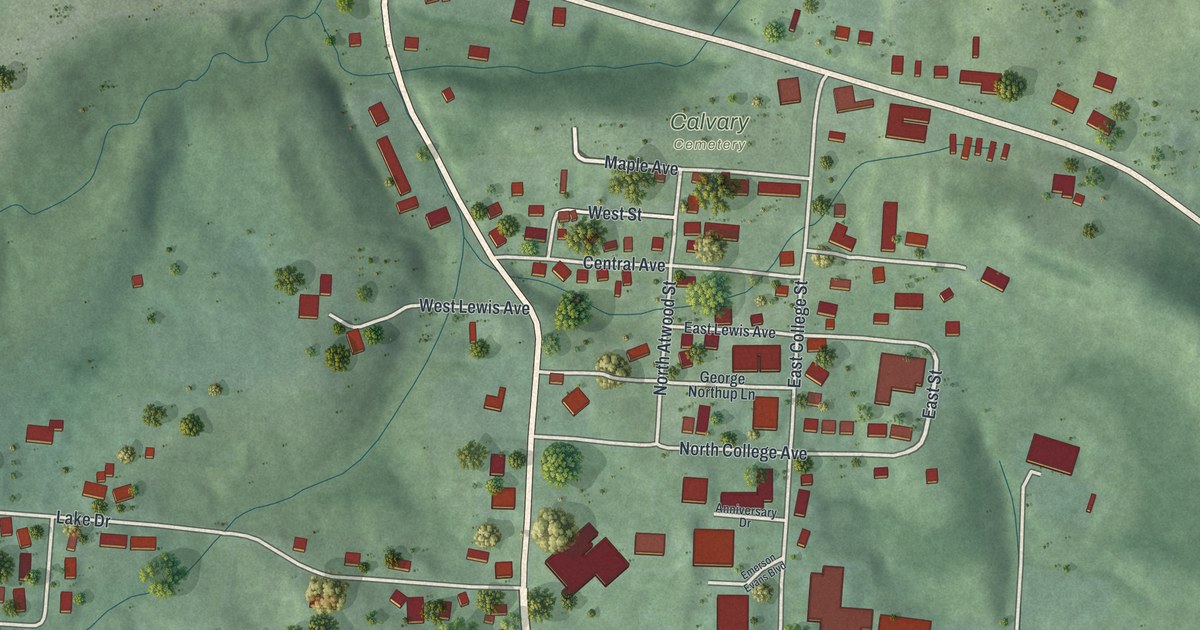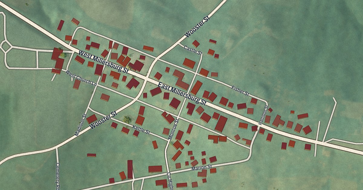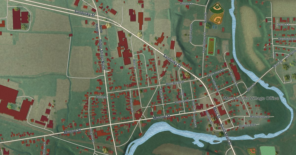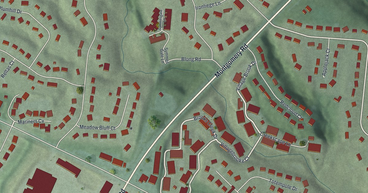
This beautifully detailed map of Sixteen Mile Stand, Ohio was created in 2026 using aerial imagery combined with modern topographical, census, street and landmark data. It's a modern aerial view of Sixteen Mile Stand in Hamilton County, Ohio, that combines modern data with a vintage aesthetic. The roads feature printed names, and if you look closely you can find your exact house accurately shown in its correct location.
Explore an aerial view of Sixteen Mile Stand, Ohio
On this map you'll find Montgomery Road, Harper Point Drive, Village Brook Drive, Brooks Creek Drive, Villagebrooke Court, Mariners Cv, Appleseed Drive, Snider Road, East Kemper Road, Kemper Woods Drive, Calumet Way, Twilight Tear Lane, and more. Each red shape is a building, so zoom in on the preview and look for yours.
Sixteen Mile Stand is a community in Hamilton County. The Census Bureau counted 3,091 people here in 2020. The map prints the town name in its title panel, with the coordinates below it.
Take a closer look at the Sixteen Mile Stand map
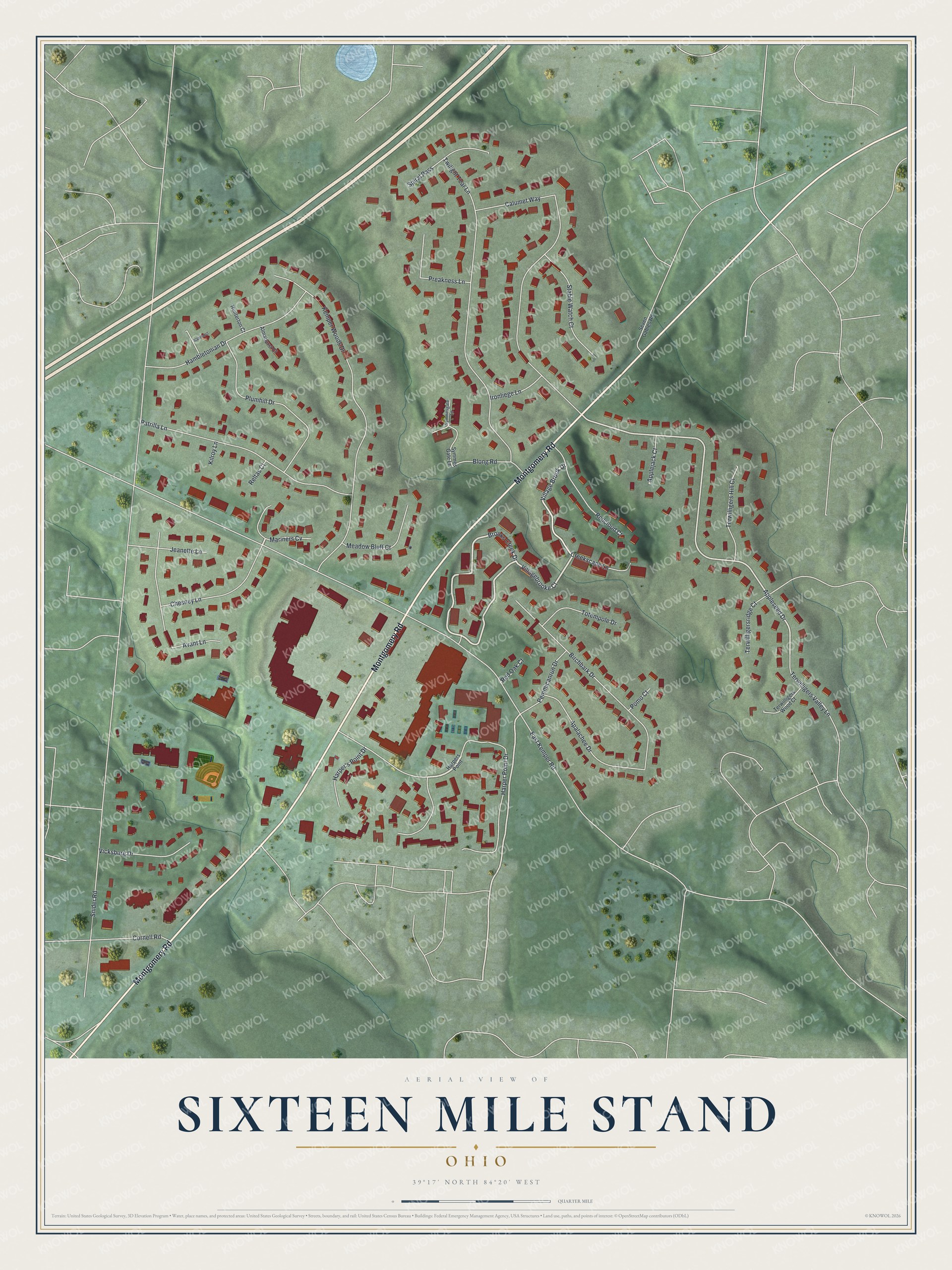
Names on this map
These names are printed on this map.
Streets and roads: Montgomery Road, Harper Point Drive, Village Brook Drive, Brooks Creek Drive, Villagebrooke Court, Mariners Cv, Appleseed Drive, Snider Road, East Kemper Road, Kemper Woods Drive, Calumet Way, Twilight Tear Lane.
More street names, A to Z
Alamhurst, Almahurst Court, Apalachee Drive, Applejack Court, Avant Lane, Birchbark Drive, Blong Road, Chesney Lane, Cornell Road, Creekscape Lane, Hambletonian Drive, Harper's Point Drive, Harpers Point, Hunterton Court, Ironliege Lane, Jeanette Lane, Kilroy Lane, Meadow Bluff Court, Patrilla Lane, Pemmicanrun Drive, Plumhill Drive, Pomo Court, Preakness Lane, Redcloud Court, Red Oak Court, Reltas Court, Seven Gables Road, Spiral Pass, Stable Watch Court, Symmes Gate Lane, Symmesgate Lane, Terwilligers Hill Court, Terwilligersridge Court, Terwilligers Valley Lane, Terwilligers Wood Court, Totempole Drive, Vicksburg Drive.
See it on a wall
The Sixteen Mile Stand map as a framed print. Swipe for more.


Created by KNOWOL in 2026. The buildings are small red shapes, the roads carry their printed names, and shaded relief shows the shape of the land. The title panel reads "AERIAL VIEW OF SIXTEEN MILE STAND, OHIO" with 39°17' NORTH 84°20' WEST.
It suits a den, a classroom or a front hall, and it makes a gift for anyone with Sixteen Mile Stand roots. Open the preview and find the block you know. See sizes and frames for the Sixteen Mile Stand map.