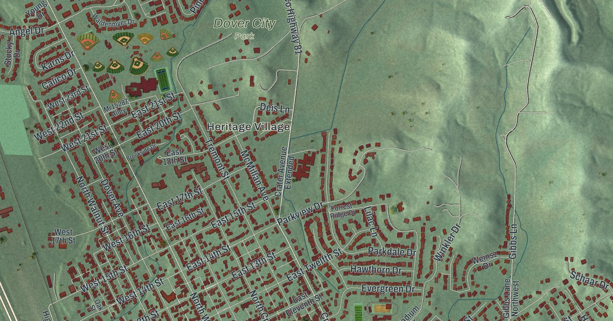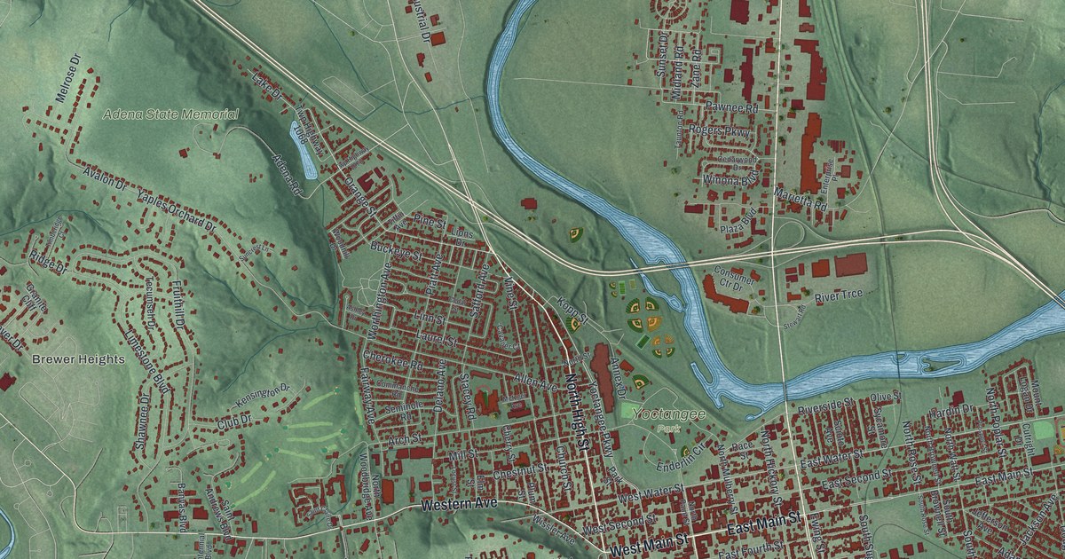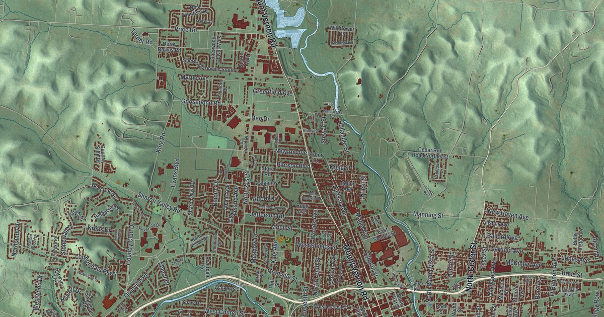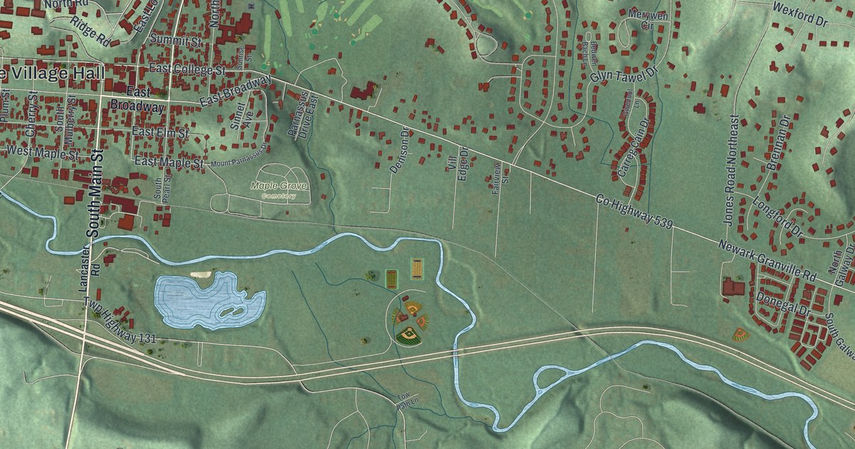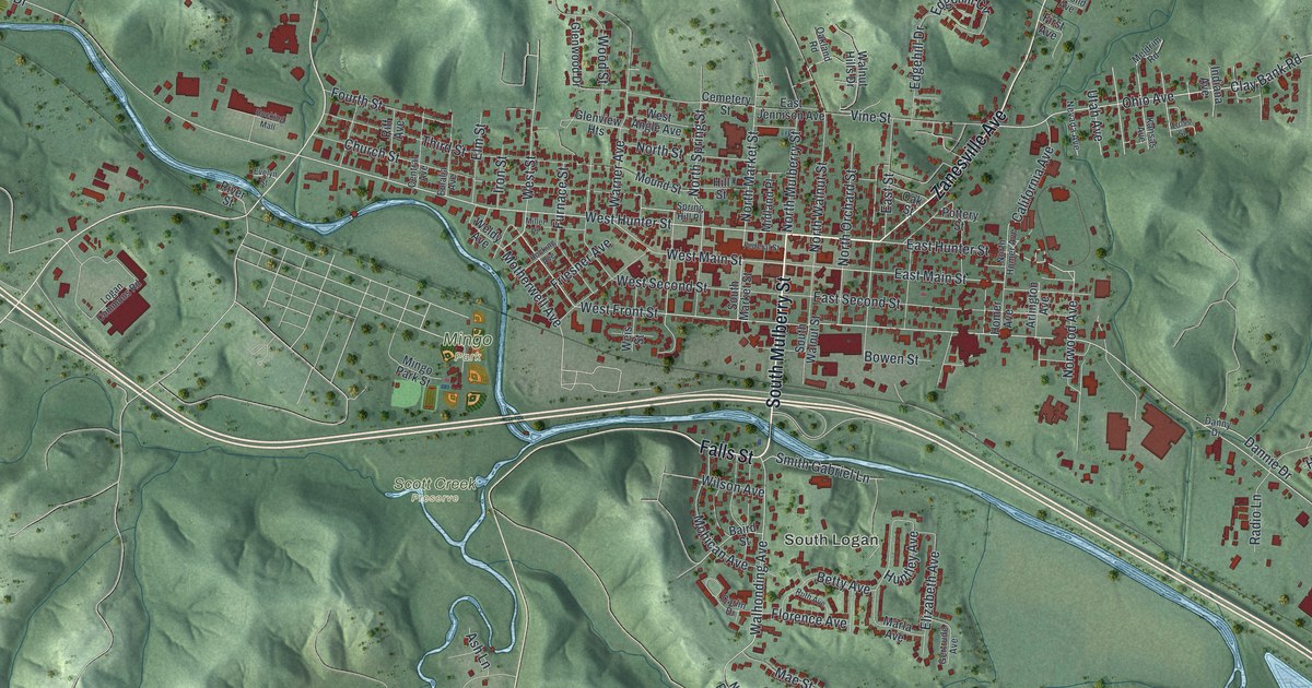
If you grew up in Logan, shopped along Main Street, or have family over in South Logan, this map gives you a lot to find. It's a modern aerial view of Logan in Hocking County, Ohio, made from modern data and given a vintage look. Green hills are shaded all around the town. A blue river winds across the sheet from the upper left to the lower right, and a long lake sits near the left edge. More than 4,500 buildings are marked in red, packed tight downtown and thinning out into the hollows.
Main Street, South Logan and Mingo Park
Thomas Worthington laid out Logan starting on June 27, 1816, while he was Governor of Ohio, and set aside a corner lot at Main and Market for a public market. West Main and East Main Streets run through the middle of town, with West Hunter and East Hunter Streets one block north. South Mulberry Street, Falls Street, and South Logan's Walhonding, Mohican and Wilson Avenues are also on the map.
On this map you'll find West Main Street, East Main Street, West Hunter Street, Mingo Park, South Logan, Scott Creek Preserve, Lake Logan Road, Zanesville Avenue, Ohio Avenue, Clay Bank Road, and more. Each red shape is a building, so zoom in on the preview and look for yours.
Colonel Charles Young's 1918 ride through Logan
In 1918, Charles Young was the Army's highest-ranking Black officer. He'd been medically retired, and he wasn't given a command in World War I. So he set out to prove he was fit for duty. He rode 497 miles on horseback from his home in Wilberforce, Ohio, to Washington, D.C. He left on June 6 and made the trip in 17 days, with one day of rest. Every hour, he rode for 45 minutes and walked for 15. He averaged 31 miles a day. Logan was his third night's stop, says an Ohio historical marker on West Hunter Street.
In Washington, Young met with Secretary of War Newton Baker. Baker didn't give him a clear answer. Young was called back to duty and sent to Camp Grant, Illinois, just five days before the war ended. The marker's street, West Hunter Street, is named on the map.
For anyone who knows Main Street and South Logan
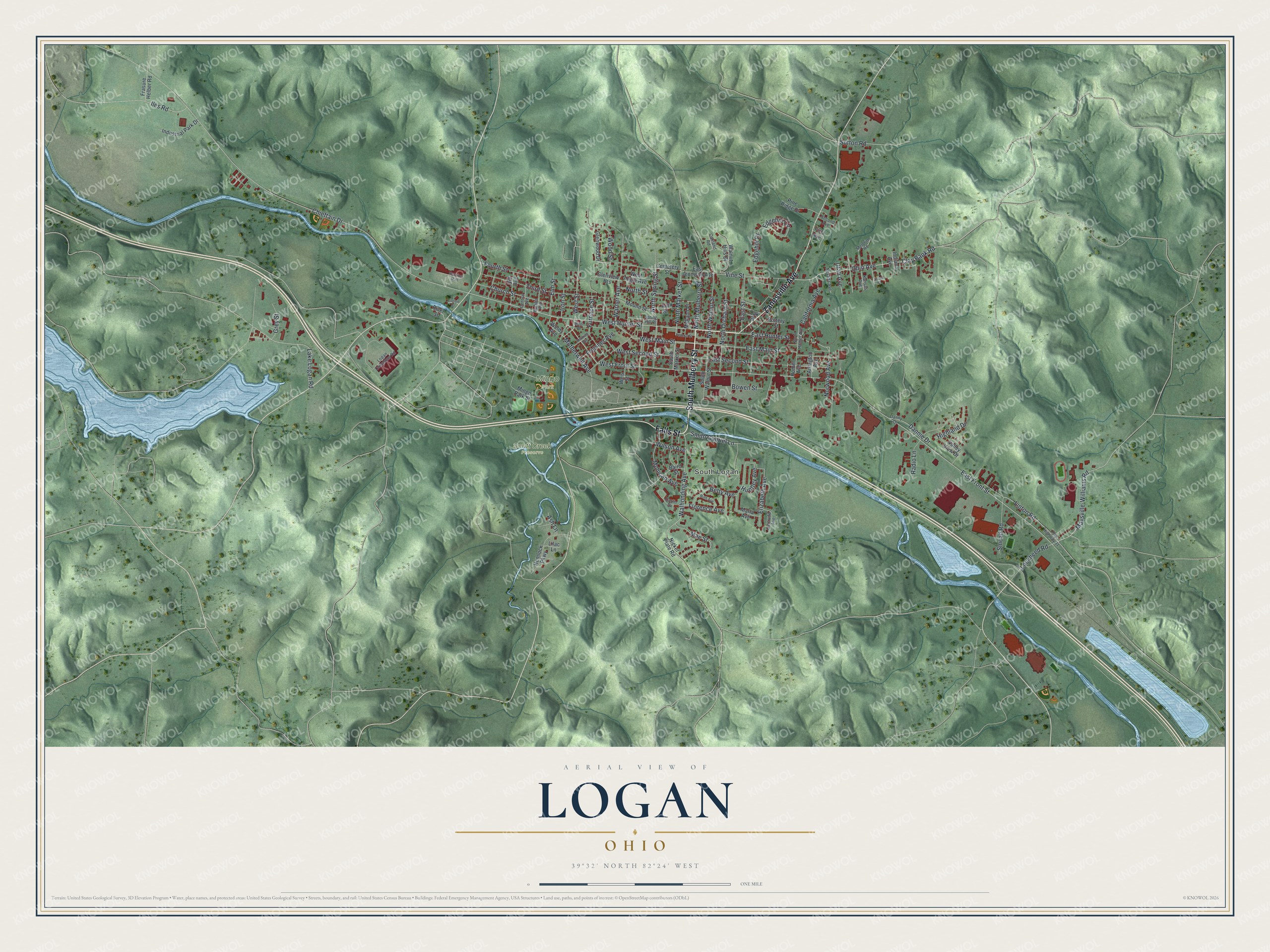
Created by KNOWOL in 2026, this Logan map shows the town in deep red on soft green hills. The shading comes from USGS elevation data, so the ridges around town are the real shape of the land. The title panel reads "Aerial View of Logan, Ohio," with the coordinates 39°32' North, 82°24' West and a one-mile scale bar.
It fits well in a kitchen, office or den. It's a thoughtful gift for someone who grew up in Logan, or who moved away and still knows the way to Mingo Park. Open the preview, zoom in and find the streets you know. See sizes and frames for the Logan map.