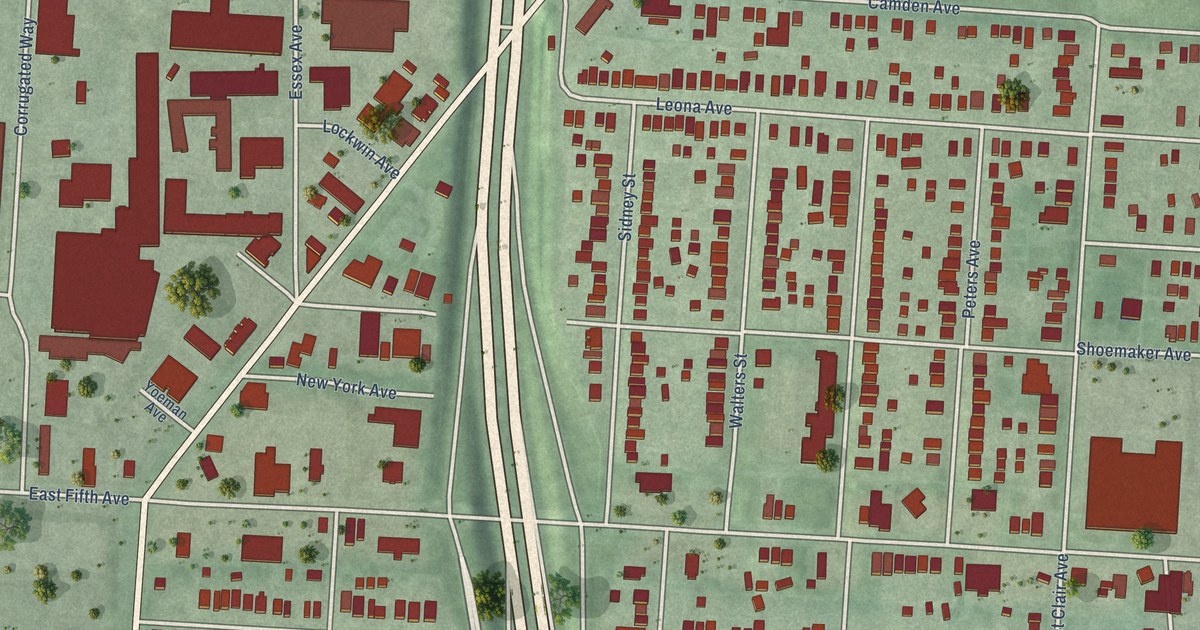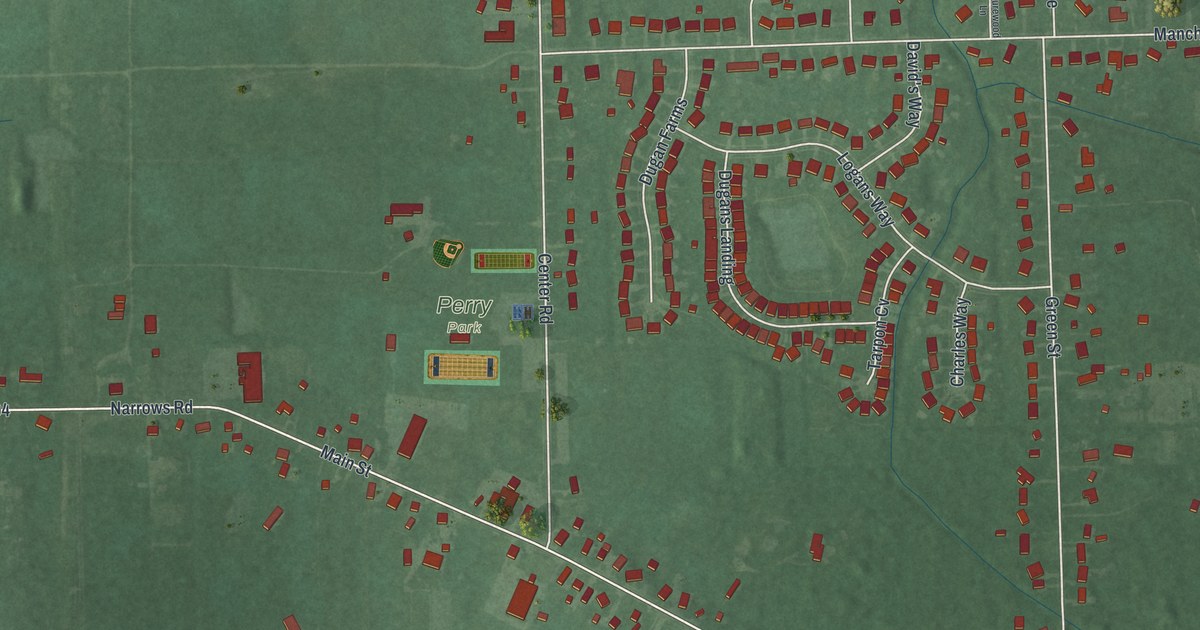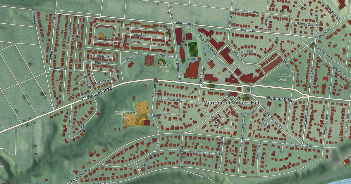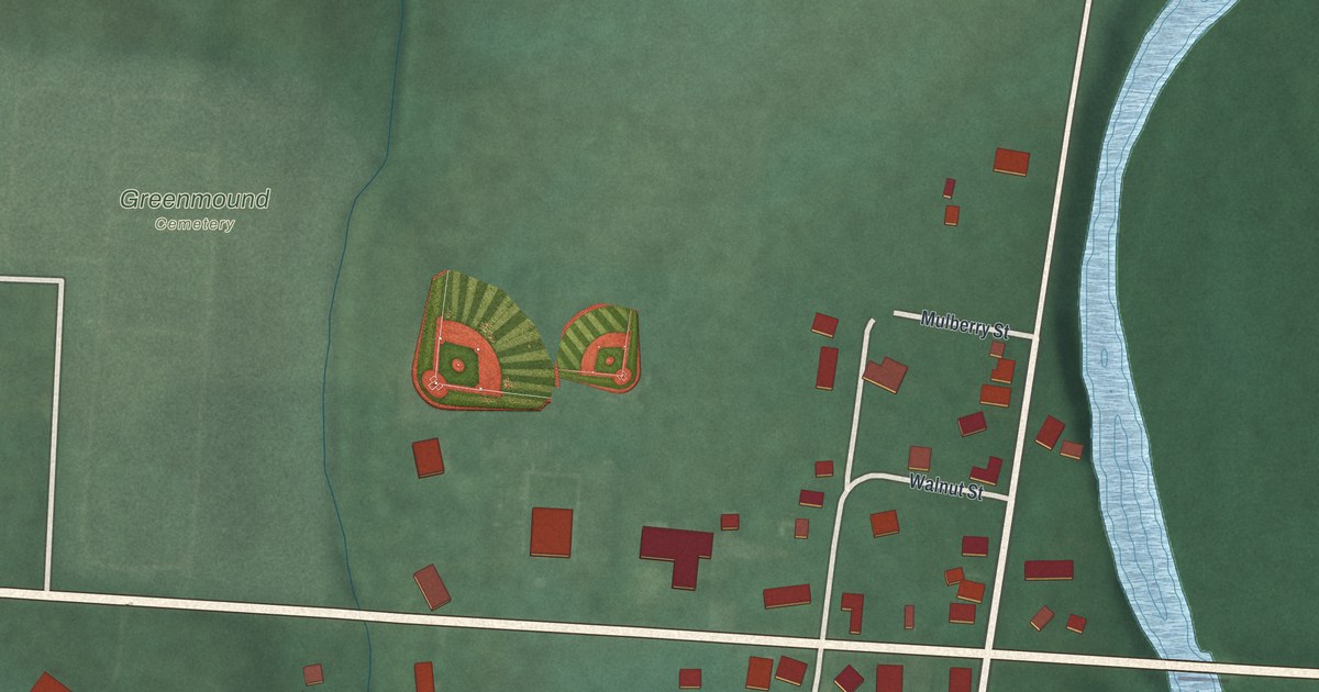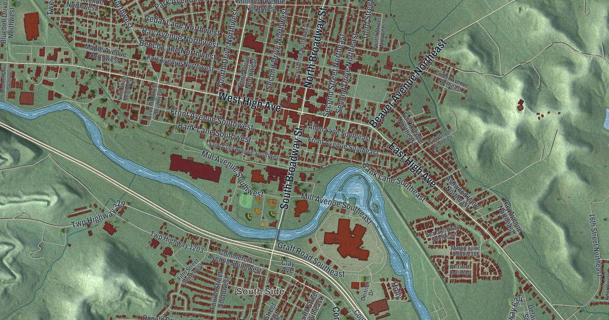
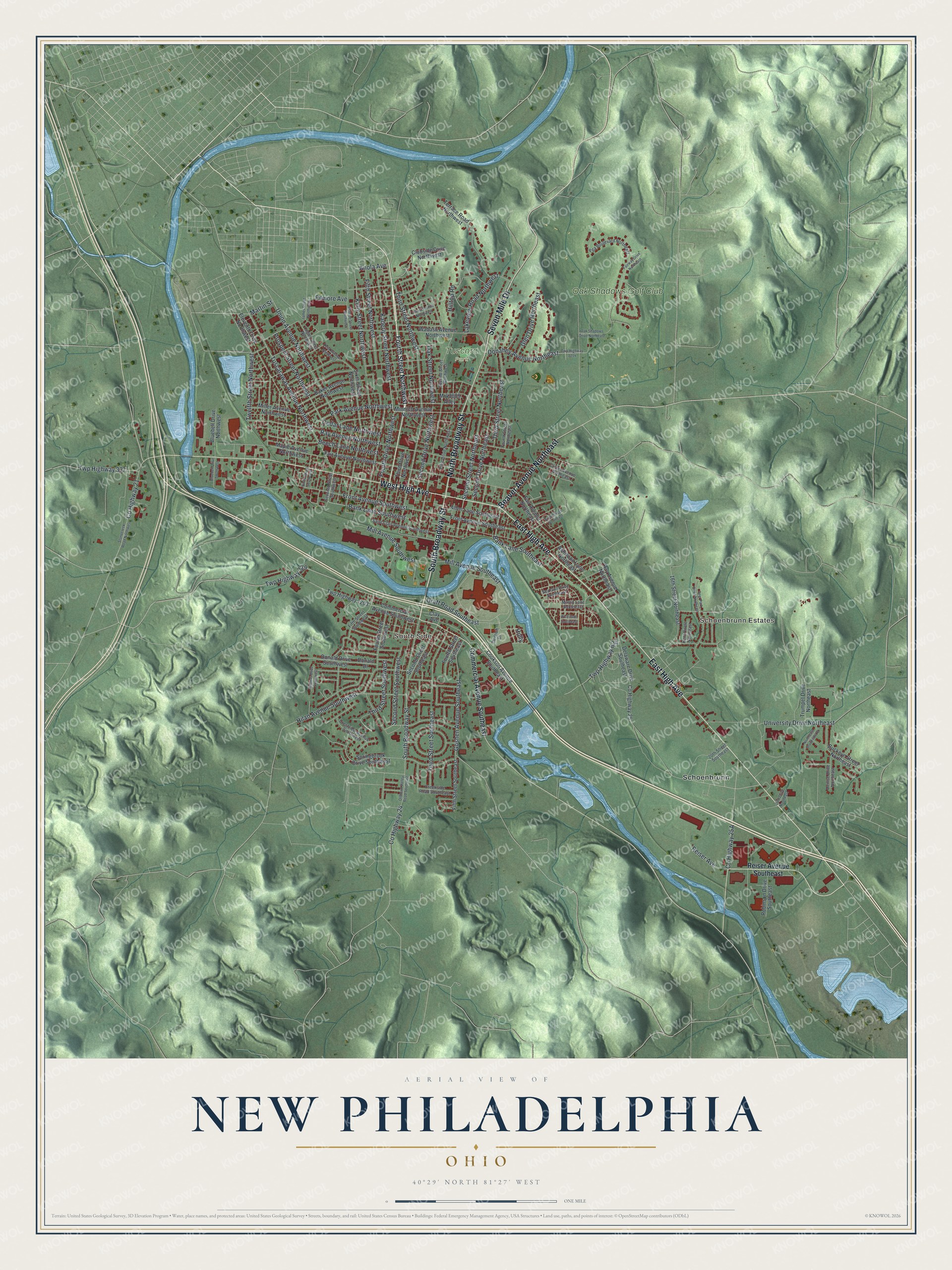
This beautifully detailed map of New Philadelphia, Ohio was created in 2026 using aerial imagery combined with modern topographical, census, street and landmark data. It’s a one-of-a-kind view of New Philadelphia that combines accurate data with a vintage aesthetic. The map shows every building in its true location, many of the roads carry their names, and the shaded topographic relief shows the shape of the land.
Explore an aerial view of New Philadelphia, Ohio
On the map you’ll find Schoenbrunn Estates, South Side, Tuscora Park, Schoenbrunn, and Oak Shadows Golf Club, along with South Broadway Street, East High Avenue, North Broadway Street, Seven Mile Drive, West High Avenue, Beaver Avenue Northeast, Tuscarawas Avenue Northwest, and more. If you look closely you can even find your house accurately drawn in its correct location. Zoom in on the preview to look for yours.
Did you know this piece of New Philadelphia, Ohio history?
John Knisely of Pennsylvania wanted to live where game was more plentiful. In 1804 he came back to Ohio with his family and 33 other pioneers. He hired surveyor John Wells to lay out New Philadelphia. Wells gave it the same grid of streets as the big city back east.
Take a closer look at the New Philadelphia map
Street and place names on the New Philadelphia, Ohio map
These names are printed on the map of New Philadelphia, Ohio.
Places: Schoenbrunn Estates, South Side, Tuscora Park, Schoenbrunn and Oak Shadows Golf Club.
Streets and roads: South Broadway Street, East High Avenue, North Broadway Street, Seven Mile Drive, West High Avenue, Beaver Avenue Northeast, Tuscarawas Avenue Northwest, Bank Lane Southwest, Anola Avenue, Bank Lane Southeast, Third Street Northwest, Fourth Drive Northwest.
More street names, A to Z
16th Street Northeast, 20th Street Southeast, 24th Drive Northeast, Allen Lane Southeast, Ashwood Lane Northeast, Baker Avenue Northwest, Beech Lane Northwest, Bluebell Drive Northwest, Bluebell Drive Southwest, Buckeye Street Northeast, Cedar Lane Northwest, Clay Avenue, Clubside Drive Northwest, Commercial Avenue Southeast, Commercial Avenue Southwest, Cookson Avenue Southeast, County Highway 21, County Highway 24, County Highway 25, Creekside Road Southeast, Crestview Avenue Southwest, Crider Avenue Northeast, Deer Park Drive Northeast, Deitrich Drive, Delaware Drive Southeast, Denise Drive Northeast, Donahey Avenue Northeast, Donald Drive, Donald Drive Southwest, Eleventh Drive Northwest, Fair Avenue Northeast, Fair Avenue Northwest, Fairway Drive Northeast, Fifth Street Northwest, Fifth Street Southeast, Fifth Street Southwest, Filmore Avenue, First Drive Northwest, Fourth Street Northeast, Fourth Street Northwest, Fourth Street Southeast, Fourth Street Southwest, Front Avenue Southeast, Front Avenue Southwest, Glen Drive Northeast, Goshen Avenue Southeast, Graff Road Southeast, Hilan Avenue Southwest, Hilltop Road, Holly, James Street Northwest, Kaderly Street Northwest, Kelly Street Northwest, Kent Circle Northeast, Lakeview Road Northwest, Lewis Avenue Northwest, Logan Street Northwest, Maple Avenue Northwest, Marlin Lane Southeast, Martin Street, Mill Avenue Southeast, Mill Avenue Southwest, Miller Avenue Northwest, Minnich Avenue Northwest, Monroe Street Northwest, Mr43889 Alley, Ninth Street Southwest, Northeast Brookside Drive, Oak Shadows Drive Northeast, Oak Street Northwest, Oldtown Valley Road Southeast, Park Avenue Northwest, Pga Boulevard Northeast, Port Lane Southeast, Prospect Street Northwest, Ray Avenue Northeast, Ray Avenue Northwest, Reiser Avenue, Reiser Avenue Southeast, Robinson Drive Southeast, Saint Clair Avenue Southwest, Sea Gull Drive Southeast, Second Drive Northeast, Second Drive Northwest, Second Street Northeast, Second Street Northwest, Second Street Southeast, Second Street Southwest, Seventh Street Southwest, Sixth Street Northeast, Sixth Street Northwest, Springbrook Drive Southwest, Stonecreek Road Northwest, Terrace Road Northwest, Third Drive Northwest, Third Street Northeast, Third Street Southeast, Third Street Southwest, Thomas Drive Southwest, Trumpet Drive Northeast, Twelfth Street Northwest, Twp Highway 329, Twp Highway 337, Twp Highway 634, Twp Highway 1203, Twp Highway 1214, Union Avenue Northwest, University Drive Northeast, Wabash Avenue Northwest, Zella Avenue Northwest.
See the New Philadelphia, Ohio map on a wall
The New Philadelphia map as an 18 x 24 inch print in a black frame.

This beautifully detailed map of New Philadelphia makes an attractive addition to your office, library, or den, and it can even be used to teach children the geography and history of the area. It also makes a great gift for someone who left New Philadelphia and still calls it home. When you’re done exploring, click here to get your copy of the New Philadelphia map.