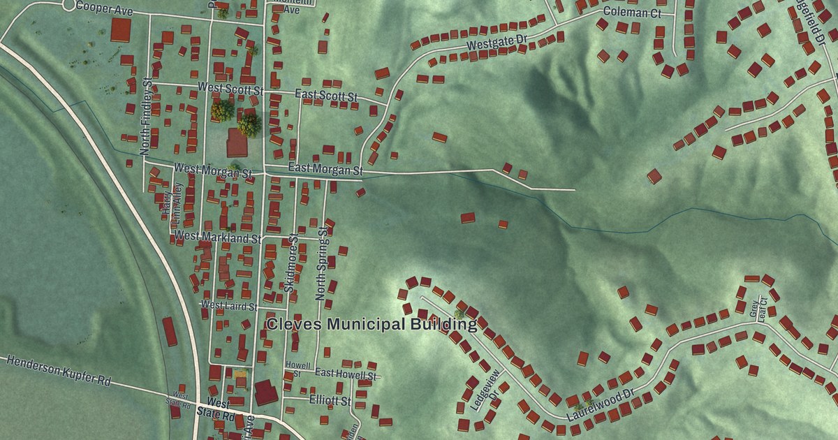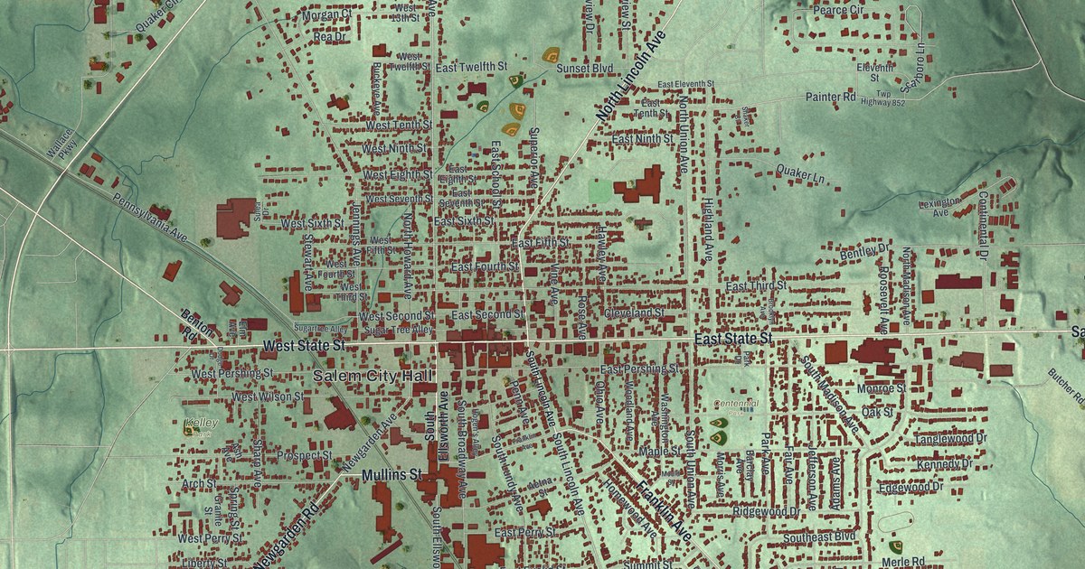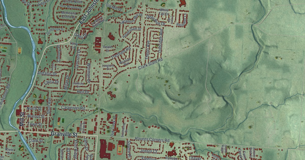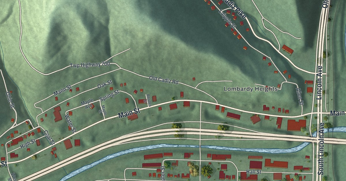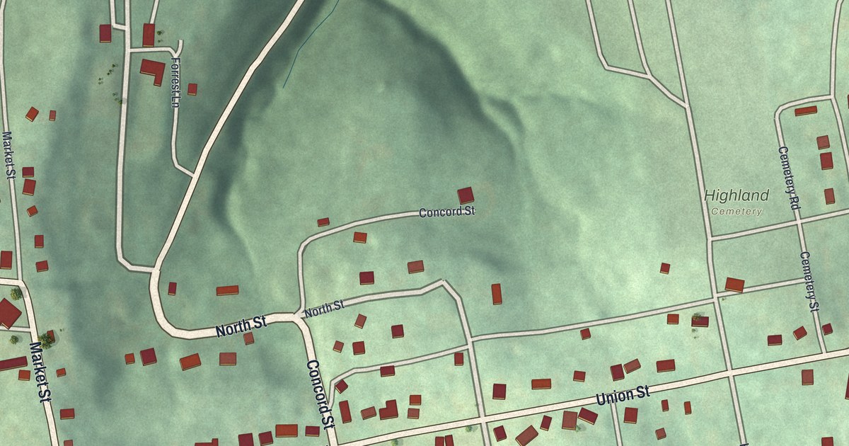
If you grew up in Mount Pleasant or still have family on Union Street, this map brings the whole village home. It's a modern aerial view of Mount Pleasant in Jefferson County, Ohio, made from modern data and given a vintage feel. Green hills fold around the village on every side. Buildings sit in small red shapes along the streets, with Highland Cemetery north of Union Street.
Union Street, Market Street and Highland Cemetery
On this map you'll find Union Street, Market Street, Main Street, Concord Street, North Street, South Street, High Street, Mulberry Street, Elm Street, East Street, West Street, Uniting Street, Cemetery Road, Highland Cemetery, and more. Each red shape is a building, so zoom in on the preview and look for yours.
Benjamin Lundy's newspaper in Mount Pleasant
Mount Pleasant's best-known story starts with Benjamin Lundy. He was a Quaker who wanted to end slavery. He saw the slave trade in Wheeling, Virginia, and made up his mind to fight it. In 1821 he moved to Mount Pleasant. Here he began printing the Genius of Universal Emancipation. It was a newspaper about one thing: ending slavery. Later it was printed in Tennessee, Baltimore, Washington D.C. and Philadelphia. Lundy traveled far to find readers. He lectured on the moral evils of slavery. His home was also a stop on the Underground Railroad, says the Ohio historical marker for the site.
That marker stands at the southwest corner of Union Street and Market Street. On the map, find the spot where Market Street crosses Union Street, on the left side of the village. The Lundy house is on the National Register of Historic Places. So is the Friends Meetinghouse. The town made paper too. Henry Howe's 1891 Historical Collections of Ohio says that in 1816, the Mount Pleasant mill made the paper for the notes of the Bank of Mount Pleasant.
Mount Pleasant's hills and Union Street on your wall
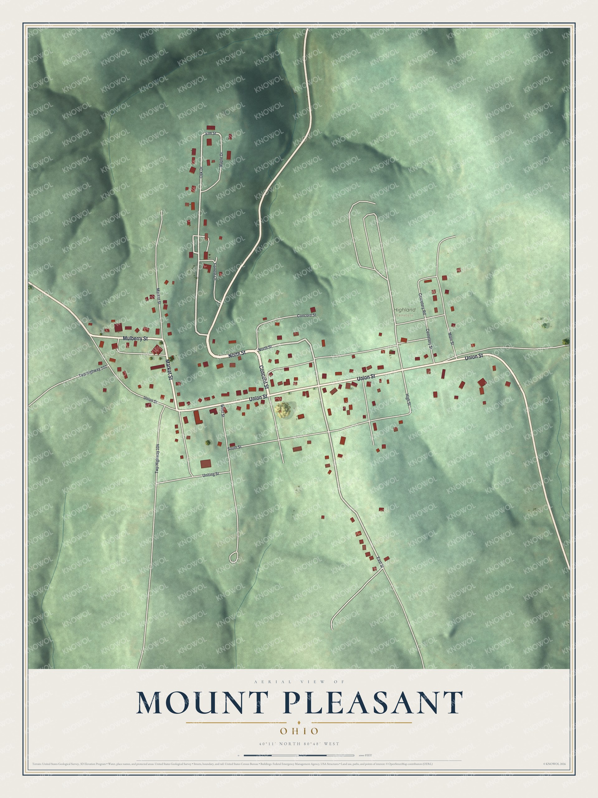
Created by KNOWOL in 2026, this print shows Mount Pleasant from above, with shaded green hills, pale roads and red buildings. The title panel says Aerial View of Mount Pleasant, Ohio, and gives the spot as 40°11' North 80°48' West.
It suits a den, a hallway or a front room. It's a good gift for someone who grew up near Union Street and moved away, or for anyone who knows the Lundy corner at Market Street. Open the preview and find your street. See sizes and frames for the Mount Pleasant map.