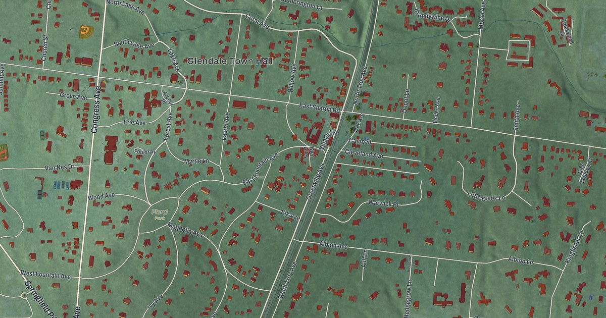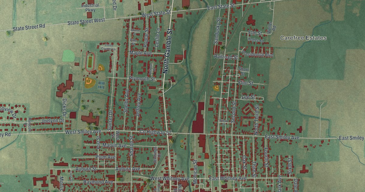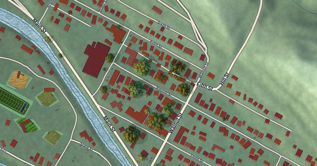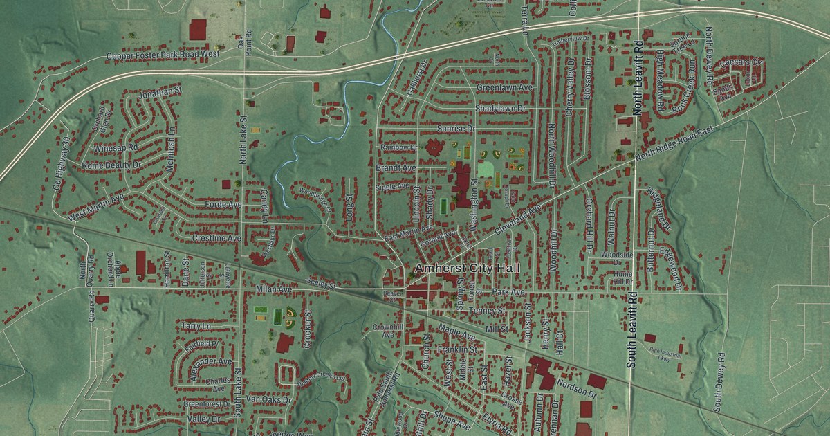
If you grew up in Amherst, walked to school on Church Street or still live off Main Street, this map has your streets on it. It's a modern aerial view of Amherst in Lorain County, Ohio, made from modern data and given a vintage look. More than 12,000 red buildings fill the sheet around Amherst City Hall. Green hills are shaded in, and a thin blue creek winds up to the top edge. Look for the streets named for apples, like McIntosh Lane, Winesap Road, Rome Beauty Drive and Braeburn Court.
Amherst Sandstone and Quarry Road
On this map you'll find North Main Street, South Main Street, Park Avenue, Church Street, Milan Avenue, Cleveland Avenue, North Leavitt Road, Middle Ridge Road, Cooper Foster Park Road, Quarry Road, Sandstone Boulevard, Amherst City Hall, Lincoln Street, Jackson Street, and more. Each red shape is a building, so zoom in on the preview and look for yours.
Why Amherst Is Called the Sandstone Center of the World
Amherst was founded in 1811. Starting in 1847, the town grew around its sandstone quarries. A state marker at City Hall on South Main Street calls Amherst the Sandstone Center of the World. The stone comes in deep reds, browns, yellows and shades of gray. It's known for being strong and long lasting. It was used across the country and around the world. The marker says Amherst is built upon a rock, and it means that two ways.
The men who ran the quarries knew their stone. An 1879 history of Lorain County says the quarry foremen were well informed and smart. Some of them were quite good geologists, too. The same book compares Amherst with Berea, another stone town. It says the whole bed of rock at Berea was only about half as thick as the one at Amherst. Today, printed roads like Quarry Road, North Quarry Road and Sandstone Boulevard carry those same words.
From Amherst City Hall to Cooper Foster Park Road
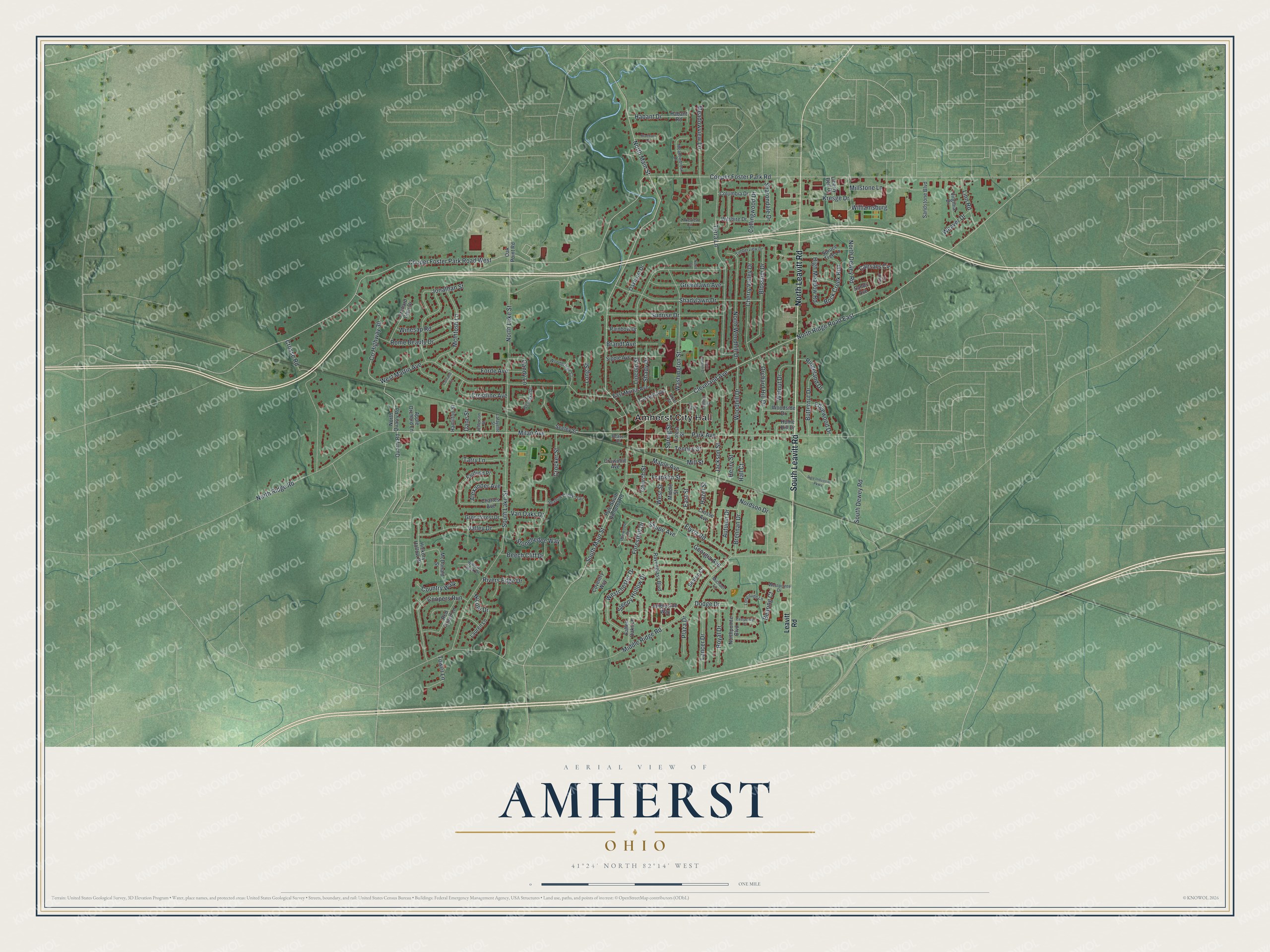
Created by KNOWOL in 2026, the print shows Amherst from above, with shaded green hills, a winding blue creek and red buildings packed along the town's streets. The title panel at the bottom reads AERIAL VIEW OF AMHERST, OHIO, with the coordinates 41°24' NORTH 82°14' WEST.
It suits a living room, a home office or the hallway by the front door. It's a good gift for someone who grew up near Amherst City Hall on South Main Street, or for a family member who moved away and still talks about home. Open the preview and find your own street. See sizes and frames for the Amherst map.