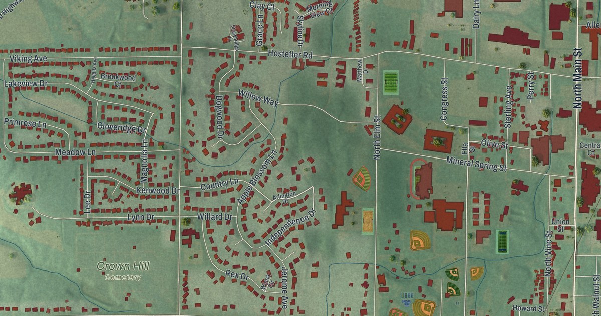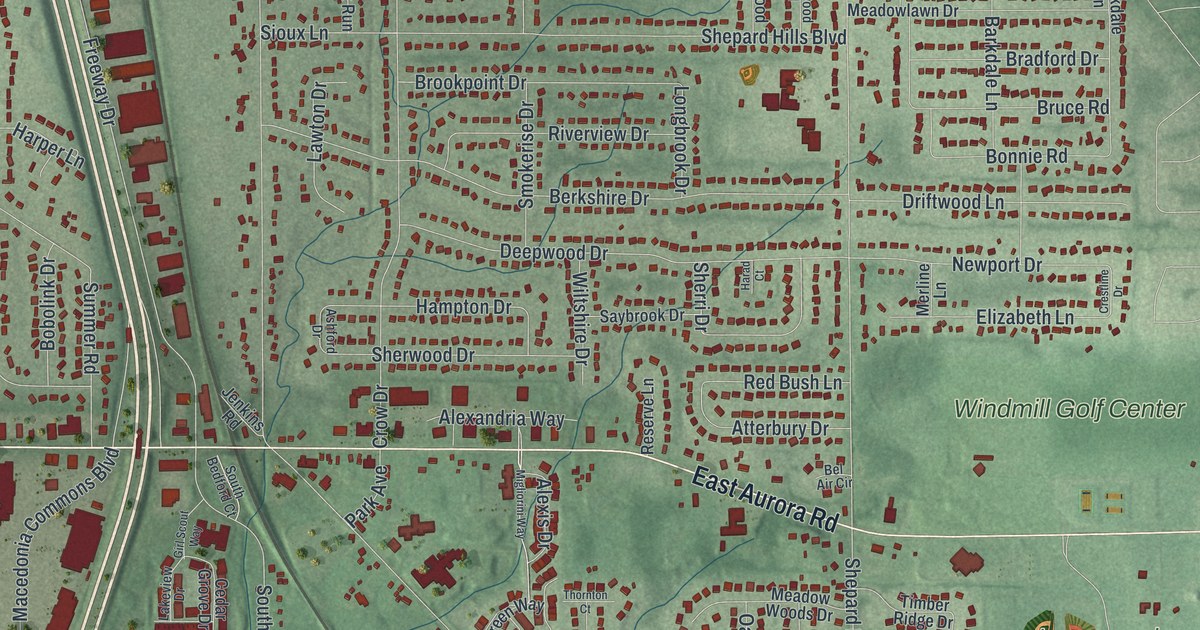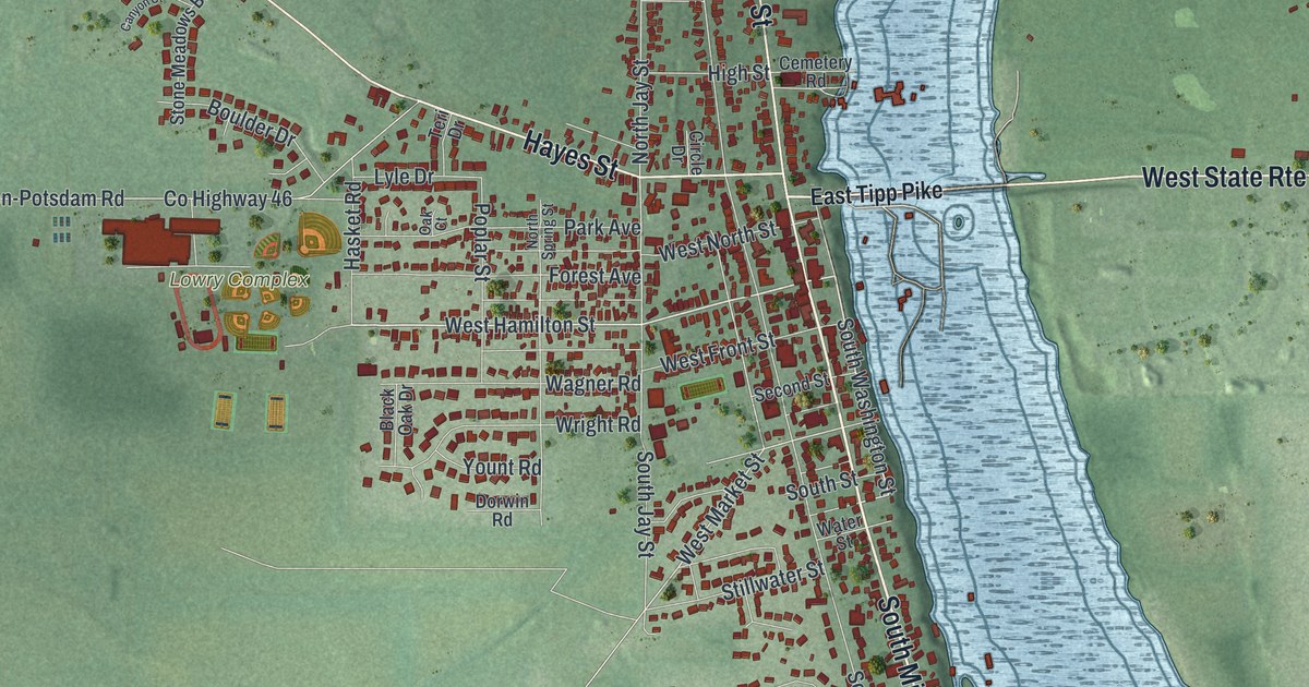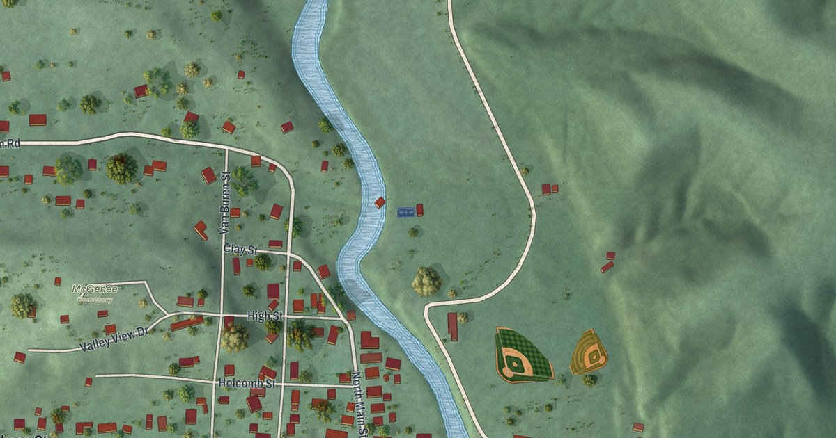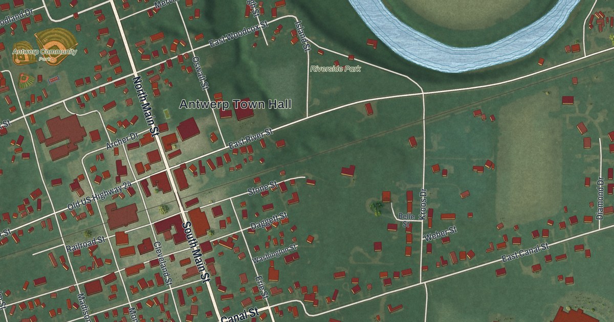
If you grew up in Antwerp, here's a way to keep your hometown close. This modern aerial view of Antwerp in Paulding County, Ohio uses modern data with a vintage feel. Red building shapes fill the town's blocks, while a blue river bends through green fields.
Canal Street and Antwerp's beginnings
On this map you'll find North Main Street, South Main Street, Antwerp Town Hall, Riverside Park, Canal Street, Erie Street, Park Avenue, Woodcox Street, East River Street, West River Street, Railroad Street, Maple Street, and more. Each red shape is a building, so zoom in on the preview and look for yours.
Antwerp's canal story starts on July 4, 1843. According to the Antwerp and Carryall Township historical marker, the Wabash and Erie Canal's completion brought new settlers. That year, W. Wilshire Riley and Samuel Rice laid out the town. Its site on the Maumee River helped make it a good place to settle.
Riley and storeowner Horatio N. Curtis had the right to choose its name. They wanted one that no other town in the country had. They chose Antwerp, after the city in Belgium. Antwerp became an incorporated town in 1863. Today, Canal Street is one printed name to pick out while reading that story. Railroad Street, also on the map, is the marker's street address.
Keep Antwerp and Riverside Park close
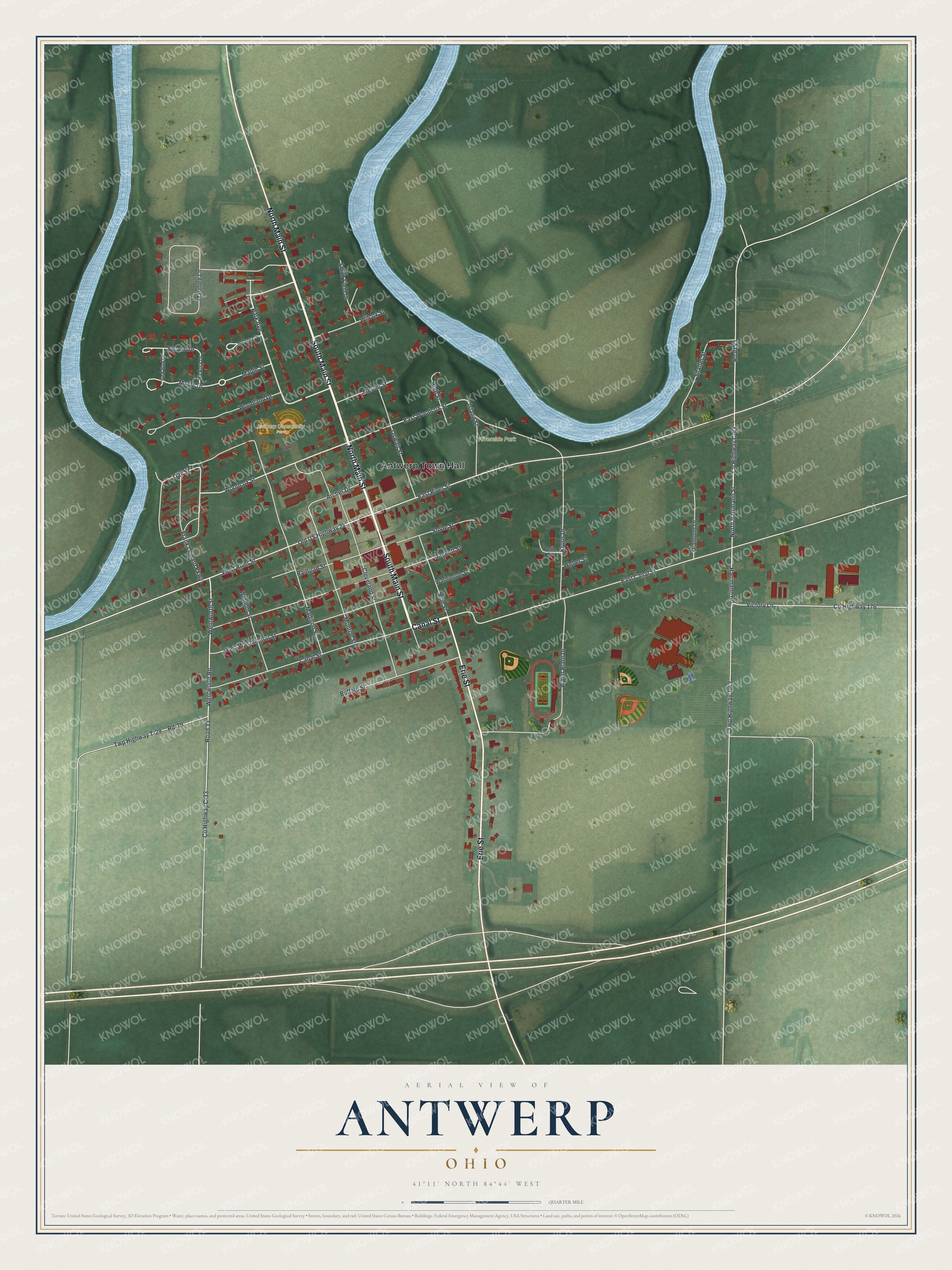
Created by KNOWOL in 2026, the print pairs green land, blue water, red buildings and pale roads with a cream border. The title panel reads AERIAL VIEW OF ANTWERP, OHIO, with 41°11' NORTH 84°44' WEST below.
Hang it in a living room, home office or entryway. It's a thoughtful gift for someone who knows Riverside Park or has moved away from Antwerp. Open the preview to find the streets you know and take a closer look at home. See sizes and frames for the Antwerp map.