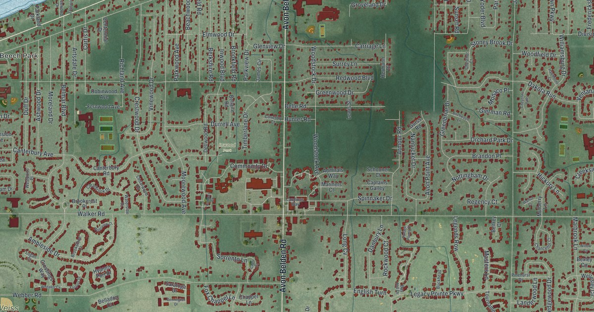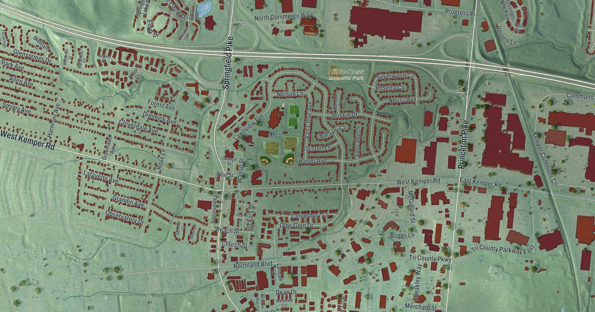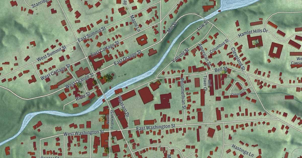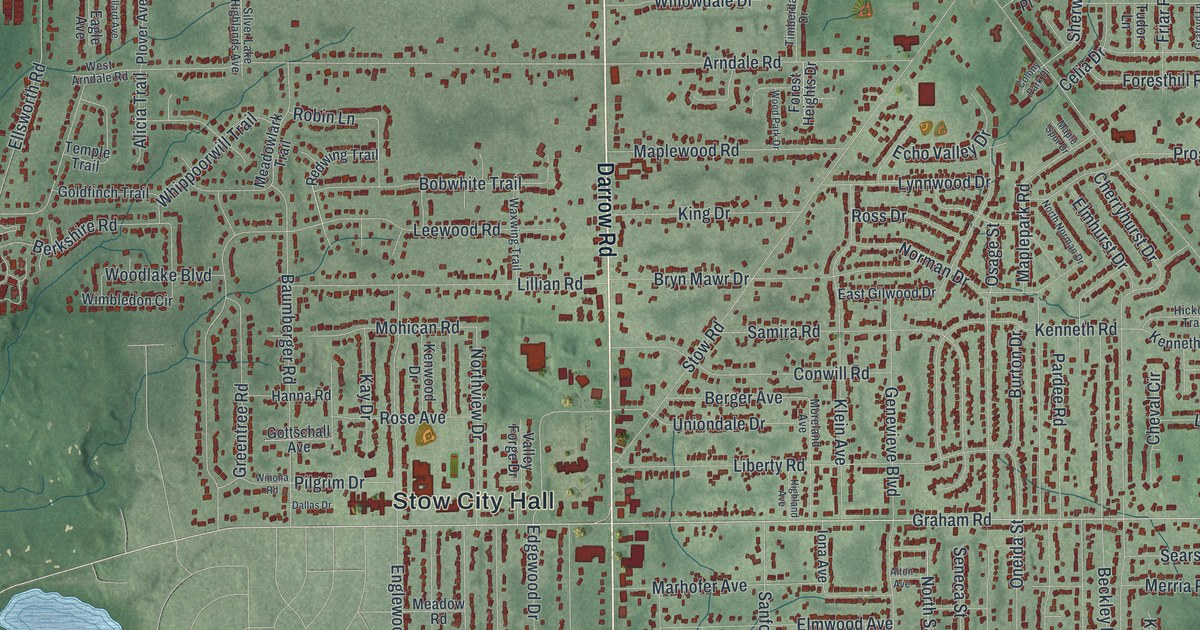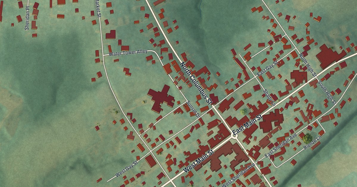
If you grew up near the Public Square in Somerset, or your family still lives on one of its old streets, this map was made for you. It's a modern aerial view of Somerset in Perry County, Ohio, drawn from modern data and given a vintage look. West Main Street and North Columbus Street cross in the middle, with red buildings packed close around the square. Green, shaded hills roll out on every side, and a ball field sits near the lower right corner.
Little Phil Sheridan grew up in Somerset
On this map you'll find West Main Street, East Main Street, North Columbus Street, South Columbus Street, North Market Street, South Market Street, West Sheridan Avenue, East Sheridan Avenue, West Gay Street, North High Street, Water Tower Alley, Max Emmert Drive, Holy Trinity Cemetery, Somerset Methodist Cemetery, and more. Each red shape is a building, so zoom in on the preview and look for yours.
Somerset's best-known son is General Philip Henry Sheridan. His family moved here when he was a child. People called him "Little Phil." Muster day in town got him interested in the military. A young West Pointer named William T. Sherman visited often, and those visits and Muster day sparked his interest in the army. He went to West Point himself. In the Civil War he fought for the Union at Stones River, Missionary Ridge, Winchester, Cedar Creek and Appomattox. In 1883 he became General of the Army, and he died in 1888. A marker stands where South Columbus Street meets Sheridan Avenue, near where his family lived.
The Sheridan statue on the Public Square
In 1905 the State of Ohio gave the village a statue of Sheridan. It shows his famous ride to Winchester, and it was made by Carl Heber of New York. Somerset's children helped pay for the granite base with a "penny fund." You can read the whole story on the Sheridan monument marker. The statue stands on the Public Square, where North Columbus Street meets West Main Street. On the map, that's the busy crossing at the center, where the red buildings sit thickest.
West Main Street and North Columbus Street on your wall
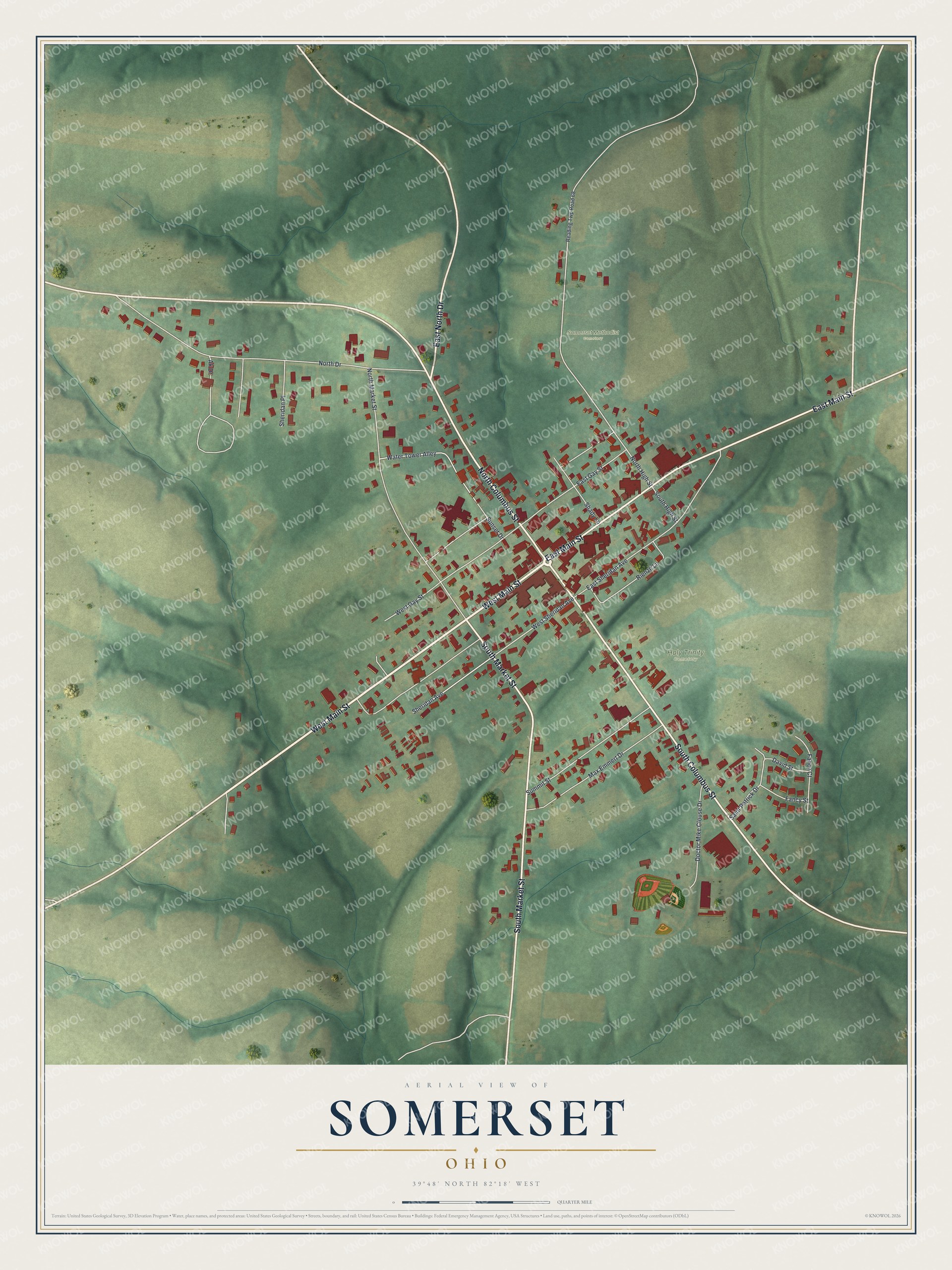
Created by KNOWOL in 2026, this print shows Somerset from above, with red buildings, pale roads and soft green hills shaded to show their shape. The title panel reads "Aerial View of Somerset, Ohio" with 39°48' North 82°18' West printed below.
It fits well in a den, a hallway or a home office. It's a good gift for a Holy Trinity School graduate, or for anyone who moved away and still thinks of the statue on the square. Open the preview and find your street. See sizes and frames for the Somerset map.