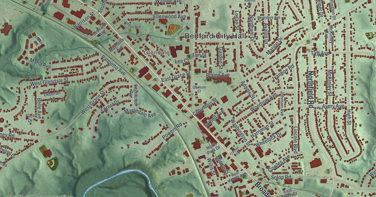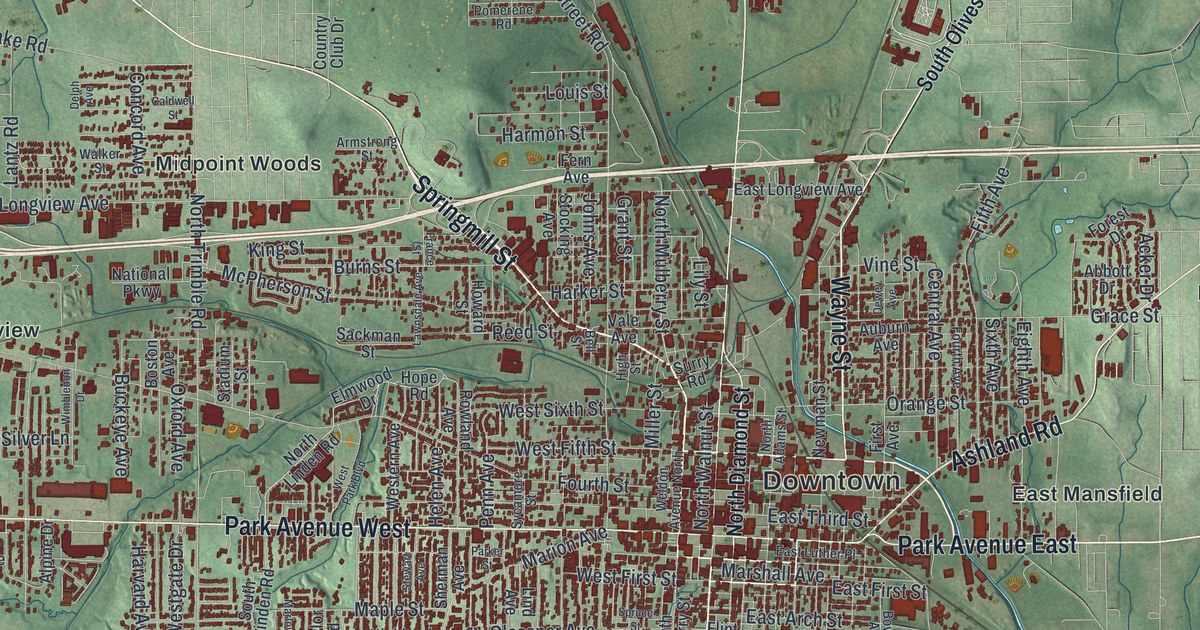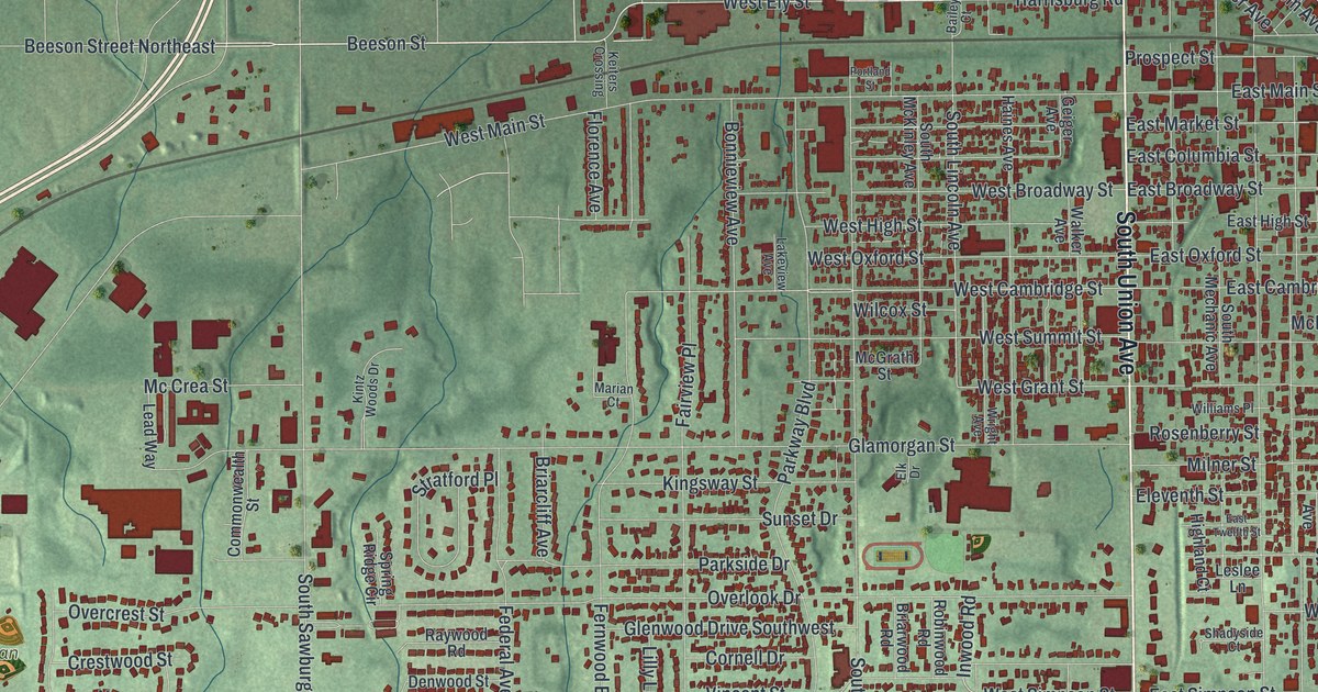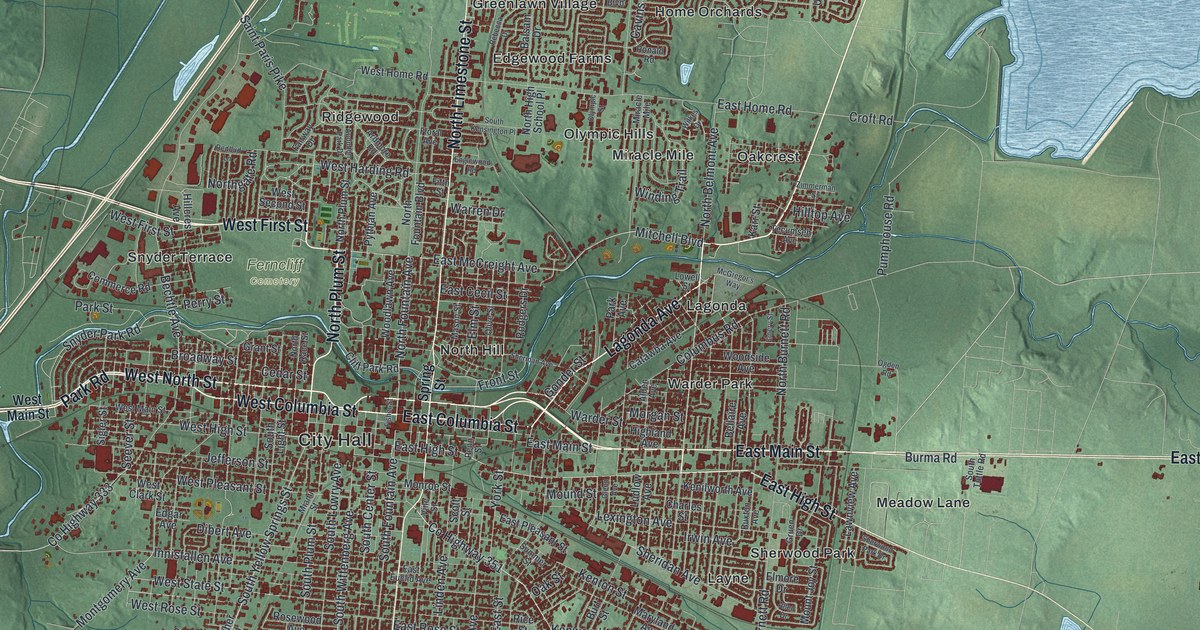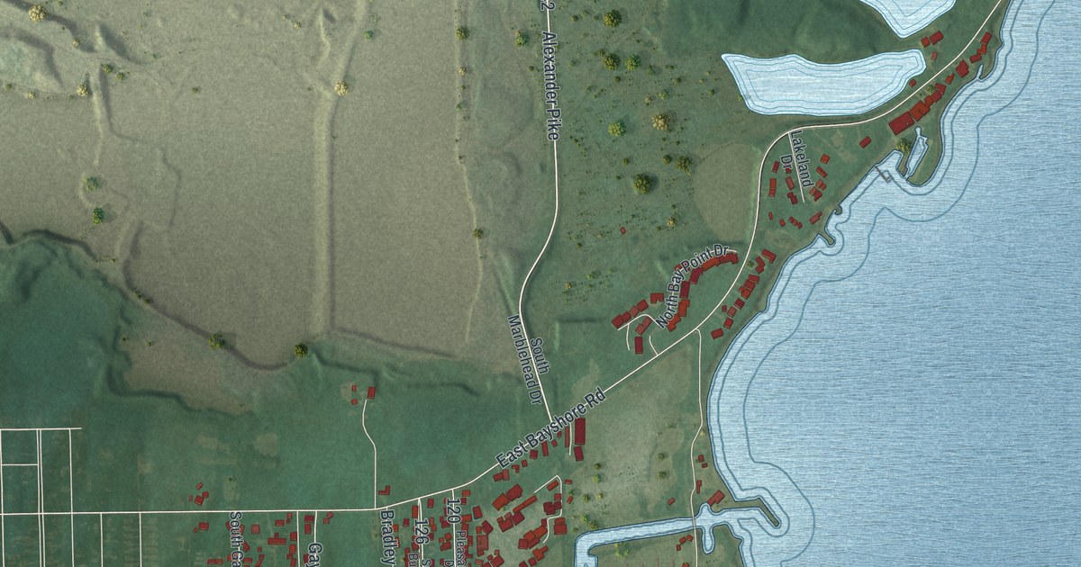
If you grew up in Marblehead, spend summers on the peninsula, or have family out on Johnson's Island or Bay Point, this map gives you plenty to find. It's a modern aerial view of Marblehead in Ottawa County, Ohio, made from modern data and given a vintage artistic feel. Lake Erie wraps the sheet in soft blue on three sides. The village's red blocks line the north shore around Marblehead Village Hall. Down south, a causeway reaches out to a round island, and a long, thin point of land runs beside it.
Marblehead Village Hall, Alexander Pike and East Bayshore Road
Start at Marblehead Village Hall, near the top of the map. Prairie Street runs west from the hall. It crosses James Street and Perry Street on its way to Harsh Road. Just below the village, East Harbor Road and West Main Street cross the top of the sheet. Head east and East Main Street carries on around the shore, then bends south down the right side. Inland from it, three pale blue ponds sit inside the Lakeside Daisy State Nature Preserve.
Now go back to the village and take Alexander Pike south. It runs down the middle of the map to East Bayshore Road on the south shore. Turn west, then follow Gaydos Drive down to the Johnson Island Causeway. It crosses the bay to the island at the bottom. From 1861 to 1865, the U.S. Army ran a prison camp there for captured Confederate officers. Today Memorial Shoreway Drive and Confederate Drive loop past the island's homes. East of the causeway, Bay Point Boulevard runs down the long point. Many of the roads are labeled, and each red shape is a building, so zoom in on the preview and look for yours.
How the Marblehead Lighthouse was built in 1821
Marblehead Lighthouse stands at the northeast tip of the peninsula, where East Main Street follows the shore. It was built in 1821 and was first called the Sandusky Bay Light Station. William Kelly won the contract. He used local limestone and finished it in eight weeks. The tower stood 50 feet high. Its lamps burned whale oil at first, then lard oil and kerosene. Electric light came in 1923. The state historical marker at the lighthouse calls it the oldest lighthouse in continuous operation on the Great Lakes.
The first keeper was Benajah Wolcott. He tended the light from 1822 until he died ten years later. The government then named his wife, Rachel Miller Wolcott, as keeper. That made her the first woman to keep a lighthouse on the Great Lakes. Their limestone home from 1822 still stands on East Bayshore Road. It's the oldest known house left in Ottawa County. Back in the village, Holy Assumption Orthodox Church sits on East Main Street. It was built in 1905 and 1906 and is thought to be the oldest Orthodox church building in Ohio. Tsar Nicholas II of Russia gave the four icons on its icon screen.
For anyone who knows East Main Street and the lake
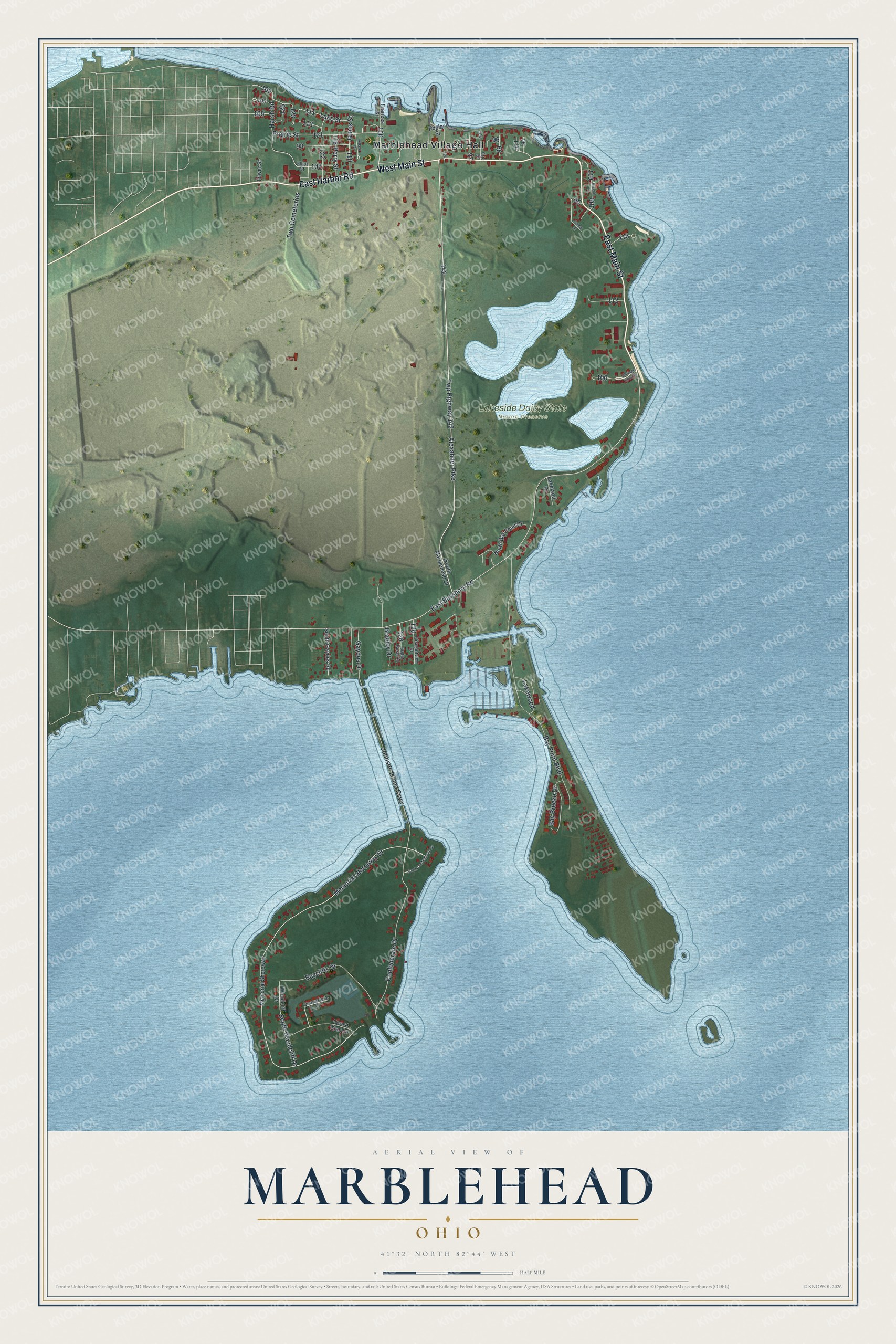
Created by KNOWOL in 2026, this Marblehead map shows Lake Erie in soft blue and the land in shaded green from USGS elevation data. The roads come from Census Bureau records, and more than 2,500 buildings are drawn in deep red. The title panel reads "Aerial View of Marblehead, Ohio" with 41°32' North 82°44' West and a half-mile scale bar.
It suits a lake cottage, a den or a kitchen wall. It's a good gift for someone who grew up within sight of the Marblehead Lighthouse, or for a family that has spent summers on Johnson's Island. Open the preview, zoom in near Village Hall and find a road you know. See sizes and frames for the Marblehead map.