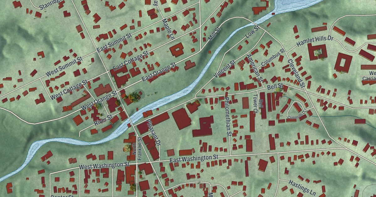
If you grew up walking North Main Street to see the falls, this map is for you. It's a modern aerial view of Chagrin Falls in Cuyahoga County, Ohio, made from modern data and given a vintage feel. A blue river winds through the middle of the village. The downtown blocks sit close together on both banks, and green hills rise all around. Up in the northeast corner, two small lakes shine blue in the woods.
The High Falls on North Main Street
On this map you'll find North Main Street, South Main Street, East Washington Street, West Washington Street, East Orange Street, Bell Street, Cleveland Street, North Franklin Street, River Street, Water Street, Robert Tomaro Way, Chagrin Boulevard, Solon Road, River Run Park, Whitesburg Nature Preserve, and more. Each red shape is a building, so zoom in on the preview and look for yours.
How the Falls Built a Mill Town
The Chagrin River drops over a falls right in the heart of the village. Settlers from New England came here around 1833. They wanted a place with plenty of water to run their mills, says the Ohio History Connection marker by the falls. A gristmill went up at the High Falls in 1836. By the mid-1800s, the riverbanks held an axe factory and a foundry. There were two flour mills, four woolen mills and two sawmills. There were also three paper mills and a factory that made wooden ware. Today, only one factory still runs in the village.
The river's name is older than the town. The marker says it was named for Francois Seguin. He was a French trader who dealt with Native Americans in Northeast Ohio around 1742. To find the falls on the map, look for where North Main Street meets Bell Street beside the river. The marker hangs by the stairs down to the water.
Some of that mill past still stands. The Adams Bag Company Paper Mill and Sack Factory on Cleveland Street is on the National Register of Historic Places. So is the Chagrin Falls Township Hall on North Main Street, just up from the falls.
Chagrin Falls, From River Run Park to Whitesburg
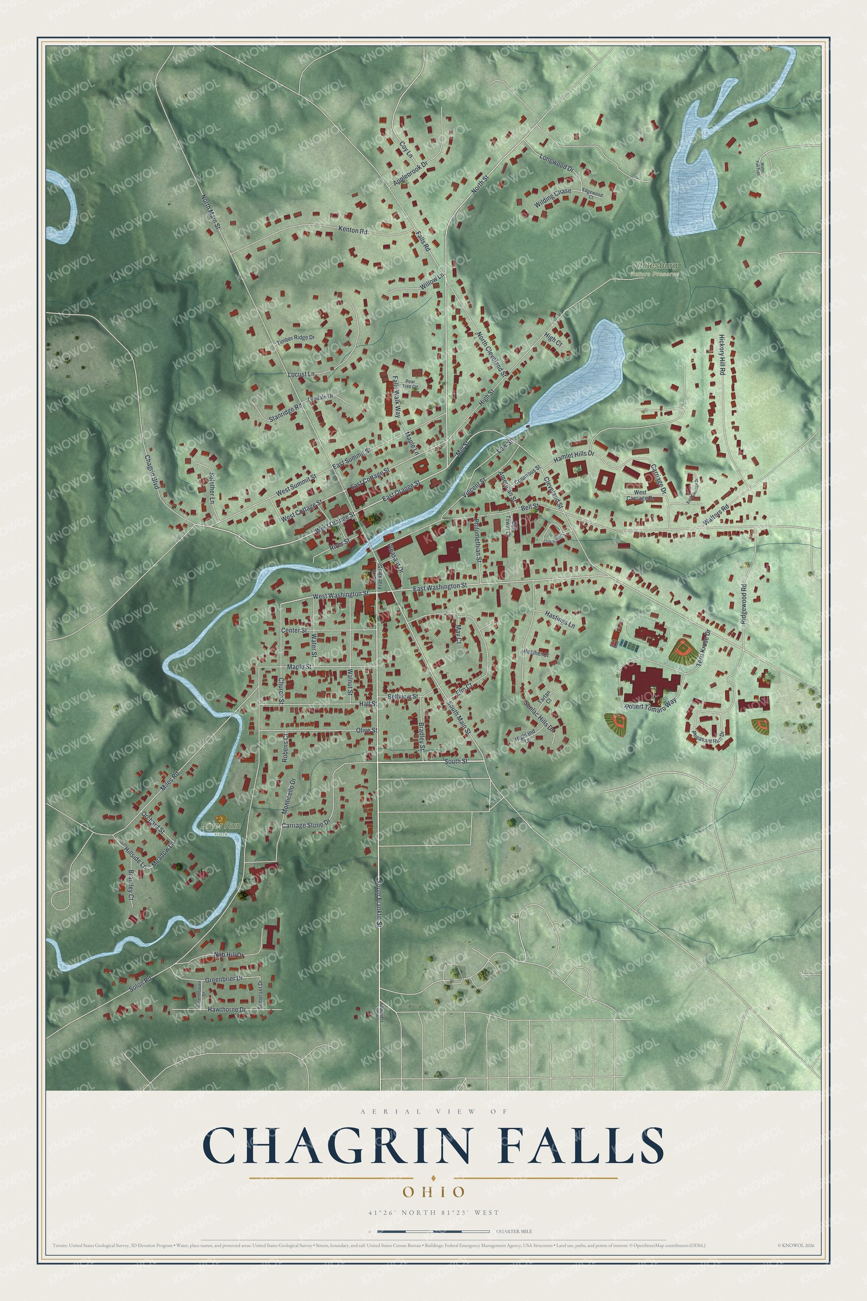
Created by KNOWOL in 2026, this print shows Chagrin Falls from above in soft green hills, with red buildings and a winding blue river. The title panel reads "Aerial View of Chagrin Falls, Ohio" with the coordinates 41°26' North 81°23' West.
It fits a living room, a home office or a front hall. It makes a good gift for anyone who stood by the falls on North Main Street as a kid, or who moved away and still misses the village. Open the preview and find your own street. See sizes and frames for the Chagrin Falls map.