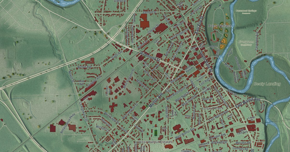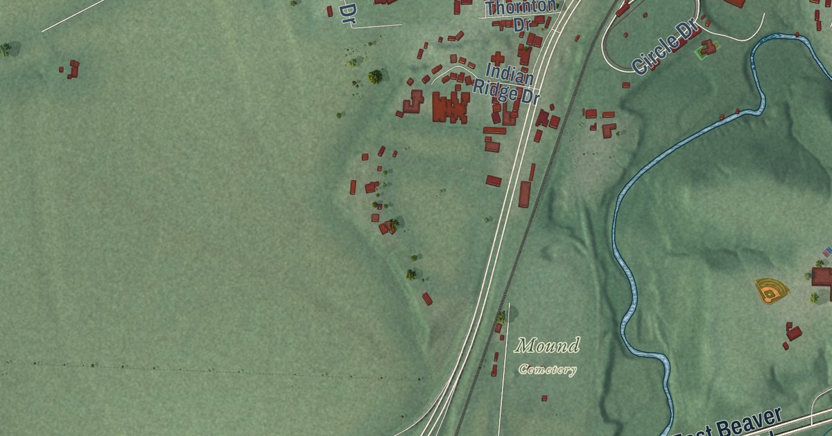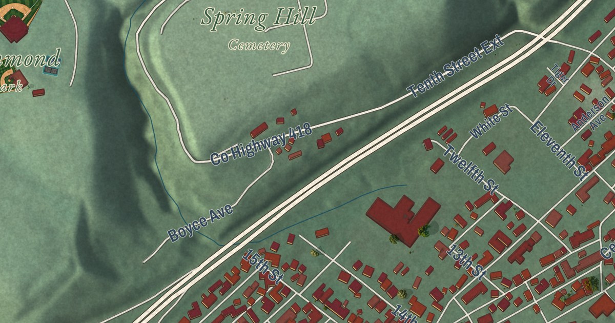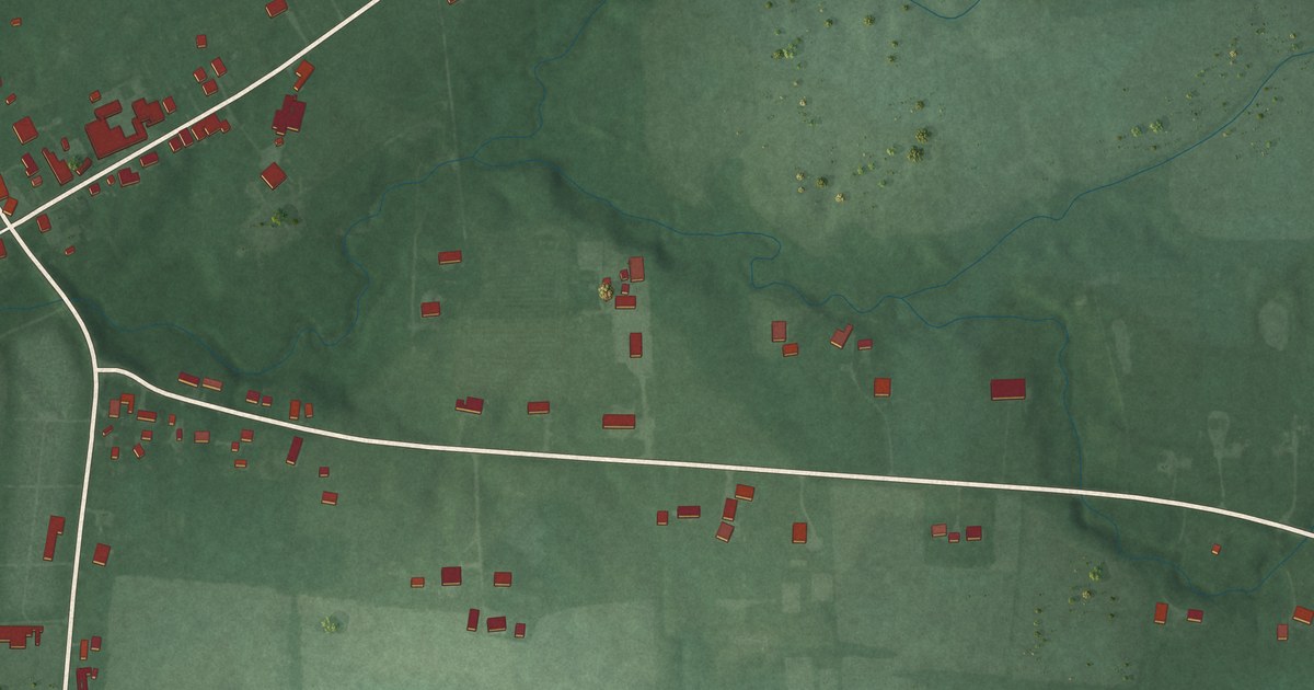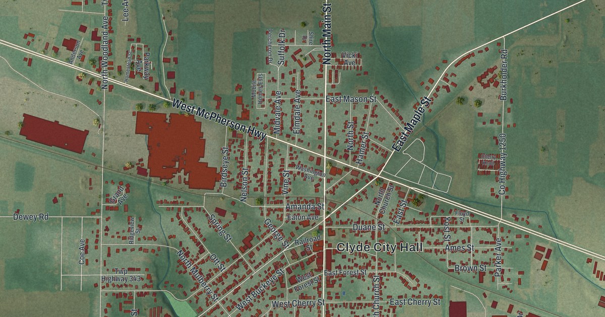
This beautifully detailed map of Clyde, Ohio was created in 2026 using aerial imagery combined with modern topographical, census, street and landmark data. It’s a one-of-a-kind view of Clyde that combines accurate data with a vintage aesthetic. The map shows every building in its true location, many of the roads carry their names, and the shaded topographic relief shows the shape of the land.
Explore an aerial view of Clyde, Ohio
On the map you’ll find Clyde City Hall, along with North Main Street, South Main Street, East McPherson Highway, West McPherson Highway, East Maple Street, West Maple Street, County Highway 179, Spring Street, Twp Highway 246, Limerick Road, North Woodland Avenue, and more. If you look closely you can even find your house accurately drawn in its correct location. Zoom in on the preview to look for yours.
Did you know this piece of Clyde, Ohio history?
During the War of 1812, Samuel Pogue drove a stake near a spring here, planning to settle once peace came. He returned in 1820 and found that Jesse Benton had already put up a cabin there. Benton handed over his claim in exchange for a barrel of whiskey. He stayed in the cabin until his death in 1828.
Take a closer look at the Clyde map
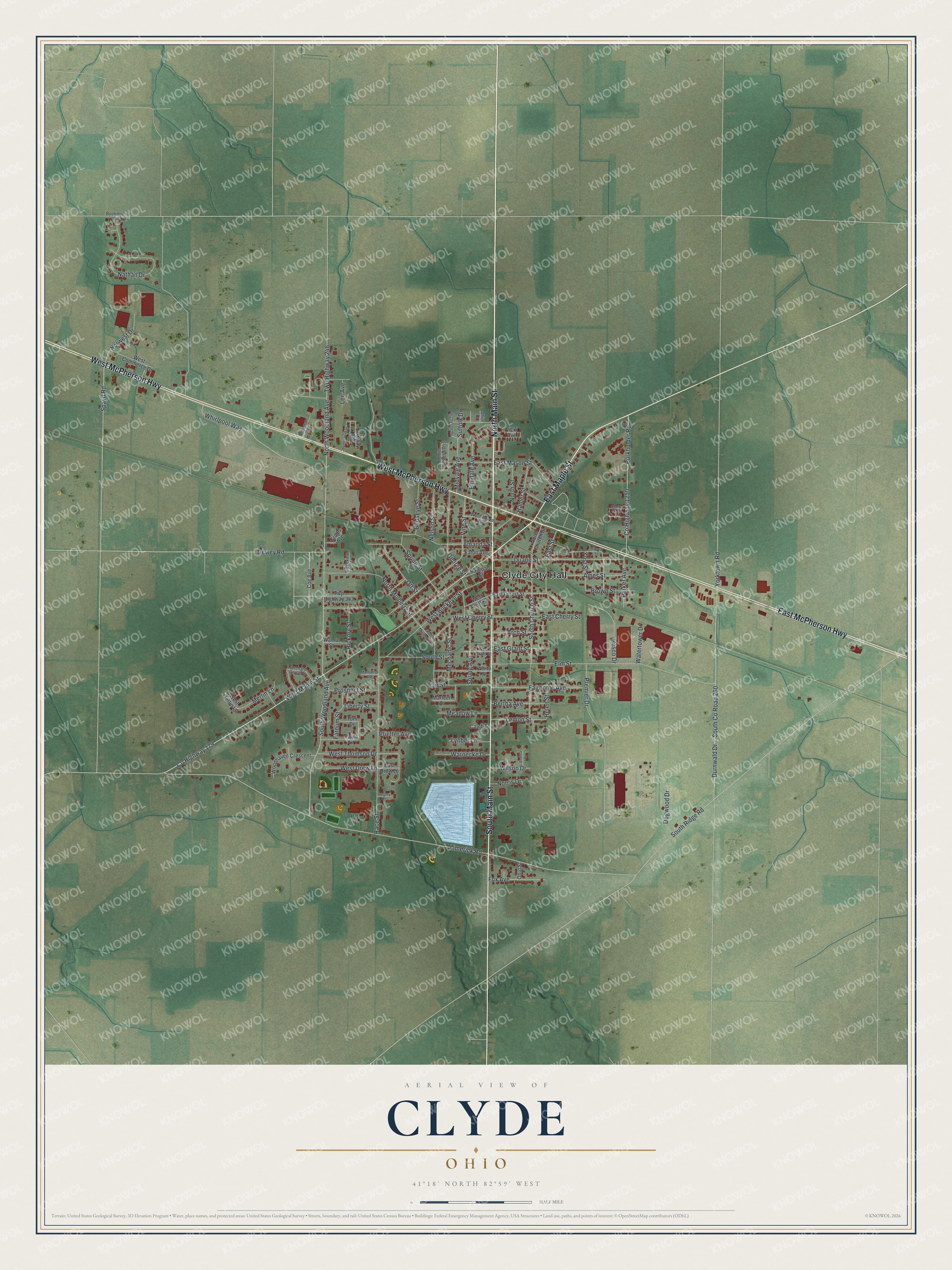
Street and place names on the Clyde, Ohio map
These names are printed on the map of Clyde, Ohio.
Places: Clyde City Hall.
Streets and roads: North Main Street, South Main Street, East McPherson Highway, West McPherson Highway, East Maple Street, West Maple Street, County Highway 179, Spring Street, Twp Highway 246, Limerick Road, North Woodland Avenue, South County Road 260.
More street names, A to Z
Amanda Street, Ames Street, Anderson Avenue, Andrea Drive, Arch Street, Bertha Avenue, Birdseye Street, Bookmyer Road, Brown Street, Burkholder Road, Caleb Street, Cherry Knoll, Coe Avenue, County Highway 1250, Dewey Road, Dogwood Drive, Duane Street, Durnwald Drive, East Cherry Street, East Drew Lane, East Forest Street, East Grant Street, East Mason Street, East Street, Eaton Avenue, Elmdale Avenue, Elm Street, Fairhome Avenue, Fair Street, Farnum Street, Floyd Street, Fox Avenue, George Street, Grand Avenue, Gregory Court, Hamer Street, Helen Street, Hickory Street, Homestead Street, Lee Avenue, Lemon Street, Liberty Street, Lynber Lane, Manhattan Avenue, Marleen Drive, Meadow Lane, Mechanic Street, Merlin Lane, Midvale Avenue, Mobile Homes Ests, Nathan Drive, Nelson Street, Norris Drive, North Church Street, North Mulberry Street, North Street, Norwest Drive, Ohio Street, Orchard Grove Drive, Ott Street, Parker Avenue, Parkway Avenue, Paula Drive, Percheron Drive, Pfieffer Avenue, Premier Drive, Prospect Street, Race Street, Railroad Street, Resco Drive, Ridgeview Street, Shire Drive, South Church Street, South Mulberry Street, South Ridge Road, South Street, South Woodland Avenue, Spayd Road, Spring Avenue, Suffolk Drive, Toni Drive, Twp Highway 343, Vicki Avenue, Vine Street, Walnut Street, Warnecke Drive, Washington Avenue, Watertower Drive, West Buckeye Street, West Cherry Street, West Commerce Drive, West Drew Lane, West Forest Street, West Grant Street, West Merlin Lane, West Thomson Drive, Whirlpool Way, White Street, Wilson Drive, Woodhaven Crescent, Yorktown Road, Yost Street.
See the Clyde, Ohio map on a wall
The Clyde map as an 18 x 24 inch print in a black frame.

This beautifully detailed map of Clyde makes an attractive addition to your office, library, or den, and it can even be used to teach children the geography and history of the area. It also makes a great gift for anyone who grew up in Clyde or moved away. When you’re done exploring, click here to get your copy of the Clyde map.