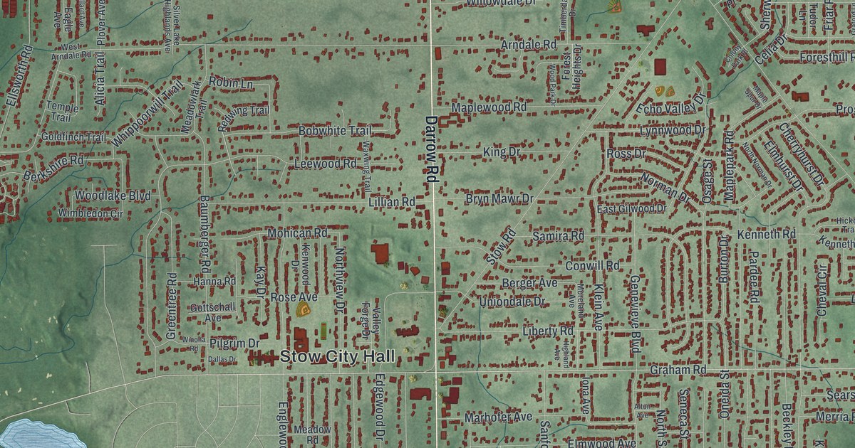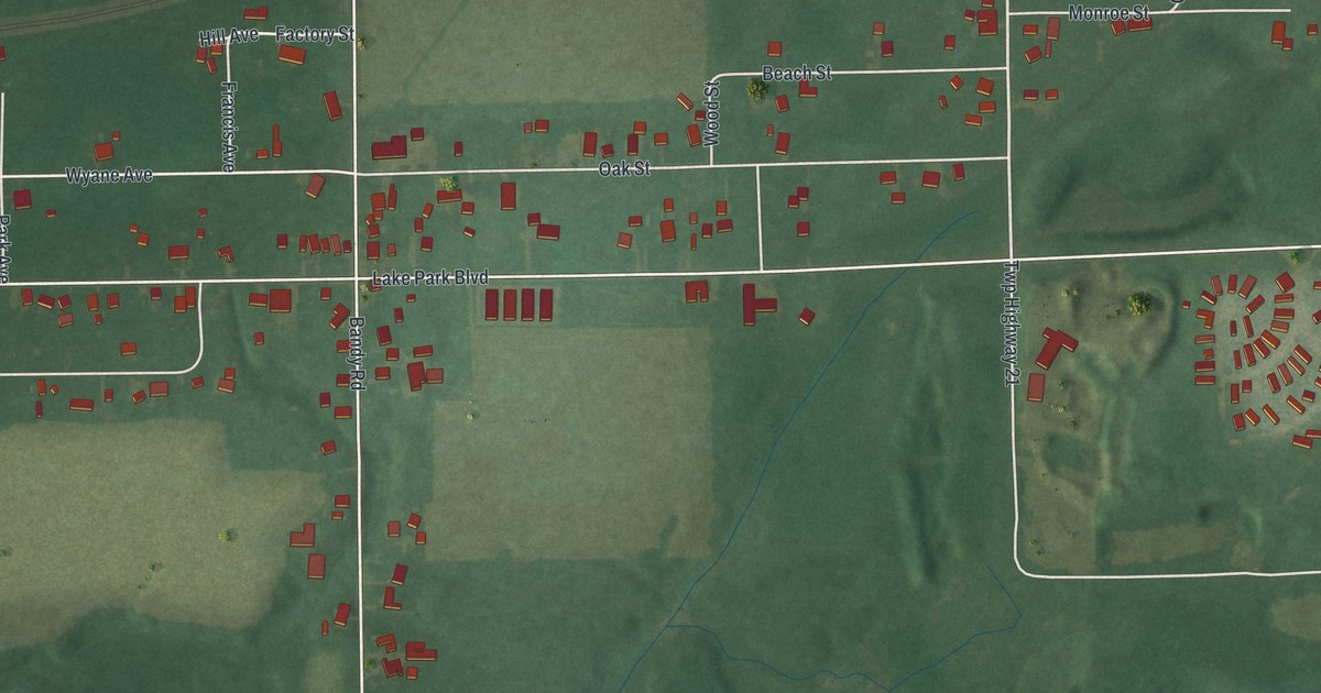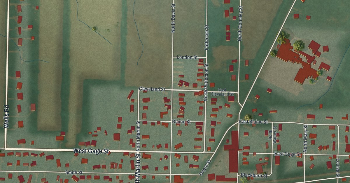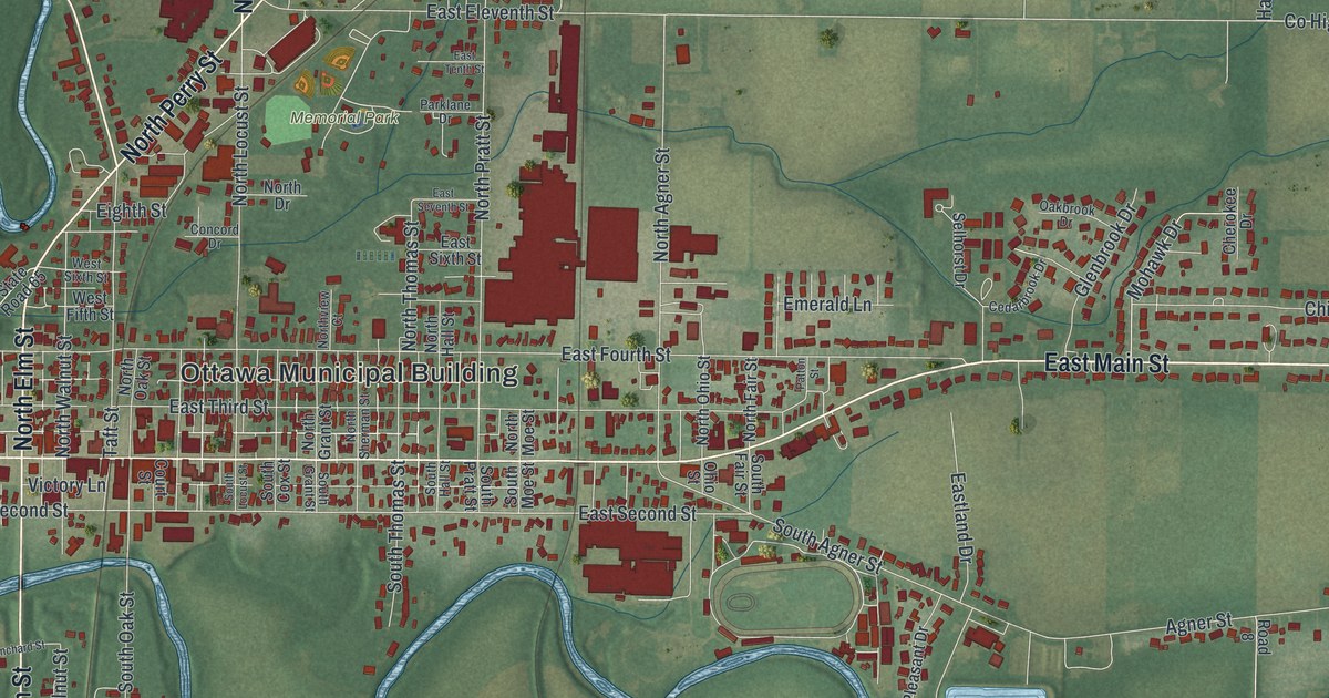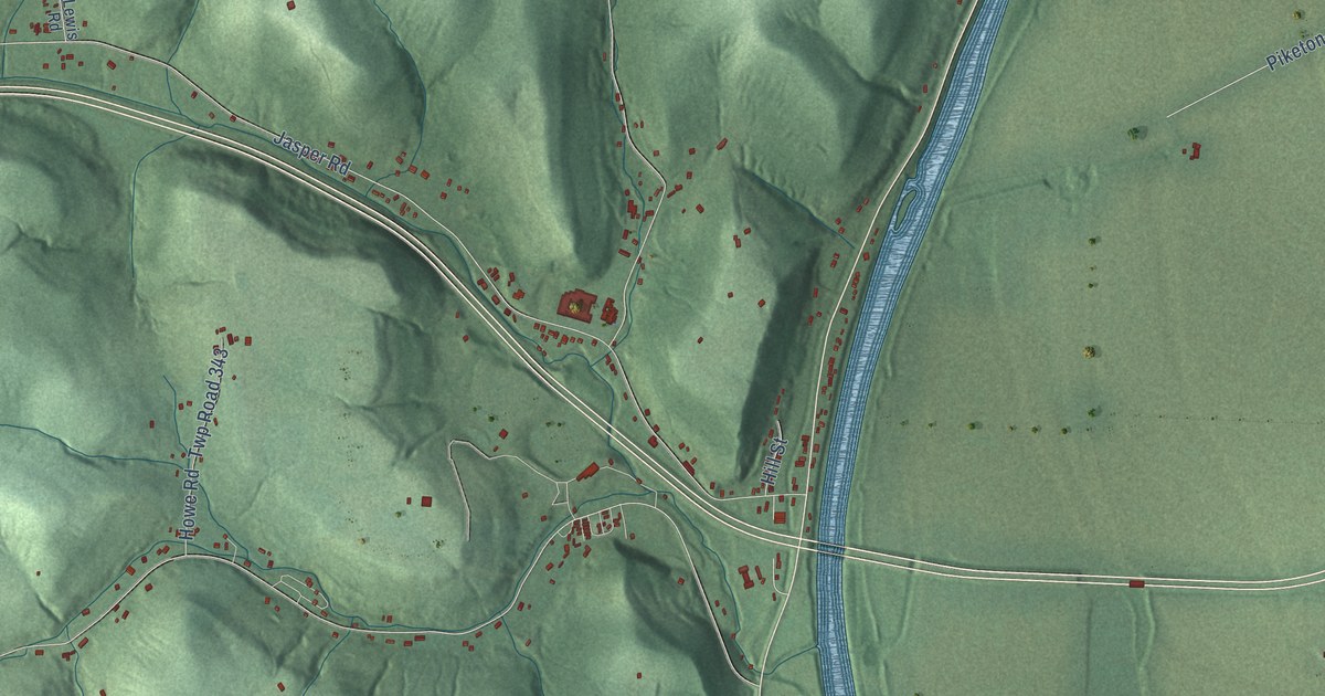
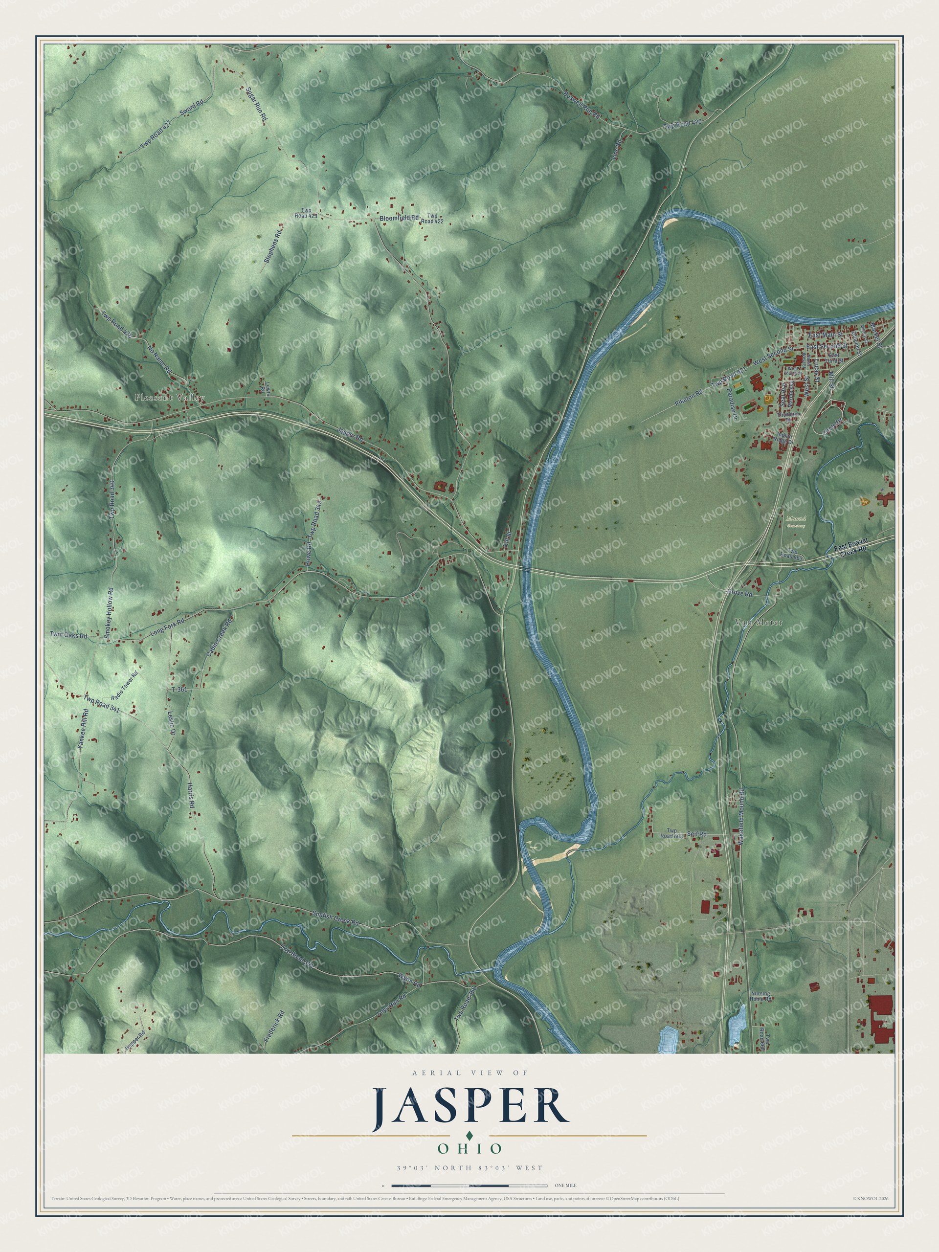
This beautifully detailed map of Jasper, Ohio was created in 2026 using aerial imagery combined with modern topographical, census, street and landmark data. It’s a one-of-a-kind view of Jasper that combines accurate data with a vintage aesthetic. The map shows every building in its true location, many of the roads carry their names, and the shaded topographic relief shows the shape of the land.
Explore an aerial view of Jasper, Ohio
On the map you’ll find Pleasant Valley, Van Meter, and Mound Cemetery, along with Circle Drive, Mill Street, Grove Road, Wakefield Mound Road, East Second Street, West Second Street, Long Fork Road, Sugar Run Road, Jasper Road, and more. If you look closely you can even find your house accurately drawn in its correct location. Zoom in on the preview to look for yours.
Did You Know?
From Internet Archive: "Jasper and Christian Gunn, who emigrated from the highlands of Scotland in 1635, crossing the Atlantic in the ship Defence, and settled at Roxbury, Conn., twelve years later removing to Hartford, Conn., where Jasper Gunn died June 12th, 1671."
Jasper is a community in Pike County.
Take a closer look at the Jasper map
Names on this map
These names are printed on this map.
Places: Pleasant Valley, Van Meter and Mound Cemetery.
Streets and roads: Circle Drive, Mill Street, Grove Road, Wakefield Mound Road, East Second Street, West Second Street, Long Fork Road, Sugar Run Road, Jasper Road, Sunfish Creek Road, Twp Road 344, Wynn Road.
More street names, A to Z
Bloomfield Road, Boswell Run Road, Cabin Creek Road, East Beaver Creek Road, East Main Street, East Third Street, Frederick Road, Harris Road, Hill Street, Hopper Road, Howe Road, Indian Ridge Drive, Leslie Drive, Lewis Road, Line Road, Loys Run Road, Lucas Street, Market Street, Marple Avenue, Middle Street, No Name Road, North West Street, Nursing Home Road, Paradise Drive, Piketon Road, Radio Tower Road, Seal Avenue, Seif Road, Smokey Hollow Road, Stephens Road, Sword Road, T-361, Thornton Drive, Twin Oaks Road, Twp Road 340, Twp Road 341, Twp Road 343, Twp Road 356, Twp Road 420, Twp Road 422, Twp Road 423, Twp Road 426, Twp Road 427, Twp Road 603, Twp Road 621, Twp Road 663, Twp Road 668, West Fourth Street, West Street, Yankee Hill Road, Zebulon Street.
See it on a wall
The Jasper map as a framed print. Swipe for more.


This beautifully detailed map of Jasper makes an attractive addition to your office, library, or den, and it can even be used to teach children the geography and history of the area. It also makes a great gift for anyone with Jasper roots. When you’re done exploring, click here to get your copy of the Jasper map.