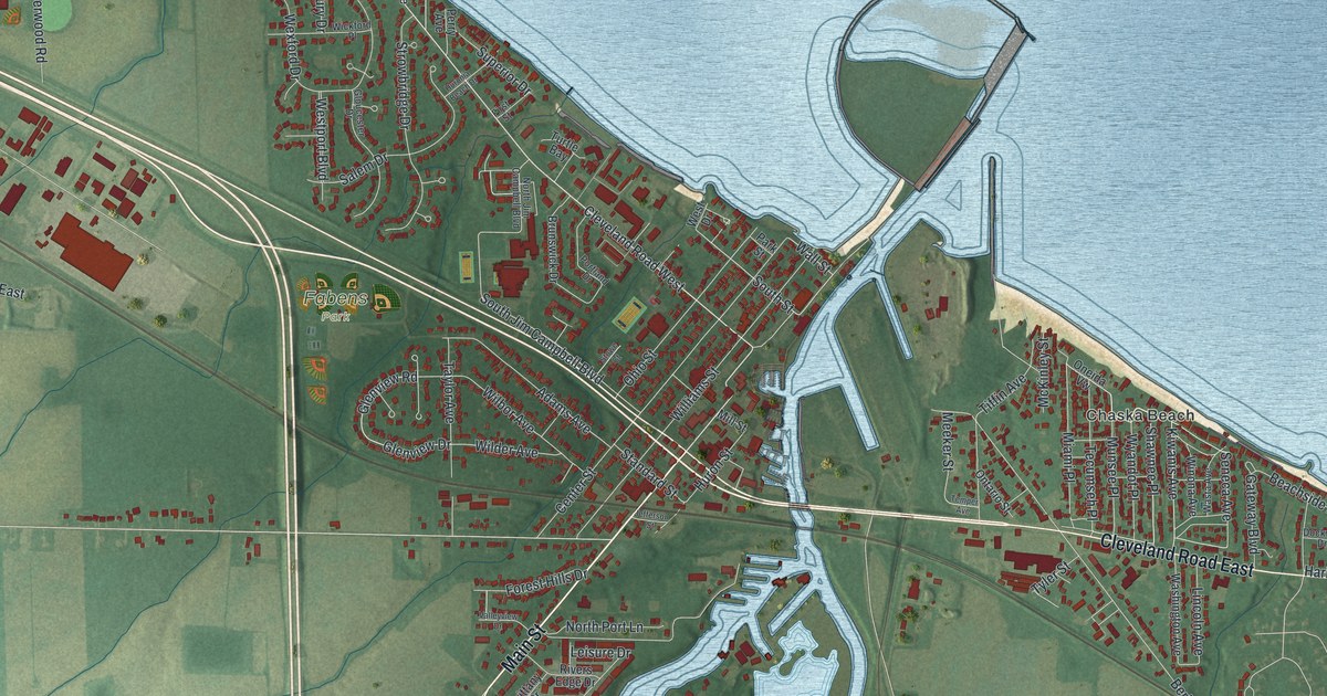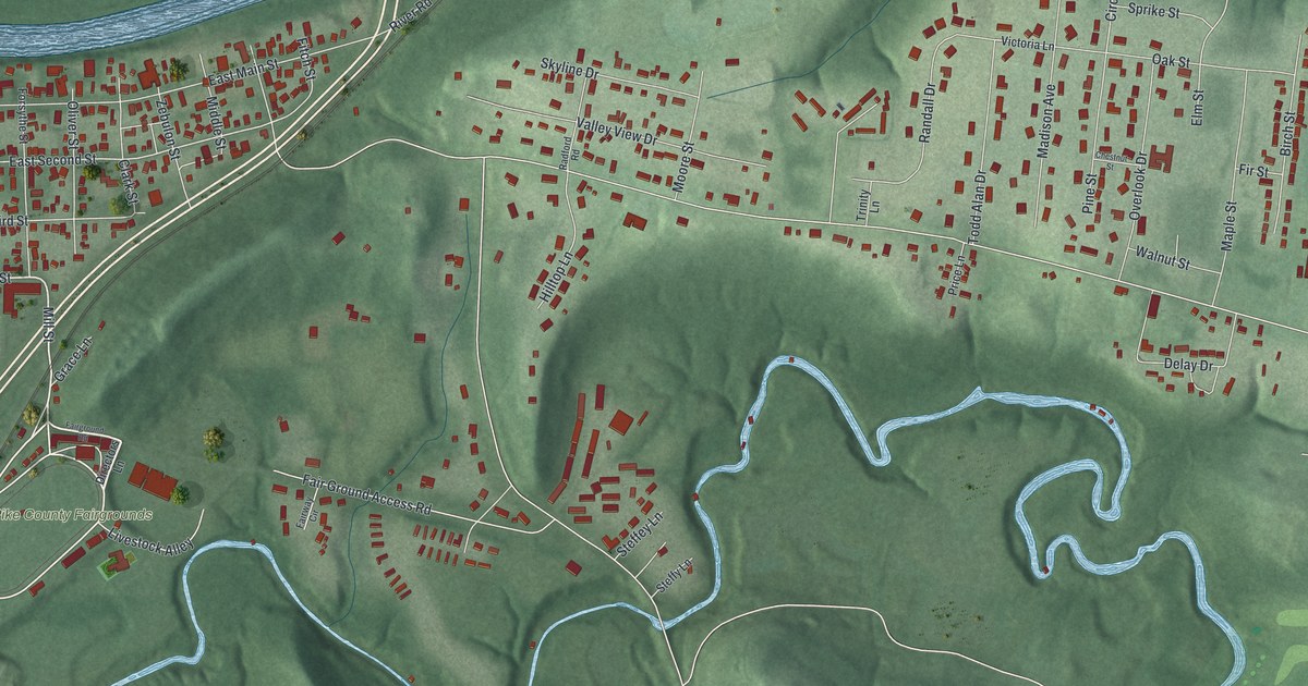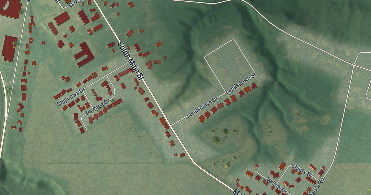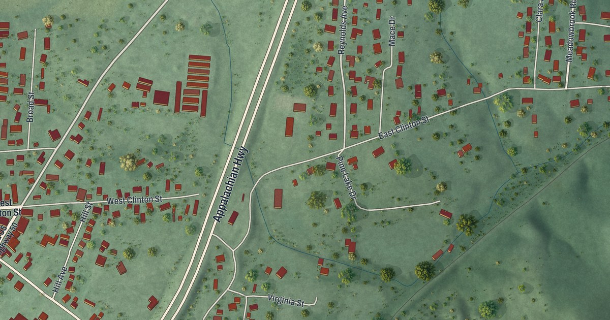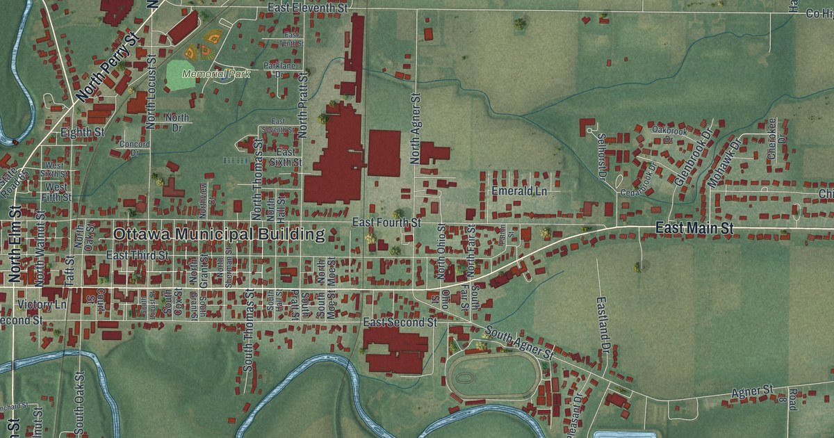
If you grew up in Ottawa or still have family near Main Street, this map was made with you in mind. It's a modern aerial view of Ottawa in Putnam County, Ohio, built from modern map data and given a vintage look. You'll see the tight grid of streets around the Ottawa Municipal Building, with Memorial Park just to the north. A winding blue river loops below Main Street. Green farm fields fill the edges of the sheet.
The Ottawa villages on the Blanchard River
On this map you'll find West Main Street, East Main Street, North Perry Street, South Perry Street, North Defiance Street, North Locust Street, South Walnut Street, Court Street, Blanchard Street, Sugar Mill Drive, the Ottawa Municipal Building, Memorial Park, Arrowhead Park, and more. Each red shape is a building, so zoom in on the preview and look for yours.
Long before these streets were laid out, this was Ottawa land. An Ohio historical marker in town says the Ottawa, or Tawa, people lived in the Maumee Valley from the middle of the 1700s. By the 1790s, they had villages along the Blanchard River. Those villages stood right where the village of Ottawa is today. Look for the blue river bending through town on the map.
The 1817 Ottawa reserve
During the War of 1812, the Ottawa aided British forces, and Colonel James Findlay destroyed their villages. In 1817, the United States set aside a reserve for the Ottawa. It was traded for their lands in northwest Ohio. The reserve covered a five-mile square. Its center was where the Blanchard River met an old Indian trace, near what is now Old State Route 65. The marker stands at Lord's Park, on the corner of West Main Street and South Walnut Street.
From Memorial Park to East Main Street

Created by KNOWOL in 2026. The print shows soft green fields, red buildings, fine white street lines and a winding blue river. The title panel reads "Aerial View of Ottawa, Ohio" with the coordinates 41°01' North 84°03' West.
It fits a living room, a front hall or a home office. Frances Rappaport Horwich was born in Ottawa in 1907 and graduated from Ottawa High School in 1924. It's a good gift for an Ottawa High School grad, a family on Main Street, or anyone from Putnam County who moved away. Open the preview and look for the streets you know. See sizes and frames for the Ottawa map.