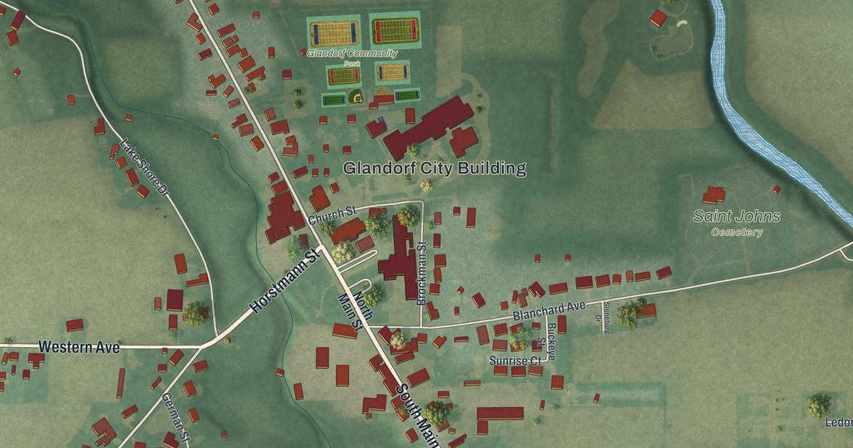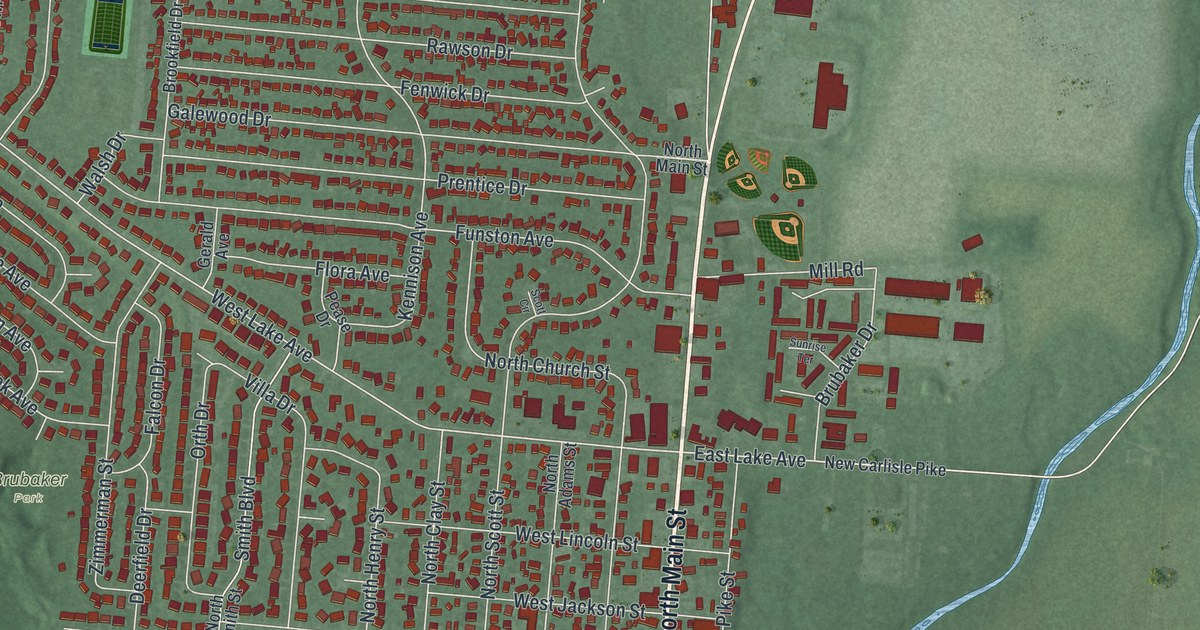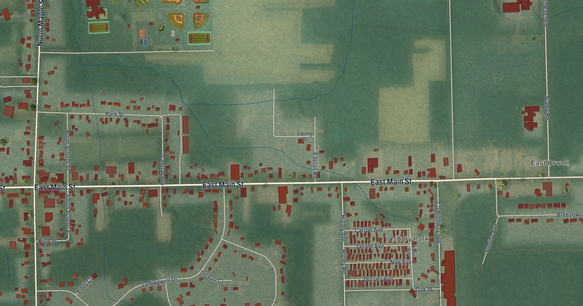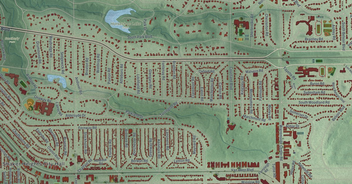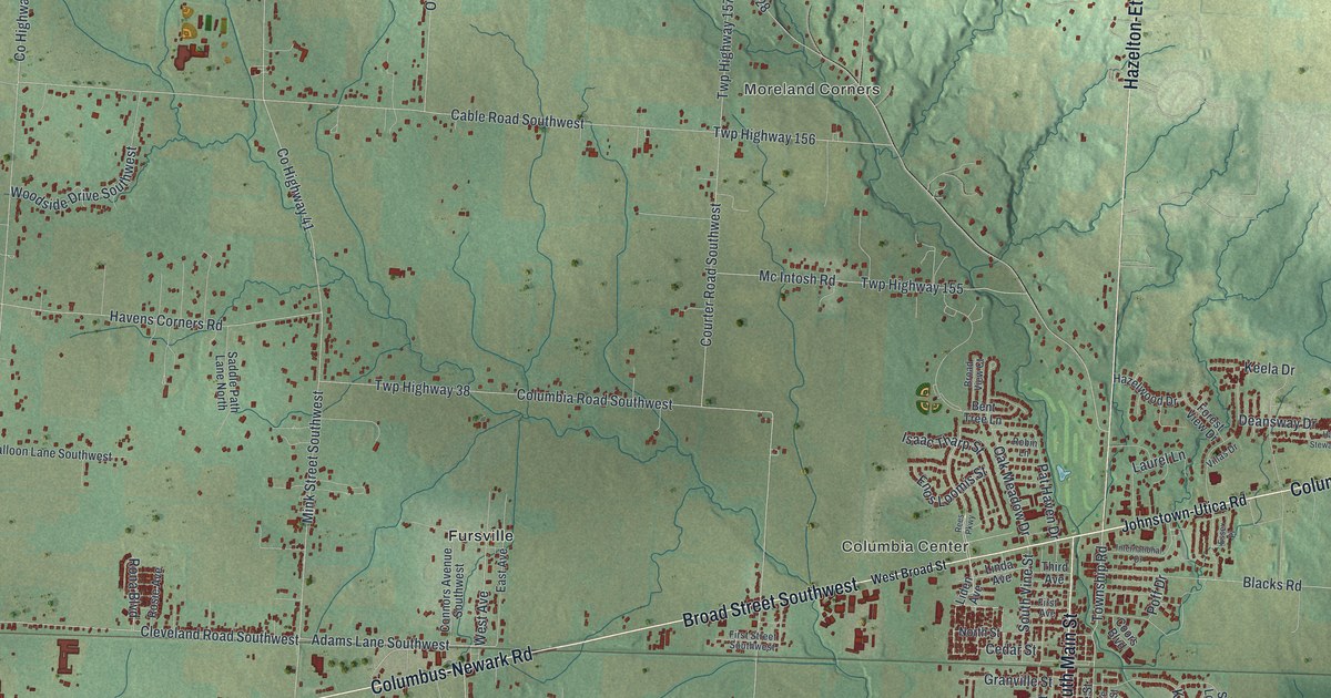
If you grew up along South Main Street or went to school on South High Street, this map was made with you in mind. It's a modern aerial view of Pataskala in Licking County, Ohio, drawn from modern data and given a vintage look. Broad Street and Columbus-Newark Road are both printed on it. Thin blue creeks cut through green, shaded hills, and every red mark is a building.
Streets and Places on the Pataskala Map
On this map you'll find Broad Street, South Main Street, South High Street, Cedar Street, South Vine Street, Columbus Road, Columbus-Newark Road, Johnstown-Utica Road, Hazelton-Etna Road Southwest, Mill Street Southwest, Summit Station, Columbia Center, Fursville, Moreland Corners, and more. Each red shape is a building, so zoom in on the preview and look for yours.
How Conine Town Became Pataskala
Pataskala started with one couple. Richard and Sarah Conine came from New Jersey. By 1821 they lived in Lima Township, and Richard started a grist mill nearby. Their home was also a stagecoach stop on the mud pike between Columbus and Newark. That was before the railroad came. In 1851 Richard laid out a town and called it "Conine Town." It was renamed Pataskala soon after. The Conines helped build schools and churches, and they gave land for the Pataskala Cemetery. Their home stood until 1964, and an Ohio historical marker now stands at 66 E. Broad Street. On the map, you'll find Columbus-Newark Road and Columbus Road.
Pataskala Elementary School on South High Street
Learning here began by the water. In the 1820s, Amariah Cubberly ran a subscription school on the banks of the South Fork of the Licking River. Families paid a fee to send their children. In 1870 the town put grades one through twelve in one building on Main Street. The school moved to a new building in 1908. That Queen Anne style school is Pataskala Elementary School, and it's on the National Register of Historic Places. Its marker is on South High Street, which you'll find on the map.
Summit Station and South Main Street on the Pataskala Map

Created by KNOWOL in 2026. The print shows green, shaded hills with thin blue creeks and small red buildings, framed by a dark border. The cream title panel reads "Aerial View of Pataskala, Ohio" with the coordinates 40°01' North 82°42' West.
It fits a living room, a hallway or a home office. It's a kind gift for someone who went to Pataskala Elementary School or who moved away and misses Broad Street. Open the preview and zoom in on your part of town. See sizes and frames for the Pataskala map.