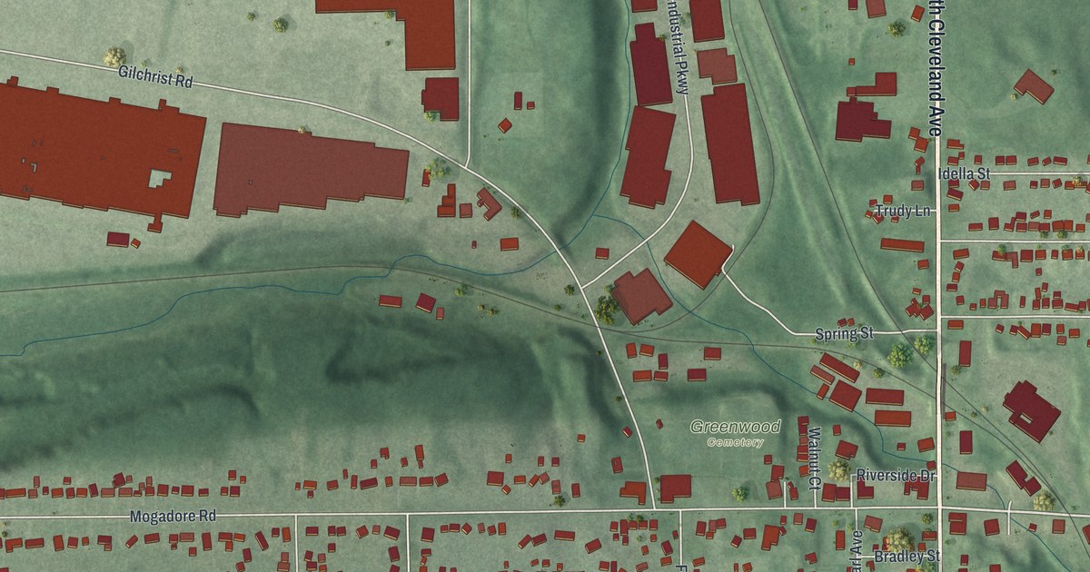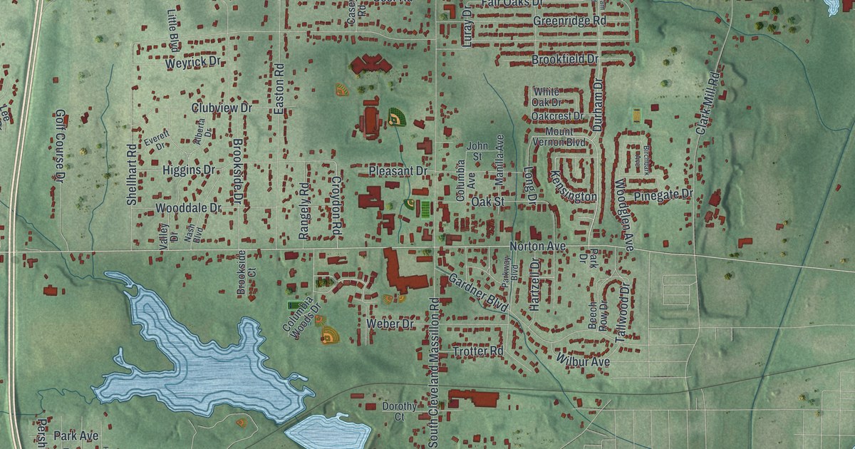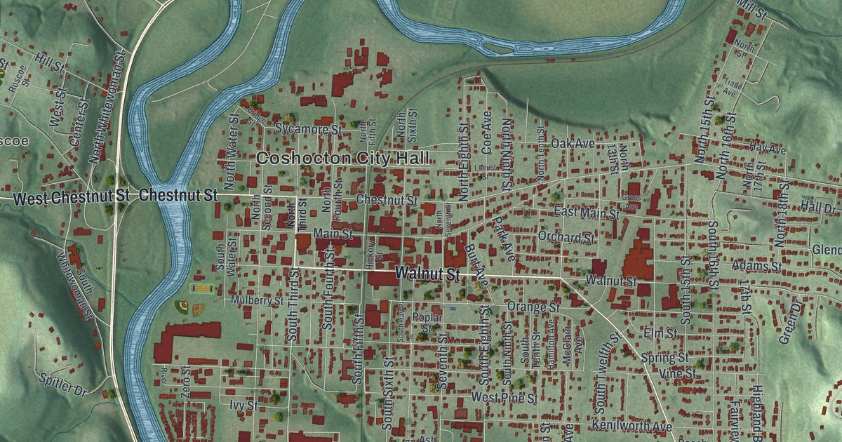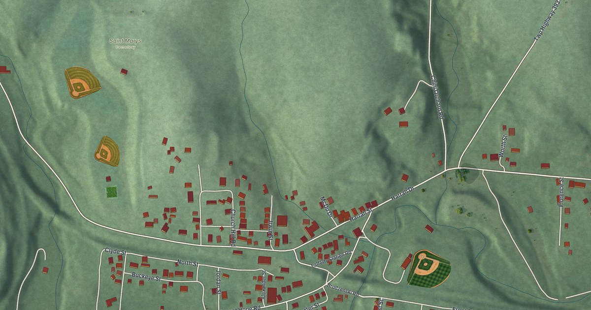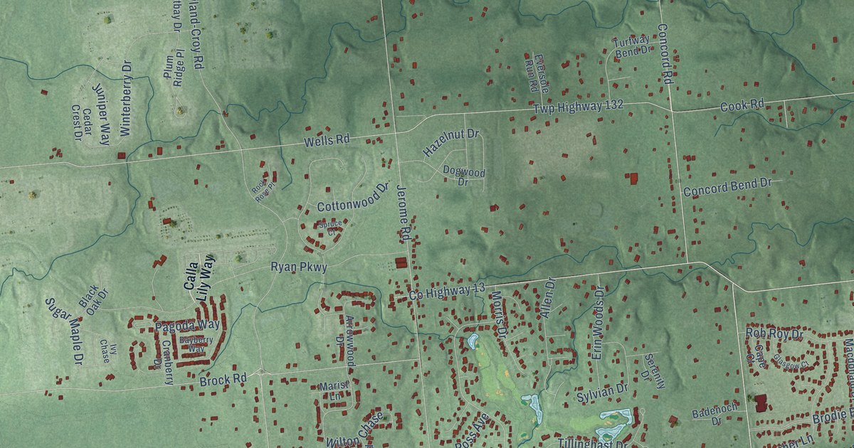
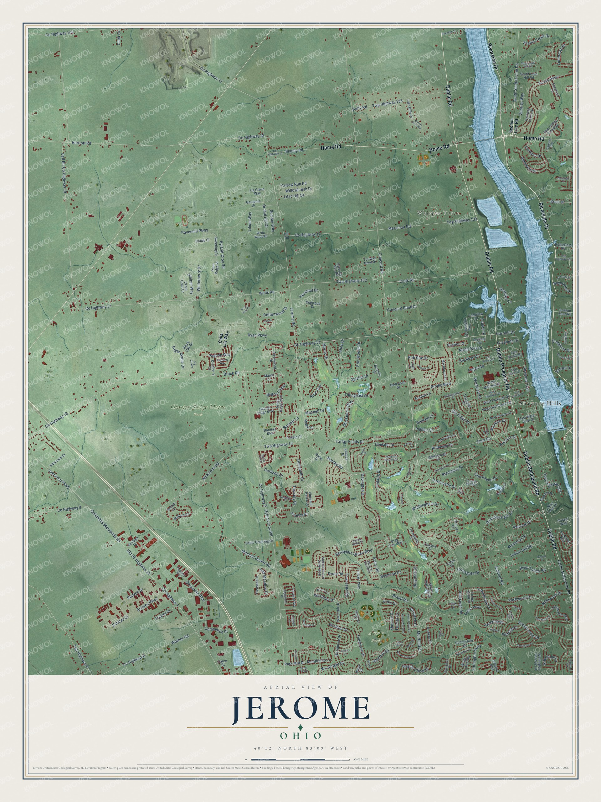
This beautifully detailed map of Jerome, Ohio was created in 2026 using aerial imagery combined with modern topographical, census, street and landmark data. It’s a one-of-a-kind view of Jerome that combines accurate data with a vintage aesthetic. The map shows every building in its true location, many of the roads carry their names, and the shaded topographic relief shows the shape of the land.
Explore an aerial view of Jerome, Ohio
On the map you’ll find Whisper Trace, Avery Park, Glacier Ridge Metro Park, and Shawnee Hills, along with Home Road, Dublin Road, Riverside Drive, Dublin Prospect Road, Dublin Bellepoint Road, Muirfield Drive, Concord Road, Frabell Drive, and more. If you look closely you can even find your house accurately drawn in its correct location. Zoom in on the preview to look for yours.
Did You Know?
From the 1908 20th Century History of Delaware County, Ohio: "Stokes and family came to America, they settled in Jerome Township, Union County, Ohio, which continued to be their home until 1863."
Jerome is a community in Union County.
Take a closer look at the Jerome map
Names on this map
These names are printed on this map.
Places: Whisper Trace, Avery Park, Glacier Ridge Metro Park and Shawnee Hills.
Streets and roads: Home Road, Dublin Road, Riverside Drive, Dublin Prospect Road, Dublin Bellepoint Road, Muirfield Drive, Concord Road, Frabell Drive, South Section Line Road, Harriott Road, Manley Road, Avery Road.
More street names, A to Z
Aldridge Place, Allen Drive, Archer Lane, Arrowwood Drive, Aryshire Drive, Ashbaugh Road, Asherton Boulevard, Ashford Road, Avalon Lane, Badenoch Drive, Balfoure Circle, Balmoral Drive, Barassie Place, Bardston Drive, Baronet Boulevard, Barrister Drive, Bartles Avenue, Bayberry Way, Baypointe Drive, Bellow Valley Drive, Bell Road, Belvedere Green Boulevard, Bennett Court, Berwanger Drive, Black Oak Drive, Blaney Road, Blarney Stone Way, Brandonway Drive, Brand Road, Brigids Close Drive, Bristol Parkway, Brock Road, Brodie Boulevard, Brust Drive, Buckeye Drive, Buechel Drive, Burnett Lane, Burnside Lane, Business Way, Calabria Place, Calla Lily Way, Canby Court, Cape Court, Caraway Avenue, Carnoustie Drive, Cascade Drive, Cashel Court, Cedar Crest Drive, Celtic Crossing Drive, Clark Drive, Columbus Marysville Road, Commerce Place, Concord Bend Drive, Conley Lane, Cook Road, Corazon Drive, Corporate Boulevard, Cottonwood Drive, County Highway 1, County Highway 2, County Highway 6, County Highway 9, County Highway 11, County Highway 13, County Highway 14, County Highway 15, County Highway 16, County Highway 17, County Highway 18, County Highway 19, County Highway 104, Craigston Court, Cranberry Drive, Creighton Drive, Cromdale Drive, Crossgate Drive, Daron Court, Davington Drive, Deacon Court, Deer Run Drive, Deer Valley Crossing, Deeside Drive, Din Eidyn Drive, Dogwood Drive, Donatello Drive, Drury Road, Dublin-Bellepointe Road, Dublinshire Drive, Duddingston Drive, Duffy Road, Dunniker Park Drive, Dunsinane Drive, Earlington Parkway, Earlsford Drive, East Huron Drive, East Parkside Drive, East Scioto Drive, East Water View Drive, Elizabeth Drive, Enfield Court, Enke Court, Erin Woods Drive, Estates Court, Estates Parkway, Eventrail Drive, Eversole Run Road, Fairfield Lakes Drive, Fairlane Drive, Fawnbrook Lane, Fig Grove Way, Finlarig Drive, Firenza Place, Forest Knoll Drive, Frazier Drive, Fulmar Drive, Gardenia Drive, Gateway Boulevard, Glacier Ridge Boulevard, Glasgow Court, Glenaire Drive, Glenmeir Court, Glenmore Drive, Glick Road, Greenside Drive, Grey Friar Way, Griffiths Lane, Haddington Drive, Harriott Drive, Haverhill Drive, Hazelnut Drive, Heatherwood Lane, Heritage Drive, Highbury Court, Hill Road, Holyrood Court, Hyland-Croy Road, Hyland Croy Road, Indian Hill Road, Industrial Parkway, Inverurie Drive East, Irish Hills Drive, Ivy Chase, Jaymes Street, Jerome Road, Juniper Way, Kate Brown Drive, Kestrel Way East, Kestrel Way West, Kilbrittain Lane, Killaloe Drive, Kinross Court, Lakeview Drive, Lea Court, Leith Drive, Letterman Drive, Lilac Hill Drive, Lilium Way, Locherbie Court, Logan Road, Lombard Way, Longbenton Way, Lynx Lane, Macdonald Drive, Mackenzie Way, Macneil Drive, Macrenan Lane, Mallard Circle, Marist Lane, Maynooth Drive, McKitrick Road, McNeil Drive, Memorial Drive, Merchant Road, Mitchell Dewitt Road, Monticello Lane, Moors Place North, Morris Drive, Muirfield Court, Muirkirk Drive, North Lake Hill Road, North Park Place, Oak Meadow Drive, Old US Highway 33, Orchid Hill Drive, Pagoda Way, Palmer Court, Park Mill Drive, Pesaro Way, Pleasant Drive, Plum Ridge Place, Preston Mill Way, Quetzal Drive, Rausch Drive, Ravenhill Parkway, Raynor Court, Reddington Drive, Reserve Drive, Richens Drive, River Forest Road, Rob Roy Drive, Rock Rose Place, Roma Drive, Roseto Villa Drive, Ross Avenue, Rothesay Drive, Round Tower Lane, Royal Plum Drive, Rushwood Drive, Rutherford Road, Ryan Parkway, Sagestone Drive, Saint Mel Circle, Scenic Creek Drive, Scioto Parkway, Section Line Road, Seldom Seen Road, Serenity Drive, Shannon Glen Boulevard, Shawnee Trail, Somerset Way, South Lake Hill Road, Springburn Drive, Spruce Court, Stansbury Drive, Sterling Road, Sugar Maple Drive, Summerhouse Drive West, Sumner Way, Sunrise Way, Sunset Drive, Sweetbay Drive, Sylvian Drive, Tartan Fields Drive, Tartan Ridge Boulevard, Tarton Drive, Tayport Drive, Tillinghast Drive, Townsend Road, Traceyton Drive, Tullymore Drive, Turfway Bend Drive, Tuscany Drive, Twp Highway 9, Twp Highway 10, Twp Highway 132, Twp Highway 133, Twp Highway 135, Twp Highway 306, Twp Highway 310, Twp Highway 331, Viburnum Drive, Vineyard Haven Drive, Walden Circle, Wareham Drive, Warner Road, Wellington Reserve Court, Wells Road, Wellston Court, Westbury Drive, West Hiawatha Drive, West Mohawk Drive, West Mohican Drive, West Old Powell Road, West Parkside Drive, West Reindeer Drive, Westview Drive, Whitecraigs Court, Whittingham Drive, Willowbrush Drive, Wilton Chase, Windsor Drive, Windwood Drive, Wings Livery Road, Winterberry Drive, Wismer Circle, Wisteria Circle, Wren Wood Drive, Wryneck Drive, Wyler Drive, Wyndburne Drive, Wynford Drive, Wynwright Drive, Yarrow Run Road.
See it on a wall
The Jerome map as a framed print. Swipe for more.


This beautifully detailed map of Jerome makes an attractive addition to your office, library, or den, and it can even be used to teach children the geography and history of the area. It also makes a great gift for someone who left Jerome and still calls it home. When you’re done exploring, click here to get your copy of the Jerome map.