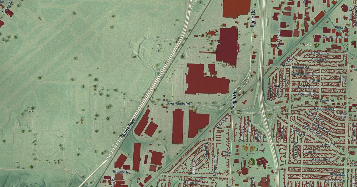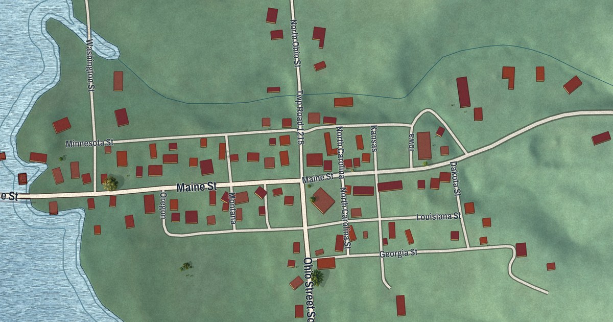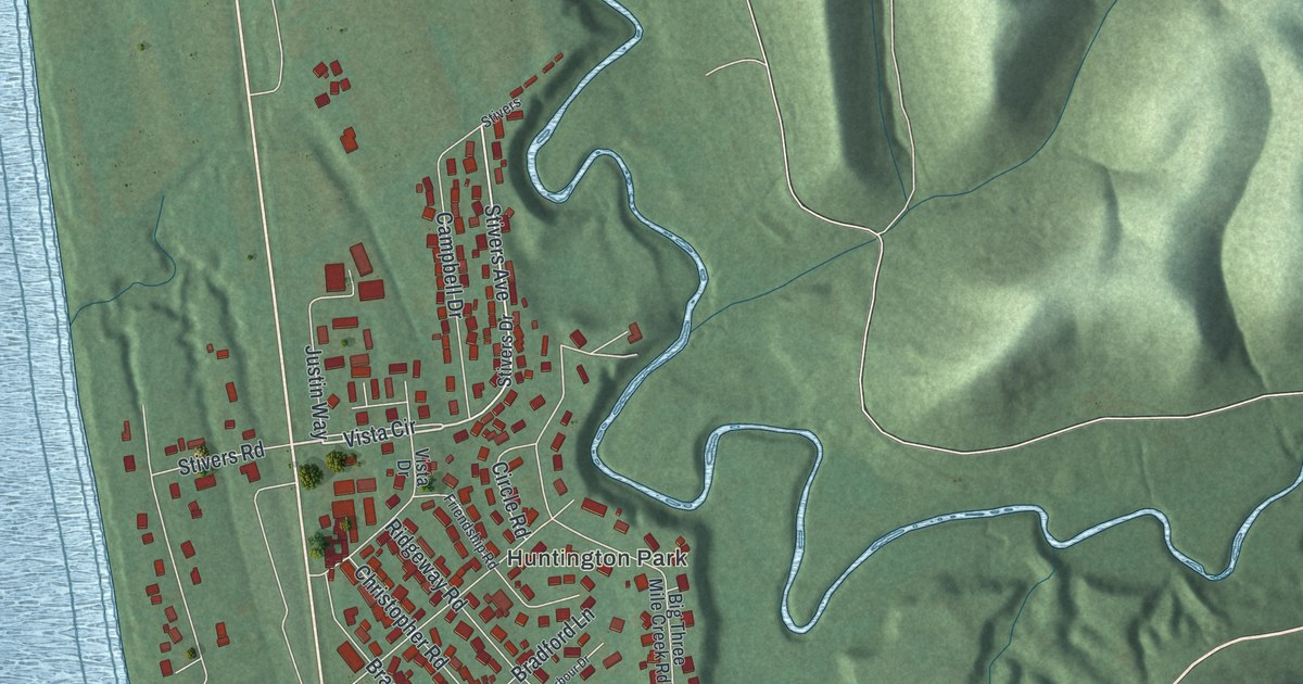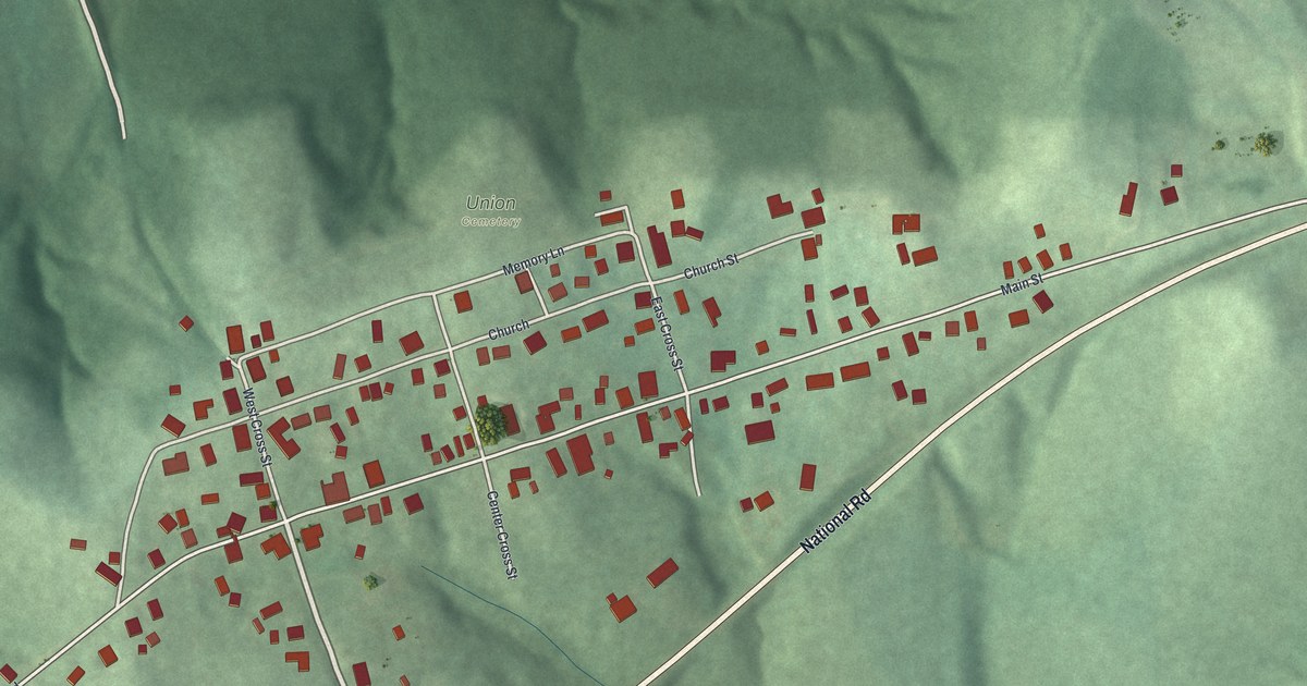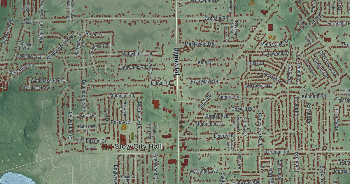
If you grew up in Stow, or you still drive Darrow Road past Stow City Hall, this map was made for you. It's a new aerial view of Stow in Summit County, Ohio, built from modern data and given a soft vintage look. Darrow Road runs down the middle of the sheet. Thousands of small red shapes mark the homes and shops on each side. Lakes shine blue, and a wide river bends across the bottom of the print.
Streets and Places Around Stow City Hall
On this map you'll find Darrow Road, Kent Road, Front Street, Graham Road, Fishcreek Road, Stow Road, Call Road, Norton Road, Hudson Drive, Stow City Hall, Silver Springs Park, Darrowville, Fish Creek, Oregon Corners, Metz, and more. Each red shape is a building, so zoom in on the preview and look for yours.
The Surveyor Named Stow
Henry Howe's 1891 history of Ohio tells about a man named Stow, the same name the city carries. He was part of the first party of surveyors of the Western Reserve. They landed at Conneaut on July 4, 1796. Stow worked as the flag-man, so he was always out ahead of the group. Rattlesnakes were plenty in those days. When he came upon one in their path first, he killed it.
The snakes stayed around long after the surveyors left. Howe wrote that rattlesnakes were a great pest to the first settlers of Stow township. It took many years before they were gone. Today this map shows more than 24,000 buildings, from the blocks along Darrow Road out to Oregon Corners.
One old farm on the map is on the National Register. The Stewart-Hanson Farm on Call Road was added to the National Register of Historic Places in 1992. Look for Call Road in the upper right part of the map.
Bring Darrow Road and Silver Springs Park Home
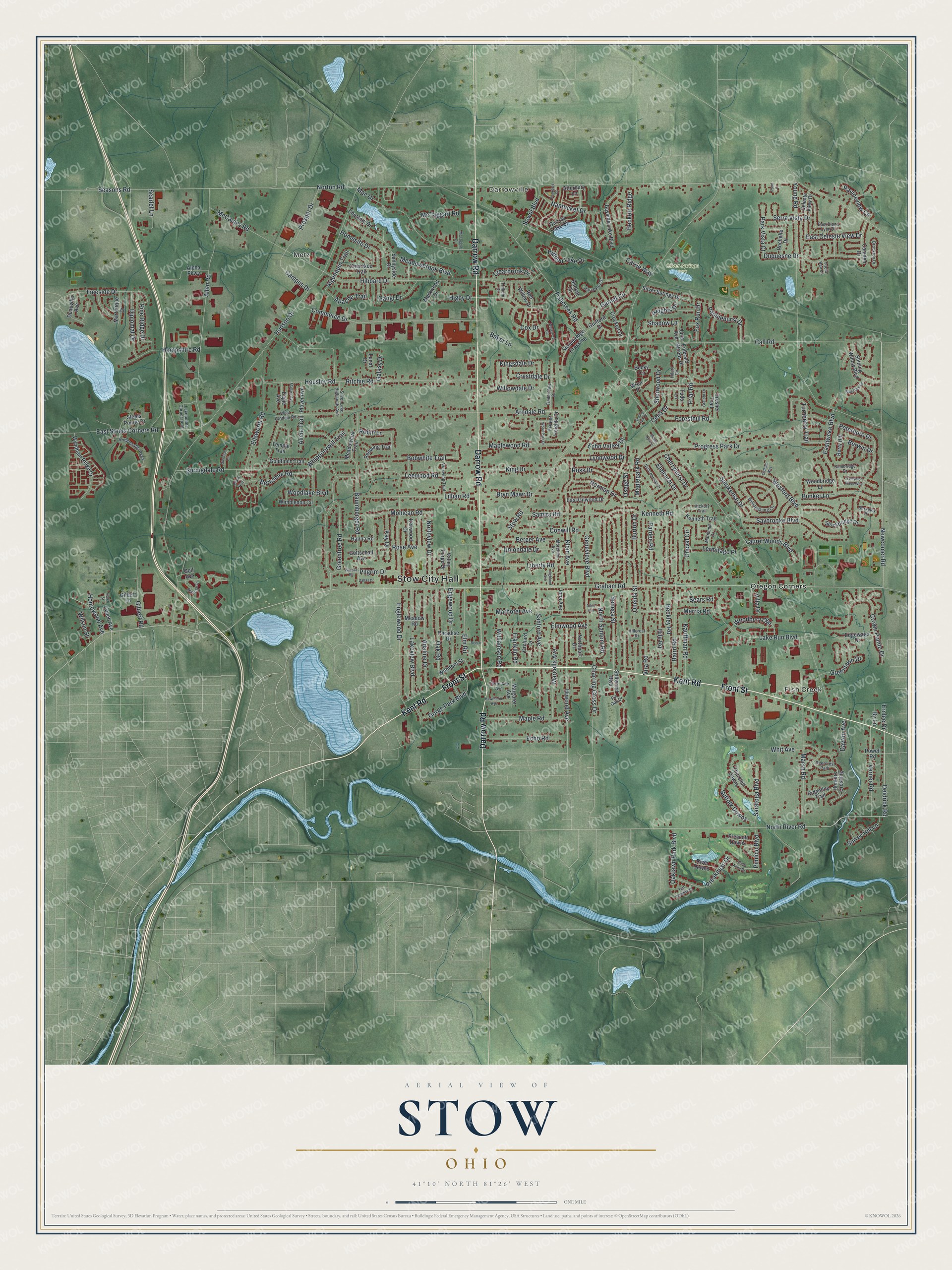
Created by KNOWOL in 2026. It was built from U.S. Geological Survey terrain and water data, Census streets, and FEMA building outlines. The print shows green hills in soft shaded relief, red shapes for buildings, blue lakes, and a winding river near the bottom edge. The title panel reads AERIAL VIEW OF STOW, OHIO, with 41°10' NORTH 81°26' WEST printed below.
It fits well in a living room, a home office or a front hall. It's a good gift for a new homeowner on Graham Road, or for anyone who grew up near Silver Springs Park and moved away. Open the preview and find the streets you know. See sizes and frames for the Stow map.