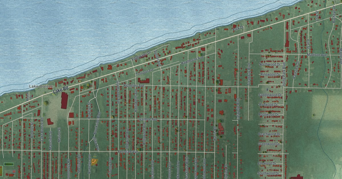
If you grew up in Sheffield Lake, look for your old block on this print. It's a modern aerial view of Sheffield Lake in Lorain County, Ohio, made with modern data and a vintage feel. Blue water fills the upper part of the map. Below the shore, red buildings trace the town's streets against green land.
Lake Road and Lake Breeze
On this map you'll find Lake Road, Lake Breeze, Abbe Road North, Lake Breeze Road, Sheffield Road, Walker Road, Community Road, Irving Park Boulevard, Hawthorne Avenue, Maple Avenue, Harris Road, Cove Beach Avenue, and more. Each red shape is a building, so zoom in on the preview and look for yours.
The historical marker for Jay Terrell tells a story from this shore. Around 1867, he found fossils along Sheffield Lake's shale cliffs. They belonged to a huge, armor-plated fish, now called Dunkleosteus terrelli. It lived in a sea that covered much of eastern North America. That was some 354 to 364 million years ago. Its powerful jaws made it a top sea predator. The fish was named in Terrell's honor. The marker stands at Shell Cove Park on Lake Road. Find Lake Road on the print beside the blue shore to place that discovery in its lakeside setting.
Sheffield Lake's shore on your wall
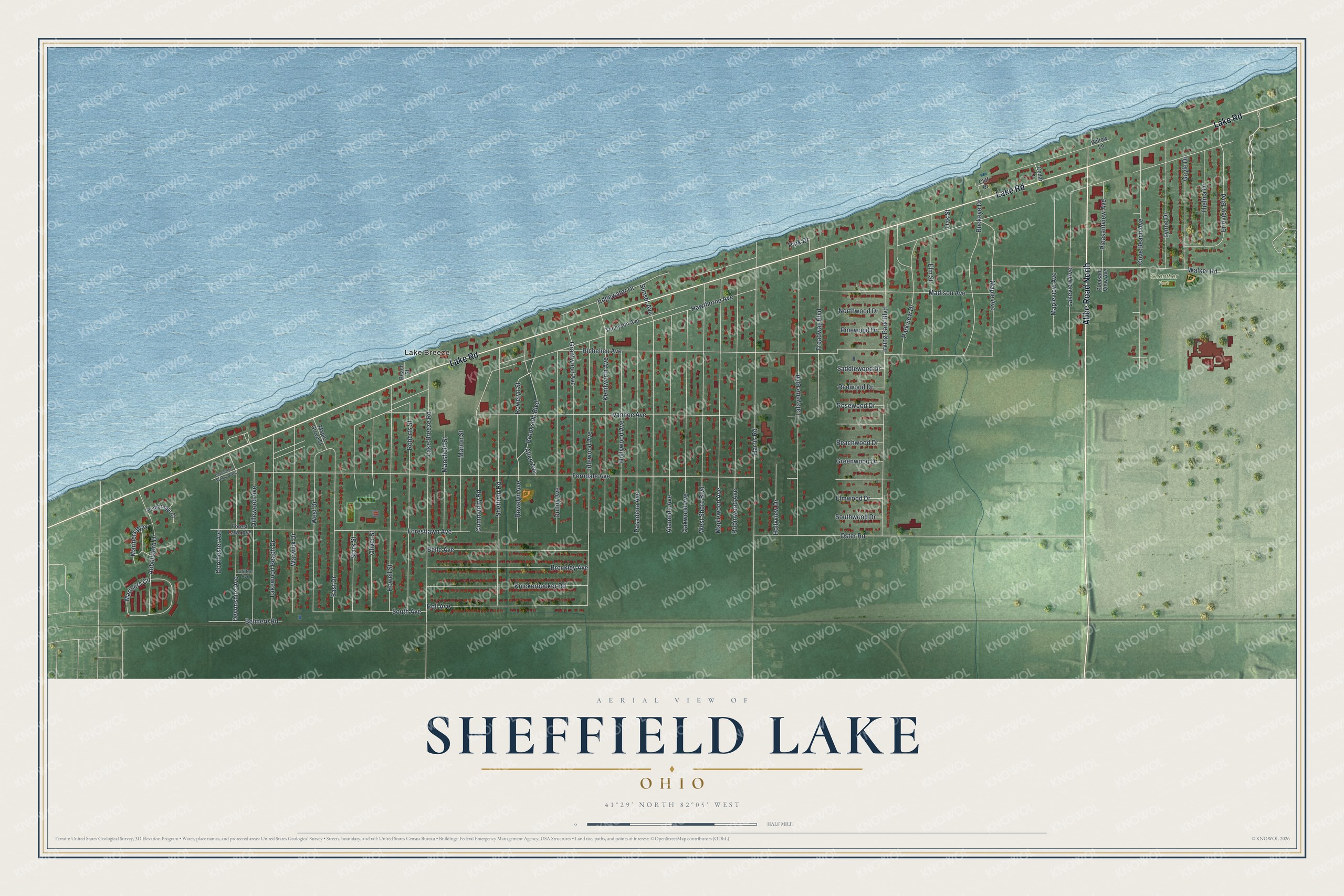
Created by KNOWOL in 2026, this print pairs blue water, green land and red buildings with a cream border. The title panel reads AERIAL VIEW OF, SHEFFIELD LAKE, OHIO, and 41°29' NORTH 82°05' WEST.
Hang it in a living room, home office or entryway. It's a gift for someone who grew up near Lake Breeze or moved away from Sheffield Lake. Open the preview and look for the streets you'd like to keep close. See sizes and frames for the Sheffield Lake map.