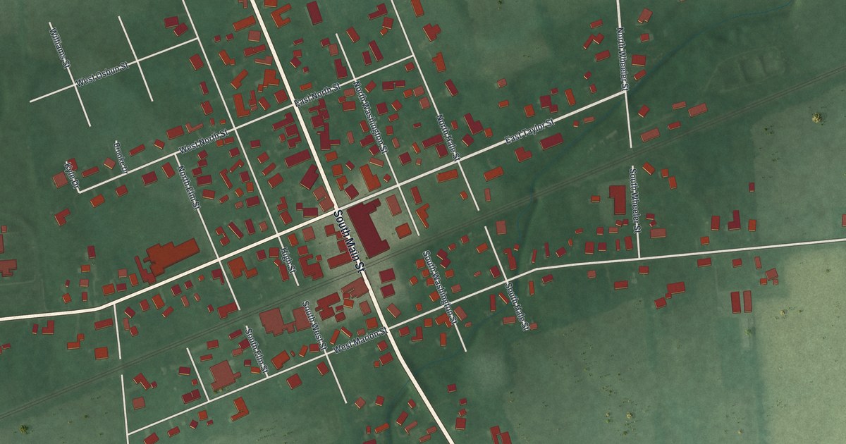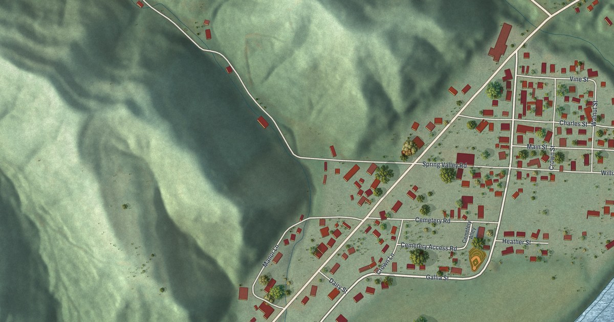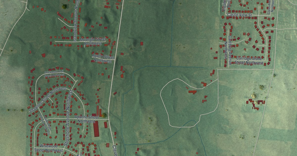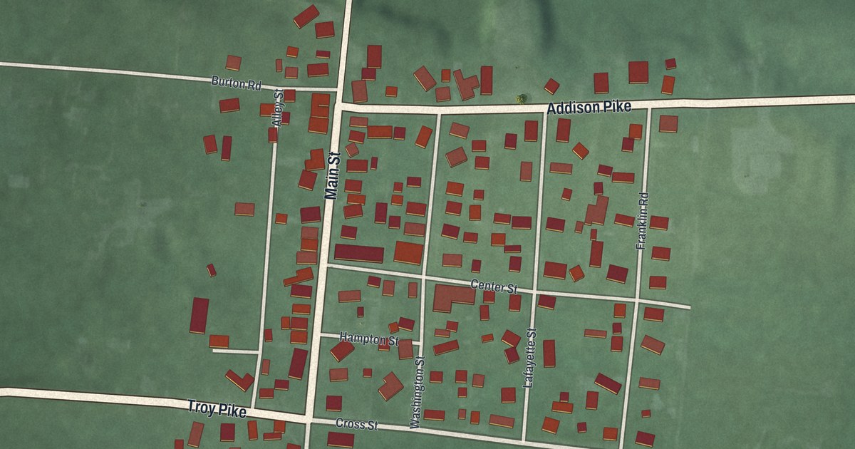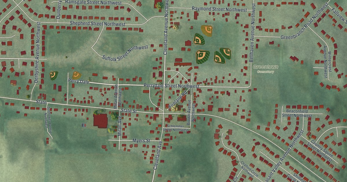
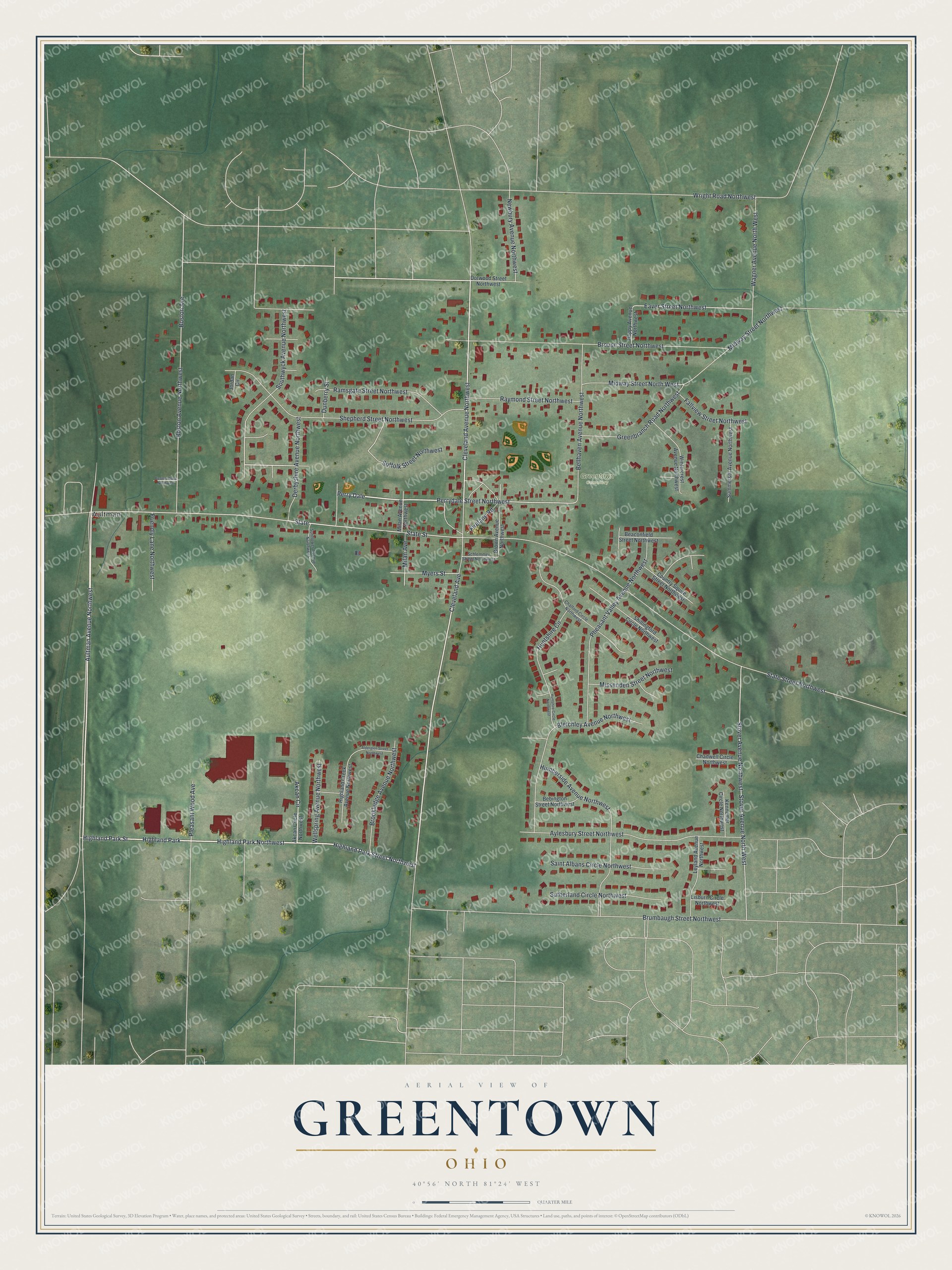
This beautifully detailed map of Greentown, Ohio was created in 2026 using aerial imagery combined with modern topographical, census, street and landmark data. It's a modern aerial view of Greentown in Stark County, Ohio, that combines modern data with a vintage aesthetic. The roads feature printed names, and if you look closely you can find your exact house accurately shown in its correct location.
Explore an aerial view of Greentown, Ohio
On this map you'll find Aultman, Greentown Cemetery, Highland Park, Highland Park Northwest, Highland Park Street, Highland Park Street Northwest, Aultman Avenue Northwest, Perry Dale, Cleveland Avenue, Perrydale Street Northwest, State Street, Eaver Street Northwest, and more. Each red shape is a building, so zoom in on the preview and look for yours.
Greentown is a community in Stark County. The Census Bureau counted 3,382 people here in 2020. The map prints the town name in its title panel, with the coordinates below it.
Take a closer look at the Greentown map
Names on this map
These names are printed on this map.
Places: Aultman, Greentown Cemetery and Highland Park.
Streets and roads: Highland Park Northwest, Highland Park Street, Highland Park Street Northwest, Aultman Avenue Northwest, Perry Dale, Cleveland Avenue, Perrydale Street Northwest, State Street, Eaver Street Northwest, State, Cleveland Avenue Northwest, State Street Northwest.
More street names, A to Z
Akcan Circle, Akcan Circle Northwest, Alderglen Street Northwest, Aylesbury Street Northwest, Beaconfield Street Northwest, Bebington Street Northwest, Bellhaven Avenue Northwest, Bletchley Avenue Northwest, Boston Avenue, Boston Avenue Northwest, Boston Place Northwest, Brookledge Avenue Northwest, Brouse Street Northwest, Brown Avenue Northwest, Brumbaugh Street Northwest, Chadwell Circle Northwest, Chalford Circle Northwest, Country Squire Street Northwest, Derbyshire Avenue Northwest, Dotwood Street Northwest, Dunberry Street, Fallview Street Northwest, Firelane Road, Friendly Lane Northwest, Greenbranch Road Northwest, Happy Avenue Northwest, Highland Creek Avenue Northwest, Humberside Avenue Northwest, Huntshire Circle, Huntshire Circle Northwest, Jordan Circle, Kennemer Circle Northwest, Leyland Avenue Northwest, Lisburn Circle Northwest, Midway Street North West, Midway Street Northwest, Milan Avenue, Milan Avenue Northwest, Missenden Street Northwest, Myers Street, Newbury Avenue Northwest, Pheasant Valley Avenue Northwest, Pleasant Wood Avenue, Ramsgate Street Northwest, Raymond Street Northwest, Saint Albans Circle Northwest, Schlemmer Street Northwest, Shepherd Street Northwest, Shillingford Circle Northwest, Southwyck Avenue Northwest, Stover Avenue North West, Stover Avenue Northwest, Suffolk Street Northwest, Summerset Avenue Northwest, Sunflower Avenue Northwest, Sutherland Circle Northwest, Wagner Avenue North West, Wellspring Avenue Northwest, Wintercrest Avenue Northwest, Wright Road Northwest.
See it on a wall
The Greentown map as a framed print. Swipe for more.


Created by KNOWOL in 2026. The buildings are small red shapes, the roads carry their printed names, and shaded relief shows the shape of the land. The title panel reads "AERIAL VIEW OF GREENTOWN, OHIO" with 40°56' NORTH 81°24' WEST.
It looks right in a kitchen, an office or a den, and it's a gift for anyone who grew up in Greentown or moved away. Open the preview and find your street. See sizes and frames for the Greentown map.