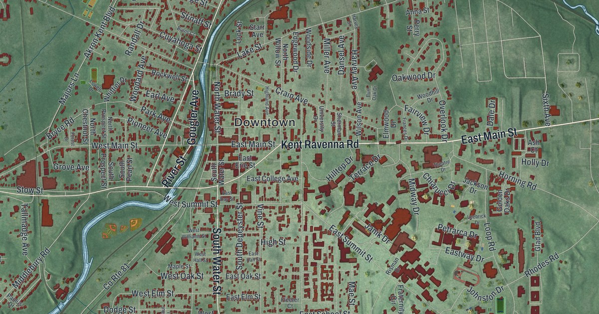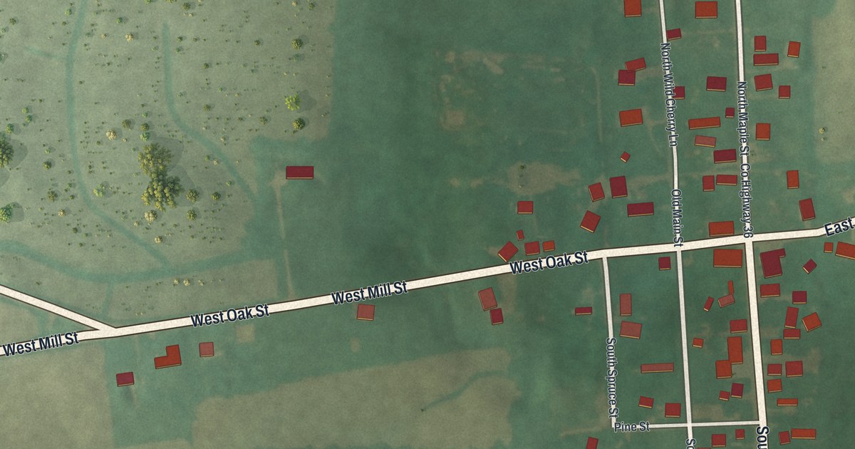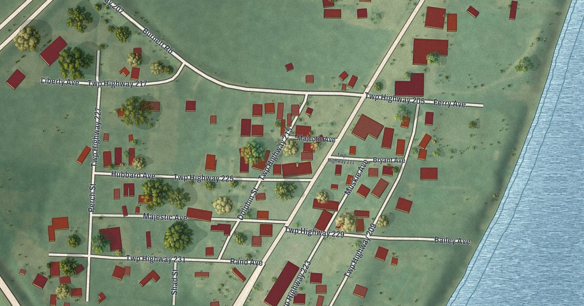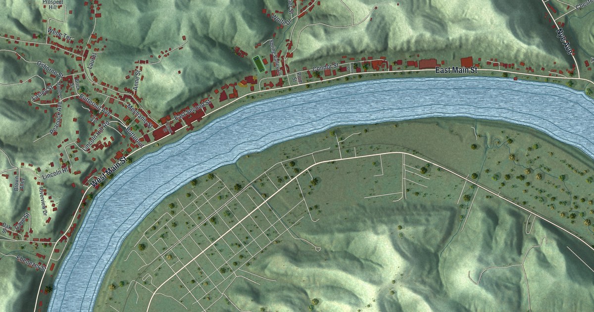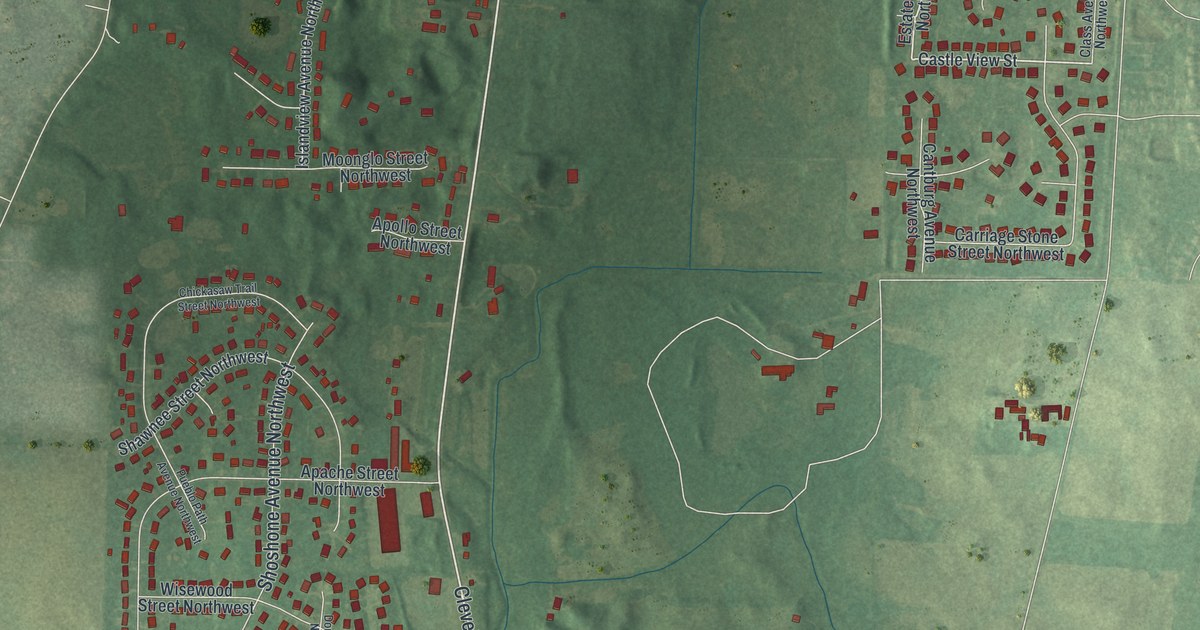
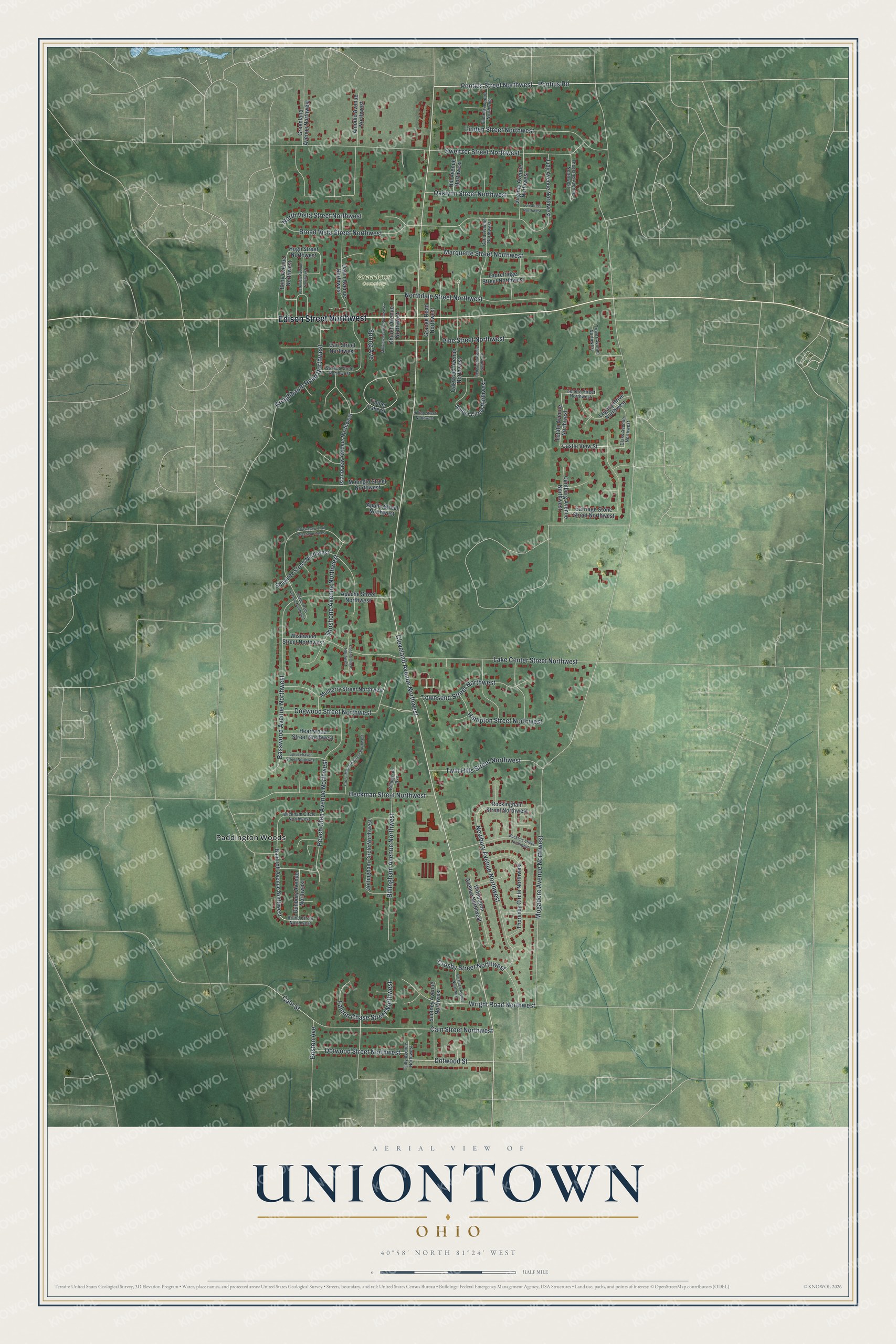
This beautifully detailed map of Uniontown, Ohio was created in 2026 using aerial imagery combined with modern topographical, census, street and landmark data. It’s a one-of-a-kind view of Uniontown that combines accurate data with a vintage aesthetic. The map shows every building in its true location, many of the roads carry their names, and the shaded topographic relief shows the shape of the land.
Explore an aerial view of Uniontown, Ohio
On the map you’ll find Greenlawn Cemetery and Paddington Woods, along with Edison Street Northwest, Cleveland Avenue Northwest, Pontius Road, Dotwood Street, Pontius Street Northwest, Mogadore Avenue Northwest, Sweitzer Street Northwest, Broad Vista Street Northwest, Lake Center Street Northwest, Cain Street Northwest, and more. If you look closely you can even find your house accurately drawn in its correct location. Zoom in on the preview to look for yours.
Did you know this piece of Uniontown, Ohio history?
From the 1881 History of Stark County, Ohio: "The town of Union was laid out. by Elias Brenner and Thomas Albert, owners and proprietors, in April, 1816, from portions of the northeast and the northwest quarters of Section 7, Township 12, Range 8. Sixty lots were laid out, and immediately offered for sale."
Take a closer look at the Uniontown map
Street and place names on the Uniontown, Ohio map
These names are printed on the map of Uniontown, Ohio.
Places: Greenlawn Cemetery and Paddington Woods.
Streets and roads: Edison Street Northwest, Cleveland Avenue Northwest, Pontius Road, Dotwood Street, Pontius Street Northwest, Mogadore Avenue Northwest, Sweitzer Street Northwest, Broad Vista Street Northwest, Lake Center Street Northwest, Cain Street Northwest, Newbury Avenue Northwest, Peach Glen Avenue Northwest.
More street names, A to Z
Amber Circle Northwest, Amodio Avenue Northwest, Apache Street Northwest, Apollo Street Northwest, Arlind Circle Northwest, Bancroft Avenue Northwest, Basswood Avenue Northwest, Betty Avenue Northwest, Billingham Avenue, Billingham Avenue Northwest, Boston Avenue, Bucklers Street Northwest, Cain Street, Cantburg Avenue Northwest, Carla Avenue Northwest, Carl Street Northwest, Carriage Stone Street Northwest, Castle View Street, Charney Avenue Northwest, Chickasaw Trail Street Northwest, Church Avenue Northwest, Class Avenue Northwest, Cottingham Circle Northwest, Crosby Street Northwest, Dawn Avenue Northwest, Dogwood Street Northwest, Dorena Circle Northwest, Dotwood Street Northwest, Dunbury Avenue Northwest, Estate Avenue Northwest, Falcon Chase Street Northwest, Forest Meadow Circle Northwest, Genera Street Northwest, Grange Road Northwest, Greenland Avenue Northwest, Hampton Street Northwest, Heartwood Street Northwest, Heckman Street Northwest, Hill Avenue Northwest, Hilltop Street Northwest, Hugh Street Northwest, Islandview Avenue Northwest, Judy Avenue Northwest, Kreighbaum Road Northwest, Laurelridge Street Northwest, Legacy Drive Northwest, Linden Street Northwest, Lori Street Northwest, Marquette Street Northwest, Millview Avenue Northwest, Moonglo Street Northwest, Mulberry Street Northwest, Northdale Street Northwest, North Vista Street Northwest, Oaklynn Street Northwest, Oakwood Avenue Northwest, Pamela Avenue Northwest, Parkview Avenue Northwest, Pine Street Northwest, Pueblo Path Avenue Northwest, Redwood Avenue Northwest, Rockingham Street Northwest, Scotney Avenue Northwest, Shawnee Street Northwest, Shoshone Avenue Northwest, Spring Avenue, Sprucehaven Street Northwest, Sunset Circle Northwest, Theeland Avenue Northwest, Thoresby Circle Northwest, Timber Lake Street, Townsend Street Northwest, Troyer Avenue Northwest, Tully Avenue Northwest, Twin Hills Street Northwest, Virginia Avenue Northwest, Wickham Circle Northwest, Wisewood Street Northwest, Withington Avenue Northwest, Wright Road Northwest.
See the Uniontown, Ohio map on a wall
The Uniontown map as an 18 x 24 inch print in a black frame.

This beautifully detailed map of Uniontown makes an attractive addition to your office, library, or den, and it can even be used to teach children the geography and history of the area. It also makes a great gift for anyone who grew up in Uniontown or moved away. When you’re done exploring, click here to get your copy of the Uniontown map.