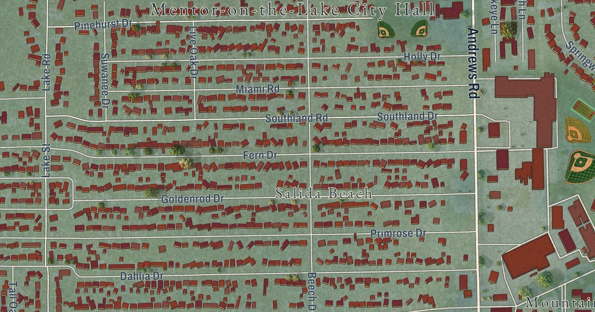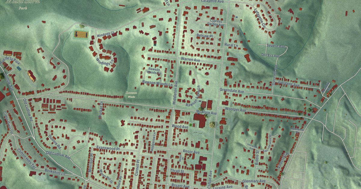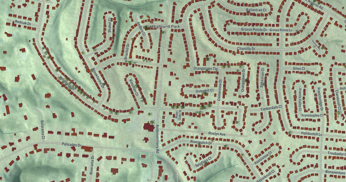
This beautifully detailed map of Delhi Hills, Ohio was created in 2026 using aerial imagery combined with modern topographical, census, street and landmark data. It’s a one-of-a-kind view of Delhi Hills that combines accurate data with a vintage aesthetic. The map shows every building in its true location, many of the roads carry their names, and the shaded topographic relief shows the shape of the land.
Explore an aerial view of Delhi Hills, Ohio
On the map you’ll find Highland Park, along with Oakwoodpark Drive, Orangelawn Terrace, Delhi Avenue, Delhi Pike, Pedretti Avenue, Whitmore Drive, Mount Alverno Road, Hillside Avenue, Palisades Drive, Anderson Ferry Road, Greenwell Avenue, and more. If you look closely you can even find your house accurately drawn in its correct location. Zoom in on the preview to look for yours.
Take a closer look at the Delhi Hills map
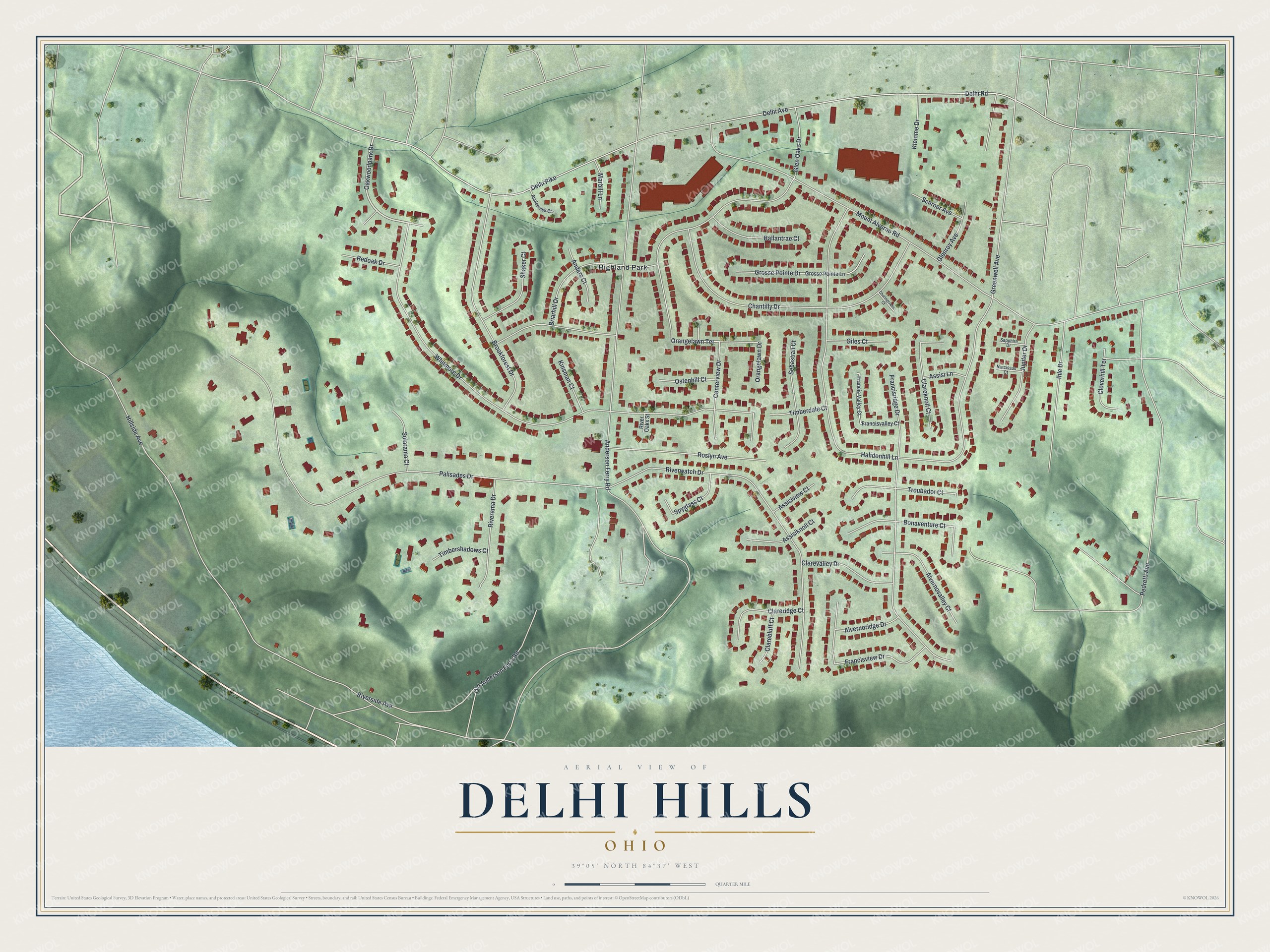
Street and place names on the Delhi Hills, Ohio map
These names are printed on the map of Delhi Hills, Ohio.
Places: Highland Park.
Streets and roads: Oakwoodpark Drive, Orangelawn Terrace, Delhi Avenue, Delhi Pike, Pedretti Avenue, Whitmore Drive, Mount Alverno Road, Hillside Avenue, Palisades Drive, Anderson Ferry Road, Greenwell Avenue, Riverwatch Drive.
More street names, A to Z
Alvernoridge Drive, Alvernovalley Court, Anders Court, Applecreek Court, Assisiknoll Court, Assisi Lane, Assisiview Court, Ballantrae Court, Bonaventure Court, Briarhill Drive, Brookforest Drive, Centerview Drive, Chantilly Drive, Charingcross Court, Clarebluff Court, Clareknoll Court, Clareridge Court, Clarevalley Drive, Cloverhill Terrace, Delhi Road, Francisridge Drive, Francis Valley Court, Francisvalley Court, Francisview Drive, Giles Court, Glen Oaks Drive, Glenroy Avenue, Grosse Pointe Drive, Grosse Pointe Lane, Halidonhill Lane, Ihle Drive, Jupiter Drive, Kinsman Court, Klemme Drive, Marbill Lane, Narcissus Court, Old Anderson Ferry Road, Orangelawn Drive, Ostenhill Court, Redoak Drive, Riverama Drive, River Oaks Street, Riverside Avenue, Roslyn Avenue, Sapphire Drive, Schroer Avenue, Sebastian Court, Shaker Court, Solarama Court, Spyglass Court, Timberdale Court, Timbershadows Court, Troubador Court.
See the Delhi Hills, Ohio map on a wall
The Delhi Hills map as an 18 x 24 inch print in a black frame.

This beautifully detailed map of Delhi Hills makes an attractive addition to your office, library, or den, and it can even be used to teach children the geography and history of the area. It also makes a great gift for anyone who grew up in Delhi Hills or moved away. When you’re done exploring, click here to get your copy of the Delhi Hills map.