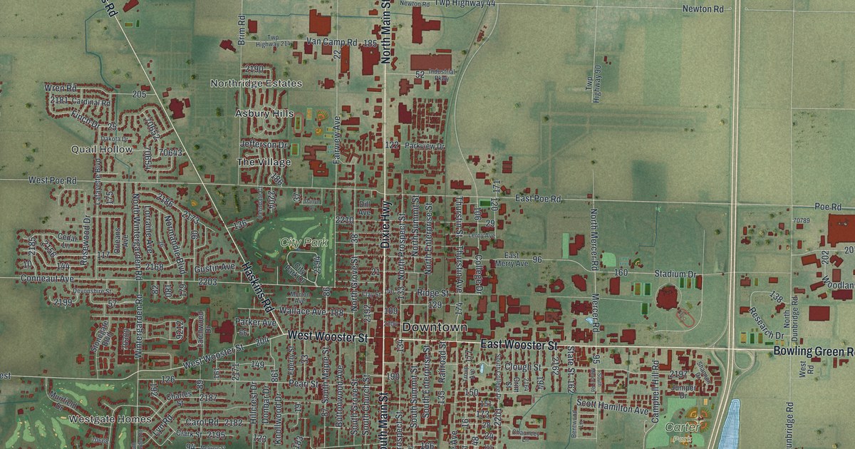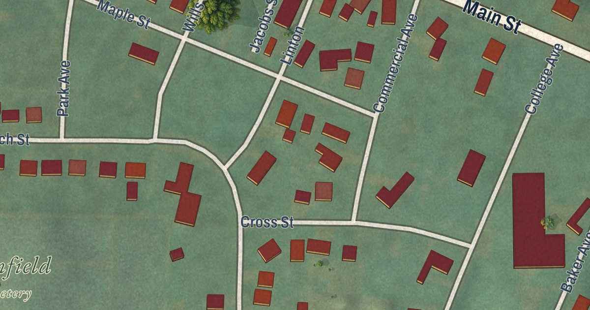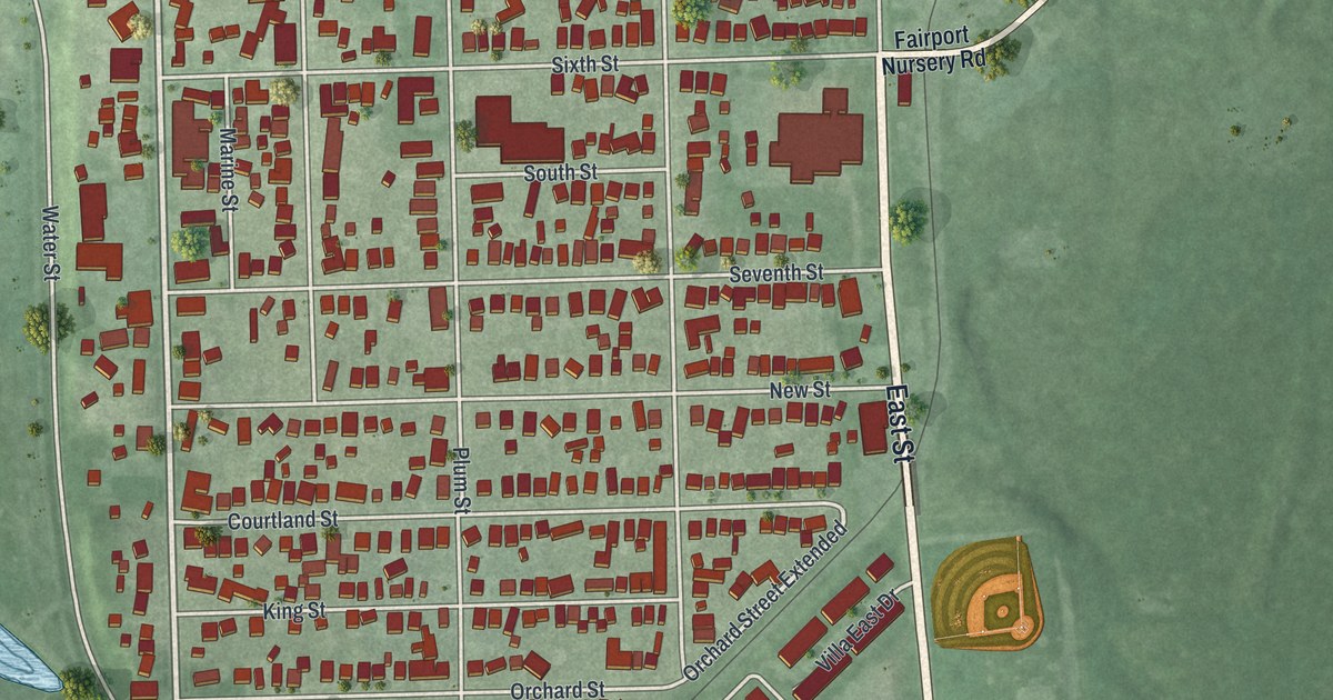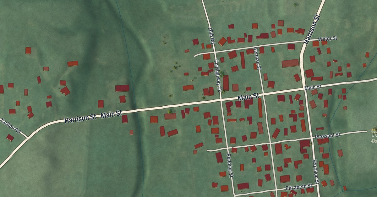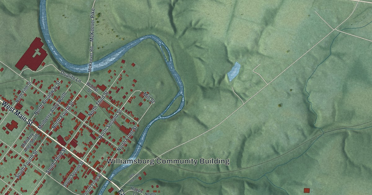
This beautifully detailed map of Williamsburg, Ohio was created in 2026 using aerial imagery combined with modern topographical, census, street and landmark data. It’s a one-of-a-kind view of Williamsburg that combines accurate data with a vintage aesthetic. The map shows every building in its true location, many of the roads carry their names, and the shaded topographic relief shows the shape of the land.
Explore an aerial view of Williamsburg, Ohio
On the map you’ll find Williamsburg Community Building, along with West Main Street, East Main Street, North Second Street, North Fourth Street, Gay Street, Spring Street, Willow Street, Todds Run Road, Todds Run-Foster Road, Zachary Drive, South Fifth Street, and more. If you look closely you can even find your house accurately drawn in its correct location. Zoom in on the preview to look for yours.
Did you know this piece of Williamsburg, Ohio history?
Major General William Lytle laid out Williamsburg in 1796. A surveyor, he became known as the Father of Clermont County for his work settling it. His 600-acre homestead, Harmony Hill, had a stone office where he sold land. The county’s first post office stood there too. Lytle moved to Cincinnati in 1809. That’s from the Clermont County Bicentennial Commission.
Take a closer look at the Williamsburg map
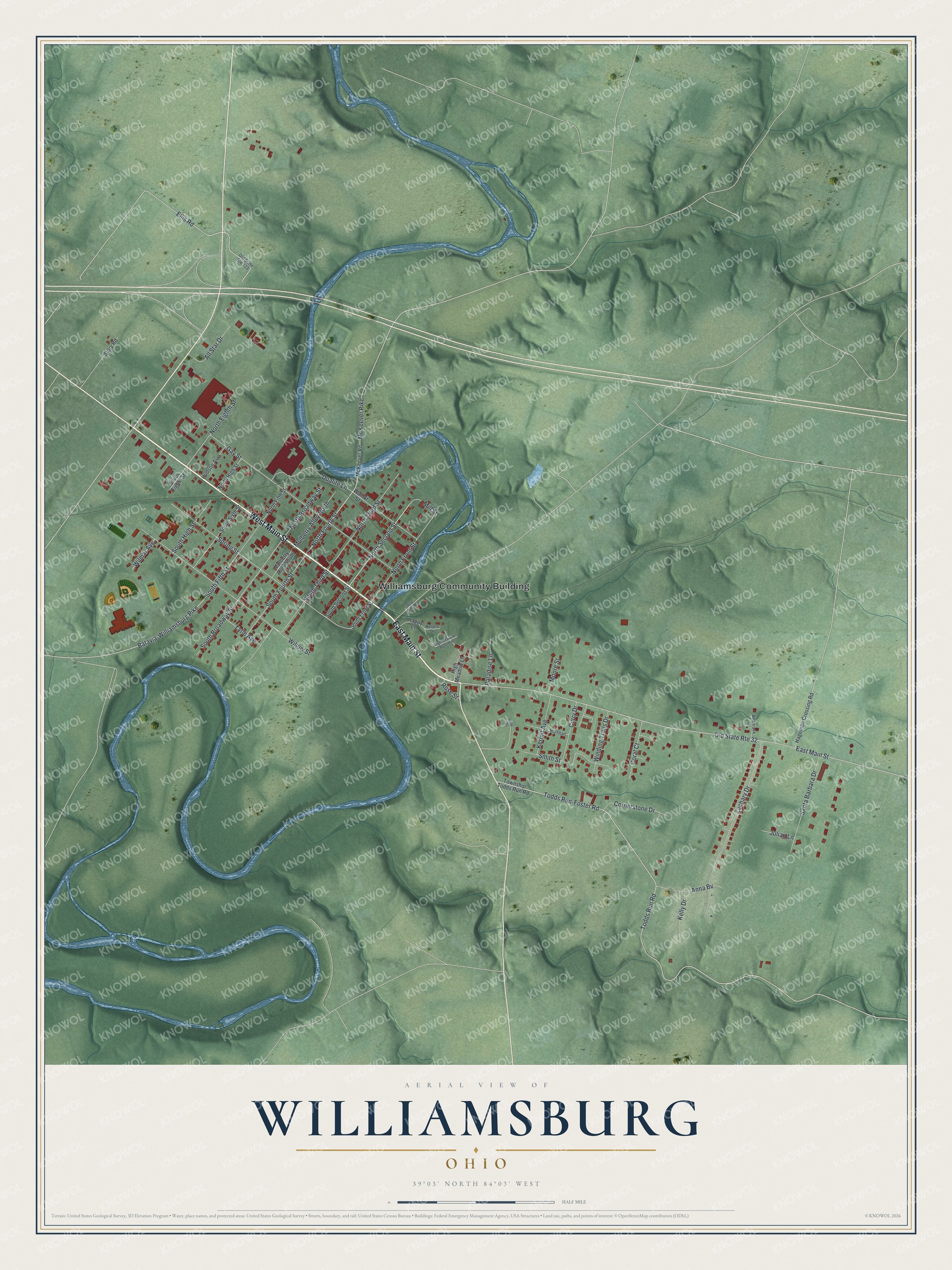
Street and place names on the Williamsburg, Ohio map
These names are printed on the map of Williamsburg, Ohio.
Places: Williamsburg Community Building.
Streets and roads: West Main Street, East Main Street, North Second Street, North Fourth Street, Old State Route 32, Gay Street, Spring Street, Willow Street, Todds Run Road, Todds Run-Foster Road, Zachary Drive, South Fifth Street.
More street names, A to Z
All Star Drive, Anna Bv, Batavia-Williamsburg Pike, Beartrack Drive, Coral Court, Cornerstone Drive, Curry Drive, Dela Palma Road, Dualite Lane, Ellis Road, Hageman Crossing Road, Happy Lane, High Meadow Lane, High Meadows Apartment, Hoffman, Hudson Avenue, Julian Lane, Kelly Drive, Kermit Avenue, Lytle Avenue, McKeever Pike, McKeever Road, Mill Street, Moore Street, Mulberry Alley North, Mulberry Alley South, Nevels Drive, North Broadway Street, North Eighth Street, North Fifth Street, North Front Street, North High Street, North Third Street, Old State Route 133, Paradise Lane, Rose Street, Sally Drive, Santa Barbara Drive, Smith Street, South Broadway Street, South Eighth Street, South Fourth Street, South Front Street, South High Street, South Second Street, South Sixth Street, South Third Street, Story Road, Township Todds Run Road, Walnut Street, Wilmar Avenue, Winding Trails Drive.
See the Williamsburg, Ohio map on a wall
The Williamsburg map as an 18 x 24 inch print in a black frame.

This beautifully detailed map of Williamsburg makes an attractive addition to your office, library, or den, and it can even be used to teach children the geography and history of the area. It also makes a great gift for anyone who grew up in Williamsburg or moved away. When you’re done exploring, click here to get your copy of the Williamsburg map.