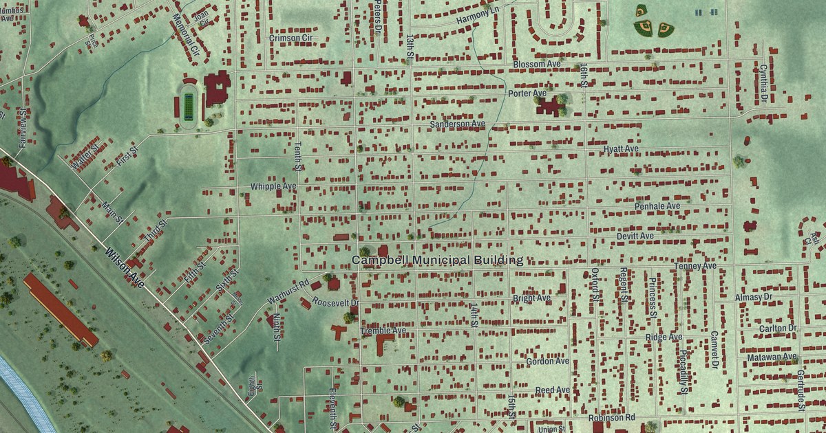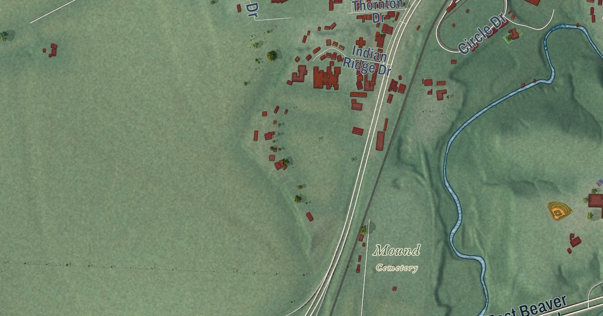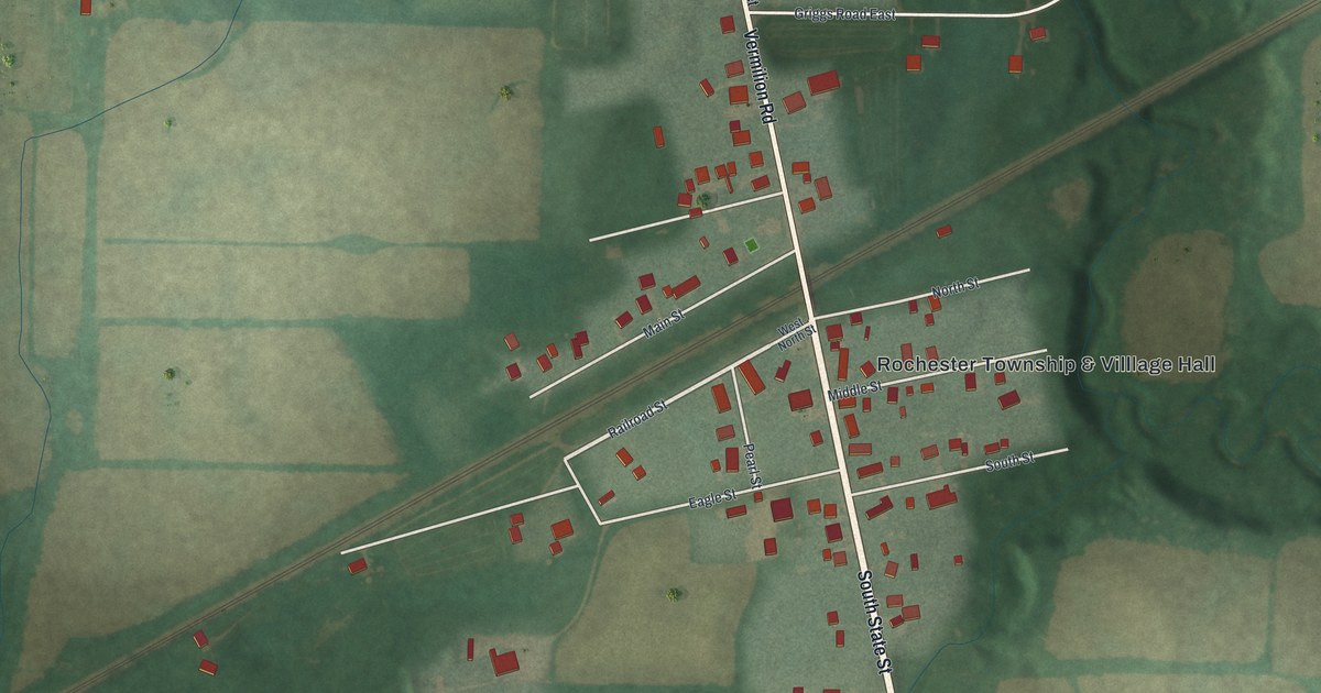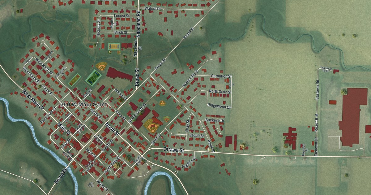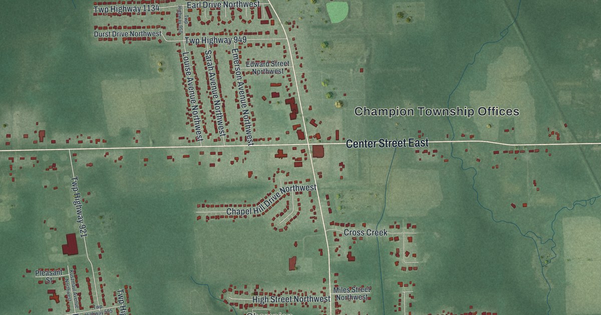
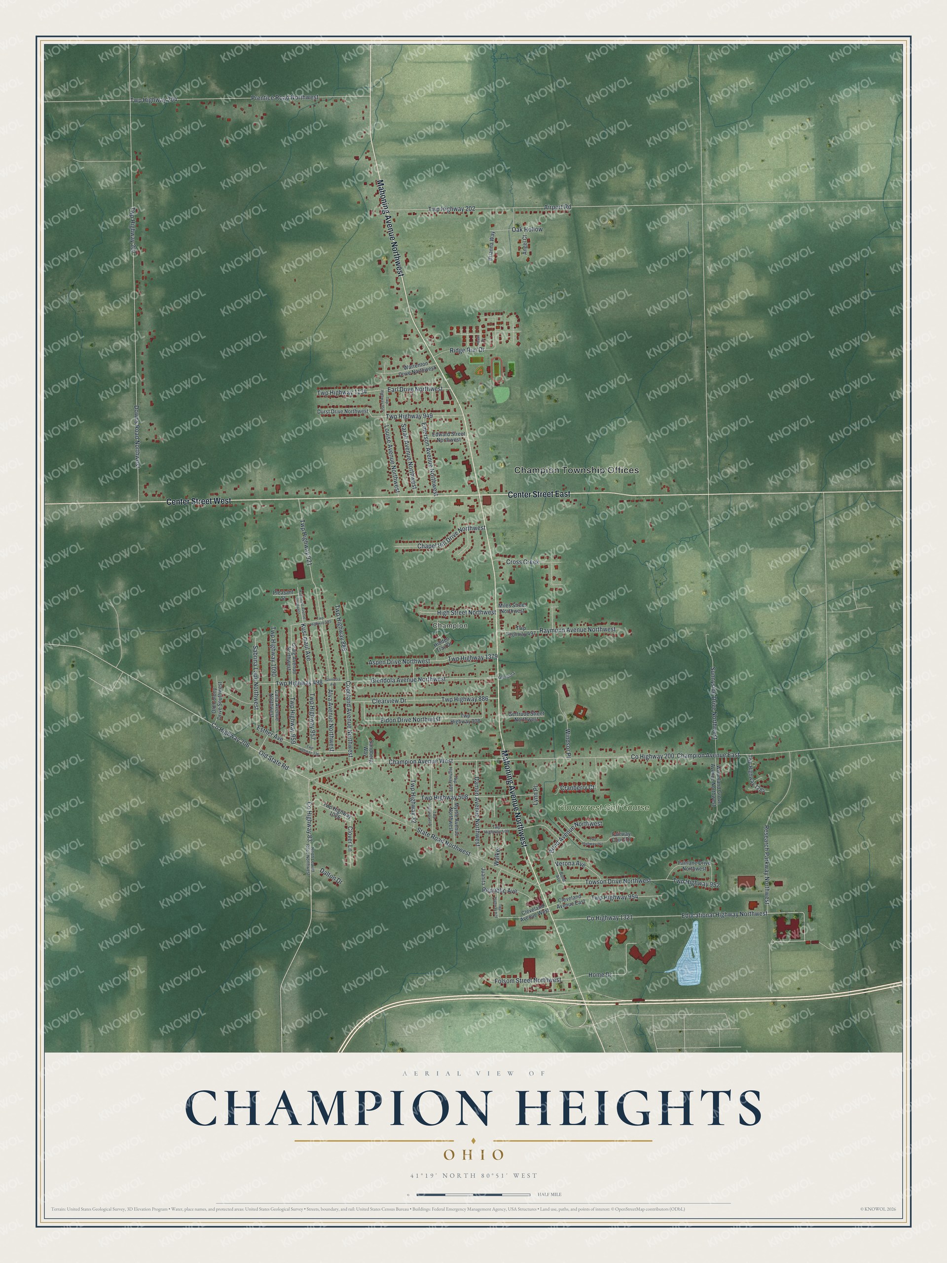
This beautifully detailed map of Champion Heights, Ohio was created in 2026 using aerial imagery combined with modern topographical, census, street and landmark data. It’s a one-of-a-kind view of Champion Heights that combines accurate data with a vintage aesthetic. The map shows every building in its true location, many of the roads carry their names, and the shaded topographic relief shows the shape of the land.
Explore an aerial view of Champion Heights, Ohio
On the map you’ll find Champion Township Offices, Champion, and Clovercrest Golf Course, along with Mahoning Avenue Northwest, Center Street West, Center Street East, Towson Drive Northwest, Twp Highway 952, Glendola Avenue Northwest, County Highway 83, County Highway 200, Downs Road Northwest, and more. If you look closely you can even find your house accurately drawn in its correct location. Zoom in on the preview to look for yours.
Did you know this piece of Champion Heights, Ohio history?
Champion Heights is named after Champion Township. This land once belonged to the Connecticut Western Reserve. General Henry Champion held much of it, and by December 1798 he owned every acre of the township. The township was named for him. A post office called Champion served the community from 1850, closing for good in 1902.
Take a closer look at the Champion Heights map
Street and place names on the Champion Heights, Ohio map
These names are printed on the map of Champion Heights, Ohio.
Places: Champion Township Offices, Champion and Clovercrest Golf Course.
Streets and roads: Mahoning Avenue Northwest, Center Street West, Center Street East, Towson Drive Northwest, Twp Highway 952, Glendola Avenue Northwest, County Highway 83, County Highway 200, Downs Road Northwest, Twp Highway 207, State Road Northwest, Champion Avenue East.
More street names, A to Z
Airport Road, Alva Avenue Northwest, Angel Court, Aspen Drive Northwest, Bond Avenue, Bond Avenue Northwest, Brianna Way, Calla Avenue Northwest, Champion Avenue West, Chapel Hill Drive Northwest, Clearview Drive, Cleveland Avenue East, Cleveland Avenue West, Clover Lane, Copeland Avenue Northwest, County Highway 206, County Highway 1321, Craig Avenue Northwest, Cranberry Court, Cross Creek, Dalton Drive, Damon Avenue Northwest, Durst Drive Northwest, Earl Drive Northwest, Educational Highway Northwest, Edward Street Northwest, Eldon Drive Northwest, Emerson Avenue Northwest, Esther Avenue, Fairlane Drive Northwest, Fairway Court Drive, Folsom Street Northwest, Gertrude Street Northwest, Glendola, Glendola Avenue, Heath Drive, Hidden Trail Drive, High Street Northwest, Home Drive, Juanita, Kuszmaul Avenue, Kuszmaul Avenue Northwest, Louise Avenue Northwest, Lynn Place, Miles Street Northwest, Myrtle Avenue Northwest, North Leavitt Road Northwest, Oak Hollow, Old Colony Drive Southwest, Old State Road, Pleasant Street, Prentice Road Northwest, Raymond Avenue Northwest, Republic Avenue, Research Parkway Northwest, Ridge Run Drive, Sabrina Lane Northwest, Sandberg Way, Sarah Avenue Northwest, Sunnyside Drive Northwest, Twp Highway 32, Twp Highway 202, Twp Highway 204, Twp Highway 336, Twp Highway 497, Twp Highway 498, Twp Highway 499, Twp Highway 508, Twp Highway 509, Twp Highway 595, Twp Highway 640, Twp Highway 757, Twp Highway 879, Twp Highway 886, Twp Highway 888, Twp Highway 908, Twp Highway 921, Twp Highway 949, Twp Highway 950, Twp Highway 954, Twp Highway 957, Twp Highway 959, Twp Highway 1026, Twp Highway 1090, Twp Highway 1134, Twp Highway 1284, Twp Highway 1379, Verona Avenue, Walker, Warrenton Drive Northwest, Windsor Place, Woodland Grove Avenue Northwest.
See the Champion Heights, Ohio map on a wall
The Champion Heights map as an 18 x 24 inch print in a black frame.

This beautifully detailed map of Champion Heights makes an attractive addition to your office, library, or den, and it can even be used to teach children the geography and history of the area. It also makes a great gift for anyone with Champion Heights roots. When you’re done exploring, click here to get your copy of the Champion Heights map.