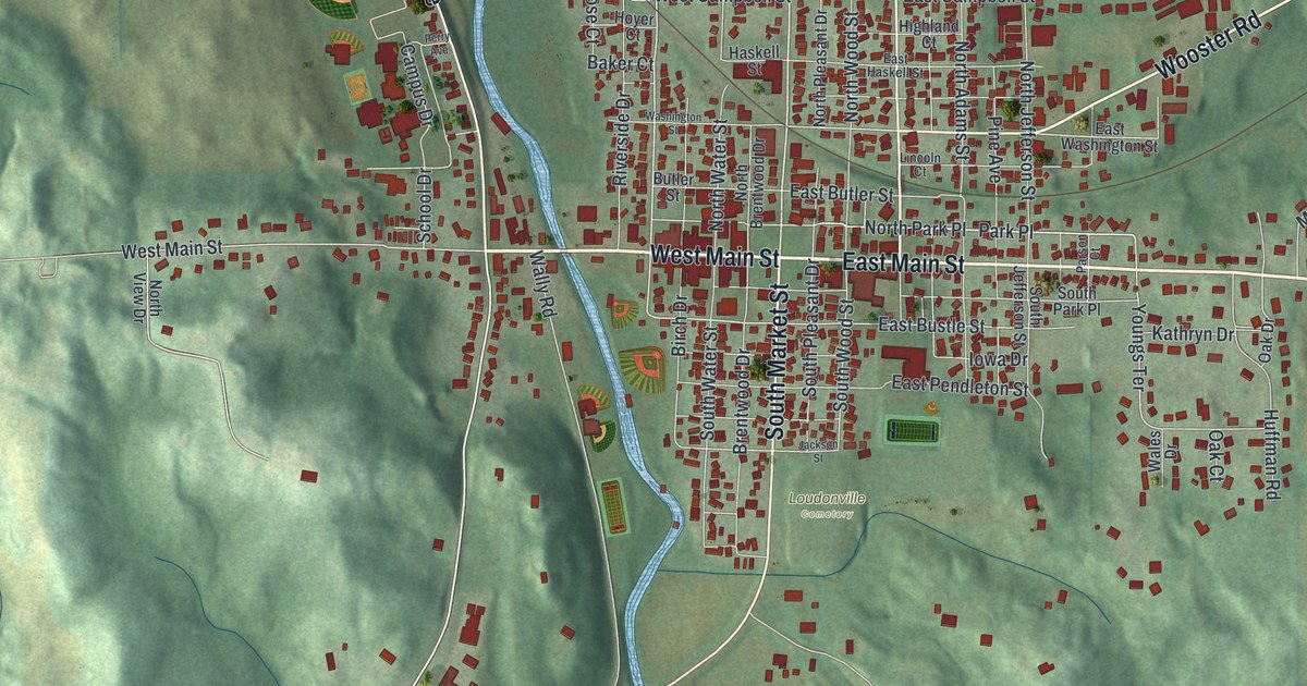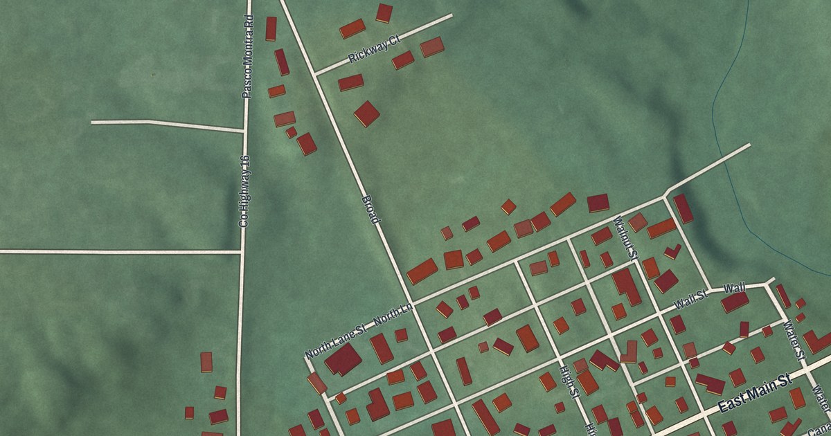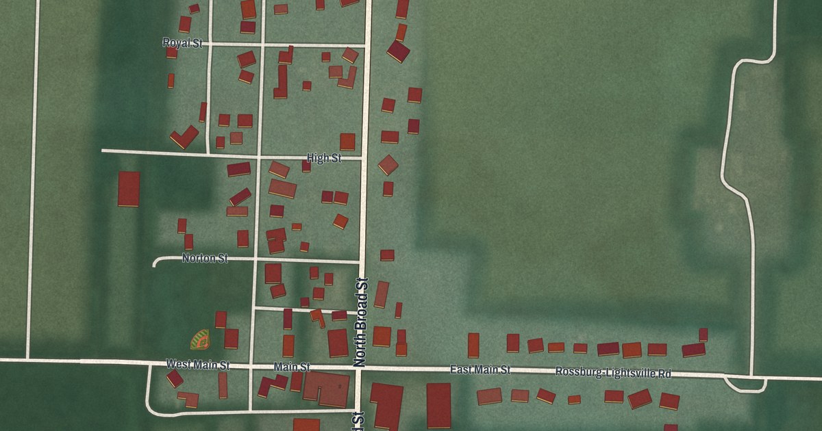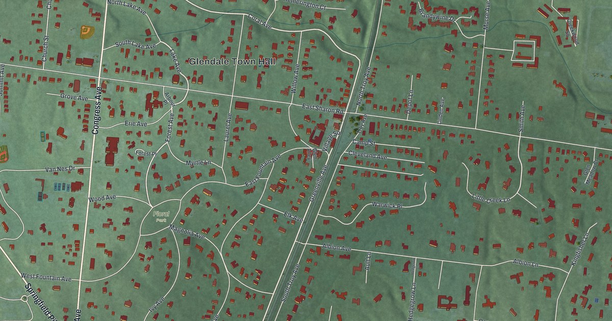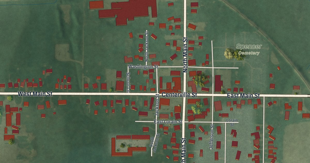
This beautifully detailed map of Spencer, Ohio was created in 2026 using aerial imagery combined with modern topographical, census, street and landmark data. It’s a one-of-a-kind view of Spencer that combines accurate data with a vintage aesthetic. The map shows every building in its true location, many of the roads carry their names, and the shaded topographic relief shows the shape of the land.
Explore an aerial view of Spencer, Ohio
On the map you’ll find Spencer Cemetery, along with South Main Street, North Main Street, Centerville Street, West Main Street, East Main Street, Spencer Road, Liberty Street, Jackson Street, Washington Street, Jefferson Street, Stuart Drive, and more. If you look closely you can even find your house accurately drawn in its correct location. Zoom in on the preview to look for yours.
Did you know this piece of Spencer, Ohio history?
From the 1881 History of Medina County and Ohio. Containing a history of the state of Ohio, from its earliest settlement to the present time ..: "Centerville, although the name of the village and post office, is scarcely ever used by the citizens; they invariable say Spencer. Soon after the township was organized, the Center was rapidly populated. A school-house was built southwest of the square; this was a frame building. A log church followed, and Elijah Banning opened the first store here. This was the first store in the township."
Take a closer look at the Spencer map
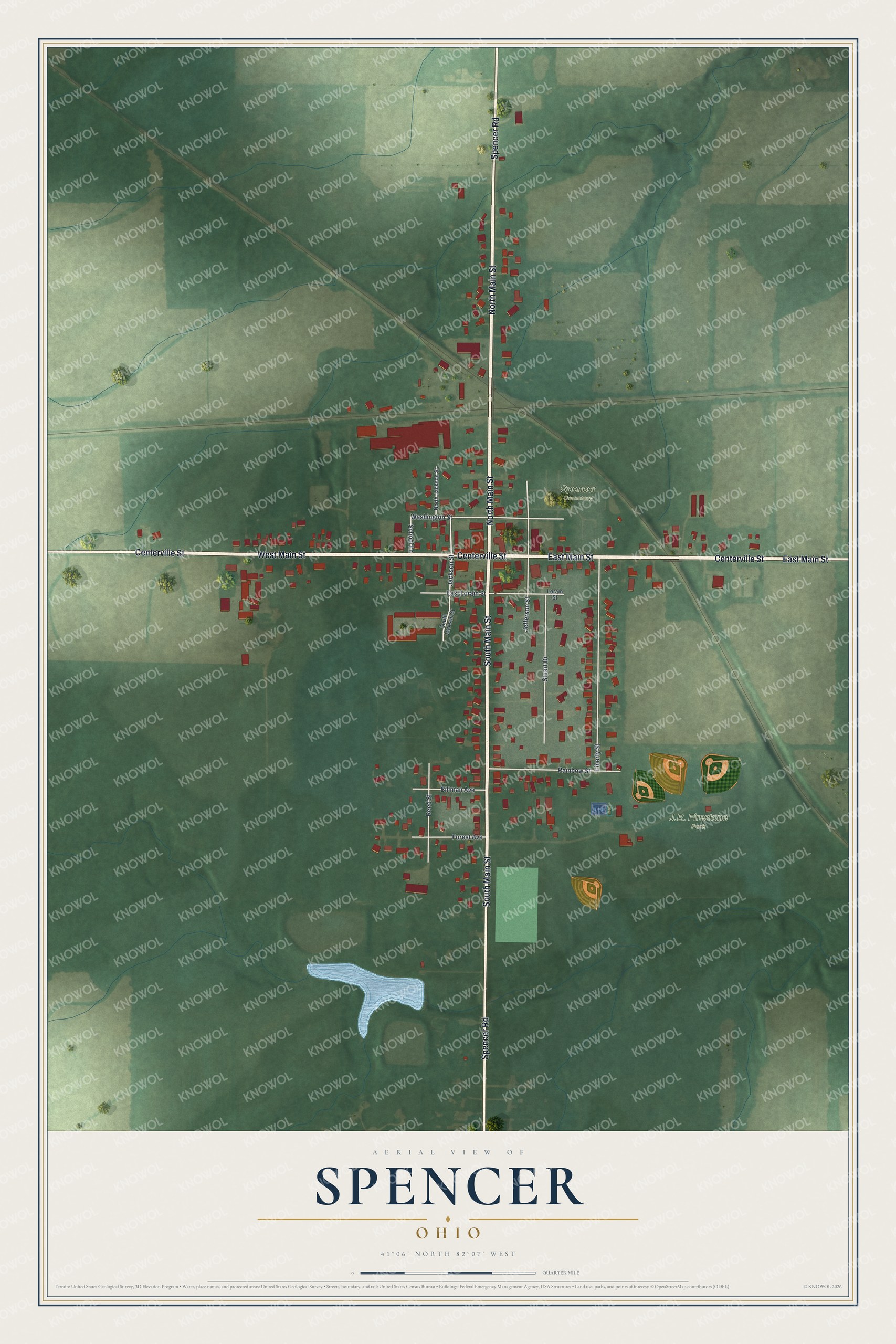
Street and place names on the Spencer, Ohio map
These names are printed on the map of Spencer, Ohio.
Places: J.B. Firestone Park and Spencer Cemetery.
Streets and roads: South Main Street, North Main Street, Centerville Street, West Main Street, East Main Street, Spencer Road, Liberty Street, Jackson Street, Washington Street, Jefferson Street, Stuart Drive, Rainbow Street.
More street names, A to Z
Billman Avenue, East Lorain Street, Forest Avenue, Lorain Street, North Jackson Street, Reed Street, School Lane, South Jackson Street.
See the Spencer, Ohio map on a wall
The Spencer map as an 18 x 24 inch print in a black frame.

This beautifully detailed map of Spencer makes an attractive addition to your office, library, or den, and it can even be used to teach children the geography and history of the area. It also makes a great gift for anyone with Spencer roots. When you’re done exploring, click here to get your copy of the Spencer map.