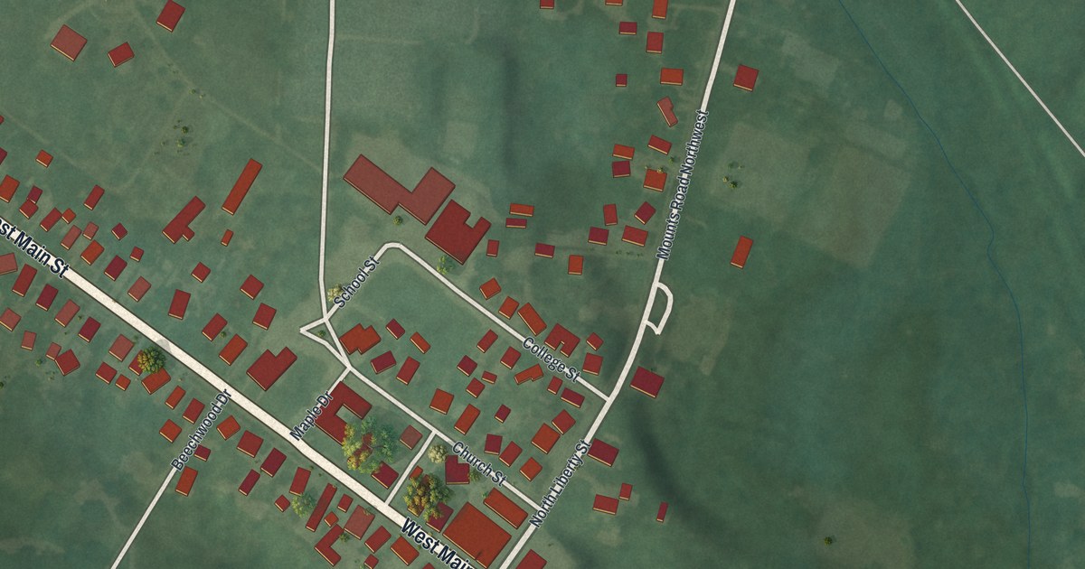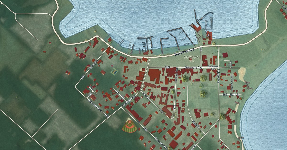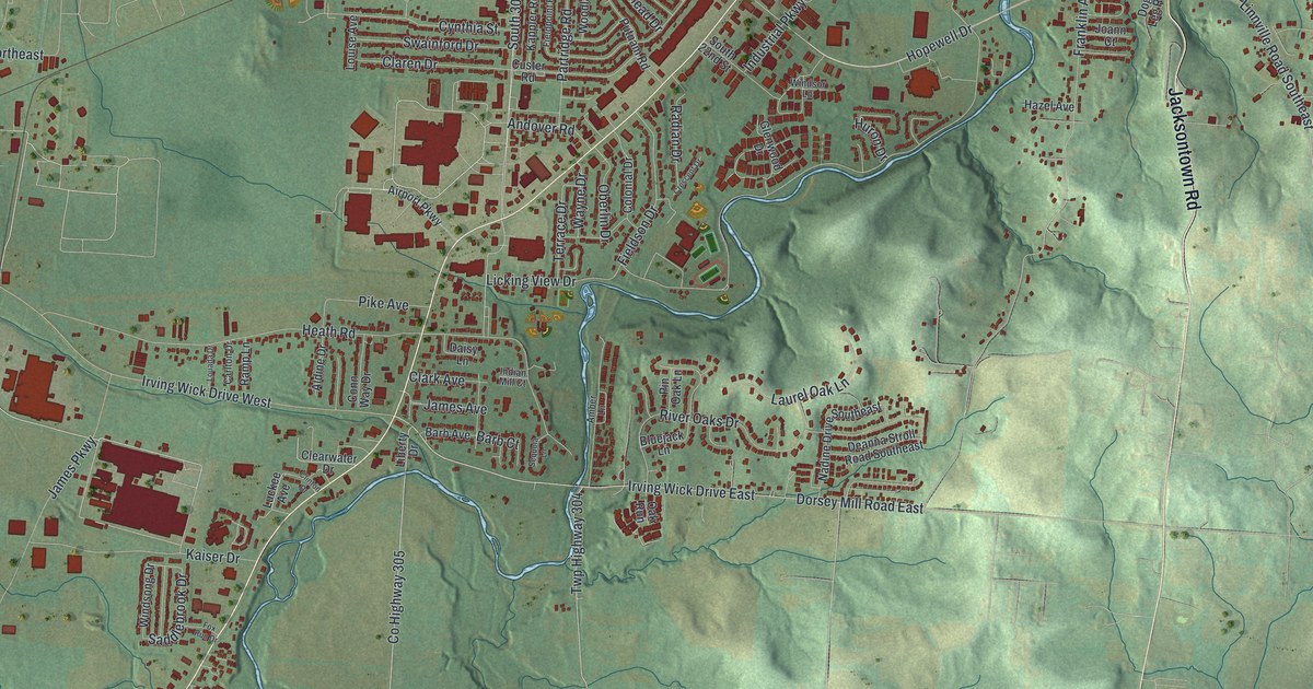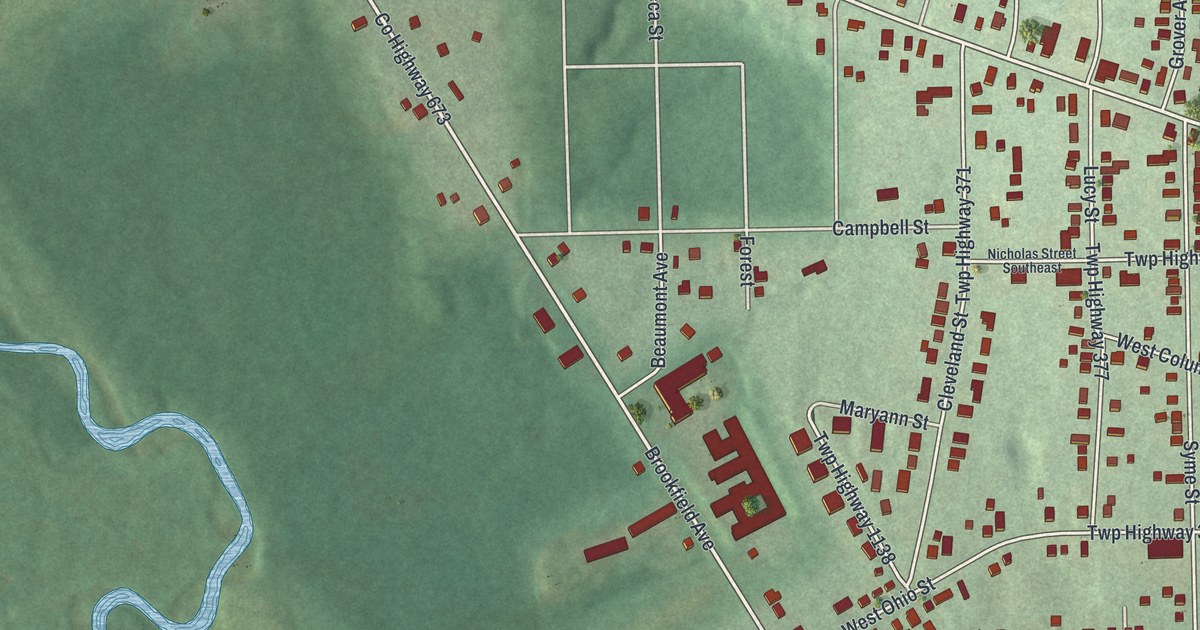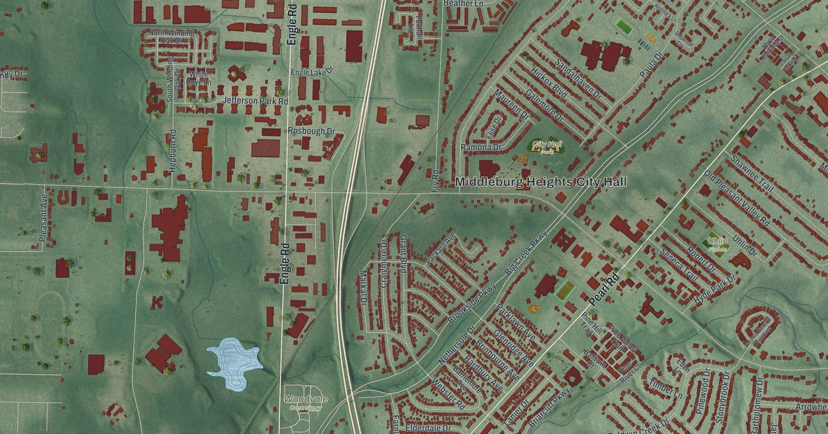
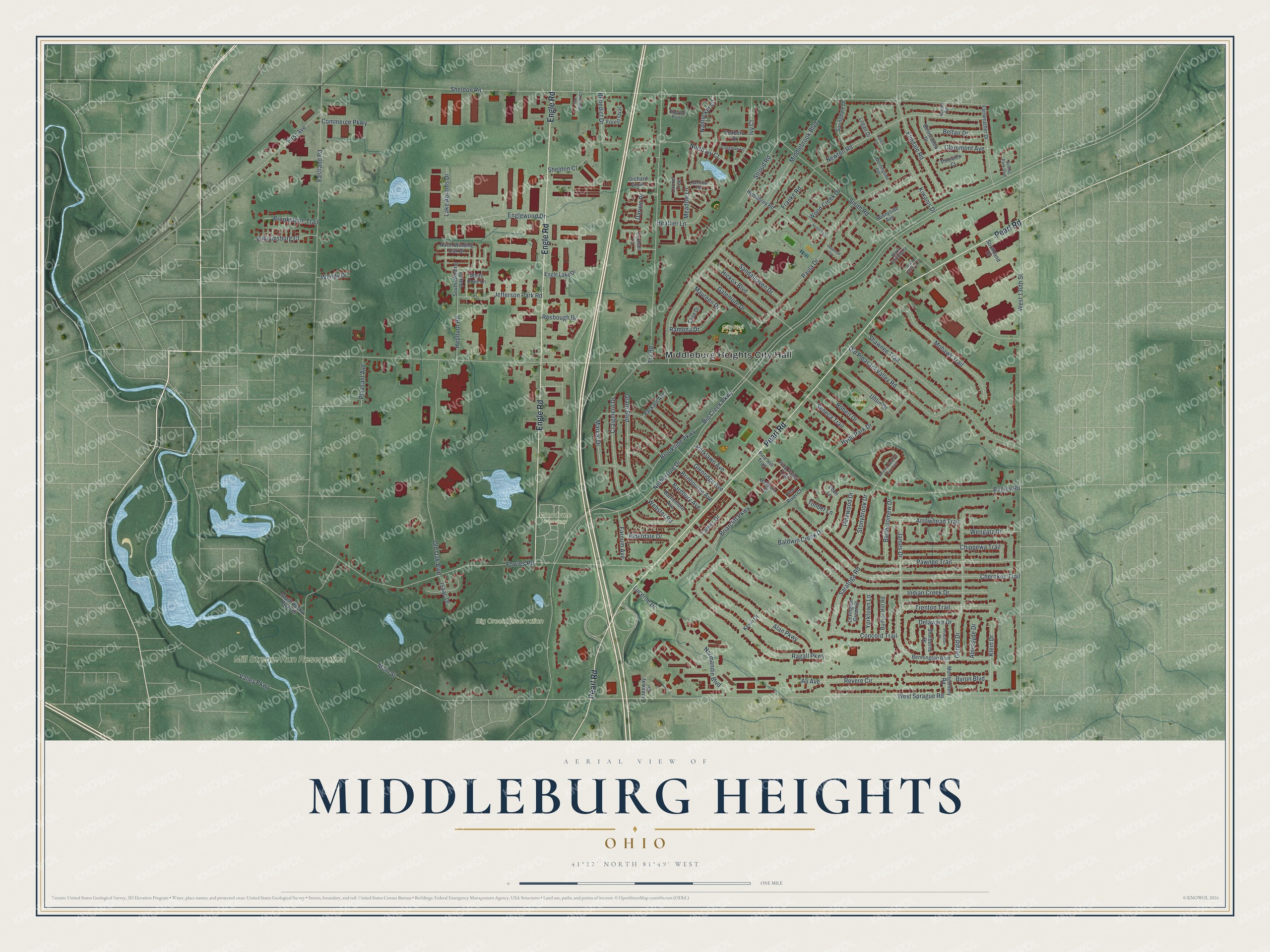
This beautifully detailed map of Middleburg Heights, Ohio was created in 2026 using aerial imagery combined with modern topographical, census, street and landmark data. It’s a one-of-a-kind view of Middleburg Heights that combines accurate data with a vintage aesthetic. The map shows every building in its true location, many of the roads carry their names, and the shaded topographic relief shows the shape of the land.
Explore an aerial view of Middleburg Heights, Ohio
On the map you’ll find Middleburg Heights City Hall, Big Creek Reservation, City Hall Park, Mill Stream Run Reservation, Woodvale Cemetery, and Uhlin Fields, along with Pearl Road, Engle Road, Nethersole Drive, Big Creek Parkway, Brookside Parkway, Bagley Road, and more. If you look closely you can even find your house accurately drawn in its correct location. Zoom in on the preview to look for yours.
Did you know this piece of Middleburg Heights, Ohio history?
In the 1920s, the village of Berea tried to annex Middleburg Township. That threat moved local people to incorporate their own village of Middleburg in 1927. Farms here had already been taken in 1925 for what became the Cleveland airport. In 1942, the federal government took 294 more acres for a bomber plant. That’s from the Encyclopedia of Cleveland History.
Take a closer look at the Middleburg Heights map
Street and place names on the Middleburg Heights, Ohio map
These names are printed on the map of Middleburg Heights, Ohio.
Places: Middleburg Heights City Hall, Big Creek Reservation, City Hall Park, Mill Stream Run Reservation, Woodvale Cemetery and Uhlin Fields.
Streets and roads: Pearl Road, Engle Road, Nethersole Drive, Big Creek Parkway, Brookside Parkway, Bagley Road, Sheldon Road, West 130th Street, West Sprague Road, Smith Road, Webster Road, Eastland Road.
More street names, A to Z
Alan Parkway, Aldersyde Drive, Ali Avenue, Arrowhead Trail, Baldwin Court, Baldwin Creek Drive, Baldwin Reserve Drive East, Bardbury Avenue, Barriemore Avenue, Bartholomew Drive, Belfair Drive, Belmeadow Drive, Benedict Drive, Bennington Boulevard, Briarcliff Parkway, Brinbourne Avenue, Brookstone Trail, Bunker Hill Road, Byron Boulevard, Cherokee Trail, Chippewa Trail, Claremont Avenue, Commerce Parkway, Concord Trail, Craigmere Drive, Darwin Place, Delaware Drive, Dogwood Circle, Eden Lane, Elderdale Drive, Elise Drive, Elmdale Road, Emerald Point, Engle Lake Drive, Englewood Drive, Fairweather Drive, Farnum Avenue, First Avenue, Forest Oval, Fowles Road, Foxglove Lane, Foxhall Lane, Fox Hollow Court, Franke Road, Freeway Circle, Fry Road, Galemore Drive, Gerald Drive, Glenridge Avenue, Grant Boulevard, Heather Lane, Hemlock Lane, Hepburn Road, Herold Road, Hickox Boulevard, Humphrey Road, Hyde Park Drive, Indian Creek Drive, Isaac Drive, Ivy Court, James Drive, Jefferson Park Road, Kevin Drive, Kiwanis Drive, Klein Drive, Lake Abrams Drive, Lakeview Terrace, Lanier Drive, Lares Lane, Laurel Trce, Lexington Green Street, Logan Drive, Lucerne Drive, Main Street, Markal Drive, Maureen Drive, Meadow Lane, Middlebrook Boulevard, Mohawk Trail, Montgomery Road, Morningside Avenue, Nantucket Lane, Newton Road, Normandie Boulevard, North Ivy Court, North Parkway Drive, North Winding Oak Drive, Old Oak Boulevard, Old Pleasant Valley Road, Orchard Grove, Packard Avenue, Parklawn Avenue, Paula Drive, Pawnee Trail, Pine Hill Trail, Pine River Court, Pine Valley Trail, Pineview Court, Pinewood Drive, Pleasant Avenue, Princeton Place, Ragall Parkway, Ramona Drive, Revere Circle, Robert Drive, Rosbough Drive, Roxboro Drive, Sandalhaven Drive, Saratoga Road, Scenic Park Oval, Seneca Trail, Shawnee Trail, Shelburne Drive, Sheldon Court, Southland Drive, South Parkway Drive, South Rocky River Drive, South Winding Oak Drive, Springdale Drive, Stonybrook Drive, Stroud Road, Sunnyside Avenue, Timber Lane, Trenton Trail, Uhlin Drive, Valley Parkway, Wendy Drive, Wengatz Drive, White Dove Lane, Williamsburg Court, Wood Creek Drive, Yorktown Lane.
See the Middleburg Heights, Ohio map on a wall
The Middleburg Heights map as an 18 x 24 inch print in a black frame.

This beautifully detailed map of Middleburg Heights makes an attractive addition to your office, library, or den, and it can even be used to teach children the geography and history of the area. It also makes a great gift for anyone who grew up in Middleburg Heights or moved away. When you’re done exploring, click here to get your copy of the Middleburg Heights map.