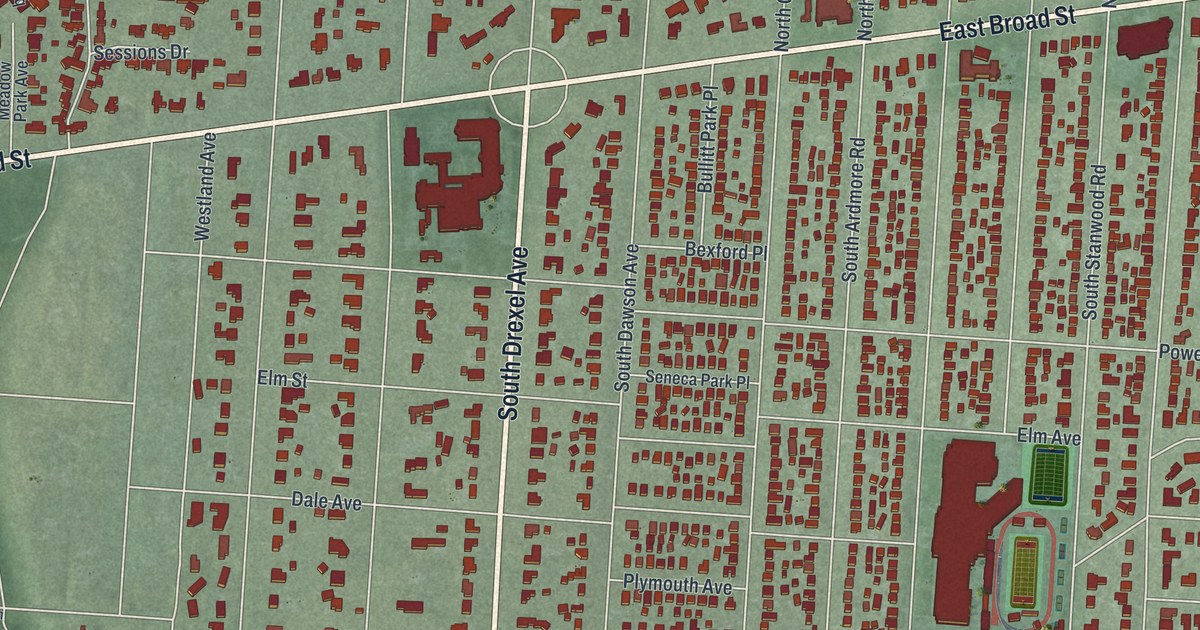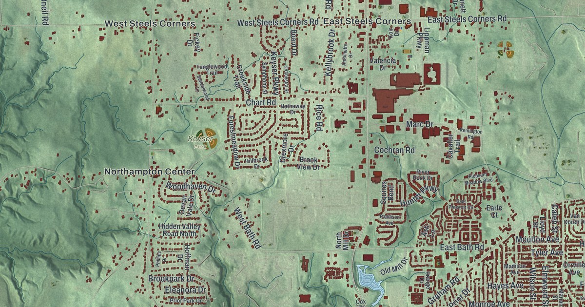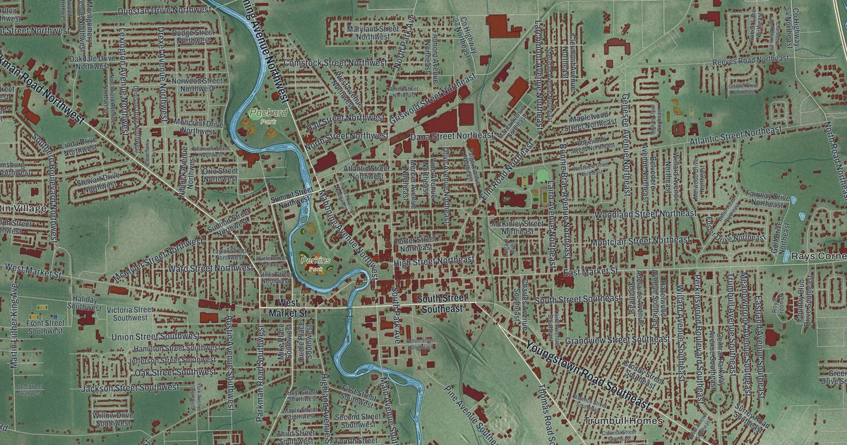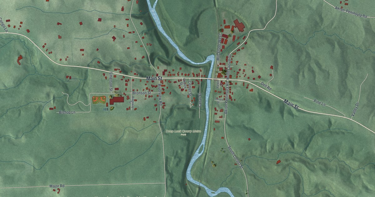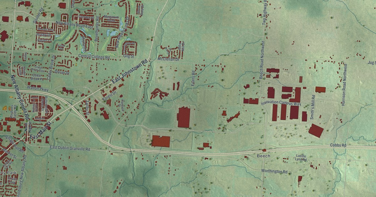
If you grew up in New Albany, look for your old neighborhood on this print. It's a modern aerial view of New Albany in Franklin County, Ohio, made with modern data and a vintage feel. Red building shapes trace the blocks around East Main Street. Green land, thin blue streams, and winding streets fill the wider view.
New Albany streets and Archibald's Mill
On this map you'll find East Main Street, Market Street, North High Street, East Johnstown Road, Kitzmiller Road, Fodor Road, Central College Road, Smith's Mill Road, Walton Parkway, Planters Grove, Ealy Crossing, and more. Each red shape is a building, so zoom in on the preview and look for yours.
Kitzmiller Road gives you a place to start with an older New Albany story. The Archibald's Mill historical marker at 6000 Kitzmiller Road tells how Archibald Smith began a sawmill in 1833. He chose a spot nearby where a small stream enters Blacklick Creek. That July, a flood destroyed his work. He kept at it and finished the mill the next year. As he cleared land to farm, the mill sawed the felled trees into lumber. His son, Dr. Isaac Newton Smith, later called it the first mill on Blacklick Creek. He recalled local mills taking in oak, butternut, chestnut, and walnut timber.
Keep New Albany close

Created by KNOWOL in 2026, this print pairs soft green terrain with red buildings and fine blue waterways. A cream border surrounds the view. The title panel reads AERIAL VIEW OF, NEW ALBANY, OHIO, with 40°05' NORTH 82°46' WEST below.
Hang it in a living room, home office, or entryway. It's a thoughtful gift for someone who grew up in Planters Grove or moved away from New Albany. Open the preview and take a closer look at the streets you know. See sizes and frames for the New Albany map.