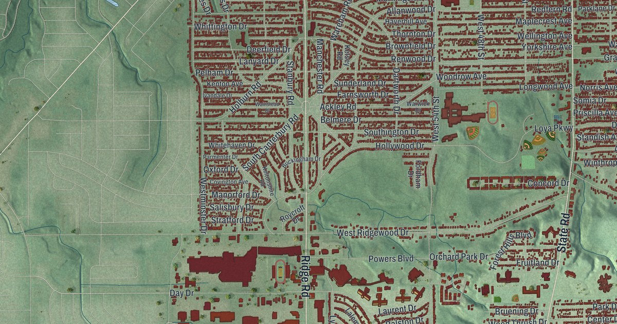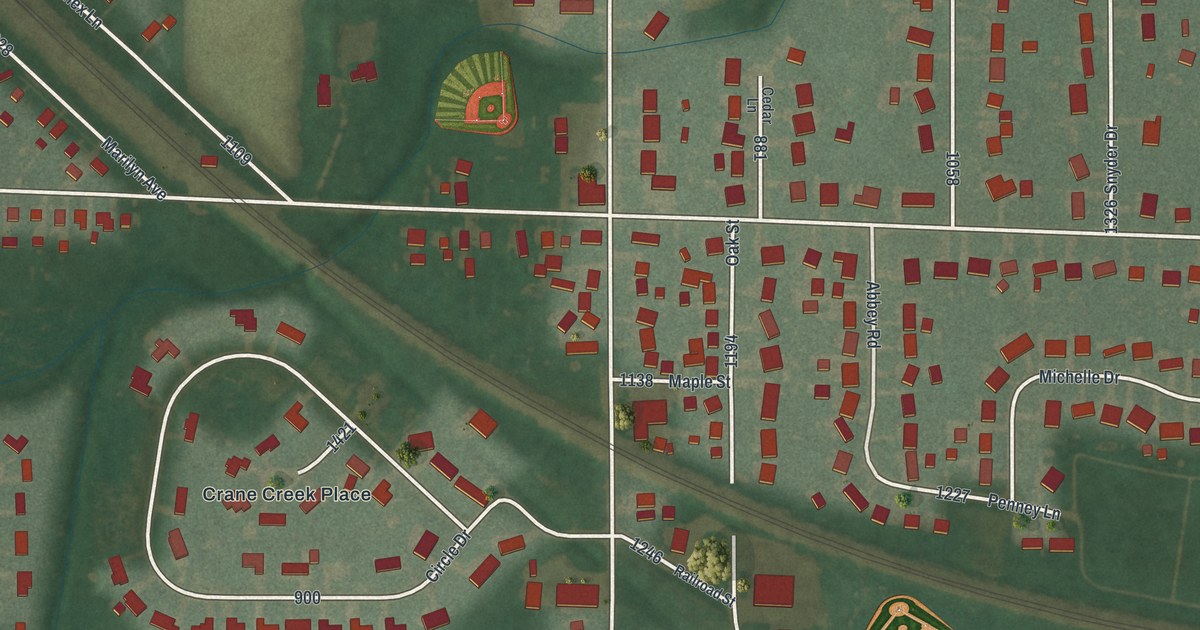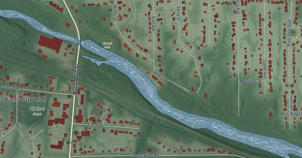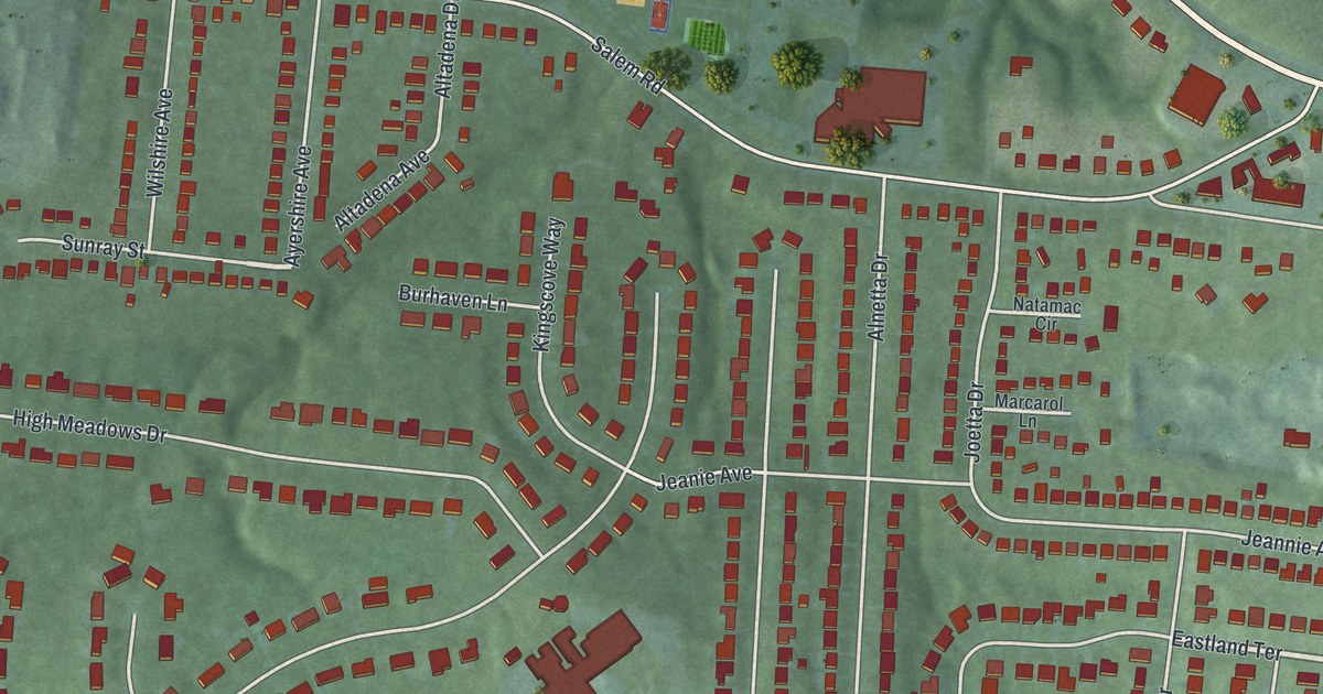
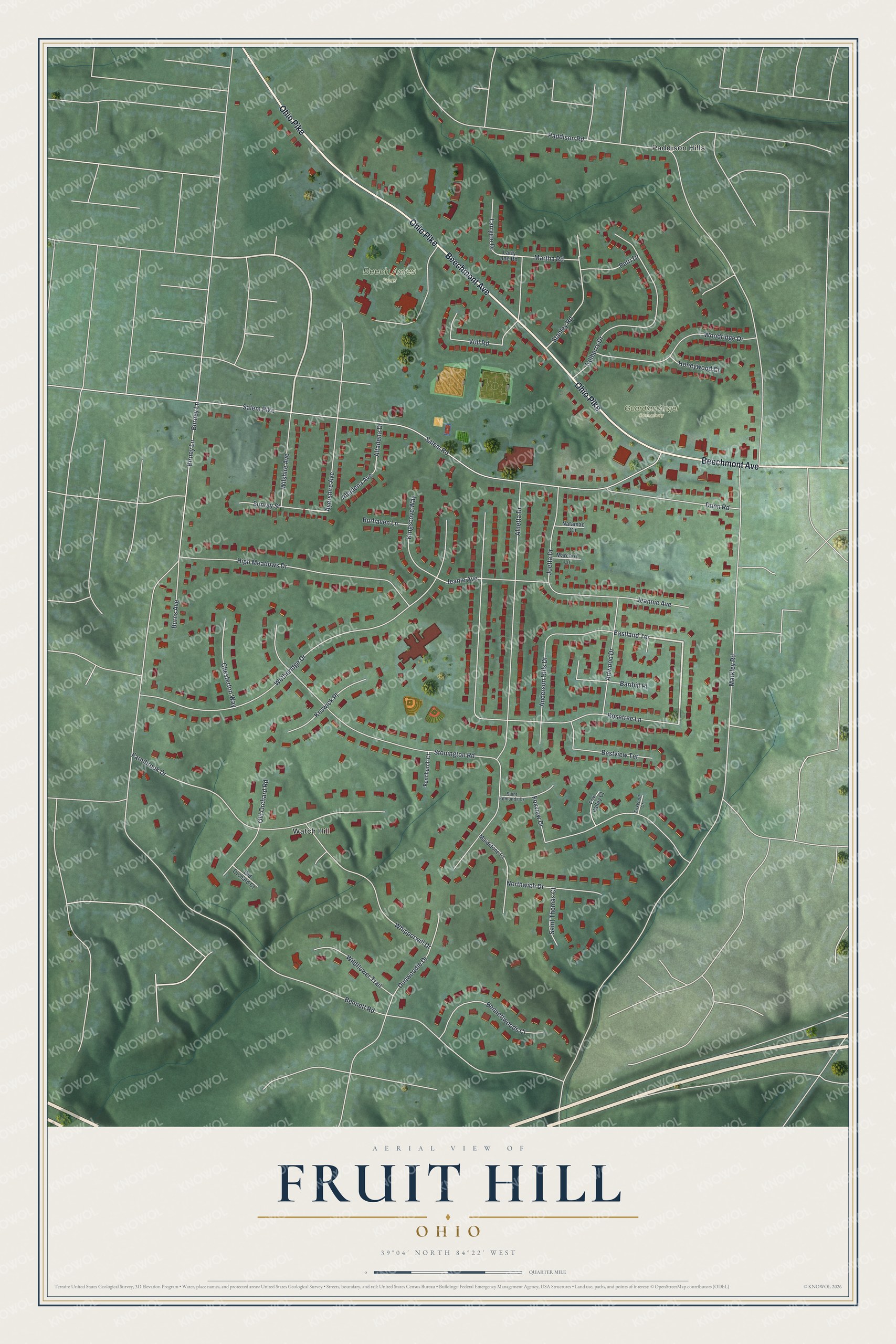
This beautifully detailed map of Fruit Hill, Ohio was created in 2026 using aerial imagery combined with modern topographical, census, street and landmark data. It's a modern aerial view of Fruit Hill in Hamilton County, Ohio, that combines modern data with a vintage aesthetic. The roads feature printed names, and if you look closely you can find your exact house accurately shown in its correct location.
Explore an aerial view of Fruit Hill, Ohio
On this map you'll find Beech Acres Park, Guardian Angel Cemetery, Watch Hill, Paddison Hills, Beechmont Avenue, Ohio Pike, Eastland Terrace, Markley Road, Paddison Road, Bennett Road, Salem Pike, Salem Road, and more. Each red shape is a building, so zoom in on the preview and look for yours.
Fruit Hill is a community in Hamilton County. The Census Bureau counted 3,748 people here in 2020. The map prints the town name in its title panel, with the coordinates below it.
Take a closer look at the Fruit Hill map
Names on this map
These names are printed on this map.
Places: Beech Acres Park, Guardian Angel Cemetery, Watch Hill and Paddison Hills.
Streets and roads: Beechmont Avenue, Ohio Pike, Eastland Terrace, Markley Road, Paddison Road, Bennett Road, Salem Pike, Salem Road, Stonington Road, Rosetree Lane, Birney Lane, Wetheridge Drive.
More street names, A to Z
Alnetta Drive, Altadena Avenue, Altadena Drive, Anderson Hills Drive, Artwood Drive, Ayershire Avenue, Baribill Place, Bennettwoods Court, Bestview Terrace, Burhaven Lane, Burney Lane, Burns Avenue, Chesterton Way, Dunn Road, Dunwoodie Drive, Farmbrook Drive, Fenchurch Court, Foxknoll Court, Fox Valley Court, Foxview Drive, High Meadows Drive, Honeywood Court, Jeanie Avenue, Jeannie Avenue, Joetta Drive, Keswick Place, Kingscove Way, Larryjoe Drive, Larry Joe Road, Maidstone Court, Marcarol Lane, Martha Road, Natamac Circle, Northwich Drive, Old Orchard Court, Old Orchard Road, Petri Drive, Saint Edmunds Drive, Saint Thomas Court, Stanley Road, Sunray Street, Tallberry Drive, Voll Road, Whipporwill Drive, Wildflower Trail, Wilshire Avenue, Woodridge Drive.
See it on a wall
The Fruit Hill map as a framed print. Swipe for more.


Created by KNOWOL in 2026. The buildings are small red shapes, the roads carry their printed names, and shaded relief shows the shape of the land. The title panel reads "AERIAL VIEW OF FRUIT HILL, OHIO" with 39°04' NORTH 84°22' WEST.
It looks right in a kitchen, an office or a den, and it's a gift for anyone who grew up in Fruit Hill or moved away. Open the preview and find your street. See sizes and frames for the Fruit Hill map.