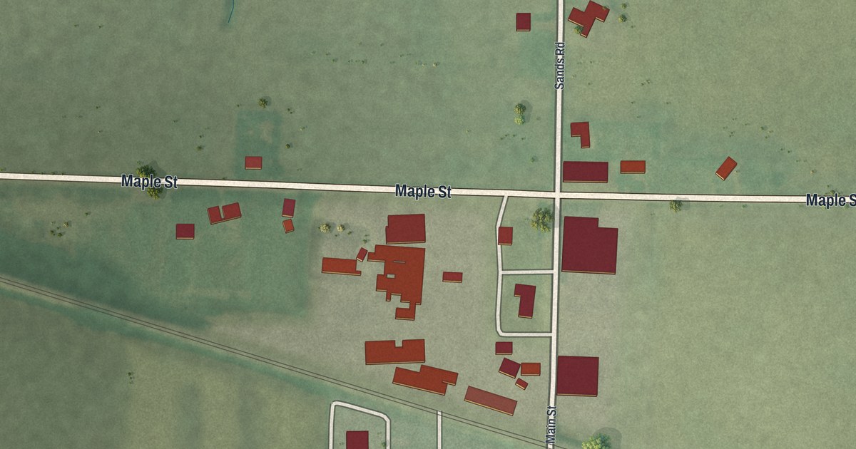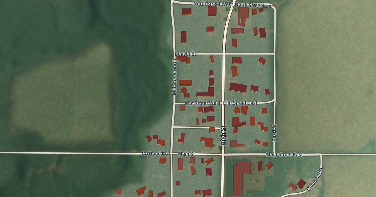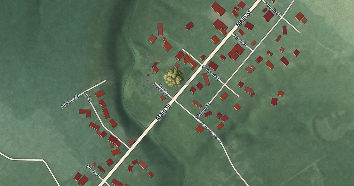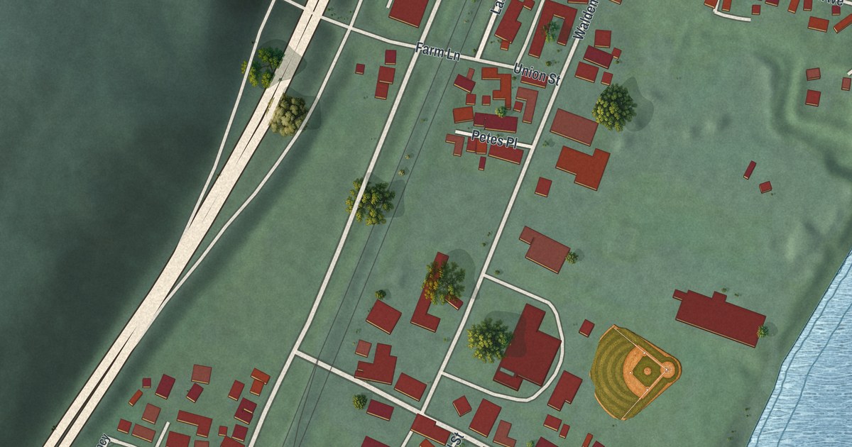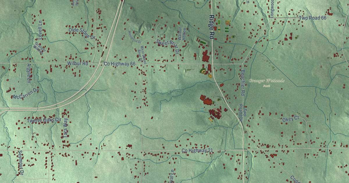
This beautifully detailed map of Granger, Ohio was created in 2026 using aerial imagery combined with modern topographical, census, street and landmark data. It’s a one-of-a-kind view of Granger that combines accurate data with a vintage aesthetic. The map shows every building in its true location, many of the roads carry their names, and the shaded topographic relief shows the shape of the land.
Explore an aerial view of Granger, Ohio
On the map you’ll find Coddingville, Remsen Corners, Youngs Corners, Allardale Park, Granger Wetlands Park, and Windfall, along with Ridge Road, Medina Road, North Medina Line Road, County Highway 2, Granger Road, Twp Highway 249, and more. If you look closely you can even find your house accurately drawn in its correct location. Zoom in on the preview to look for yours.
Did You Know?
From Internet Archive: "Some account of Granger, its settlement, business, and more prominent residents may be attempted by the writer in the near future."
Granger is a community in Medina County.
Take a closer look at the Granger map
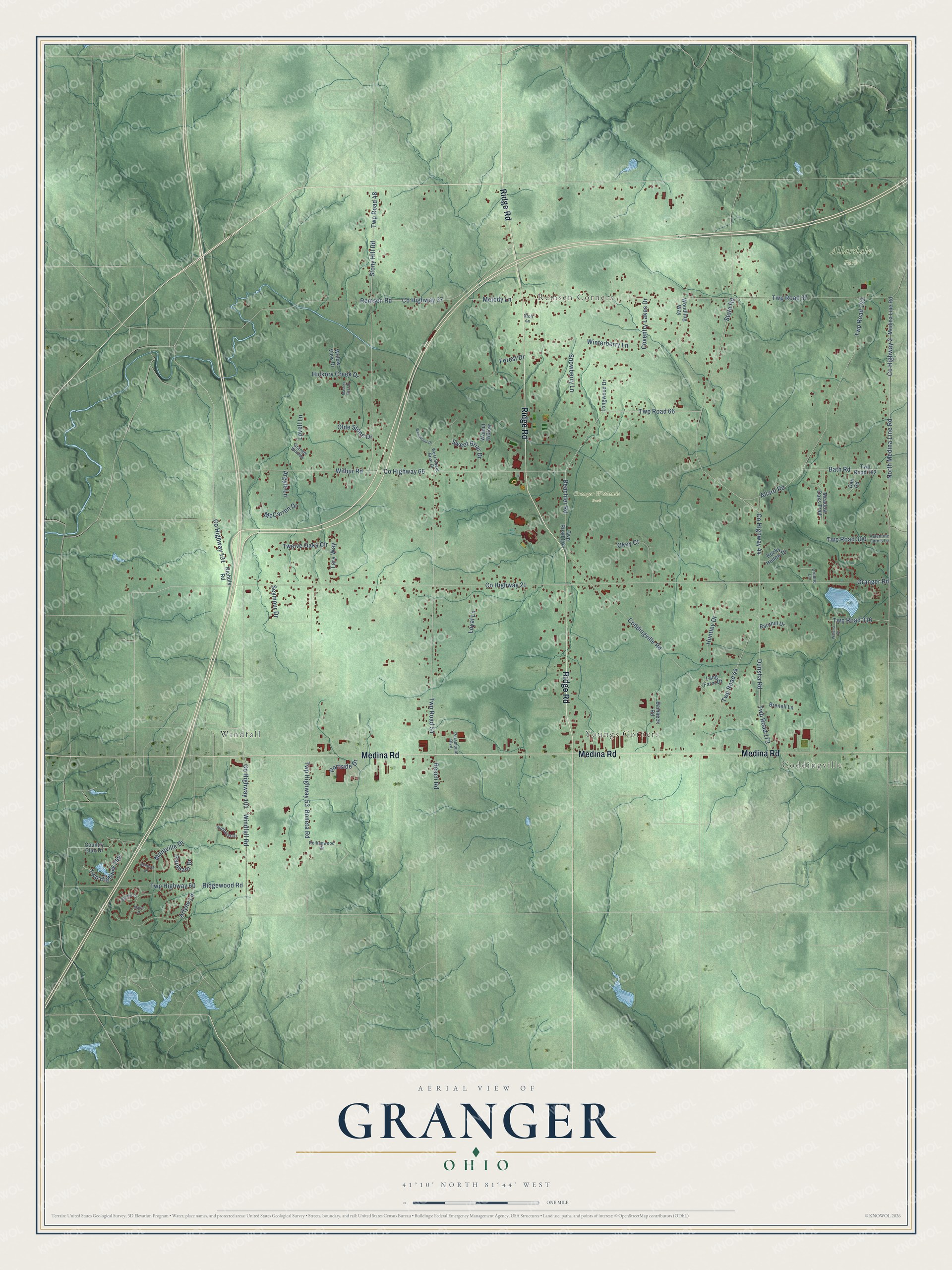
Names on this map
These names are printed on this map.
Places: Coddingville, Remsen Corners, Youngs Corners, Allardale Park, Granger Wetlands Park and Windfall.
Streets and roads: Ridge Road, Medina Road, North Medina Line Road, County Highway 2, Granger Road, Twp Highway 249, County Highway 21, County Highway 37, Beachler Road, Windfall Road, County Highway 101, County Highway 44.
More street names, A to Z
Allard Road, Argyle Lane, Arlyne Lane, Bambeck Road, Barnhill Drive, Bath Road, Beach Road, Benwick Drive, Boneta Road, Bonnie Court, Brenell Lane, Coddingville Road, Country Club Drive, County Highway 66, County Highway 131, Coventry Lakes Drive, Dan Road, Druerie Lane, Dunsha Road, Forest Drive, Granger Willows, Hickory Creek Drive, Huntley Drive, Lang Farm Drive, Longwood Drive, Lovell Lane, Loyal Lane, Marla Court, Masons Rest Drive, McCarren Drive, Meadow Oaks Trail, Medina Line Road, Melody Lane, Montville Drive, Nichols Road, Okey Court, Olde Stone Drive, Paramount Boulevard, Parnham Drive, Portside Drive, Remsen Road, Ridgewood Road, Rocky Hollow Drive, Rollingwood Drive, Seymour Drive, Snowberry Lane, State Road, Stoll Lane, Stony Hill Road, Sunburst Drive, Sweet Briar Drive, Tara Way, Twelve Oaks Circle, Twp Highway 53, Twp Highway 60, Twp Road 37, Twp Road 44, Twp Road 48, Twp Road 54, Twp Road 66, Twp Road 122, Twp Road 173, Twp Road 174, Twp Road 182, Twp Road 300, Twp Road 316, Valentine Farms Lane, Walena Drive, Walnut Hollow, West Sweet Briar Drive, Westwood Drive, Wilbur Road, Willow View Drive, Winterberry Lane, Woodling Way.
See it on a wall
The Granger map as a framed print. Swipe for more.


This beautifully detailed map of Granger makes an attractive addition to your office, library, or den, and it can even be used to teach children the geography and history of the area. It also makes a great gift for anyone with Granger roots. When you’re done exploring, click here to get your copy of the Granger map.