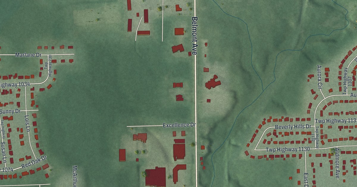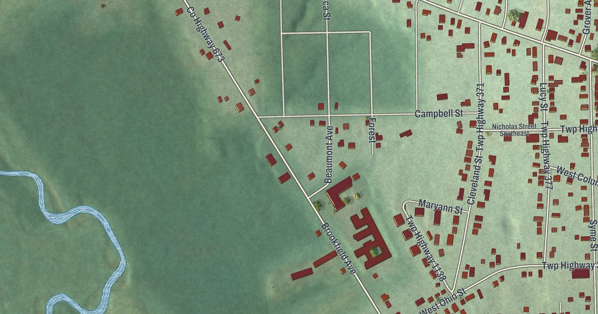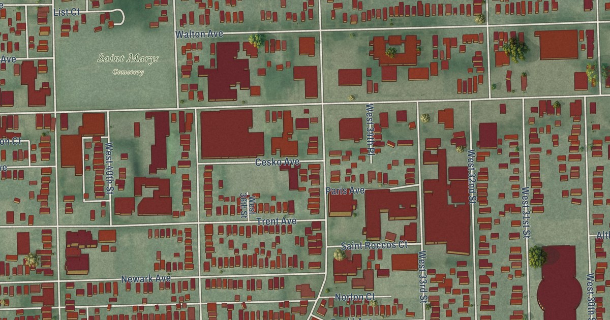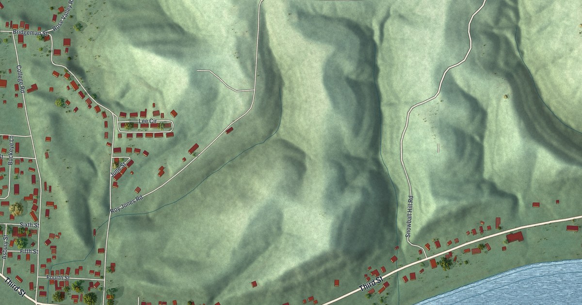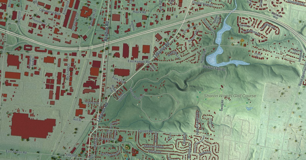
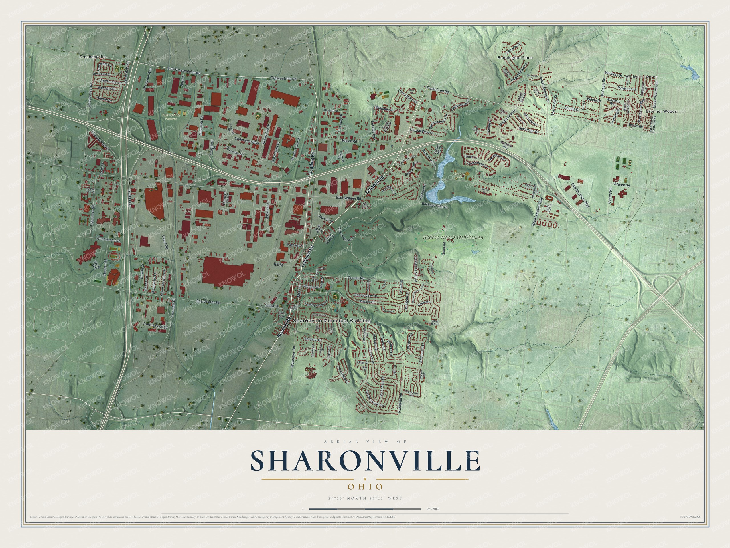
This beautifully detailed map of Sharonville, Ohio was created in 2026 using aerial imagery combined with modern topographical, census, street and landmark data. It’s a one-of-a-kind view of Sharonville that combines accurate data with a vintage aesthetic. The map shows every building in its true location, many of the roads carry their names, and the shaded topographic relief shows the shape of the land.
Explore an aerial view of Sharonville, Ohio
On the map you’ll find Sharonville Municipal Building, Brenner Woods, Wildwood Acres, Twin Creek Preserve, Kemper Park, Bennington Place, Crescentville, and Sharon Woods Golf Course, along with Reading Road, Lebanon Road, Fields Ertel Road, Crescentville Road, and more. If you look closely you can even find your house accurately drawn in its correct location. Zoom in on the preview to look for yours.
Did you know this piece of Sharonville, Ohio history?
From the History of Hamilton County: "The post office, anciently Sharonville, was discontinued some time before 1840, but has since been restored under the same name."
Take a closer look at the Sharonville map
Street and place names on the Sharonville, Ohio map
These names are printed on the map of Sharonville, Ohio.
Places: Sharonville Municipal Building, Brenner Woods, Wildwood Acres, Twin Creek Preserve, Kemper Park, Bennington Place, Crescentville and Sharon Woods Golf Course.
Streets and roads: Reading Road, Lebanon Road, Fields Ertel Road, Crescentville Road, Cornell Road, Centerdale Road, Indian Springs Drive, Wilma Drive, Main Street, Crowne Point Drive, McCauly Road, East Kemper Road.
More street names, A to Z
Alba Court, Algiers Drive, Allenhurst Boulevard West, Amelia Drive, Aztec Court, Bainbridge Drive, Bath Court, Beacon Hills Drive, Beavercreek Circle, Beekley Woods Drive, Benkert Drive, Bennington Drive, Best Place, Big Ben Court, Bridlepath Lane, Buckeye Falls Drive, Burke Avenue, Butler Warren County Line Road, Butler Warren Road, Canal Road, Carpol Street, Carriagelite Drive, Champion Way, Chesterdale Road, Chester Road, Circlefield Drive, Commerce Boulevard, Commodity Circle, Concerto Drive, Conrey Road, Continental Drive, Copperfield Drive, Cottingham Drive, Cragview Court, Creek Road, Crossing Drive, Crown Court, Crystal View Court, Dexter Park Boulevard, Diamondview Drive, Dowlin Drive, East Business Way, East Crescentville Road, East Sharon Road, Edgewood Lane, Elljay Drive, Enclave Avenue, Enterprise Drive, Enterprise Park Drive, Evendale Drive, Executive Park Drive, Falling Creek Court, Fawnvista Lane, Fernhill Drive, Freightliner Drive, Gareth Lane, Golden Hill Drive, Gondola Street, Great Oaks Drive, Greenwood Avenue, Hageman Street, Hauck Road, Hawk Street, Highbanks, Highway Drive, Hill Street, Honeywell Drive, Indian Bluff Lane, Indian Walk Drive, Island Grove Drive, Jane Court, Jeff Lane, Julianne Drive, Lemarie Drive, Lippelman Road, Lord Alfred Court, Lupine Drive, Macar Drive, Malaer Drive, Mallard Cove Drive, Maple Avenue, Maple Street, Maywood Drive, Meadow Bluff Lane, Mefford Lane, Midpines Drive, Mosteller Road, Moubray Drive, Mount Vernon Drive, Mulligan Street, Mustafa Drive, Oak Street, Ohio Avenue, Oliver Court, Parfour Court, Park 42 Drive, Partnership Way, Plainfield Road, Pond Woods Lane, Prince Lane, Providence Way, Reed Hartman Highway, Robindale Drive, Rockfield Court, Scarlet Oaks Drive, School Road, Service Road, Sharondale Road, Sharon Knoll Court, Sharon Meadows Drive, Sharon Park Lane, Sharon Road, Sharonview Drive, Sharon Woods Drive, Skate Court, Softspring Drive, South Pines Drive, Sovereign Drive, Squirehill Court, Stonecreek Way, Surfwood Lane, Swing Road, Tennyson Drive, Terry Lane, Thames Place, Thornview Drive, Timber Ridge Lane, Tramway Drive, Triangle Park Drive, Valdosta Drive, Verbena Drive, Victorian Way, Viking Way, Village Woods Drive, Walnut Street, Wenbrook Drive, Whisper Way, Willfleet Drive, Windword Way, Woodsview Lane, Woodward Lane, Wyscarver Road, Ymca Drive, Zind Lane.
See the Sharonville, Ohio map on a wall
The Sharonville map as an 18 x 24 inch print in a black frame.

This beautifully detailed map of Sharonville makes an attractive addition to your office, library, or den, and it can even be used to teach children the geography and history of the area. It also makes a great gift for someone who left Sharonville and still calls it home. When you’re done exploring, click here to get your copy of the Sharonville map.