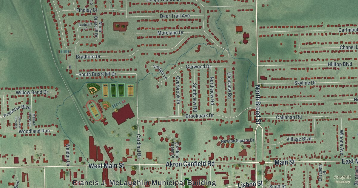
If you grew up in Canfield, or still have family on the streets off Broad Street, this map gives you a lot to find. It's a modern aerial view of Canfield in Mahoning County, Ohio, made from modern data with a vintage feel. North Broad Street and South Broad Street run straight down the middle of the sheet. Main Street crosses them right in the center of town. Nearly 4,900 buildings are drawn in dark red on soft, shaded green. Curving streets of homes fill the upper left, and open country wraps around the edges. Explore the print options for Canfield.
Broad Street, Main Street and Canfield Cemetery
Start in the middle of the sheet, where North Broad Street meets Main Street. Head west, and the printed name changes to Akron Canfield Road. The Francis J. McLaughlin Municipal Building is labeled just below it. Farther west, it becomes West Main Street. Now go back to the center and follow South Broad Street down. Lisbon Street angles off to the southwest near the top of it. Keep going south, and Fair Street and Fair Park are printed just to the west. Back at the center, Main Street heads east and turns into East Main Street. Canfield Cemetery is printed just off it. For the north side, take North Broad Street up to Herbert Road. Hilltop Boulevard and Skyline Drive branch off to the east on the way. Up in the top left, look for Timber Run Drive and Lake Wobegon Drive. Many of the roads are labeled, and each red shape is a building, so zoom in on the preview and look for yours.
Canfield was planned around a town green. The marker for the Canfield Green says surveyor Nathaniel Church came from Connecticut on April 20, 1798. His team built a log cabin. Then they laid out roads and lots around a shared green in the center, the way New England towns did it. The town took its name from Judson Canfield, the main landowner. In the War of 1812, militia drilled on the green. On August 23, 1812, General Elijah Wadsworth and the Canfield Dragoons rode off from it toward Cleveland.
Across South Broad Street from the green, the village's first church went up in 1822. It was the Canfield Congregational Church. In 1837, Reverend Miller of the Poland Methodist Church gave a speech there against slavery. A rowdy group from out of town threw eggs onto the pulpit. Then they waited outside with tar and feathers. The women of the church hurried him out the back door to his horse and buggy, and he got away safe. The church's historical marker says the Bible with egg on it is shown in the church today. The green isn't labeled on the map. To find the spot, follow South Broad Street just below Main Street, where the buildings sit close along the road.
For anyone who grew up off Broad Street in Canfield
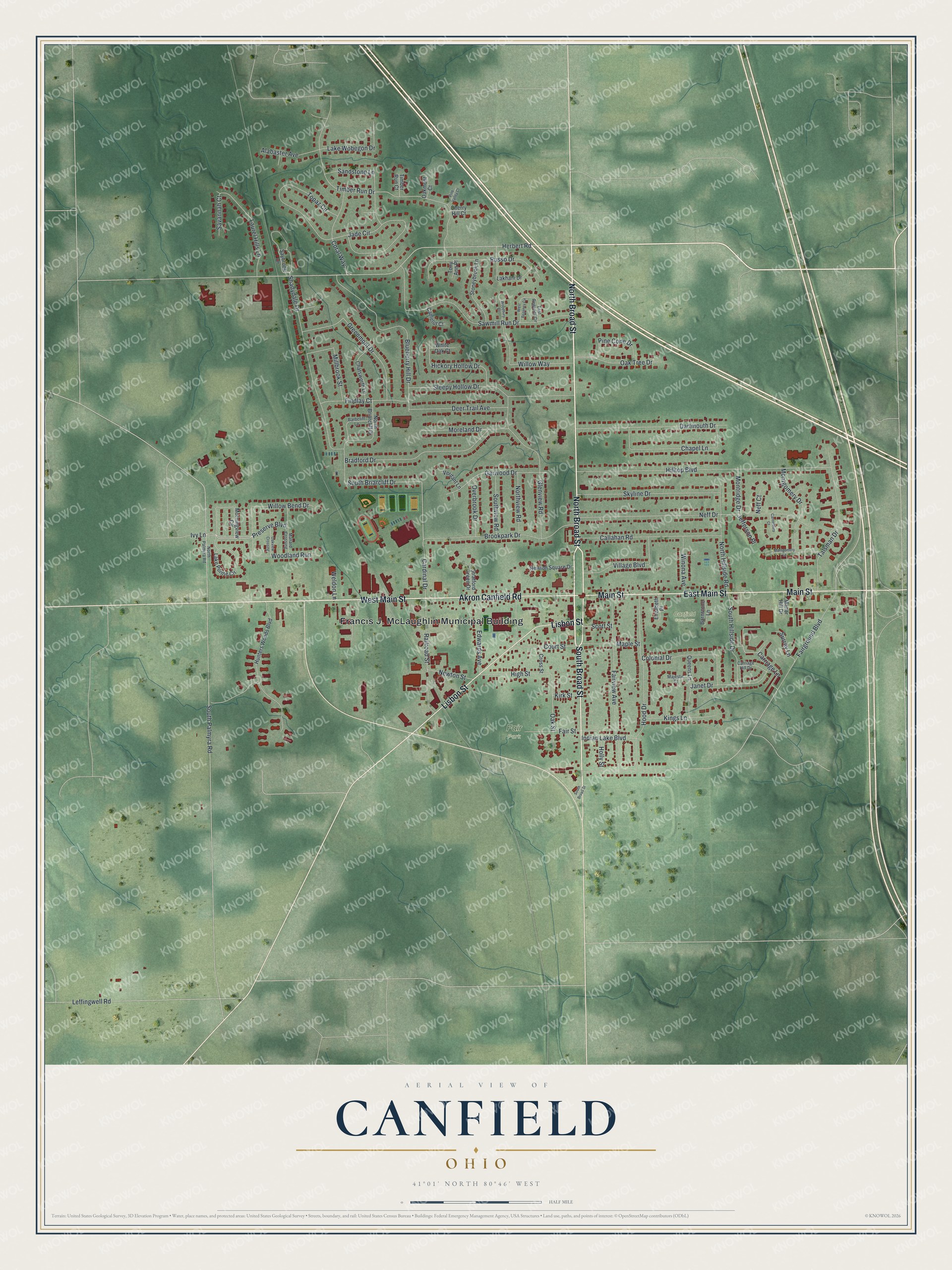
Created by KNOWOL in 2026, this Canfield print shows dark red buildings over green land with soft shading. The shading comes from USGS elevation data, and the streets come from Census Bureau records. At the bottom, the title panel reads "Aerial View of Canfield, Ohio" with 41°01' North 80°46' West and a half-mile scale bar.
It fits a family room, a kitchen or a home office. It's a good gift for someone who grew up in Canfield and moved away, or for a family that's lived near the green for years. Open the preview and follow Broad Street to a block you know. Shop the Canfield, Ohio map.