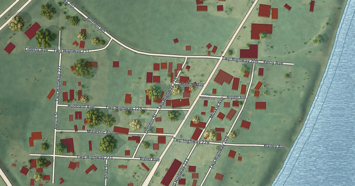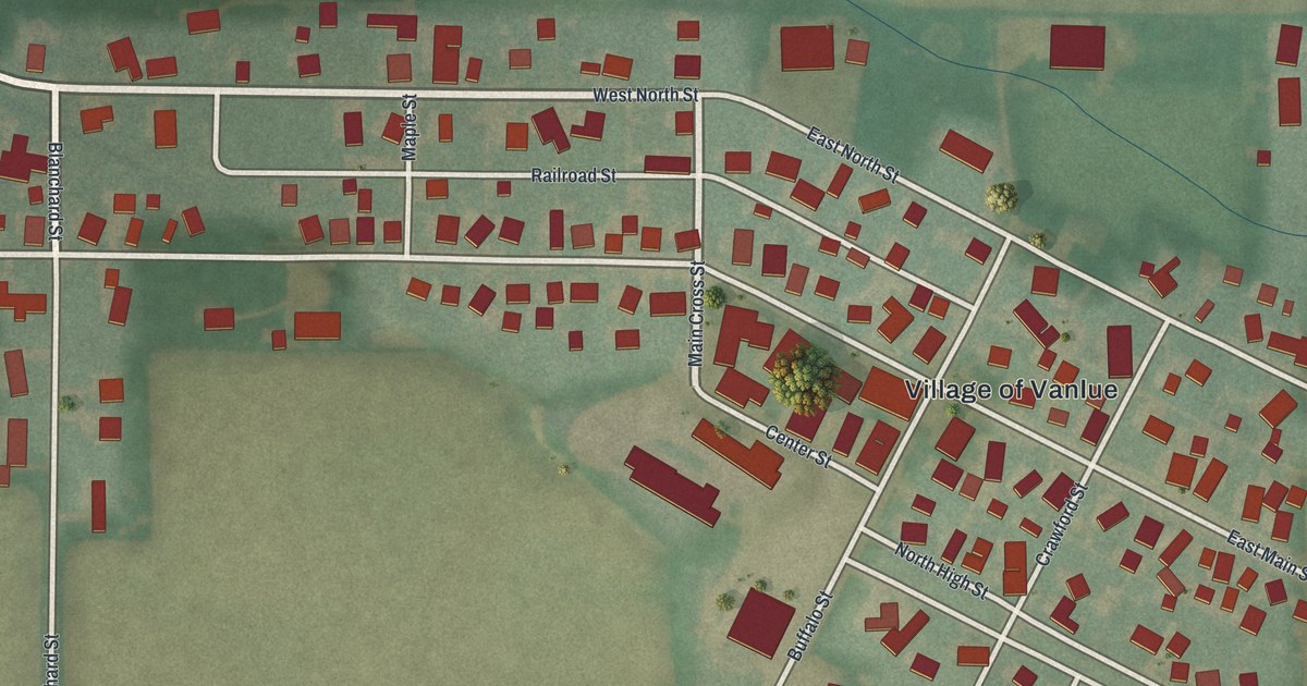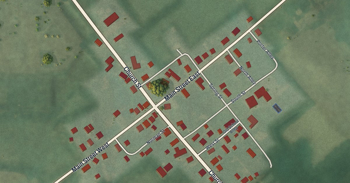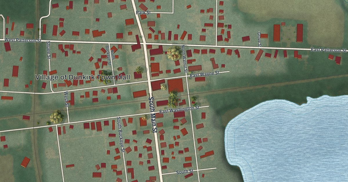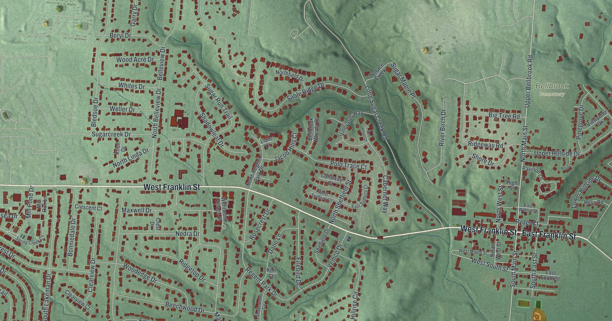
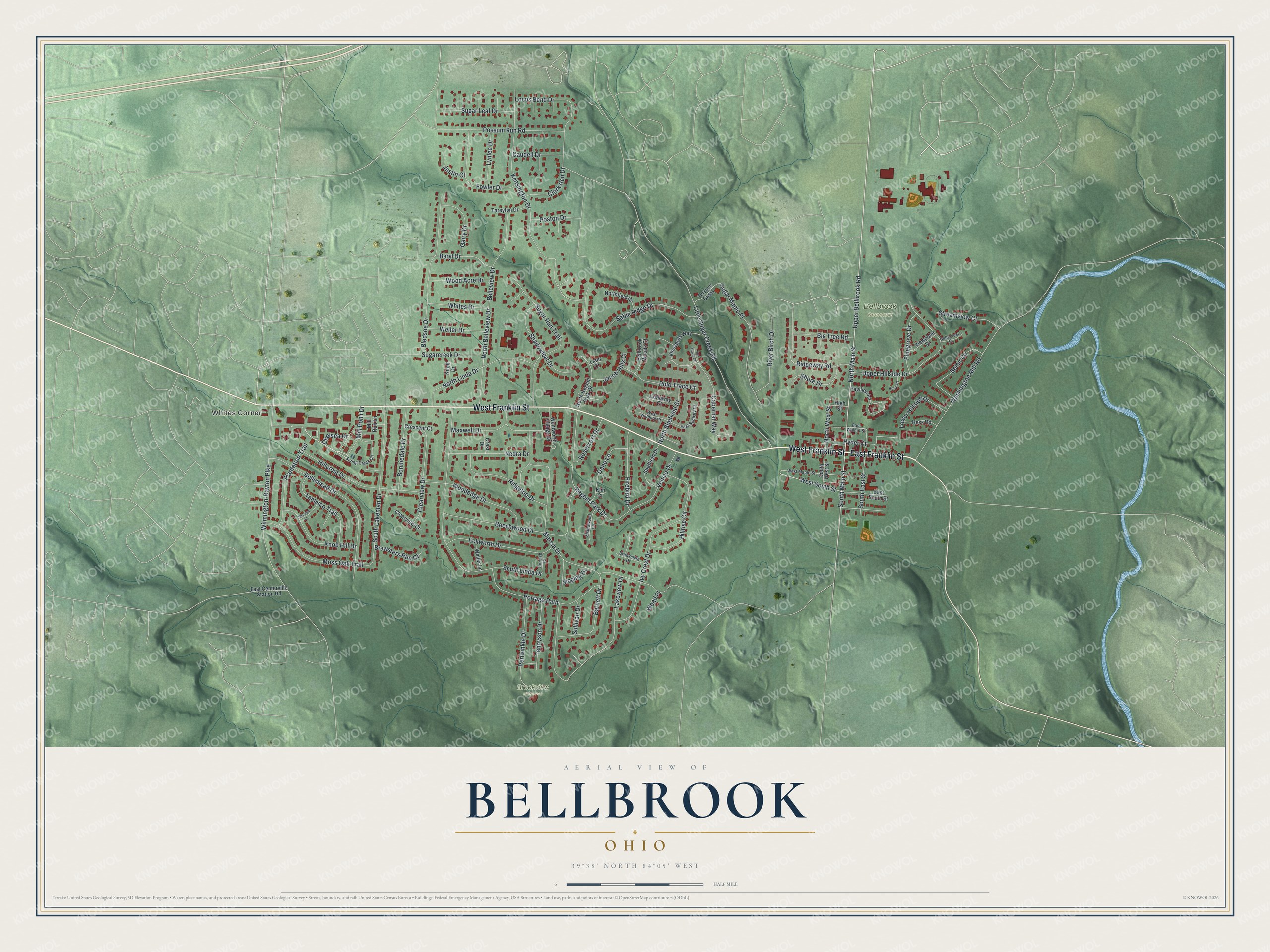
This beautifully detailed map of Bellbrook, Ohio was created in 2026 using aerial imagery combined with modern topographical, census, street and landmark data. It’s a one-of-a-kind view of Bellbrook that combines accurate data with a vintage aesthetic. The map shows every building in its true location, many of the roads carry their names, and the shaded topographic relief shows the shape of the land.
Explore an aerial view of Bellbrook, Ohio
On the map you’ll find Whites Corner, Bellbrook Cemetery, and Brookview Reserve, along with West Franklin Street, East Franklin Street, Upper Bellbrook Road, North Main Street, South Main Street, Mill Pond Drive, West South Street, Wilmington-Dayton Pike, Regent Park Drive, and more. If you look closely you can even find your house accurately drawn in its correct location. Zoom in on the preview to look for yours.
Did you know this piece of Bellbrook, Ohio history?
From the 1881 History of Greene County, Ohio: "# The first road over which the early settlers passed in their extended explorations of the wilderness, undoubtedly was the old Pinkney road from Cincinnati running through Bellbrook, in Sugar Creek, and extending to the Owen Davis mill, then bearing eastward, passing what was known as Pinkney Pond, near where Beaver Station.is now located, on toward Oldtown and Xenia."
Take a closer look at the Bellbrook map
Street and place names on the Bellbrook, Ohio map
These names are printed on the map of Bellbrook, Ohio.
Places: Whites Corner, Bellbrook Cemetery and Brookview Reserve.
Streets and roads: West Franklin Street, East Franklin Street, Upper Bellbrook Road, North Main Street, South Main Street, Mill Pond Drive, West South Street, Wilmington-Dayton Pike, Regent Park Drive, Kensington Drive, South Linda Drive, Marcia Drive.
More street names, A to Z
Barnett Drive, Beechwood Drive, Belair Circle, Bellbrook Woods Court, Bellecrest Court, Bellemead Drive, Belleview Drive, Beryl Drive, Big Tree Road, Bledsoe Drive, Bonniedale Drive, Brewsters Run Court, Brookshire Drive, Cabernet Way, Callaway Court, Caudell Drive, Chelsea Drive, Clarkston Drive, Clearview Court, Clearview Drive, Cornish Court, Crescent Court, Crest Drive, Dane Lane, East Centerville Station Road, East South Street, East Sudbury Court, East Walnut Street, Eckworth Drive, Firebird Drive, Fowler Drive, Garry Drive, Hess Road, High Street, Hillcrest Drive, Hillrise Circle, Hoop Court, Ivy Crest Drive, Jacob Hills Court, Justin Court, Kim Court, Knob Hill Drive, Knoll Drive, Lakeview Drive, Liam Court, Little Sugar Creek Road, Locus Bend Drive, Lower Hillside Drive, Lynlee Drive, Maxwell Drive, Mill Run Lane, Mission Lane, Moss Oak Trail, Nedra Drive, North Belleview Drive, Northfield Drive, North Linda Drive, North Regent Park Drive, North Sheffield Street, North West Street, Pavilion Lane, Periwinkle Drive, Pinegrove Drive, Plantation Trail, Polo Trace Court, Portage Path, Possum Run Road, Poston Drive, Ridgetop Drive, Ridgeway Road, River Birch Drive, Rosecrest Drive, Ryder Court, Sable Ridge Drive, Shadowleaf Drive, Shadowood Circle, Sheffield Drive, Shore Drive, Sloping Drive, South East Street, South Lakeman Drive, South West Street, Spring Creek Circle, Streamview Court, Sugarcreek Drive, Sugar Leaf Drive, Sugar Maple Place, Sugar Run Trail, Sullivan Drive, Tampico Trail, Tareyton Drive, Tennyson Drive, Terrace Creek, Upper Hillside Drive, Vemco Drive, Viewpoint Drive, Vineyards Way, Von Hovel Court, Washington Mill Road, Wead Place, Weller Drive, Weller Lane, Wentworth Village Drive, West Maple Street, West Sudbury Court, Whites Drive, Wood Acre Drive, Woodedge Drive.
See the Bellbrook, Ohio map on a wall
The Bellbrook map as an 18 x 24 inch print in a black frame.

This beautifully detailed map of Bellbrook makes an attractive addition to your office, library, or den, and it can even be used to teach children the geography and history of the area. It also makes a great gift for someone who left Bellbrook and still calls it home. When you’re done exploring, click here to get your copy of the Bellbrook map.