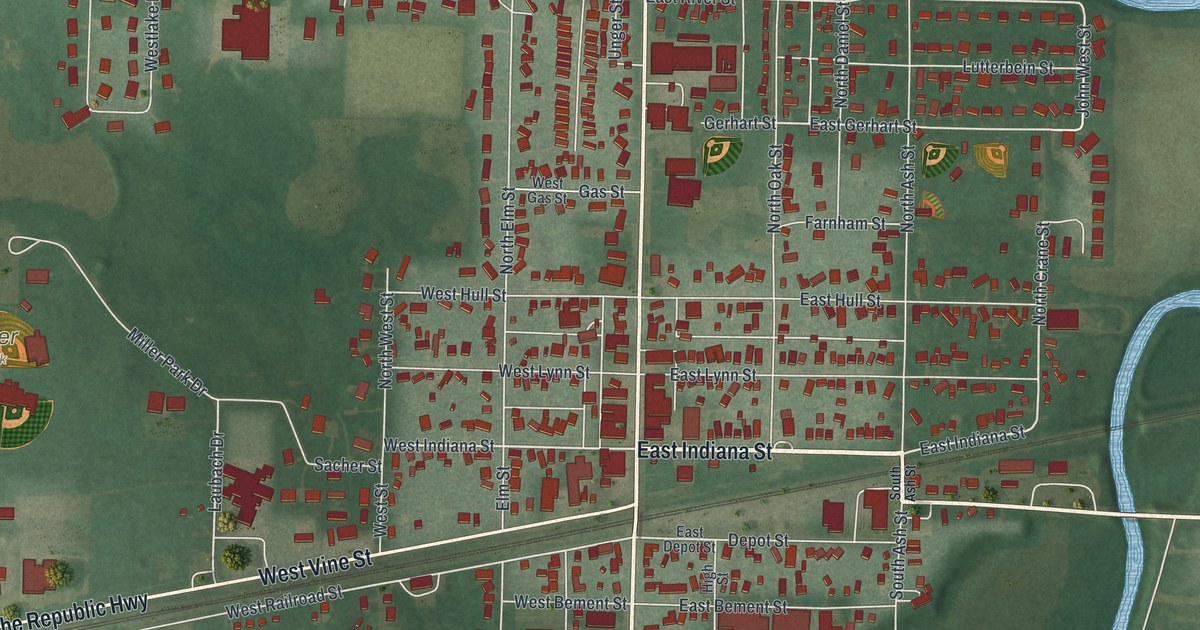
If you grew up in Edgerton or still have family near Miller Park, this map is for you. It's a new aerial view of Edgerton in Williams County, Ohio, drawn from modern data and given a warm vintage look. The village sits in the middle of the sheet, with every building shown in red. A wide blue river loops down the right side, and green farm fields fill the edges.
Streets and places around Edgerton
On this map you'll find North Michigan Avenue, South Michigan Avenue, East Indiana Street, West Indiana Street, Grand Army of the Republic Highway, East Morrison Street, West Vine Street, East River Street, Stadium Drive, Clarksville Road, Miller Park, Maple Grove Cemetery, and more. Each red shape is a building, so zoom in on the preview and look for yours.
How Edgerton got its name
Edgerton grew up beside the St. Joseph River after the Lake Shore & Michigan Southern railroad was finished in 1854. The village became official on December 4, 1865. It took its name from Alfred P. Edgerton, who gave the land for the village park. He worked as an agent for Hicks & Company, a business that bought and sold land.
The town hall and opera house on South Michigan Avenue
In 1884, the builders Von Behren & Shaffer put up a town hall and opera house. According to the Remarkable Ohio marker, the building and the park became the center of town life. The Edgerton Village Band played from the park bandstand. People came there for picnics and celebrations. The marker stands at the corner of South Michigan Avenue and East Indiana Street, right in the middle of the map.
Edgerton from above, with Miller Park and Maple Grove Cemetery
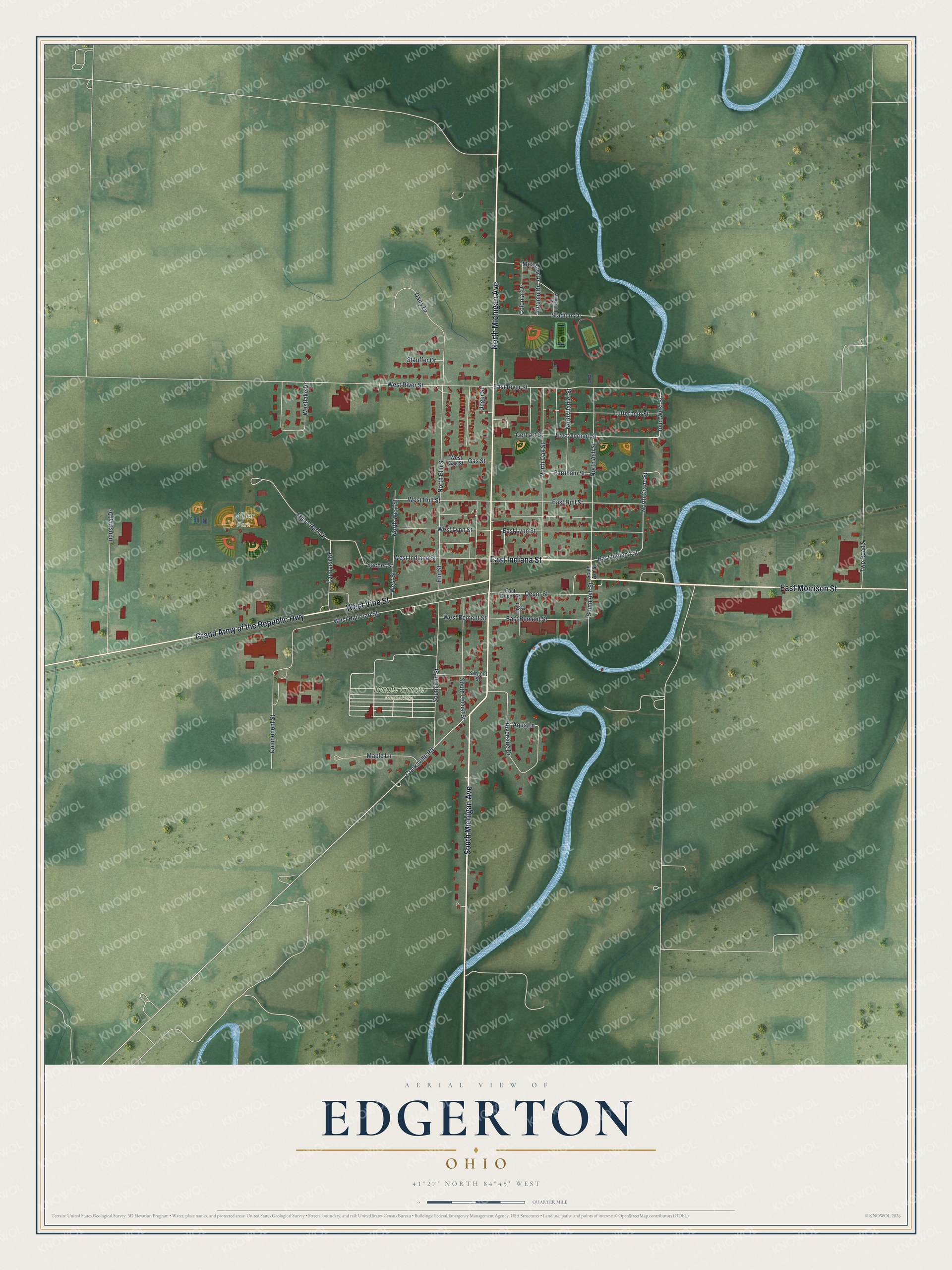
Created by KNOWOL in 2026, this print shows Edgerton from above in soft greens and blues, with red buildings, pale streets and gentle shading for the land. The title panel at the bottom reads "Aerial View of Edgerton, Ohio" with the coordinates 41°27' North 84°45' West.
It fits a front hall, a family room or an office wall. It's a good gift for someone who played ball at Miller Park, or for a friend who moved away and still thinks of Michigan Avenue. Open the preview and find your own street. See sizes and frames for the Edgerton map.