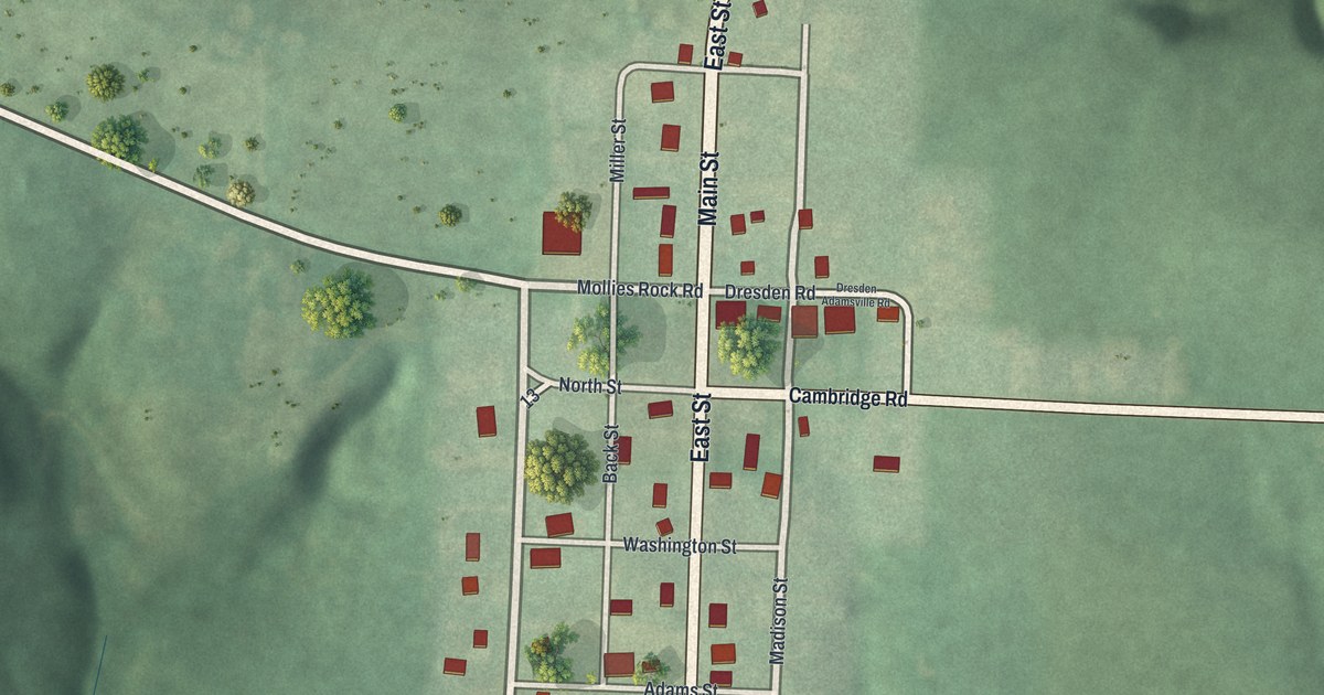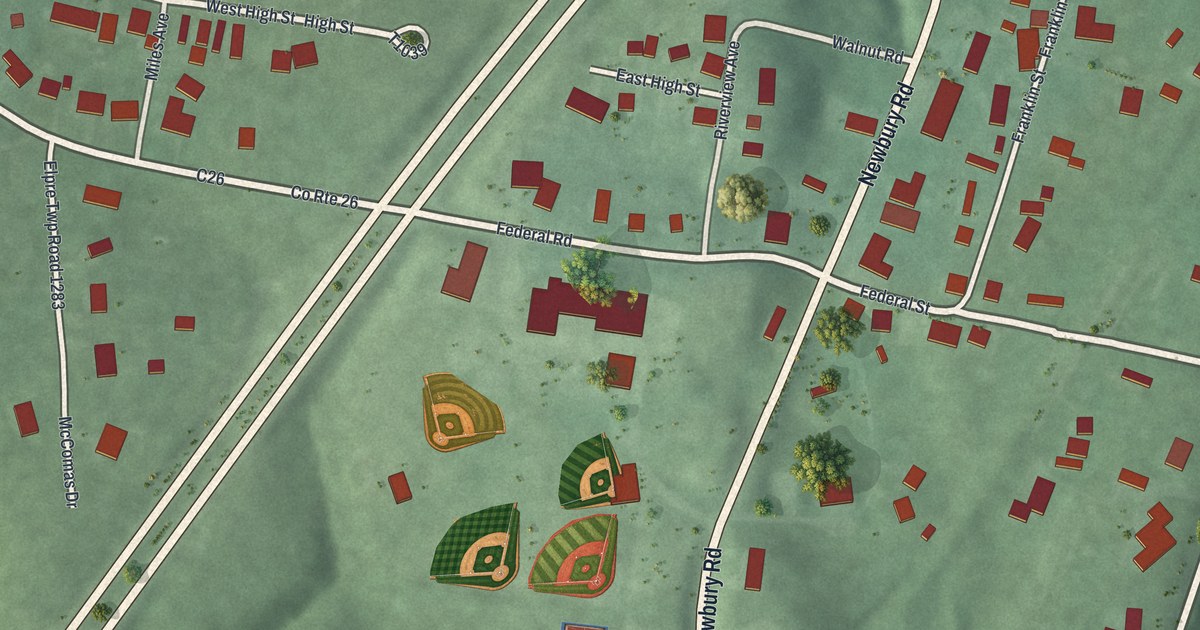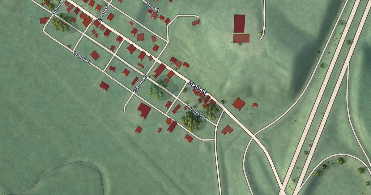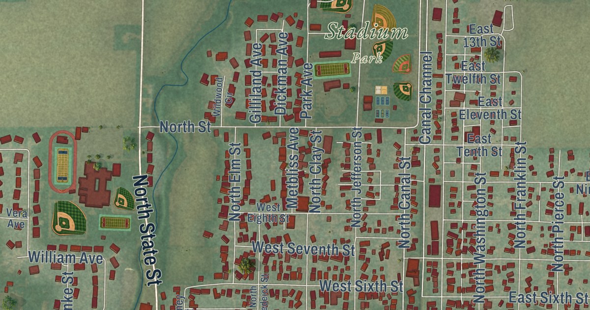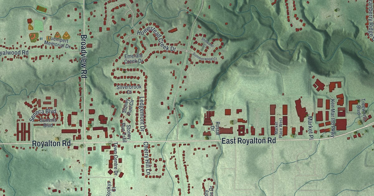
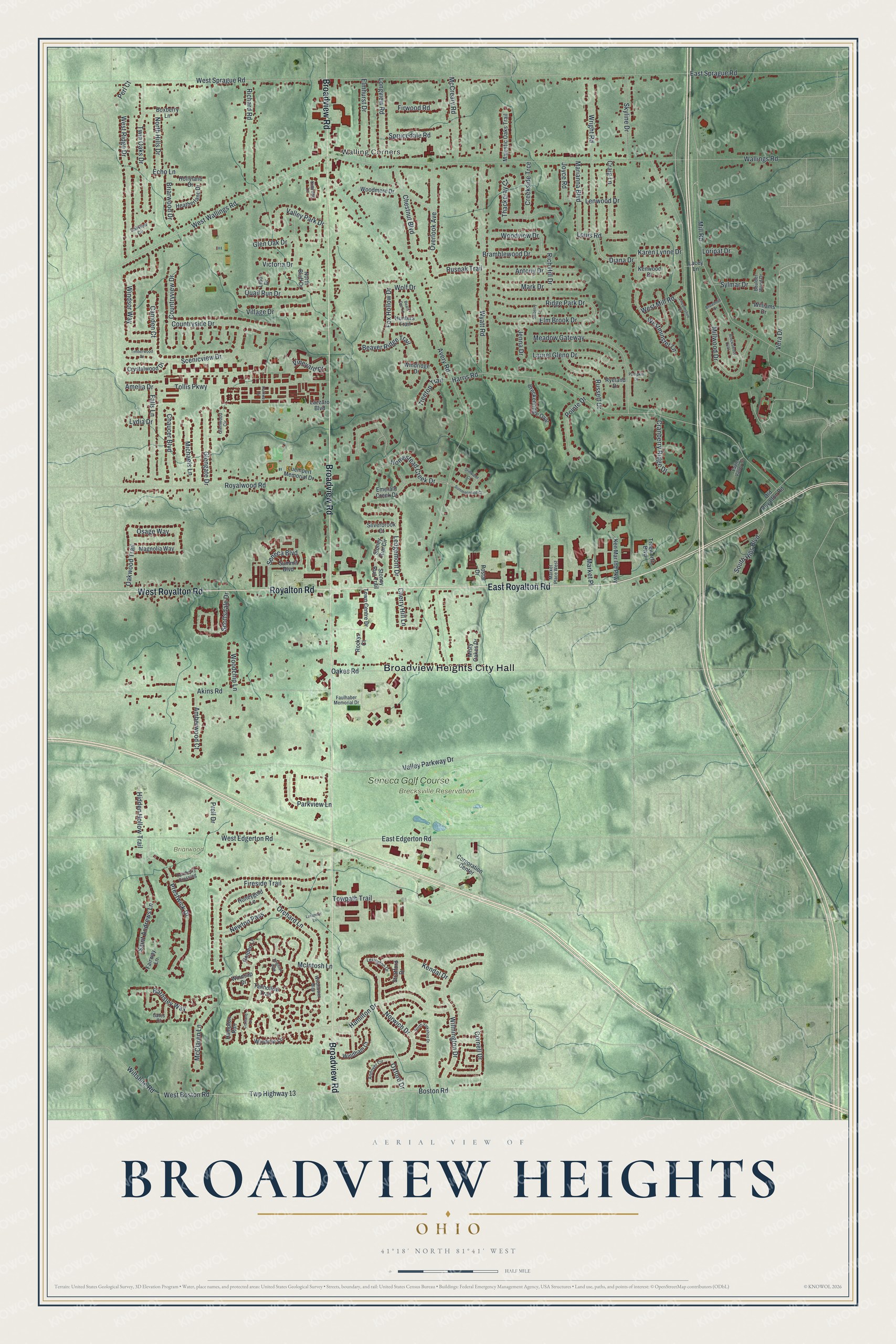
This beautifully detailed map of Broadview Heights, Ohio was created in 2026 using aerial imagery combined with modern topographical, census, street and landmark data. It’s a one-of-a-kind view of Broadview Heights that combines accurate data with a vintage aesthetic. The map shows every building in its true location, many of the roads carry their names, and the shaded topographic relief shows the shape of the land.
Explore an aerial view of Broadview Heights, Ohio
On the map you’ll find Broadview Heights City Hall, Walling Corners, Brecksville Reservation, Briarwood Golf Club, and Seneca Golf Course, along with East Royalton Road, Broadview Road, Royalton Road, West Royalton Road, McIntosh Lane, West Wallings Road, Norwich Drive, and more. If you look closely you can even find your house accurately drawn in its correct location. Zoom in on the preview to look for yours.
Did you know this piece of Broadview Heights, Ohio history?
From the Ohio History Connection: "For his compensation, Paine was given 200 acres of land that is now part of the cities of Broadview Heights, Brecksville, and North Royalton. He chose acreage in the southwestern area of the township and built the first family structure in this area."
Take a closer look at the Broadview Heights map
Street and place names on the Broadview Heights, Ohio map
These names are printed on the map of Broadview Heights, Ohio.
Places: Broadview Heights City Hall, Walling Corners, Brecksville Reservation, Briarwood Golf Club and Seneca Golf Course.
Streets and roads: East Royalton Road, Broadview Road, Royalton Road, West Royalton Road, McIntosh Lane, West Wallings Road, Norwich Drive, Diana Drive, Osage Way, Rusnak Trail, Oxford Drive, Avery Road.
More street names, A to Z
Akins Road, Amberwood Court, Amelia Drive, Andover Circle, Antony Drive, Barnsley Way, Bears Den Lane, Beaver Ridge Trail, Boston Road, Boulder Wood Drive, Boxberry Lane, Bramblewood Drive, Breckenridge Oval, Breckswood Oval, Briarwood Drive, Brighton Way, Broadmill Drive, Camden Court, Chaucer Boulevard, Cherry Hill Lane, Chestnut Boulevard, Cornell Drive, Corporation Center, Cortland Lane, Countryside Drive, Countryview Drive, Craig Lane, Cranberry Ridge Drive, Creekside Trce, Crystalwood Drive, Eagle Valley Court, East Edgerton Road, East Sprague Road, Echo Lane, Elm Brook Drive, Elmhurst Drive, Emerald Creek Drive, Fairway Lane, Falls Lane, Faulhaber Memorial Drive, Fireside Trail, Firwood Road, Fox Hollow Drive, Gates Court, Glengate Drive, Glen Oak Drive, Glenwood Circle, Golden Lane, Hamilton Drive, Hampton Run, Harris Road, Heatherlane Drive, Hidden Hollow Trail, Hollylane Drive, Homestead Creek Drive, Honeygold Lane, Hunters Trail, Jenna Drive, Joyce Road, Karen Lynne Drive, Kendal Drive, Ken Mar Ind Parkway, Kenwood Drive, Kimrose Lane, Lacey Lane, Laurel Glenn Drive, Lavender Lane, Lazzaro Boulevard, Ledgemont Drive, Lenwood Drive, Lexington Drive, Lido Drive, Lincolnshire Court, Longview Road, Loripat Drive, Louis Road, Luempert Memorial Drive, Lydia Drive, Magnolia Way, Majestic Oaks Trail, Marianna Boulevard, Mark Drive, Market Place, Market Place West, McClaren Lane, McCreary Road, Meadow Gateway, Michaels Lane, Mill Road, Millwood Drive, Misty Oakes Drive, Newton Pass, North Bluff Drive, North Hills Drive, North Yorkshire Drive, Oakes Road, Oakview Circle, Oakwood Trail, Old Royalton Road, Orchard Lane, Overlook Avenue, Parkview Lane, Parkway Drive, Perl Court, Pointe Drive, Postal Drive, Prell Drive, Prestwick Drive, Pumpkin Lane, Quail Run Drive, Richard Road, Rich Hill Drive, Ridge Park Drive, Rockys Court, Royalwood Road, Russett Drive, Ryeland Drive, Saint Andrews Lane, Salberry Lane, Scenicview Drive, Scottsdale Drive, Seneca Boulevard, Silverbrook Court, Skyline Drive, South Hills Boulevard, Sprucedale Road, Stillwater Court, Stoney Run Circle, Stoney Run Trail, Stratford Drive, Summerwood Court, Summit Boulevard, Sylmar Drive, Tanhollow Trail, Thackeray Court, Timberwood Drive, Tollis Parkway, Town Centre Drive, Towpath Trail, Treetop Trail, Treeworth Boulevard, Turnberry Crossing, Twin Oaks Drive, Twp Highway 13, Valley Park Drive, Valley Parkway Drive, Vera Drive, Victoria Drive, Village Drive, Vineyard Drive, Wallings Road, West Boston Road, West Edgerton Road, West Mill Road, Westminster Lane, West Ridge Drive, West Sprague Road, Wildflower Way, Williams Drive, Wilmington Drive, Wiltshire Road, Windham Court, Windridge Drive, Windrow Lane, Windsor Way, Winesap Drive, Wolf Drive, Woodchip Lane, Woodmere Drive, Woodview Drive, Wright Road, Wyatt Road.
See the Broadview Heights, Ohio map on a wall
The Broadview Heights map as an 18 x 24 inch print in a black frame.

This beautifully detailed map of Broadview Heights makes an attractive addition to your office, library, or den, and it can even be used to teach children the geography and history of the area. It also makes a great gift for someone who left Broadview Heights and still calls it home. When you’re done exploring, click here to get your copy of the Broadview Heights map.