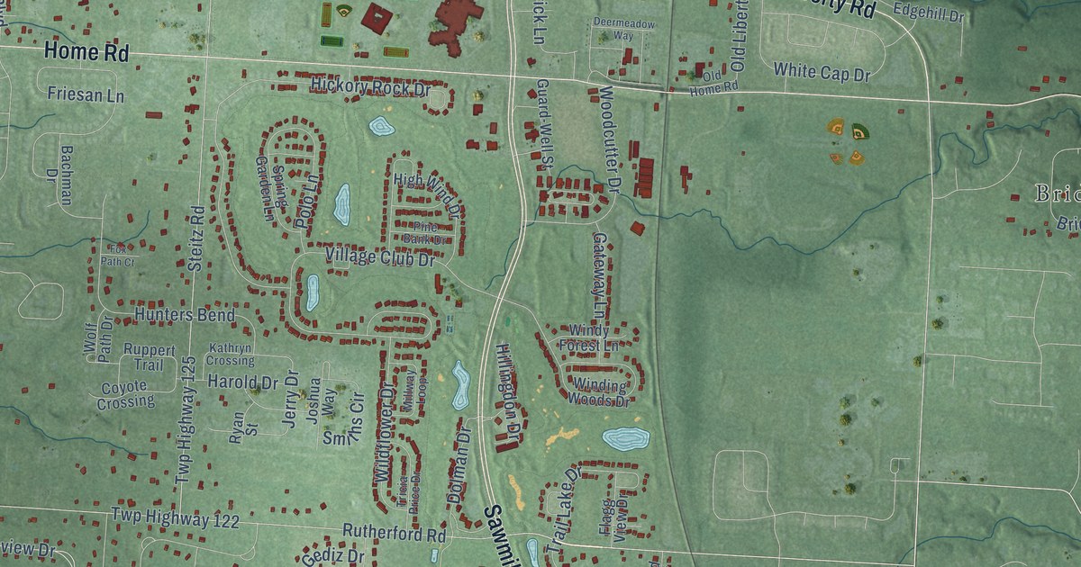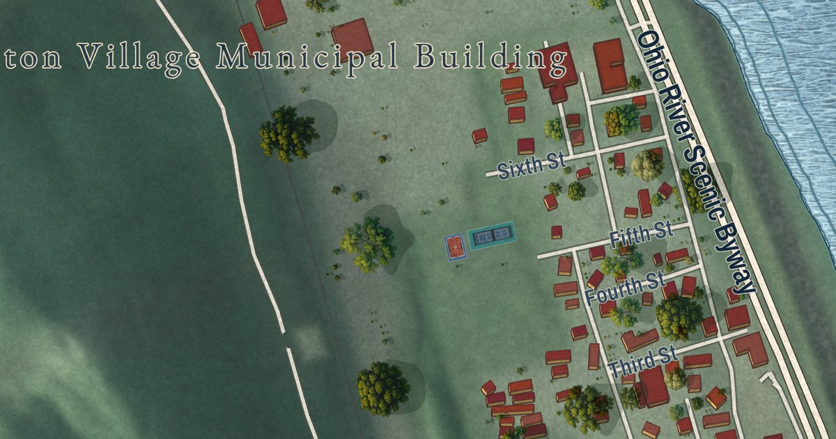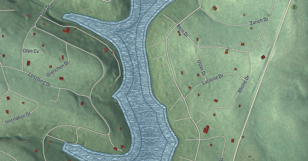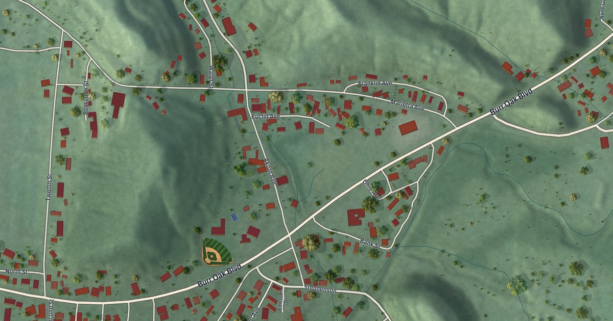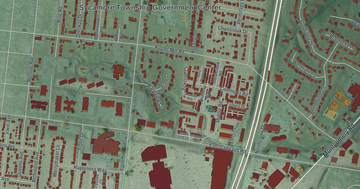
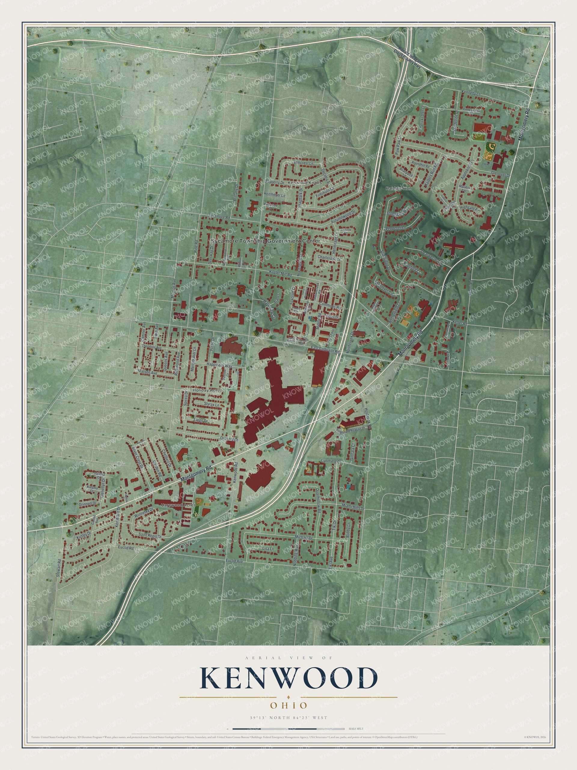
This beautifully detailed map of Kenwood, Ohio was created in 2026 using aerial imagery combined with modern topographical, census, street and landmark data. It’s a one-of-a-kind view of Kenwood that combines accurate data with a vintage aesthetic. The map shows every building in its true location, many of the roads carry their names, and the shaded topographic relief shows the shape of the land.
Explore an aerial view of Kenwood, Ohio
On the map you’ll find Sycamore Township Government Center, Harewood Acres, Holiday Acres, Kenwood Knolls, and Raiders Run, along with Montgomery Road, Winnetka Drive, Saint Regis Drive, Kirtley Drive, Kenwood Road, East Galbraith Road, Kugler Mill Road, and more. If you look closely you can even find your house accurately drawn in its correct location. Zoom in on the preview to look for yours.
Take a closer look at the Kenwood map
Street and place names on the Kenwood, Ohio map
These names are printed on the map of Kenwood, Ohio.
Places: Sycamore Township Government Center, Harewood Acres, Holiday Acres, Kenwood Knolls and Raiders Run.
Streets and roads: Montgomery Road, Winnetka Drive, Saint Regis Drive, Kirtley Drive, Kenwood Road, East Galbraith Road, Kugler Mill Road, Bayberry Drive, Hosbrook Road, Euclid Road, Sturbridge Drive, Euclid Avenue.
More street names, A to Z
Appleknoll Drive, Asbury Lane, Autumnwood Drive, Bobby Lane, Branford Court, Briarpatch Lane, Brittany Drive, Camner Avenue, Carroll Avenue, Charteroak Drive, Chetbert Drive, Chevy Chase, Commons Road, Dearwester Drive, Decima Street, Deerway Drive, Elmcrest Lane, Festive Court, Firethorn Court, Foxboro Court, Foxcroft Court, Frane Lane, Frolic Drive, Garden Road, Ginnala Court, Glenellyn Drive, Glenover Drive, Grinnell Drive, Happiness Way, Hasty Pudding Lane, Haverhill Lane, Heitmeyer Lane, Hermitage Lane, Highgate Place, Indiancreek Road, Irwin Avenue, Ivybrook Court, Kalama Court, Keller Road, Ken Arbre Drive, Kendale Court, Kennedy Lane, Kenwood Court, Kugler Meadows Court, Lands End Court, Largo Drive, Lisa Lane, Lynnfield Court, Malabar Terrace, Marieview Court, Marview Avenue, Matson Avenue, Merrymaker Lane, Miami Hills Drive, Miami Road, Michael Drive, Middle Road, Monroe Avenue, Myrtlewood Avenue, New England Court, Nodding Way, Northcreek Drive, Orchard Lane, Patricks Glen Lane, Paw Paw Lane, Peabody Way, Pepperell Lane, Pine Road, Quailhollow Road, Queens Avenue, Raiders Run Road, Richmond Avenue, Ronald Reagan Cross County Highway, Ronald Reagan Drive, Roundhill Road, Shadetree Drive, Shagbark Drive, Silver Crest Drive, Spirea Drive, Squirrelridge Drive, Starbuck Neck, Stewart Road, Stoneham Place, Styrax Lane, Sycamore Road, Theodore Avenue, Tiki Avenue, Tiki Drive, Timberknoll Drive, Tisbury Drive, Westover Circle, Wetherfield Lane, Wilton Avenue, Winthrop Way, Yakima Court.
See the Kenwood, Ohio map on a wall
The Kenwood map as an 18 x 24 inch print in a black frame.

This beautifully detailed map of Kenwood makes an attractive addition to your office, library, or den, and it can even be used to teach children the geography and history of the area. It also makes a great gift for anyone who grew up in Kenwood or moved away. When you’re done exploring, click here to get your copy of the Kenwood map.