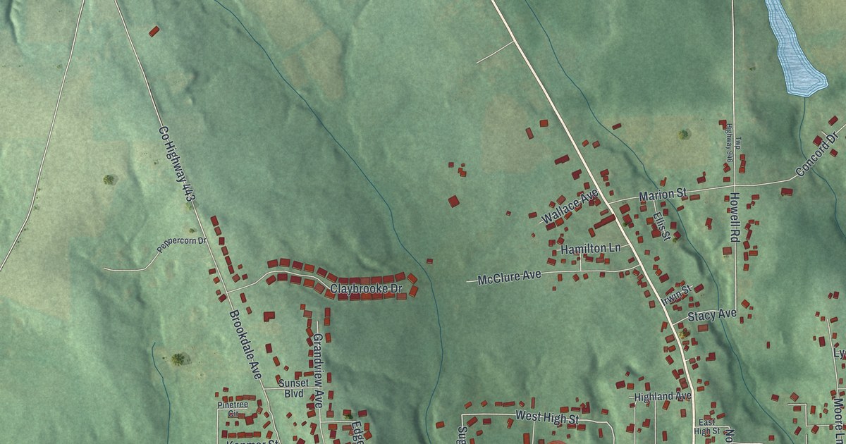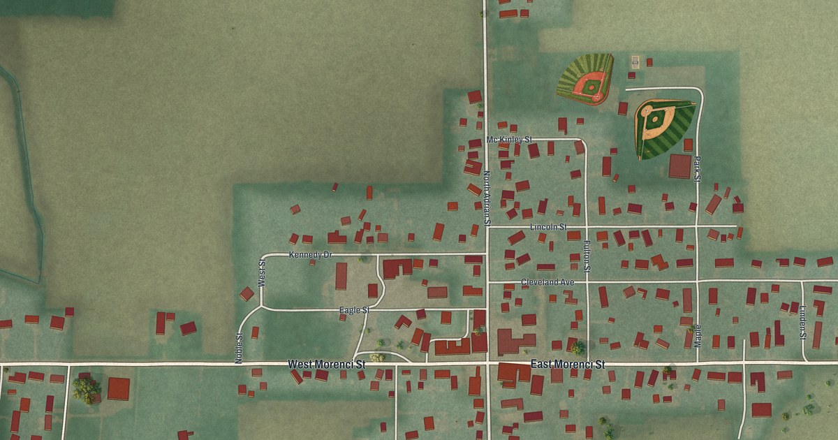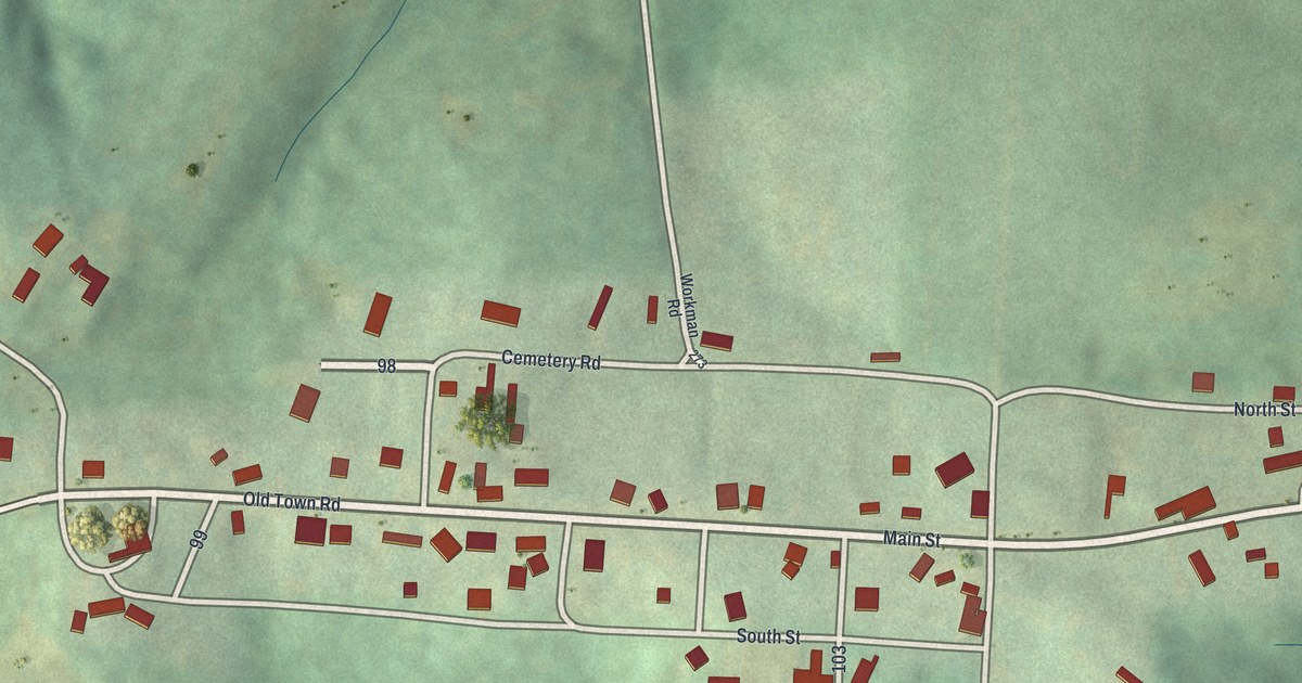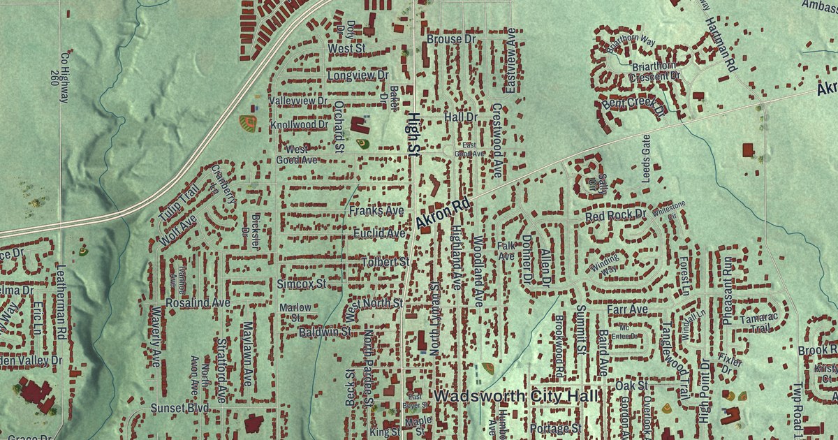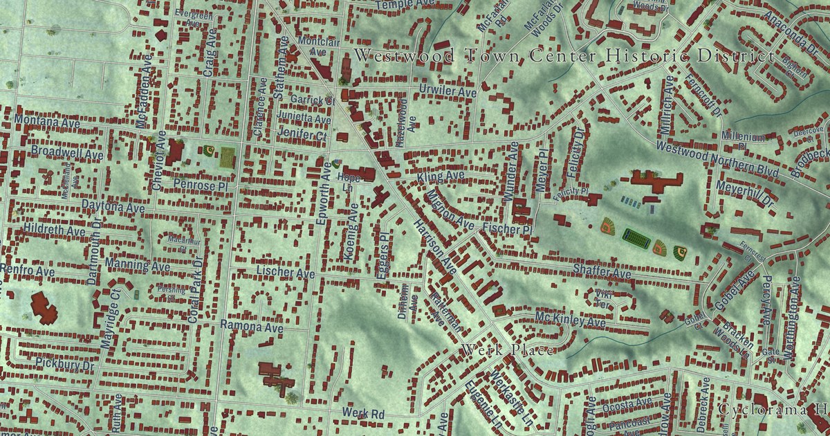
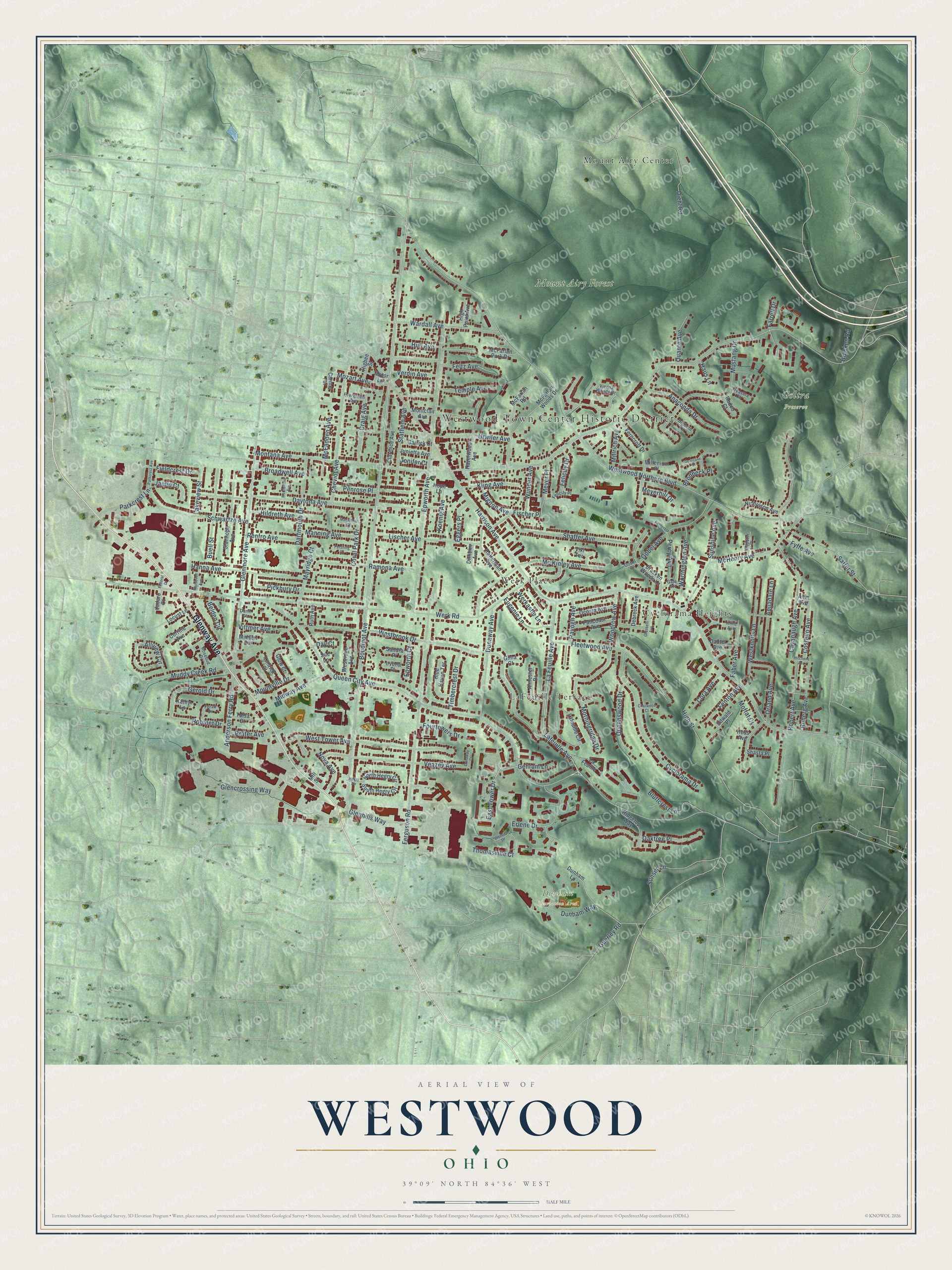
This beautifully detailed map of Westwood, Ohio was created in 2026 using aerial imagery combined with modern topographical, census, street and landmark data. It’s a one-of-a-kind view of Westwood that combines accurate data with a vintage aesthetic. The map shows every building in its true location, many of the roads carry their names, and the shaded topographic relief shows the shape of the land.
Explore an aerial view of Westwood, Ohio
On the map you’ll find Westwood Town Center Historic District, Dunham Recreation Area, Goltra Preserve, Mount Airy Forest, Mount Airy Center, Cyclorama Heights, and Werk Place, along with LaFeuille Terrace, Glenway Avenue, Queen City Avenue, Lafeuille Avenue, East Tower Drive, and more. If you look closely you can even find your house accurately drawn in its correct location. Zoom in on the preview to look for yours.
Did You Know?
Westwood’s Methodists first met in one another’s homes for several years. By the 1890s they wanted a larger church. They hired Samuel Hannaford, the master architect behind many Cincinnati churches. His Gothic Revival church, finished in 1896, still anchors the heart of Westwood with its tall copper spire.
Take a closer look at the Westwood map
Names on this map
These names are printed on this map.
Places: Westwood Town Center Historic District, Dunham Recreation Area, Goltra Preserve, Mount Airy Forest, LaFeuille Terrace, Mount Airy Center, Cyclorama Heights and Werk Place.
Streets and roads: Glenway Avenue, Queen City Avenue, Lafeuille Avenue, East Tower Drive, La Feuille Avenue, Boudinot Avenue, Montana Avenue, Harrison Avenue, Westwood Northern Boulevard, Werk Road, Westbrook Drive, Epworth Avenue.
More street names, A to Z
Allview Circle, Almester Drive, Altin Avenue, Anaconda Drive, Anderson Ferry Road, Aquadale Lane, Belden Circle, Bighorn Court, Blue Haven Terrace, Bluffcrest Lane, Bracken Road, Bracken Woods Lane, Brater Avenue, Broadwell Avenue, Brodbeck Place, Buell Street, Carmel Terrace, Cavanaugh Avenue, Charwood Court, Cheviot Avenue, Clarence Avenue, Cora Avenue, Coral Park Drive, Corrine Avenue, Costello Avenue, Craig Avenue, Cyclorama Drive, Dartmouth Drive, Dautel Avenue, Day Court, Daytona Avenue, Debreck Avenue, Deercove Court, Diehl Road, Dirheim Avenue, Dunaway Avenue, Dunaway Court, Dunham Lane, Dunham Way, Dunn Court, Edwald Place, Eggers Place, Epworth Court, Erlene Drive, Eugenie Lane, Evergreen Avenue, Faber Avenue, Farrell Drive, Federal Drive, Felicity Drive, Felicity Place, Feltz Avenue, Fenton Avenue, Ferguson Road, Ferncrest Court, Ferncroft Drive, Fieldcrest Drive, Fischer Place, Fleetwood Avenue, Foran Drive, Fourtowers Drive, Fyffe Avenue, Garrick Court, Gate Street, Gehrum Lane, Gerold Drive, Gilna Court, Glencrossing Way, Glenhills Way, Glenmore Avenue, Glow Court, Gobel Avenue, Gobel Court, Grasselli Avenue, Guerley Road, Hanna Avenue, Haus Lane, Hazelwood Avenue, Hegry Circle, Hess Avenue, Higbee Street, High Point Avenue, High Street, Hildreth Avenue, Hitchens Avenue, Hope Lane, Hull Avenue, Irvella Place, Jadaro Court, Janlin Court, Jenifer Court, Junietta Avenue, Kathy Lane, Kline Avenue, Kling Avenue, Koenig Avenue, La Feuille, Lafeuille Circle, Lakeview Street, Lischer Avenue, Locust Lane, Macarthur Court, Manning Avenue, Mayridge Court, McClelland Avenue, McFadden Avenue, McFarlan Park Drive, McFarlan Road, McFarlan Woods Drive, McHenry Avenue, Mc Kinley Avenue, Meyerhill Drive, Meyer Place, Midden Circle, Midway Avenue, Mignon Avenue, Millenium Place, Millrich Avenue, Mill Street, Moffat Court, Montclair Avenue, Morningridge Drive, Motor Lane, Mountville Drive, Mozart Avenue, Muddy Creek Road, Mustang Drive, Nicholson Avenue, North Hegry Circle, Nova Avenue, Oaktree Place, Ocosta Avenue, Orland Avenue, Pancoast Avenue, Parkcrest Avenue, Parkcrest Lane, Penrose Place, Percy Avenue, Pershing Court, Pickbury Drive, Quante Avenue, Queenswood Drive, Ramona Avenue, Ratterman Avenue, Ravogli Avenue, Renfro Avenue, Ridgetop Way, Robert Avenue, Robinet Drive, Rodeo Court, Roosevelt Avenue, Rosebud Drive, Ruberg Avenue, Ruth Avenue, Saffer Street, Sandra Place, Schwartze Avenue, Shaffer Avenue, Shasta Place, South Hegry Circle, Stanhope Avenue, Stathem Avenue, Sue Lane, Sunset Lane, Sunshine Avenue, Temple Avenue, Thomasville Court, Timbercrest Drive, Timrick Court, Treasure Court, Tulsa Court, Urwiler Avenue, Veazey Avenue, Verdin Avenue, Vienna Woods Drive, Viki Terrace, Vittmer Avenue, Wardall Avenue, Wendes Drive, Werkastle Lane, Westknolls Lane, Westridge Avenue, West Tower Avenue, Woodrow Avenue, Wooster Place, Worthington Avenue, Wunder Avenue.
See it on a wall
The Westwood map as a framed print. Swipe for more.


This beautifully detailed map of Westwood makes an attractive addition to your office, library, or den, and it can even be used to teach children the geography and history of the area. It also makes a great gift for anyone who grew up in Westwood or moved away. When you’re done exploring, click here to get your copy of the Westwood map.