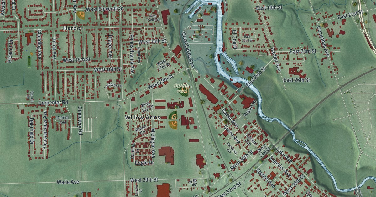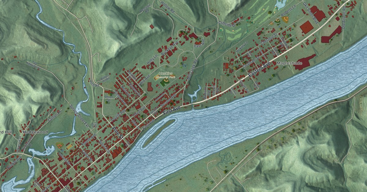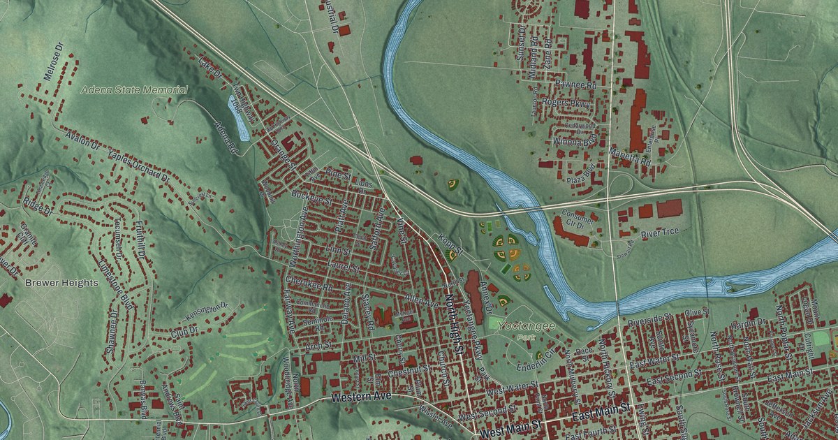
If you grew up in Chillicothe, went to school here, or still have family in Ross County, this map gives you plenty to find. It's a modern aerial view of Chillicothe in Ross County, Ohio, made from modern data with a vintage look. Downtown sits in the middle, and a river bends around its north and east sides. More than 14,000 buildings are drawn in red. Green hills rise on both sides of the valley, and Adena State Memorial is printed on the high ground west of town. Explore the print options for Chillicothe.
North Paint Street, East Main Street and Yoctangee Park
Start downtown at the corner of Paint and Main, near the middle of the sheet. Take West Main Street west, and Western Avenue carries on toward Brewer Heights. Back at the corner, follow North Paint Street up to West Water Street. Yoctangee Park is printed just past it, with Enderlin Circle running by. Now take East Main Street the other way. Turn left on North Bridge Street and you'll cross the river, which isn't labeled. South Bridge Street runs south from the same corner. Farther east, Eastern Avenue heads for the bottom right corner. Off Douglas Avenue there, you'll find Akron Street, Dayton Street, Columbus Street and Toledo Street, which share their names with Ohio cities. To the southwest, Belleview Avenue runs past Belleview Heights, and Brookside Street runs past Grandview Cemetery. Many of the roads are labeled, and each red shape is a building, so zoom in on the preview and look for yours.
Chillicothe was Ohio's first capital, and the story starts before Ohio was a state. In 1800, Chillicothe became the capital of the Northwest Territory. There were no public buildings yet. So the lawmakers met in a two-story log house owned by Basil Abrams. People called it Abrams' Big House. It stood at the corner of Walnut and West Second Street. In the War of 1812 it housed soldiers, and it was torn down around 1840.
In 1801, Ross County's first courthouse went up on the Public Square. Thomas Worthington laid out its foundation. Ohio's first constitution was written there in 1802. On March 1, 1803, Ohio's first General Assembly met in the building, and it became the statehouse. In 1807, the Shawnee leader Tecumseh spoke there. He told the town the Indians would stay at peace. The old courthouse came down in 1852 to make room for the one there now. The statehouse story is on a marker from the Ohio History Connection at the corner of Paint and Main. The map doesn't mark the site, but it's easy to find. Put your finger where North Paint Street crosses West Main Street.
A gift for anyone who grew up near Yoctangee Park
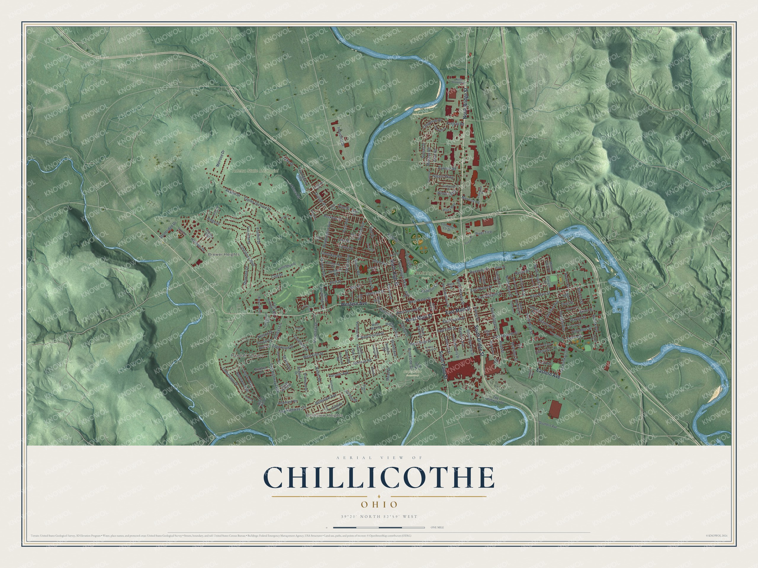
Created by KNOWOL in 2026, this Chillicothe map suits an office, a den or a family room. The hills are shaded from USGS elevation data, and the buildings are drawn in deep red. The title panel reads "Aerial View of Chillicothe, Ohio," with the coordinates 39°20' North, 82°59' West and a one-mile scale bar.
It makes a good gift for anyone who grew up in Chillicothe and moved away, or anyone whose family goes back a long way here. Open the preview and trace the way from Paint and Main to a street you know. Shop the Chillicothe, Ohio map.