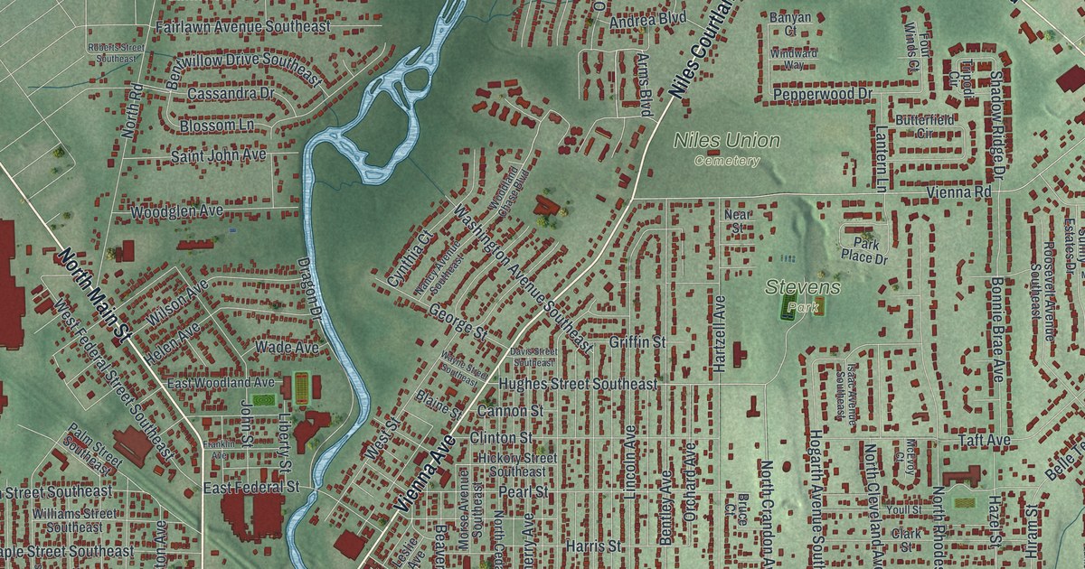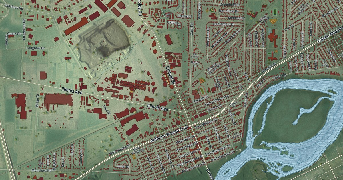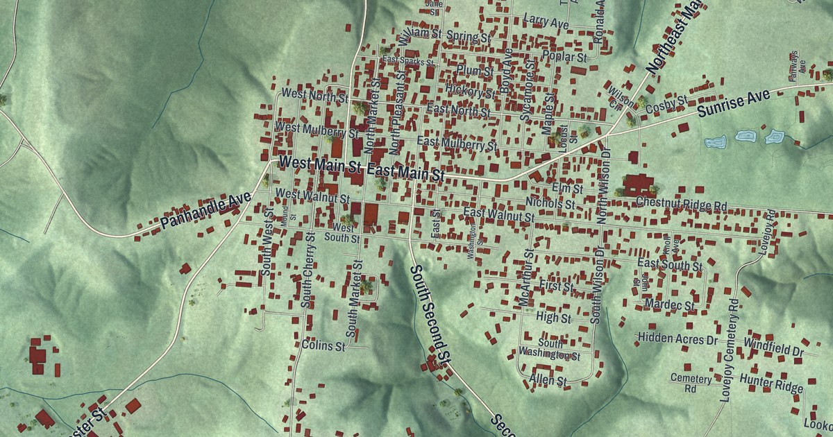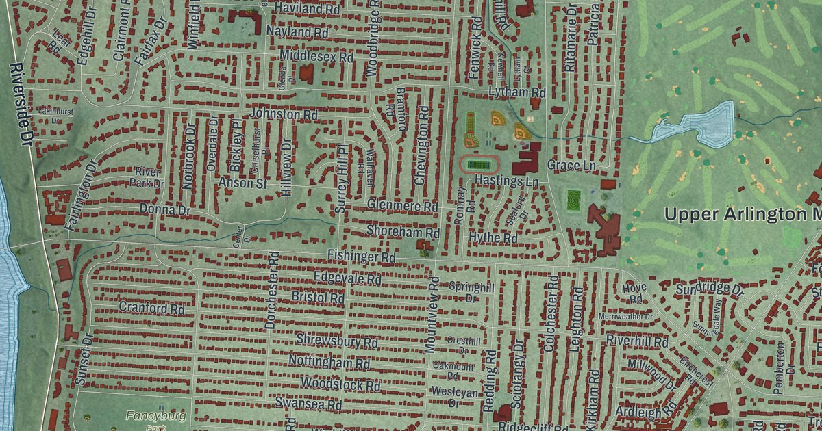
If you grew up in Upper Arlington, or you still live off Tremont Road or Riverside Drive, this map is for you. It's a modern aerial view of Upper Arlington in Franklin County, Ohio, made from modern data and given a vintage look. A wide blue river runs down the left side, with Riverside Drive along its bank. More than 25,000 small red shapes mark the homes, schools and shops. Green spaces open up between the streets, from Scioto Country Club near the bottom to the big lawn by the Municipal Services Center.
How Upper Arlington Began as the Country Club District
On this map you'll find Tremont Road, Northwest Boulevard, Lane Road, Arlington Avenue, Cambridge Boulevard, Riverside Drive, Fishinger Road, Kenny Road, West Henderson Road, Zollinger Road, Scioto Country Club, Fancyburg Park, the Upper Arlington Municipal Services Center, and more. Each red shape is a building, so zoom in on the preview and look for yours.
Upper Arlington started as a plan. In 1913, King and Ben Thompson bought 840 acres of farmland northwest of Columbus. They bought it from James T. Miller. They called their new place the Country Club District. The Upper Arlington Company followed in 1917. Its field office building is now Miller Park Library. William Pitkin, Jr., a noted landscape architect, laid out the streets. He gave them gentle curves, with big lots and lasting green spaces. The idea came from the English "Garden City" model. It aimed for beauty, health and comfort at a time when cities were getting crowded. Homes went up in Period Revival styles between 1915 and 1940. This older part of town is known as Old Arlington. It was listed on the National Register of Historic Places in 1985, says the Ohio History Connection marker in Miller Park. That marker stands on Arlington Avenue, and the curving streets around it are easy to spot on the map.
CompuServe on Arlington Centre Boulevard
Upper Arlington also helped start the online world. From 1973 to 2009, CompuServe had its world headquarters at 5000 Arlington Centre Boulevard. It was the first major online information service. Its users were the first to get email, online newspapers and chat forums. They could share and download files, too. Millions of people went online for the first time through it. Arlington Centre Boulevard is printed on the map, near the top of town.
From Riverside Drive to Kenny Road
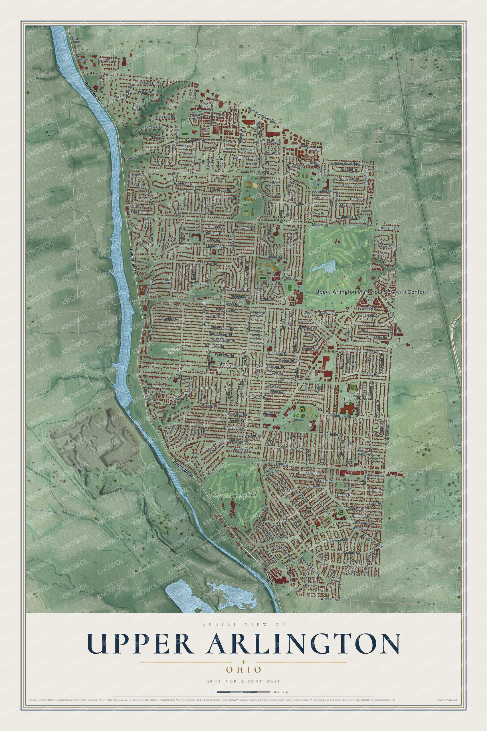
Created by KNOWOL in 2026, this print shows Upper Arlington from above in soft greens and blues, with buildings in deep red and the street names printed along the roads. The title panel reads "Aerial View of Upper Arlington, Ohio" with the coordinates 40°02' North 83°03' West.
It fits a front hall, a home office or a family room. It's a good gift for someone who grew up near Fancyburg Park, a new homeowner in Old Arlington, or a friend who moved away and misses Tremont Road. Open the preview and zoom in to find your street. See sizes and frames for the Upper Arlington map.