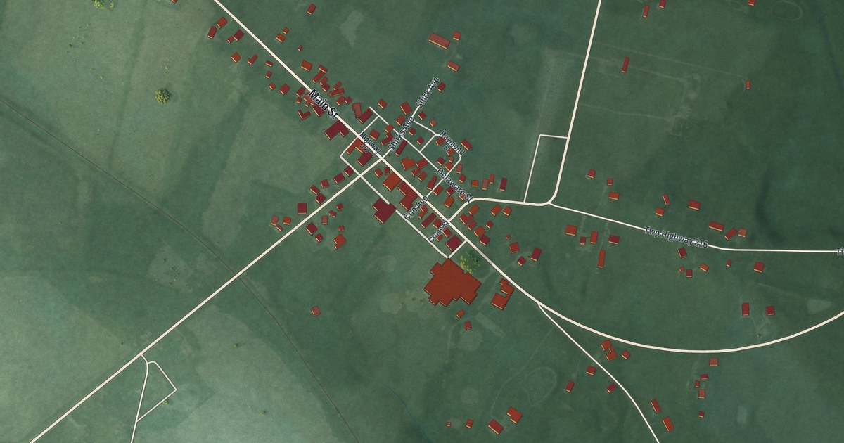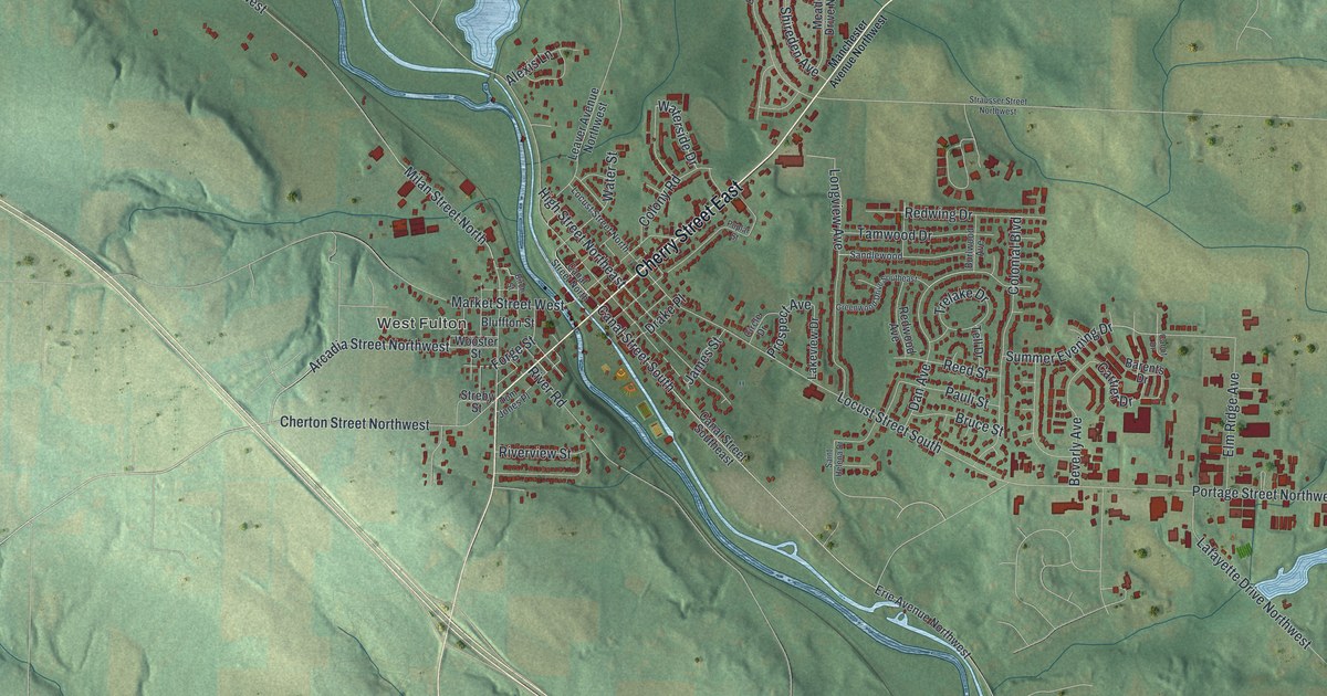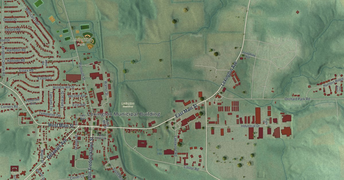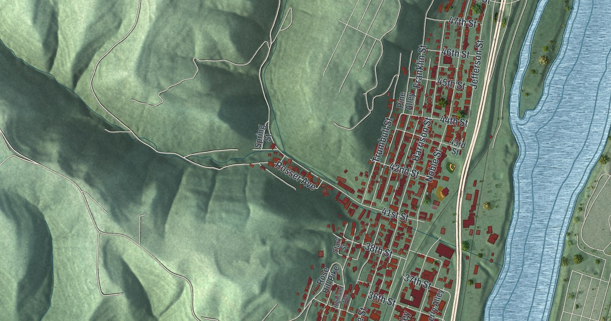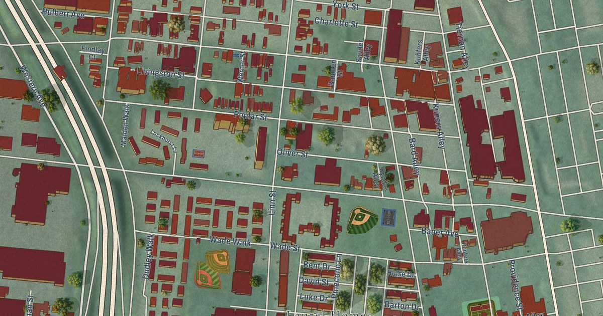
This beautifully detailed map of West End, Ohio was created in 2026 using aerial imagery combined with modern topographical, census, street and landmark data. It’s a one-of-a-kind view of West End that combines accurate data with a vintage aesthetic. The map shows every building in its true location, many of the roads carry their names, and the shaded topographic relief shows the shape of the land.
Explore an aerial view of West End, Ohio
On the map you’ll find Dyer Park, Laurel Homes, and Brighton Corner, along with Lincoln Court, West Seventh Street, West Ninth Street, Elm Street, Central Parkway, Central Avenue, Plum Street, Western Avenue, Dalton Avenue, and more. If you look closely you can even find your house accurately drawn in its correct location. Zoom in on the preview to look for yours.
Did You Know?
From Internet Archive: "No. 409 West Main Street, and was the outgrowth of an afternoon Sunday school, which some of the Lutherans of the city and college had carried on for a number of years in the West End."
West End is a place in Hamilton County.
Take a closer look at the West End map
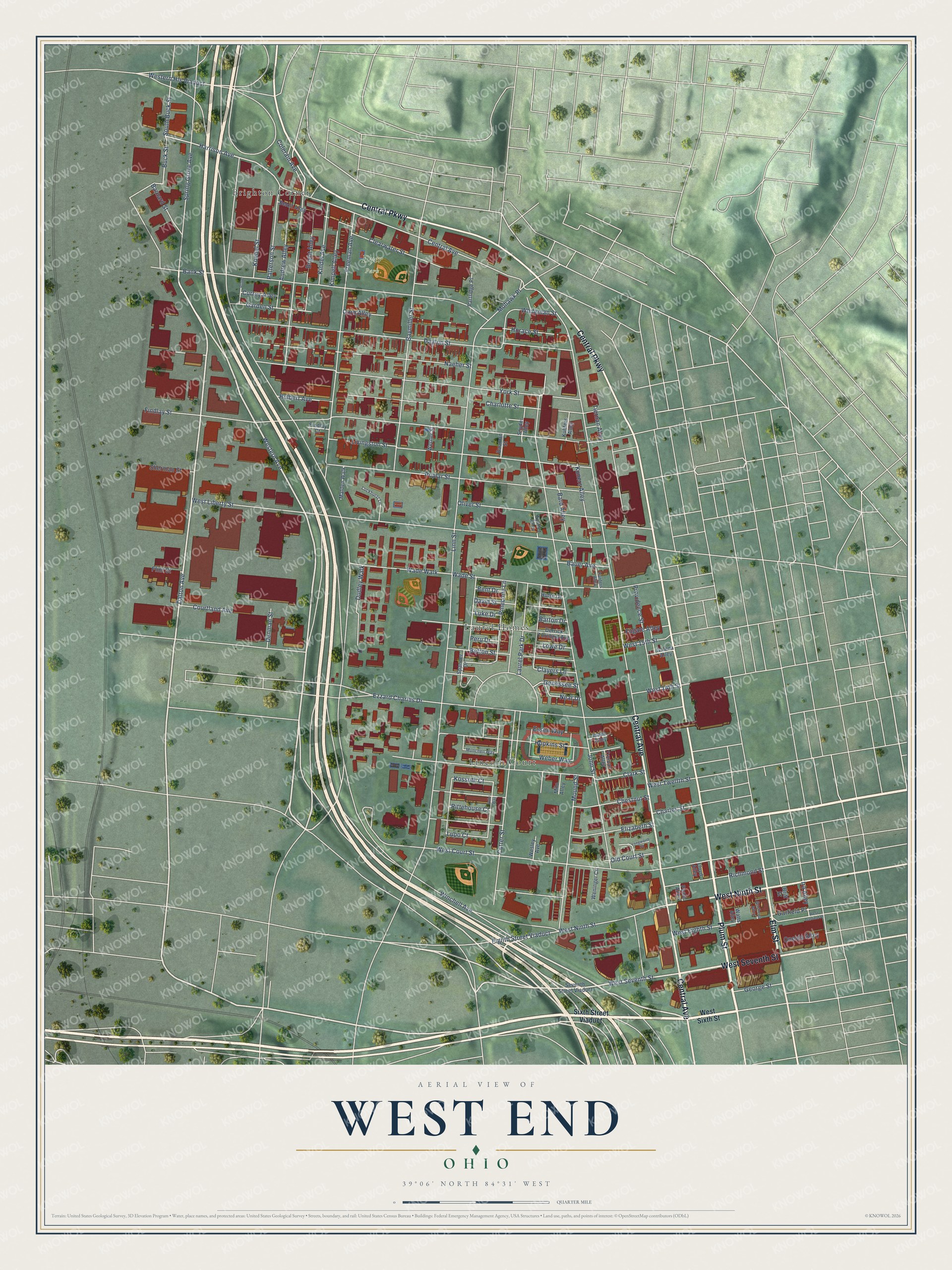
Names on this map
These names are printed on this map.
Places: Dyer Park, Laurel Homes, Lincoln Court and Brighton Corner.
Streets and roads: West Seventh Street, West Ninth Street, Elm Street, Central Parkway, Central Avenue, Plum Street, Western Avenue, Dalton Avenue, Harrison Avenue, Buck Street, South Buck Street, Laurel Park Drive.
More street names, A to Z
Andrew Alley, Bank Street, Bard Alley, Barnard Street, Barton Drive, Bauer Avenue, Bauman Street, Baymiller Street, Beloit Alley, Bent Drive, Betton Street, Bright Alley, Britt Street, Charles Street, Charlotte Street, Chestnut Street, Clark Street, Clayers Lane, Clearwater Street, Colerain Avenue, Corn Alley, Courtland Avenue, Currey Alley, Cutter Street, David Street, Dayton Street, Denman Street, Derrick Turnbow Avenue, Dudley Walk, Eighth Street Viaduct, Elizabeth Street, Essen Way, Ezzard Charles Drive, Findlay Court, Findlay Street, Flint Street, Freeman Avenue, Fugate Alley, Galena Alley, Garden Street, Garfield Place, Genessee Street, George Street, Goshens Alley, Hopkins Street, Horace Street, Hulbert Avenue, Hulse Drive, Ira Alley, Isaac Alley, John Street, Kimpell Alley, Kindel Avenue, Koebel Street, Kossuth Court, Kuhfers Alley, Kuners Alley, Linn Street, Livingston Street, Lloyd Alley, Lockhurst Lane, Longworth Square, Lowe Drive, Luke Drive, Lupo Court, Malden Walk, Milo Alley, Mohawk Place, Mound Street, Munchen Way, Naeher Street, Near Drive, Old Court Street, Oliver Street, Oneida Alley, Partridge Place, Patterson Street, Peale Alley, Peru Drive, Pinecone Lane, Poplar Street, Porter, Providence Street, Richmond Street, Rittehouse Court, Ruhr Way, Runfers Alley, Seventh Street Viaduct, Sherman Street, Sixth Street Viaduct, Snyder Alley, Spanner Drive, Spring Grove Avenue, Synder Alley, Tiernan Alley, Truman Alley, Wade Street, Wade Walk, Watts Alley, Weber Way, Weninger Circle, Werner Street, Wesley Avenue, West 14th Street, West 15th Street, West Court Street, West Eighth Street, Western Hls Viaduct, West Garfield Place, West Liberty Street, West Sixth Street, West Twelfth Street, Whiteman Street, Winchell Avenue, York Street.
See it on a wall
The West End map as a framed print. Swipe for more.


This beautifully detailed map of West End makes an attractive addition to your office, library, or den, and it can even be used to teach children the geography and history of the area. It also makes a great gift for anyone who grew up in West End or moved away. When you’re done exploring, click here to get your copy of the West End map.