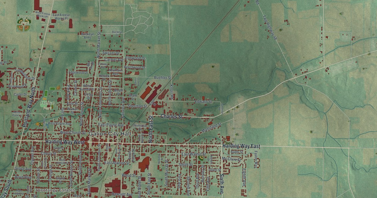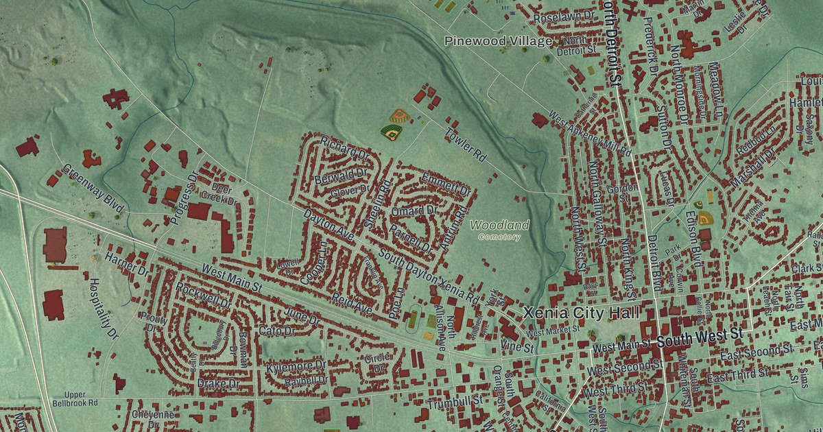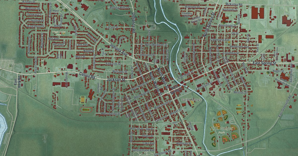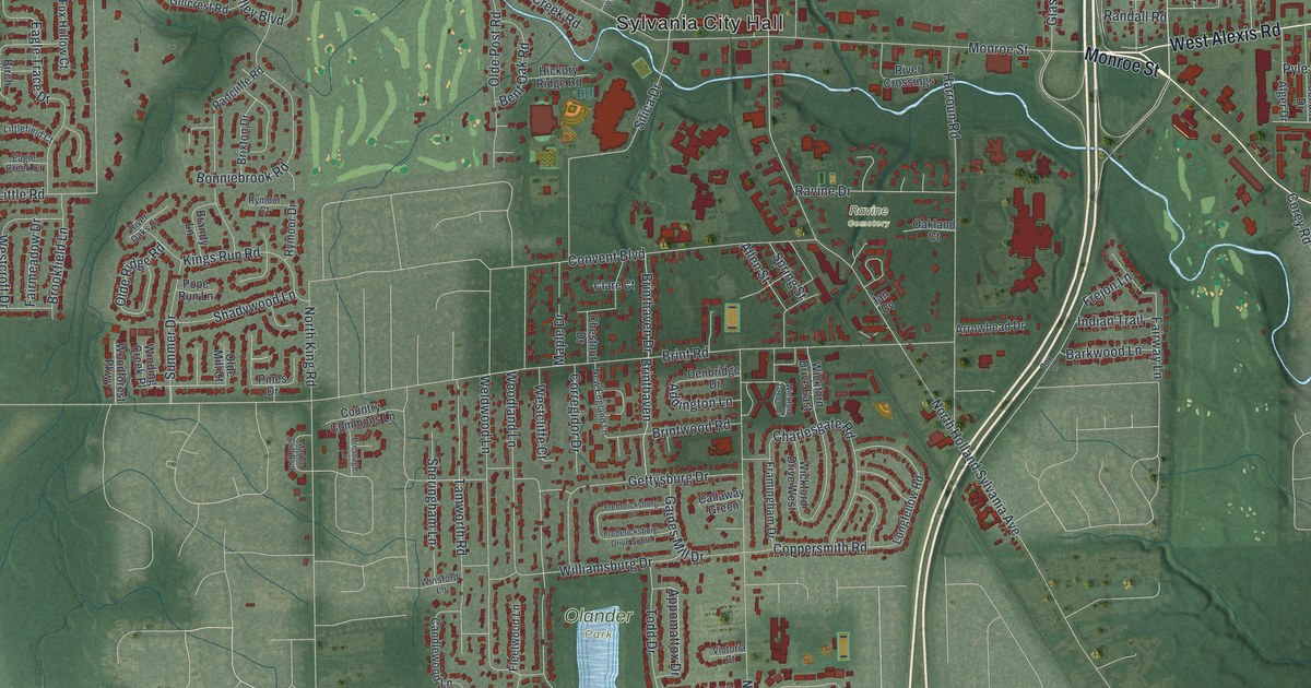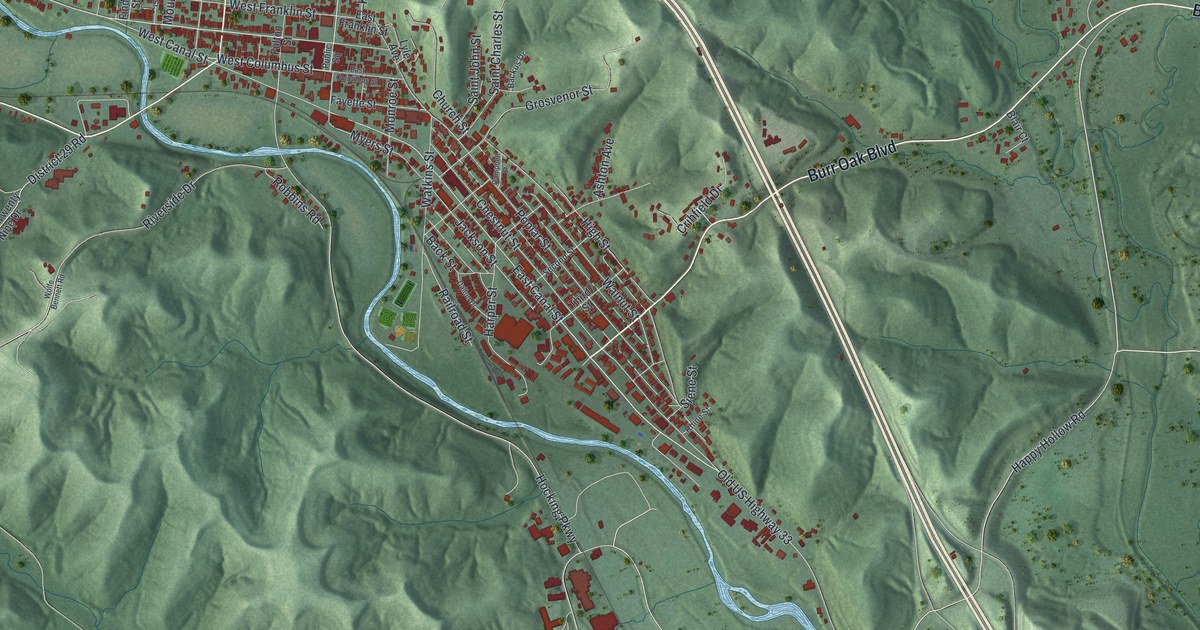
If you grew up on the streets around Public Square, or you still have family in Nelsonville, this map is for you. It's a modern aerial view of Nelsonville in Athens County, Ohio, with a vintage-style title and the hills shaded so you can see how the town sits in the valley. Green hills fold in on every side. A blue river winds through the valley, and the town's red buildings crowd close along its banks. Up in the top right, you'll spot Bessemer.
Canal Street and the Coal Trains of Nelsonville
On this map you'll find Public Square, West Canal Street, East Canal Street, West Columbus Street, Madison Street, Fort Street, High Street, Railroad Street, Chestnut Street, Poplar Street, Hocking Parkway, Happy Hollow Road, Burr Oak Boulevard, Bessemer, and more. Each red shape is a building, so zoom in on the preview and look for yours.
Nelsonville grew up on coal. The Columbus and Hocking Valley Railroad reached town in 1869. An Ohio historical marker says the trains led to the decline of the old Hocking Canal. They also made Nelsonville a major shipping point for coal and factory goods. Two streets on the map still carry the word Canal. The marker stands at 99 West Canal Street, right next to the tracks of the Hocking Valley Scenic Railroad. In 1988, the line from Logan to Nelsonville joined the National Register of Historic Places. Steam engine No. 33 and caboose No. 90704 were listed with it.
The Hocking Valley Coal Strike of 1884
Coal also brought hard years. In 1883, many Hocking Valley mines joined together, and pay dropped from 70 to 60 cents a ton. On June 23, 1884, the miners' union went on strike. The mine owners offered an even lower rate. They also wanted returning miners to sign contracts promising not to strike again. The strike idled three thousand miners in 46 mines, in Nelsonville and towns like Murray City and New Straitsville. A second marker tells this story on the north side of Public Square. Stuart's Opera House and the Dew House stand on that same square. Both were added to the National Register in 1978.
Public Square, Canal Street and Home

Created by KNOWOL in 2026, this print shows Nelsonville in soft green shaded hills, with a pale blue river and small red buildings inside a thin border. The title panel below reads Aerial View of Nelsonville, Ohio, with the line 39°28' North 82°14' West.
It fits a living room, a den or an office wall. It's a good gift for anyone who grew up near Public Square or rode the Hocking Valley Scenic Railroad, and for family who moved away from Athens County. Open the preview and find the streets you know. See sizes and frames for the Nelsonville map.