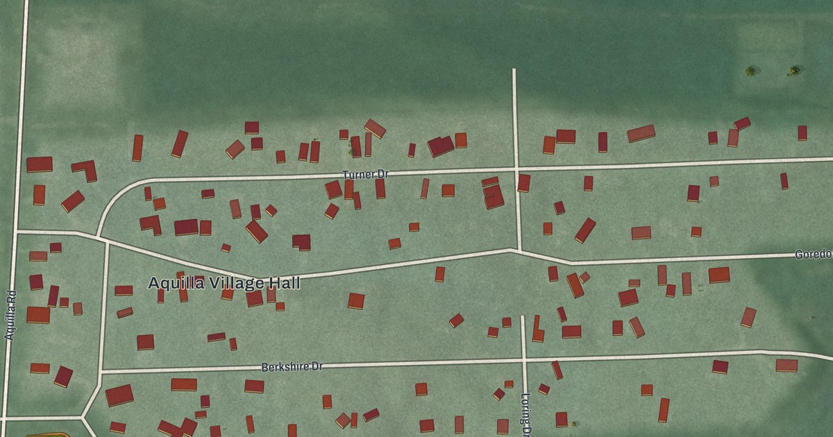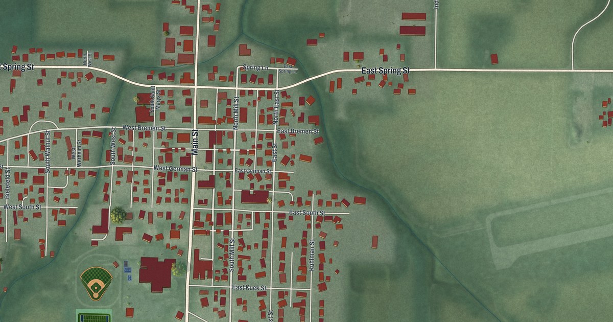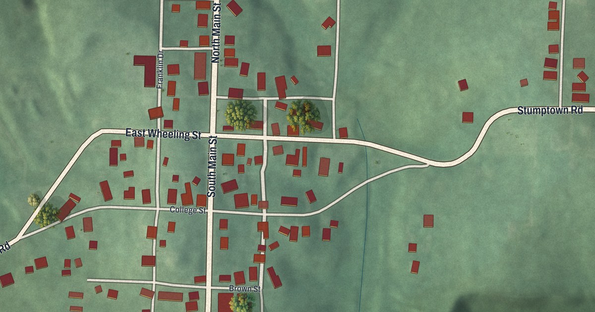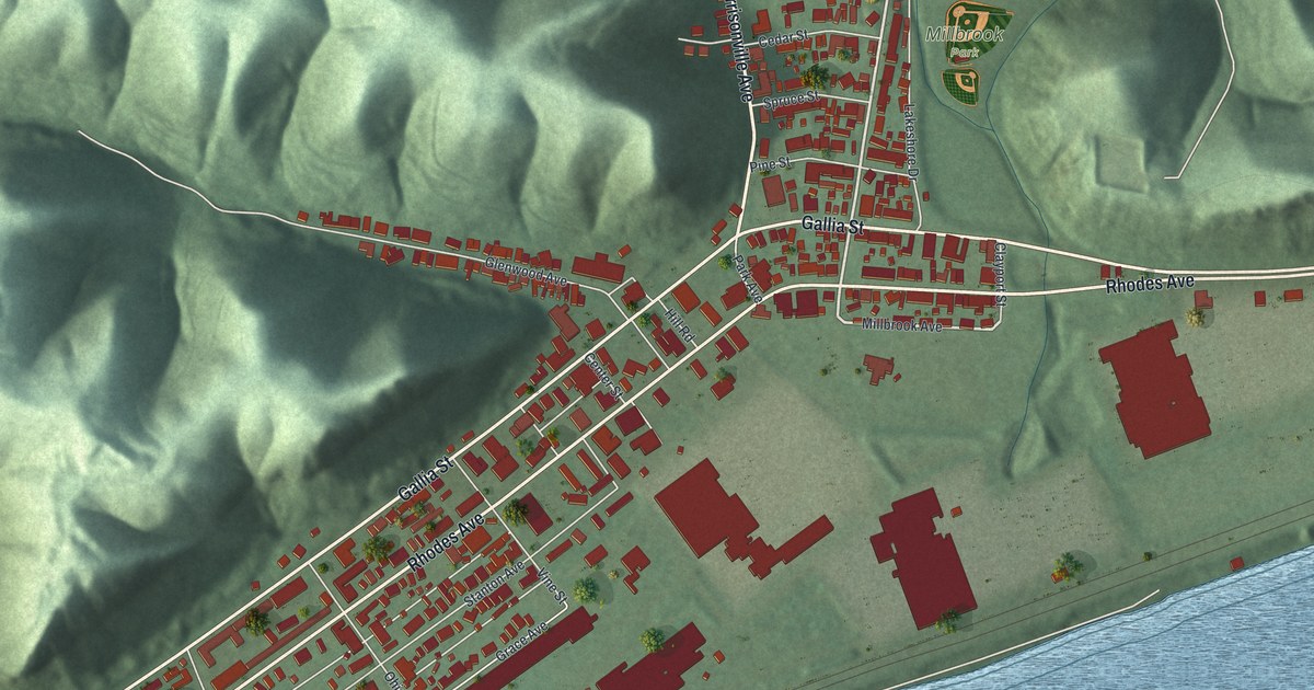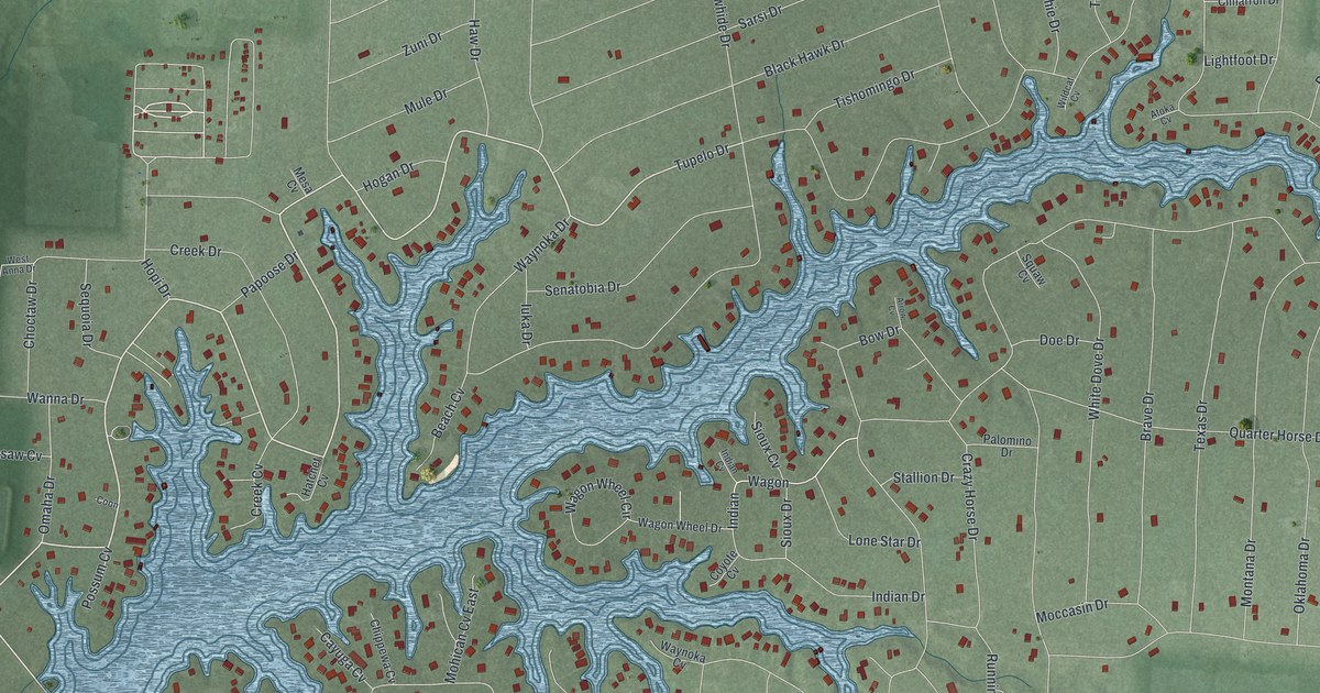
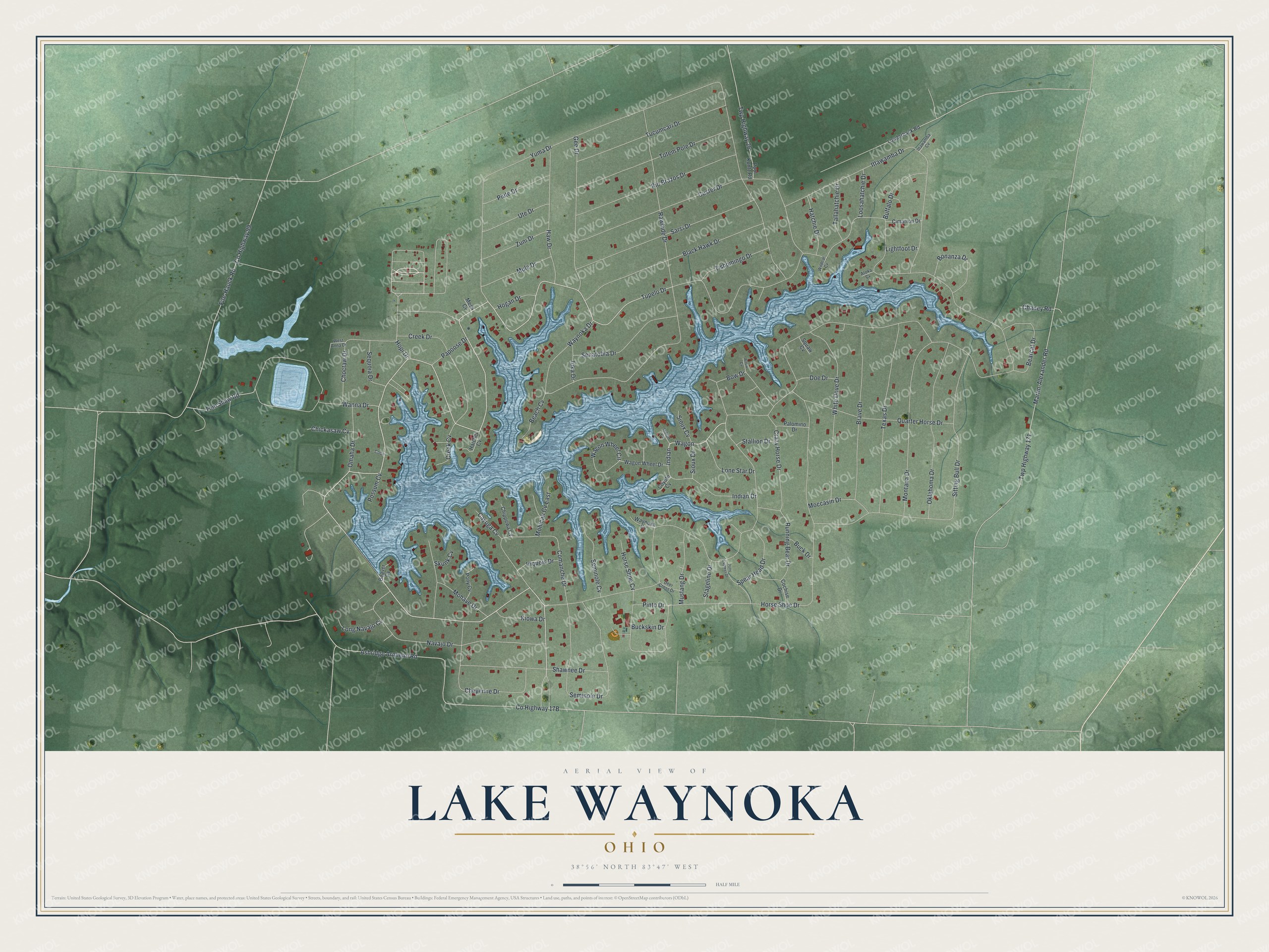
This beautifully detailed map of Lake Waynoka, Ohio was created in 2026 using aerial imagery combined with modern topographical, census, street and landmark data. It's a modern aerial view of Lake Waynoka in Brown County, Ohio, that combines modern data with a vintage aesthetic. The roads feature printed names, and if you look closely you can find your exact house accurately shown in its correct location.
Explore an aerial view of Lake Waynoka, Ohio
On this map you'll find Waynoka Drive, Tupelo Drive, Indian, Wagon, Indian Drive, Yuma Drive, Horse Shoe Drive, Ashridge Arnheim Road, Co Highway 17B, Sitting Bull Drive, Custer Drive, Ittawamba Drive, and more. Each red shape is a building, so zoom in on the preview and look for yours.
Lake Waynoka is a community in Brown County. The Census Bureau counted 1,381 people here in 2020. Lake Waynoka sits about 5 miles south of Sardinia, 5 miles north of Russellville and 7 miles west of Winchester. The map prints the town name in its title panel, with the coordinates below it.
Take a closer look at the Lake Waynoka map
Names on this map
These names are printed on this map.
Streets and roads: Waynoka Drive, Tupelo Drive, Indian, Wagon, Indian Drive, Yuma Drive, Horse Shoe Drive, Ashridge Arnheim Road, Sitting Bull Drive, Custer Drive, Ittawamba Drive, Martin-Alexander Road.
More street names, A to Z
Arrow Cv, Atoka Cv, Beach Cv, Bearcat Drive, Beaver Cv, Black Hawk Drive, Bonanza Drive, Bow Drive, Brave Drive, Buck Drive, Buckskin Drive, Buffalo Drive, Cayuga Cv, Chaney Road, Cheyenne Drive, Chickasaw Cv, Chippewa Cv, Choctaw Drive, Cimarron Drive, Cochise Drive, Comanche Drive, Coon, County Highway 99, Coyote Cv, Crazy Horse Drive, Creek Cv, Creek Drive, Deer Cross Drive, Doe Drive, Fite-Hauck Road, Gee Drive, Hatchet Cv, Hatchie Drive, Haw Drive, Hogan Drive, Hopi Drive, Horse Shoe Cv, Indian Cv, Iriquois Drive, Ittawamba Cv, Iuka Drive, Kiowa Drive, Lightfoot Drive, Lone Star Drive, Long Navajo Cv, Loosahatchie Drive, Louderback Road, Mesa Cv, Moccasin Drive, Mohave Drive, Mohican Cv East, Montana Drive, Mule Drive, Mustang Drive, Navajo Drive, Oklahoma Drive, Omaha Drive, Palomino Drive, Papoose Drive, Pinto Drive, Piute Drive, Pony Cv, Pony Express Drive, Pool Kuntz Road, Possum Cv, Quarter Horse Drive, Rawhide Drive, Rio Brazos Drive, Running Bear Drive, Sarsi Drive, Seminole Cv, Seminole Drive, Senatobia Drive, Sequoia Drive, Shawnee Drive, Sioux Cv, Sioux Drive, Skunk Cv, Spear Head Drive, Stageline Drive, Stallion Drive, Tallahatchie Drive, Texas Drive, Tishomingo Drive, Tom Shaw Road, Totem Pole Drive, Tucumcari Drive, Twp Highway 26, Twp Highway 171, Ute Drive, Wagon Wheel Circle, Wagon Wheel Drive, Wanna Drive, Waynoka Cv, West Anna Drive, White Dove Drive, Wildcat Cv, Zuni Drive.
See it on a wall
The Lake Waynoka map as a framed print. Swipe for more.


Created by KNOWOL in 2026. The buildings are small red shapes, the roads carry their printed names, and shaded relief shows the shape of the land. The title panel reads "AERIAL VIEW OF LAKE WAYNOKA, OHIO" with 38°56' NORTH 83°47' WEST.
It looks right in a kitchen, an office or a den, and it's a gift for anyone who grew up in Lake Waynoka or moved away. Open the preview and find your street. See sizes and frames for the Lake Waynoka map.