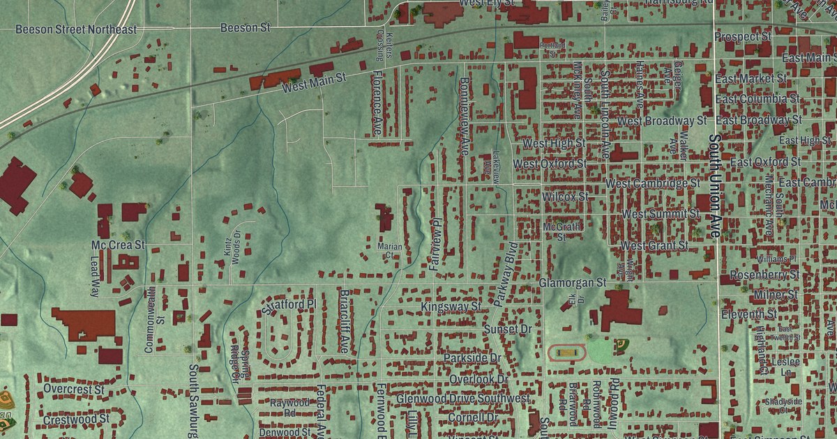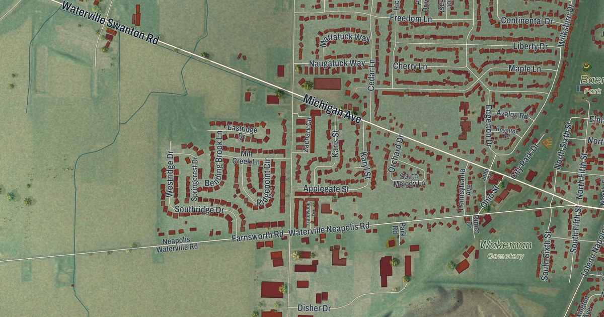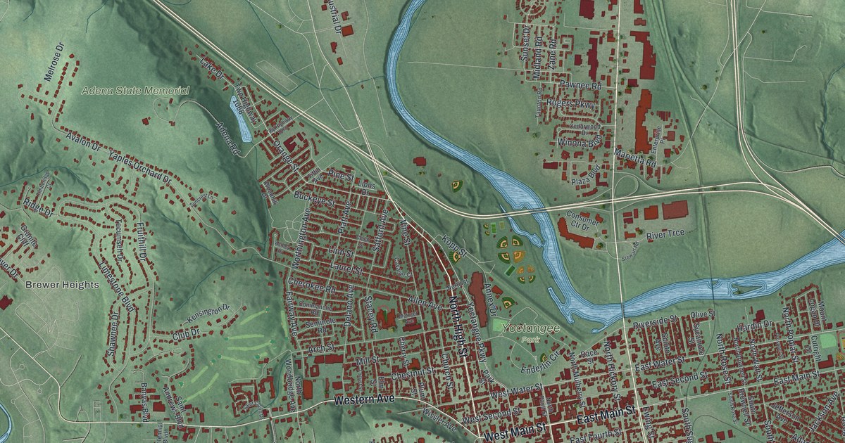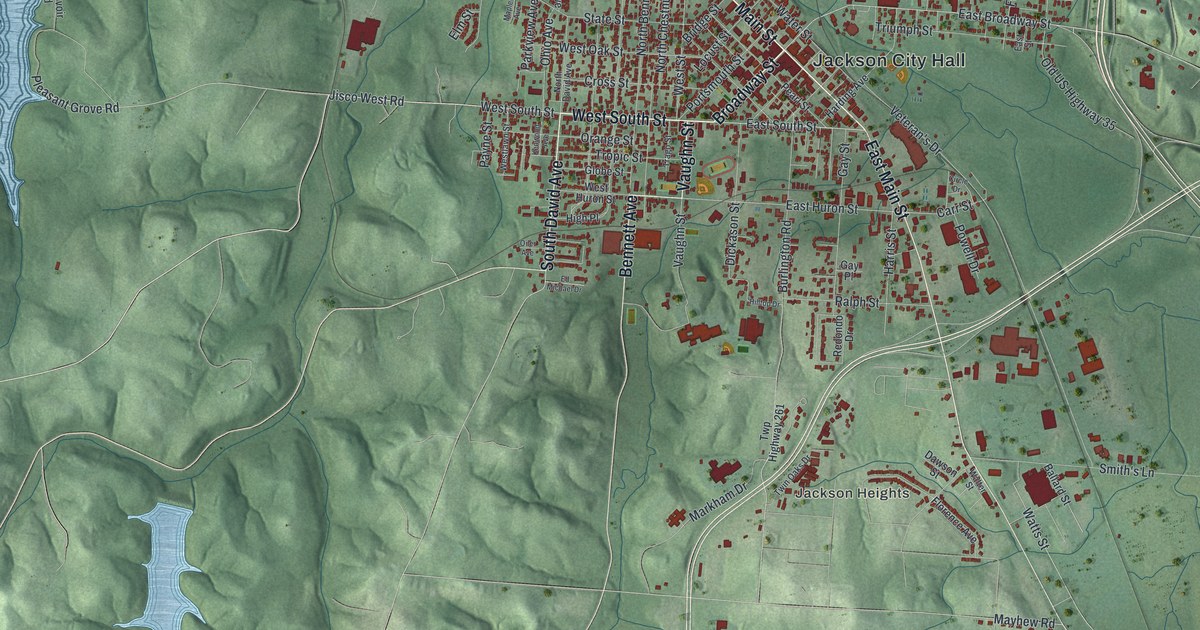
If you grew up in Jackson or still have family here, there's plenty to look for on this print. This modern aerial view of Jackson in Jackson County, Ohio pairs modern data with a vintage feel. Red buildings fill the town's close street grid, with green hills all around. Jackson City Hall and Jackson Heights are named, and blue water stands out against the shaded land.
East Main Street and Jackson's Apple Festival
On this map you'll find East Main Street, Broadway Street, Jackson City Hall, Portsmouth Street, West Main Street, Athens Street, South David Avenue, Bennett Avenue, East South Street, McCarty Lane, Jackson Heights, Sharon, and more. Each red shape is a building, so zoom in on the preview and look for yours.
Jackson's first Apple Festival ran from October 6 to 9, 1937. The festival's historical marker says the Chamber of Commerce planned it that spring. Apples were one of the county's leading crops. The founders wanted to celebrate that work and bring county residents together. They also wanted former residents to come back for a visit. That first festival had prizes for vegetables, grains and flowers, too. There was even a baby and pet parade.
The first festival also crowned a queen and court, starting a tradition. In 1959, the Jaycees joined the Chamber as co-sponsors. The marker records that the festival stayed popular even as commercial apple growing declined. Its story is told at Public Square, at 226 East Main Street. You can find East Main Street among the printed names in the town grid.
Jackson's streets and the hills around home
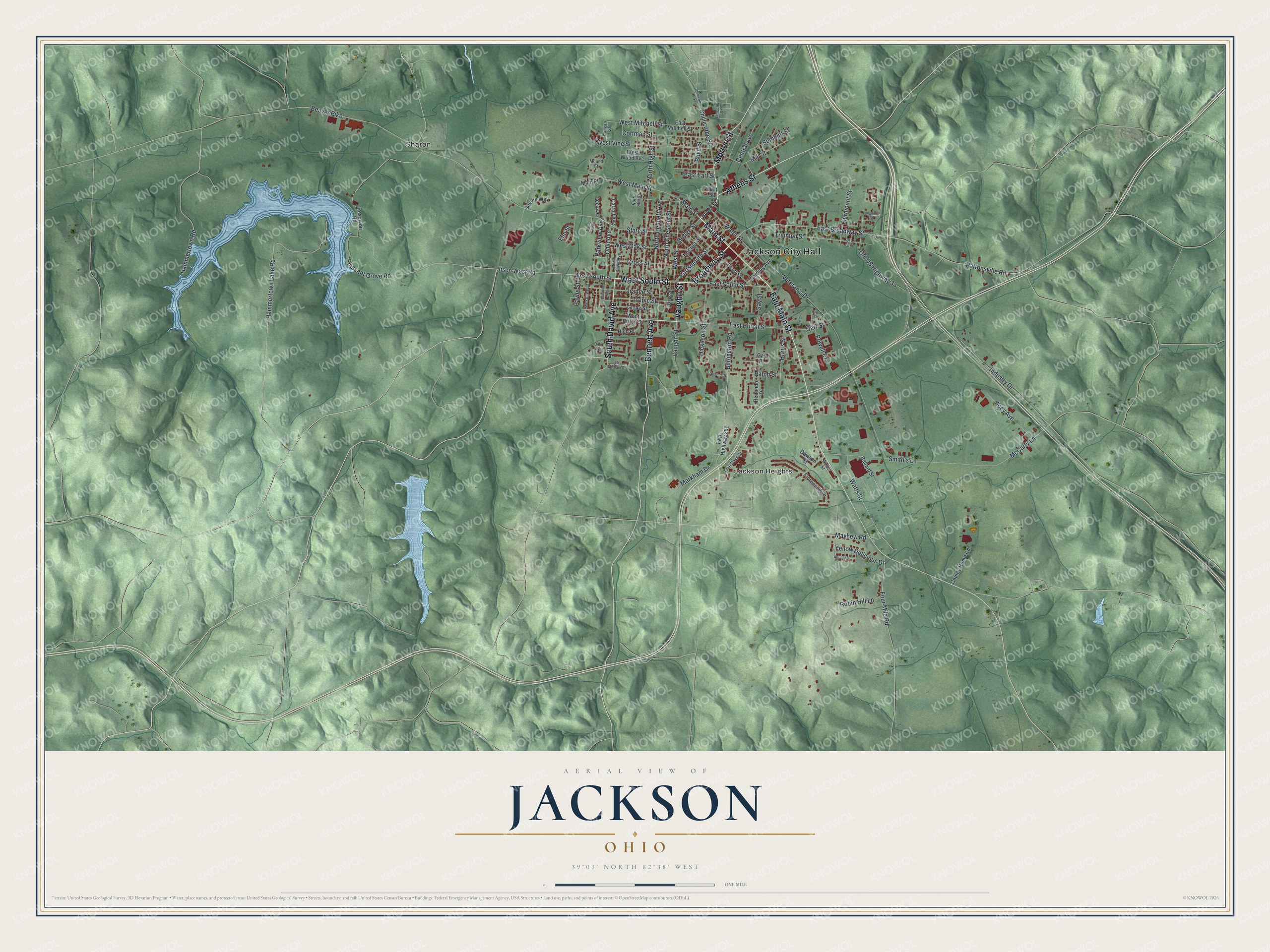
Created by KNOWOL in 2026, this print uses road, building and terrain data to show Jackson from above. Dark red buildings, soft green hills and pale blue water sit inside a cream border. The title panel reads "Aerial View of Jackson, Ohio" with 39°03' North, 82°38' West and a one-mile scale bar.
Hang it in a living room, hallway or office where you can look closely. It's a gift for someone who grew up near East Main Street or has family in Jackson Heights. Open the preview and zoom in to find the streets you know. See sizes and frames for the Jackson map.