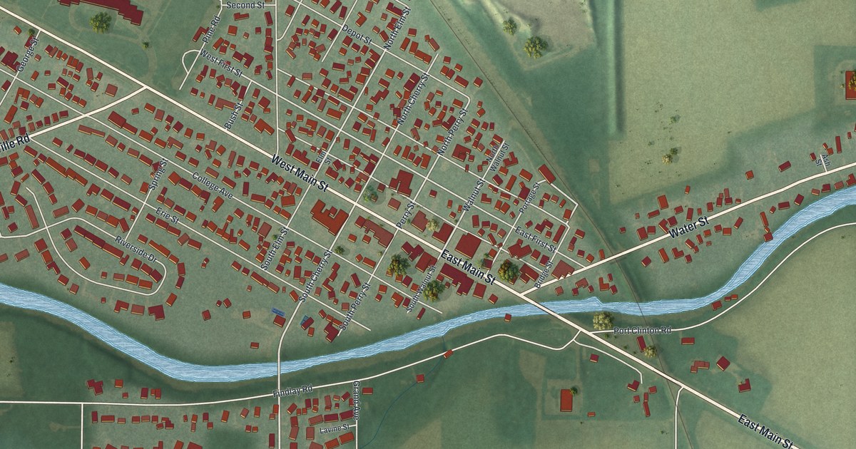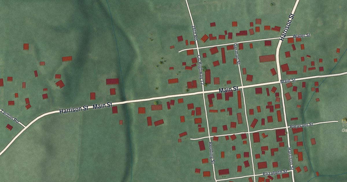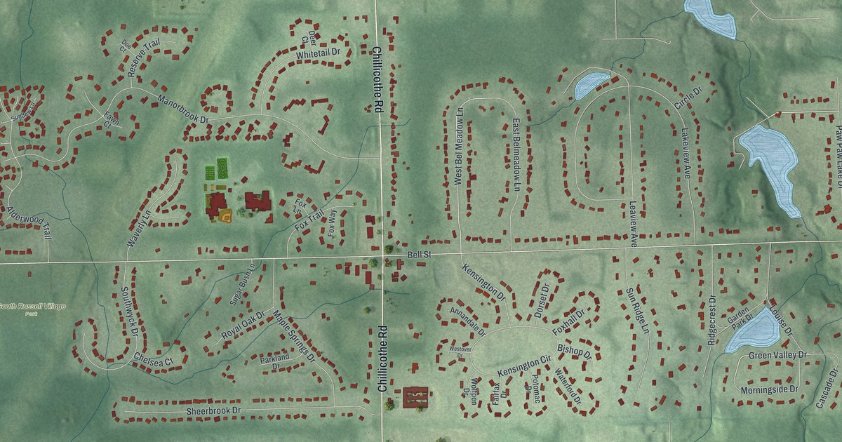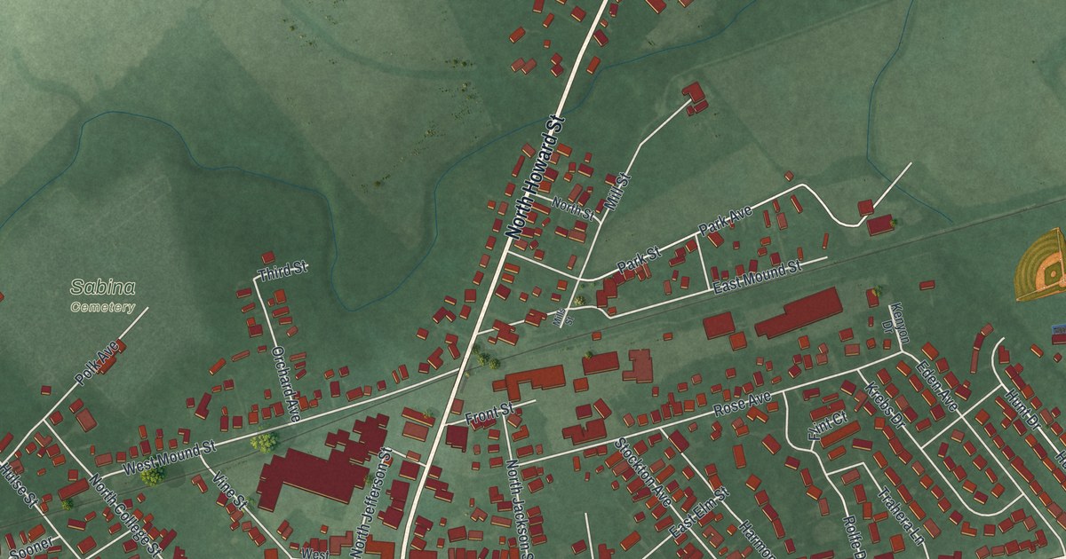
If you grew up in Sabina, or you still know your way down Washington Street by heart, this print is for you. It's a modern aerial view of Sabina in Clinton County, Ohio, made with modern data and given a vintage look. The village sits in the middle of the sheet, with East Washington Street and West Washington Street crossing it side to side. Around it, green farm fields and country roads reach out to every edge.
Sabina Streets and Places on the Map
On this map you'll find East Washington Street, West Washington Street, North Howard Street, South Howard Street, the Sabina Municipal Building, Sabina Cemetery, Sabina Manor Estates, West Elm Street, North College Street, North Jefferson Street, Florence Avenue, Grand Avenue, Mill Street, Dakin Chapel Road, and more. Each red shape is a building, so zoom in on the preview and look for yours.
Sabina and the Chillicothe Trace
Sabina's story starts with a trail. The History of Clinton County, Ohio, printed in 1882, says the first road of any kind in the township was a trail. People called it the Miami Trace or the Chillicothe Trace. It ran from Chillicothe through to Sabina. From there it went down Anderson's Fork to Oldtown, three miles past Xenia.
The trail was only the start. By 1891, Henry Howe wrote that Sabina sat on two railroads, 66 miles northeast of Cincinnati. It had a weekly paper called the News, five churches and two banks. In 1880, 757 people lived here. Today the village is home to 2,499 people, as counted in 2020.
The Silk City Diner and West Elm Street
Two Sabina buildings are now on the National Register of Historic Places. One is the Frank Haines House at 149 West Elm Street. The other is the Silk City Diner on Washington Street. Find West Elm Street and West Washington Street on the map, and you're close to both.
A Sabina Map From Washington Street Out
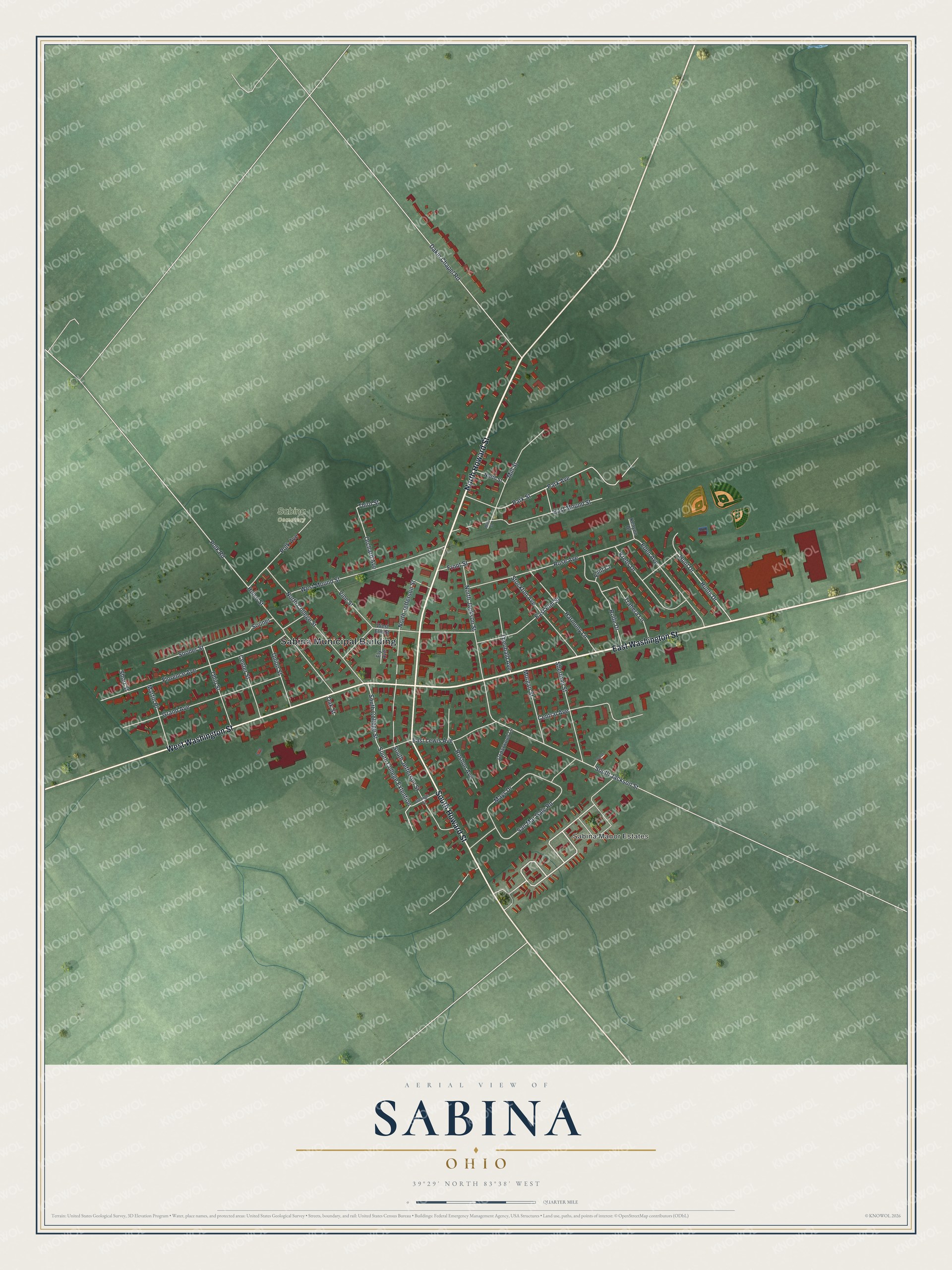
Created by KNOWOL in 2026, this print shows Sabina from above in soft greens, with red buildings, pale roads and the rise and fall of the land shaded across the fields. The title panel reads "Aerial View of Sabina, Ohio" with the coordinates 39°29' North 83°38' West.
It fits a living room, a kitchen or a home office, and it makes a good gift for anyone who grew up near the Sabina Municipal Building or walked home along South Howard Street. Open the full preview and find the streets you know. See sizes and frames for the Sabina map.