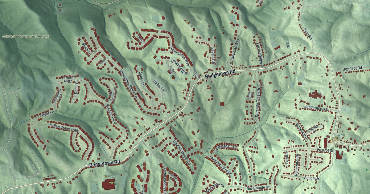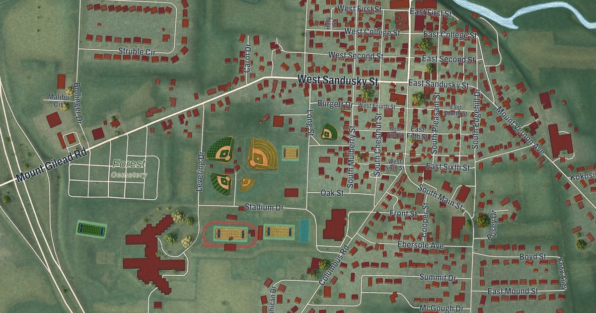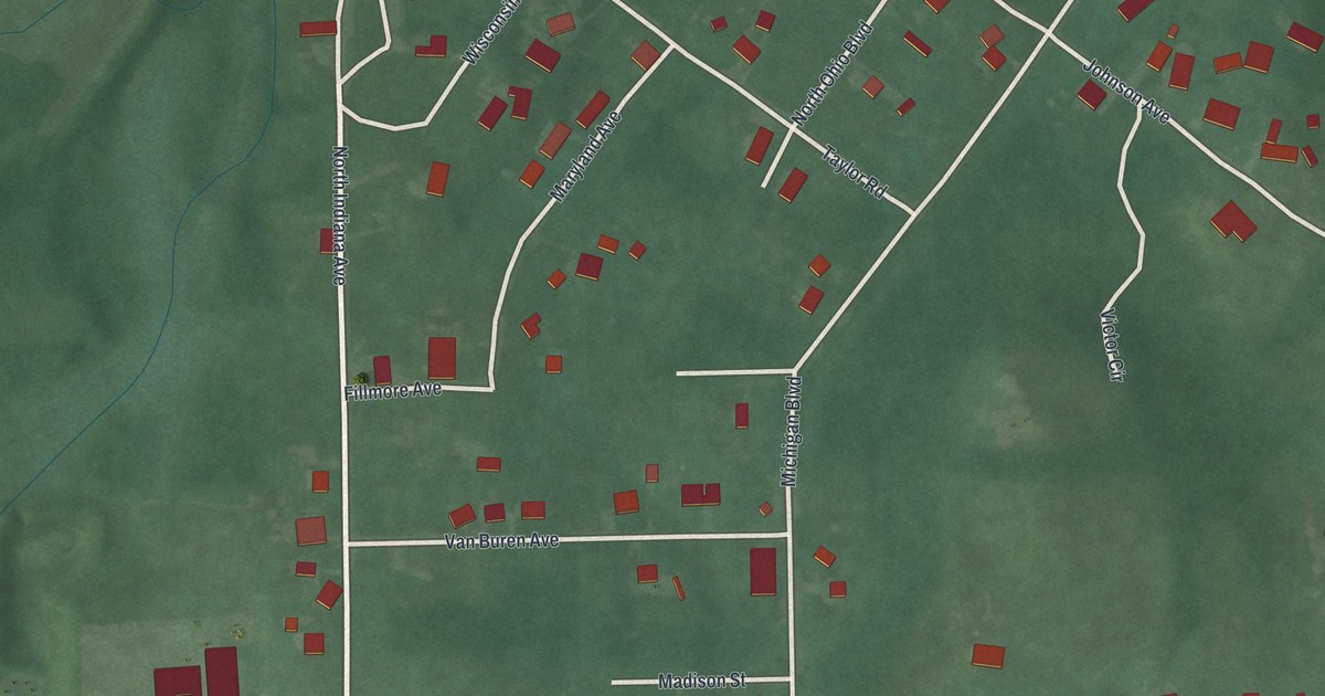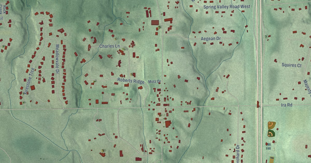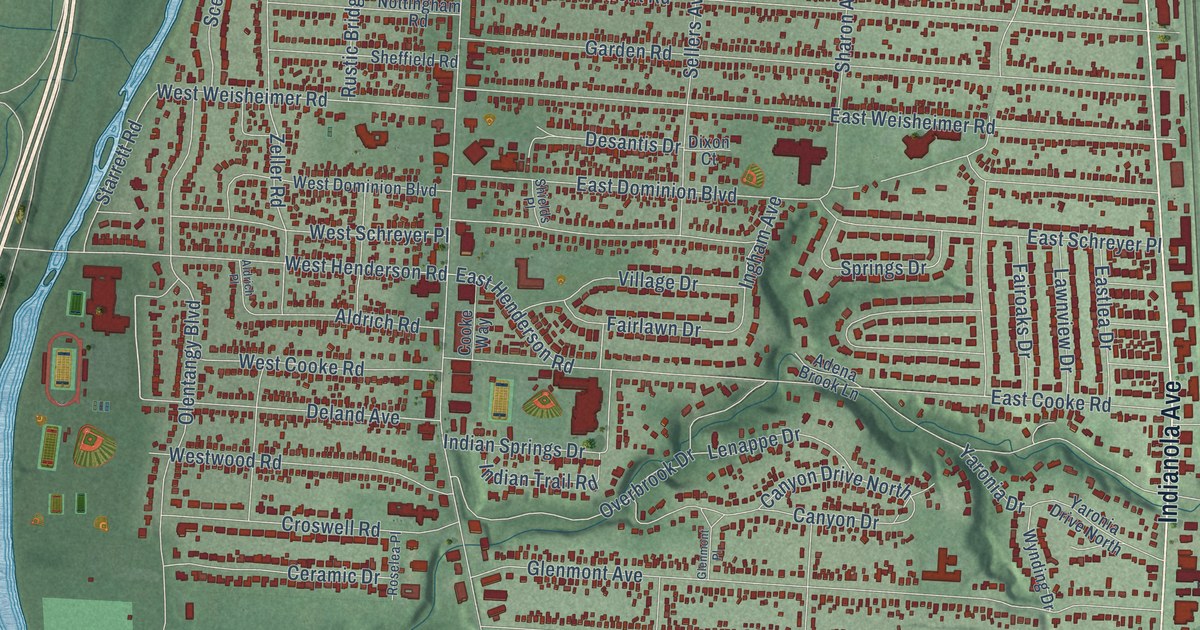
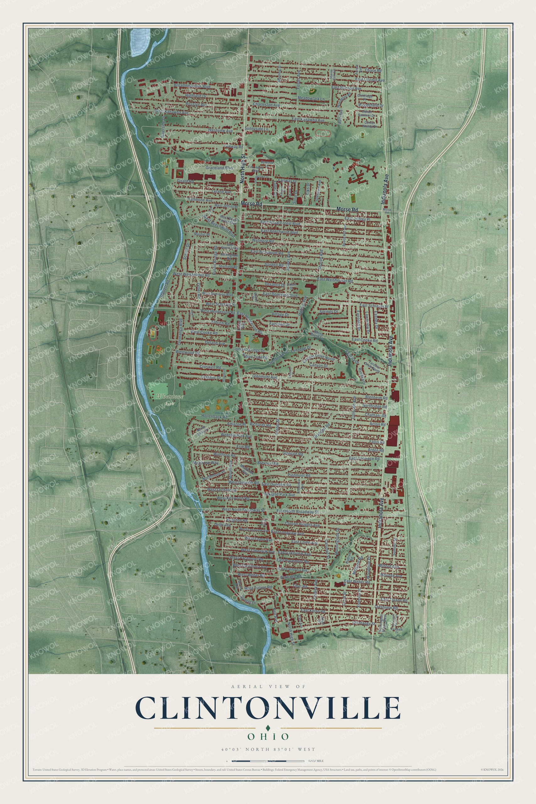
This beautifully detailed map of Clintonville, Ohio was created in 2026 using aerial imagery combined with modern topographical, census, street and landmark data. It’s a one-of-a-kind view of Clintonville that combines accurate data with a vintage aesthetic. The map shows every building in its true location, many of the roads carry their names, and the shaded topographic relief shows the shape of the land.
Explore an aerial view of Clintonville, Ohio
On the map you’ll find Whetstone Park, along with Indianola Avenue, North High Street, Morse Road, East Torrence Road, West North Broadway Street, Scenic Drive, Olentangy Boulevard, Colerain Avenue, Sharon Avenue, Milton Avenue, Calumet Street, and more. If you look closely you can even find your house accurately drawn in its correct location. Zoom in on the preview to look for yours.
Did You Know?
Clintonville grew up as the center of a township named for Vice President George Clinton. Thomas Bull, a Methodist minister, moved his family here from Vermont in 1812. In 1813 he bought 600 acres from John Rathbone. Clinton Chapel, built in 1838, was a stop on the Underground Railroad for about twenty years.
Clintonville is a place in Franklin County.
Take a closer look at the Clintonville map
Names on this map
These names are printed on this map.
Places: Whetstone Park.
Streets and roads: Indianola Avenue, North High Street, Morse Road, East Torrence Road, West North Broadway Street, Scenic Drive, Olentangy Boulevard, Colerain Avenue, Sharon Avenue, Milton Avenue, Calumet Street, Overbrook Drive.
More street names, A to Z
Acton Road, Adams Avenue, Adena Brook Lane, Aldrich Place, Aldrich Road, Amazon Place, Arden Road, Beech Hill Avenue, Blenheim Road, Brevoort Road, Brighton Road, Broadmeadows Boulevard, Bywood Lane, Canyon Drive, Canyon Drive North, Center Woods Drive, Ceramic Drive, Charleston Avenue, Chase Road, Chatham Road, Clinton Heights Avenue, Cooke Way, Crestview Road, Croswell Road, Deland Avenue, Delhi Avenue, Desantis Drive, Dixon Court, Dorris Avenue, Druid Street, East Avenue, East Beaumont Road, East Beechwold Boulevard, East California Avenue, East Como Avenue, East Cooke Road, East Dominion Boulevard, East Dunedin Road, East Henderson Road, East Jeffrey Place, East Kanawha Avenue, East Kelso Road, East Lakeview Avenue, Eastlea Drive, East Lincoln Avenue, East Longview Avenue, East North Broadway Street, East Pacemont Road, East Royal Forest Boulevard, East Schreyer Place, East Stanton Avenue, East Tulane Road, East Weber Road, East Weisheimer Road, Elks Drive, Erie Road, Esmond Street, Fairlawn Drive, Fairoaks Drive, Fairway Court, Fairway Drive, Fallis Road, Fenway Road, Findley Avenue, Fitz Henry Boulevard, Forest Avenue, Foster Avenue, Foster Street, Fredonia Avenue, Fuller Drive, Garden Road, Georgetown Drive, Girard Road, Glenburn Avenue, Glencoe Road, Glenmont Avenue, Glenmont Place, Glenridge Place, Graceland Boulevard, Granden Road, Gudrun Road, Highfield Drive, Hollenback Road, Indian Springs Drive, Indian Summer Drive, Indian Trail Road, Ingham Avenue, Kensington Place East, Kensington Place West, Lawnview Drive, Leland Avenue, Lenappe Drive, Lunar Drive, Meadowlark Lane, Medbrook Way, Melrose Avenue, Midgard Road, Milford Avenue, Montrose Way, Morningside Drive, Morning Street, Neil Avenue, North Delta Drive, Northmoor Place, Northridge Road, North Wall Street, Nottingham Road, Oakland Park Avenue, Olentangy Street, Parkview Drive, Piedmont Road, Rathbone Avenue, Richards Road, Riverside Drive, Roselea Place, Rosslyn Avenue, Royal Place, Rush Avenue, Rustic Bridge Road, Rustic Place, Sellers Avenue, Sharon Park Avenue, Sheffield Road, Shields Place, Solar Drive, Springs Drive, Starrett Road, Summit Street, Sunnyside Lane, Sunset Drive, Tibet Road, Village Drive, Walhalla Road, Webster Park Avenue, West Beaumont Road, West Beechwold Boulevard, West California Avenue, West Como Avenue, West Cooke Road, West Dominion Boulevard, West Dunedin Road, West Henderson Road, West Jeffrey Place, West Kanawha Avenue, West Kenworth Road, West Lakeview Avenue, West Longview Avenue, West Orchard Lane, West Pacemont Road, West Royal Forest Boulevard, West Schreyer Place, West Tulane Road, Westview Avenue, West Weber Road, West Weisheimer Road, Westwood Road, Wetmore Road, Winthrop Road, Woodbine Place, Woodglen Road, Woodsfield Drive, Wynding Drive, Yaronia Drive, Yaronia Drive North, Zeller Road.
See it on a wall
The Clintonville map as a framed print. Swipe for more.


This beautifully detailed map of Clintonville makes an attractive addition to your office, library, or den, and it can even be used to teach children the geography and history of the area. It also makes a great gift for anyone with Clintonville roots. When you’re done exploring, click here to get your copy of the Clintonville map.