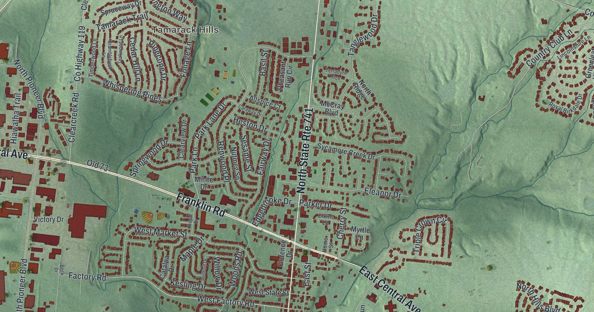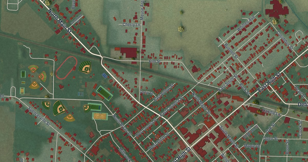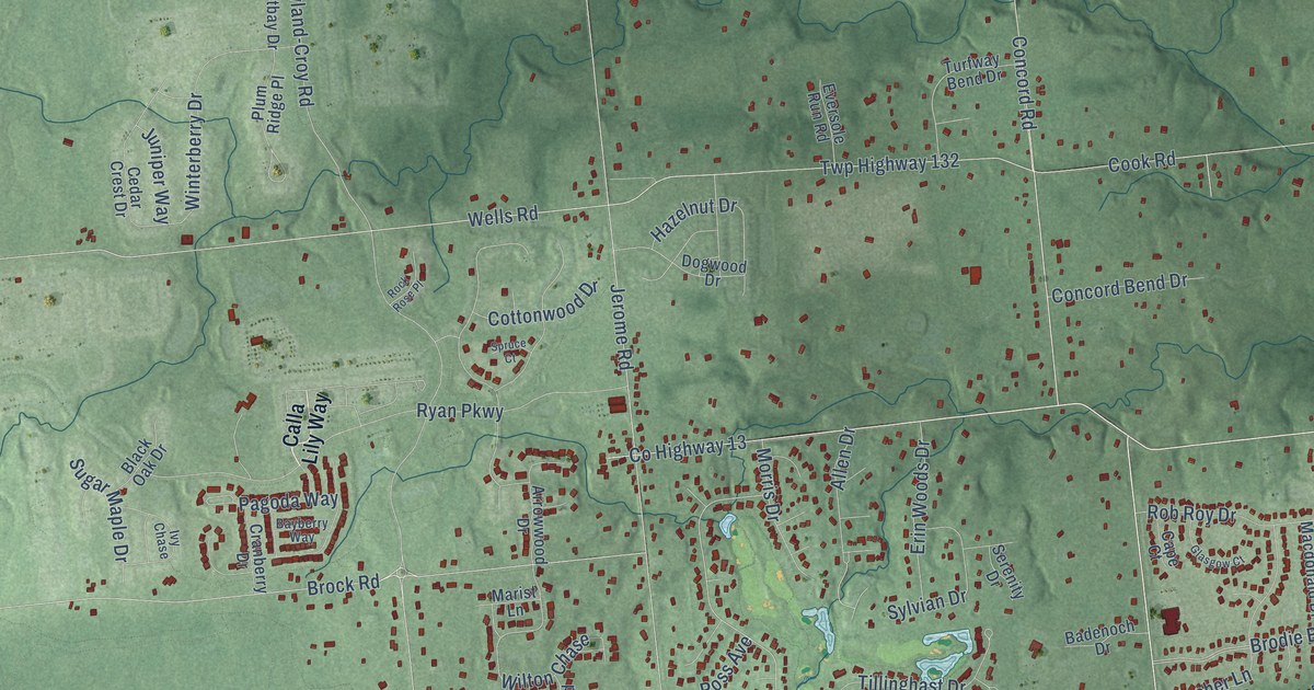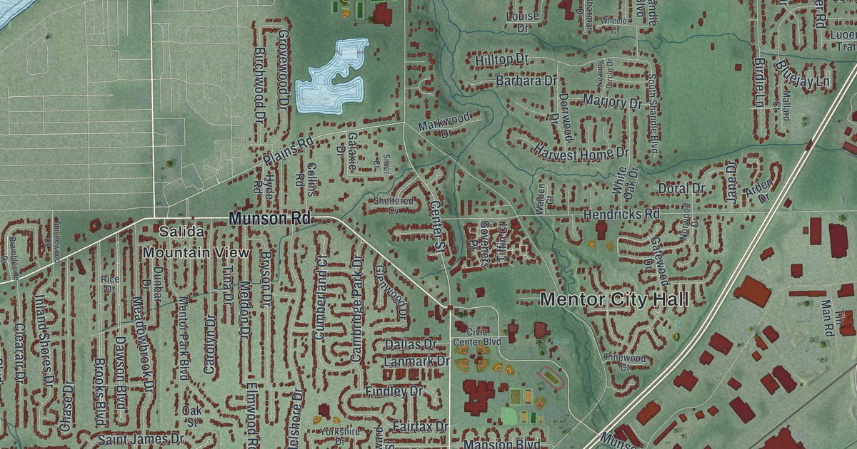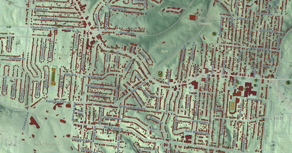
This beautifully detailed map of West Price Hill, Ohio was created in 2026 using aerial imagery combined with modern topographical, census, street and landmark data. It’s a one-of-a-kind view of West Price Hill that combines accurate data with a vintage aesthetic. The map shows every building in its true location, many of the roads carry their names, and the shaded topographic relief shows the shape of the land.
Explore an aerial view of West Price Hill, Ohio
On the map you’ll find Miles Edwards Park, Price Hill Cemetery, Rapid Run Park, Saint Joseph’s Cemetery, Union Cemetery, Price Hill, Covedale, and Monterey, along with Glenway Avenue, Rapid Run Pike, Rapid Run Road, Sunset Avenue, and more. If you look closely you can even find your house accurately drawn in its correct location. Zoom in on the preview to look for yours.
Take a closer look at the West Price Hill map
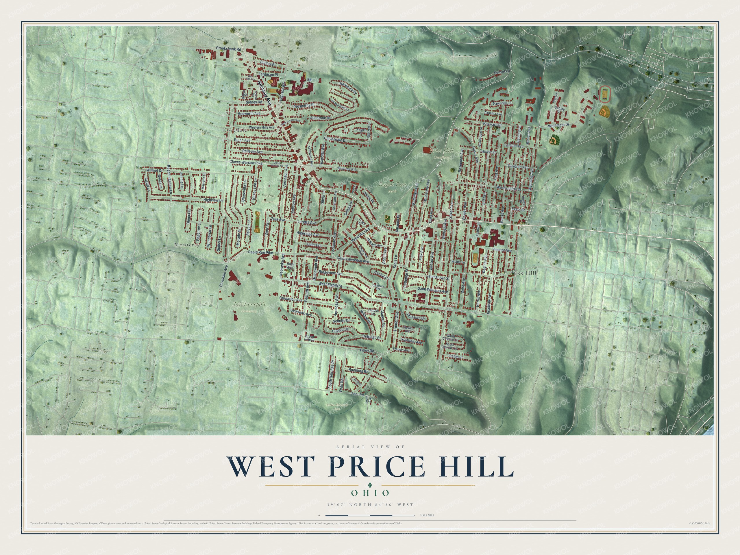
Names on this map
These names are printed on this map.
Places: Miles Edwards Park, Price Hill Cemetery, Rapid Run Park, Saint Joseph’s Cemetery, Union Cemetery, Price Hill, Covedale and Monterey.
Streets and roads: Glenway Avenue, Rapid Run Pike, Rapid Run Road, Sunset Avenue, Rosemont Avenue, West Eighth Street, Beech Avenue, Covedale Avenue, Overlook Avenue, Gilsey Avenue, Saint Lawrence Avenue, Guerley Road.
More street names, A to Z
Academy Avenue, Akochia Avenue, Alcliff Lane, Amanda Place, Ashbrook Drive, Beechmeadow Lane, Belvoir Lane, Benz Avenue, Cappel Drive, Carmania Avenue, Carnation Avenue, Century Lane, Cherevilla Lane, Clanora Drive, Clearview Avenue, Clements Avenue, Clevesdale Drive, Cleves Warsaw Avenue, Cleves Warsaw Pike, Colony Drive, Coronado Avenue, Crookshank Road, Dale Avenue, Davoran Avenue, Delridge Drive, Dewey Avenue, Edgetree Lane, Embrett Court, Evers Street, Fawnhill Lane, Fehr Road, Ferguson Place, Ferguson Road, First Avenue, Fisk Avenue, Flower Avenue, Foley Road, Francis Avenue, Gellenbeck Street, Glenna Drive, Green Glen Lane, Green Hills Place, Greenwich Avenue, Hardwick Drive, Harris Avenue, Henkel Drive, Hermosa Avenue, Heuwerth Avenue, Heyward Street, Highridge Avenue, Highview Drive, Hillfred Lane, Hilsun Place, Iliff Avenue, Jamestown Street, Jennie Lane, Joana Place, Kellywood Avenue, Kreis Lane, Latham Avenue, Leath Avenue, Linda Drive, Lockman Avenue, Loretta Avenue, Loubell Lane, Manss Avenue, Maureen Lane, McKeone Avenue, Midland Avenue, Minion Avenue, Morado Drive, Nancy Lee Lane, Nebraska Avenue, North Clerose Circle, North Overlook Avenue, Olivia Lane, Omena Place, Palos Street, Panther Court, Parkside Court, Pedretti Avenue, Pleasure Drive, Prosperity Place, Ralph Avenue, Regina Avenue, Relleum Avenue, Ridgeview Avenue, Roebling Road, Roth Avenue, Rulison Avenue, Rutledge Avenue, Rutledge Street, Saint Williams Avenue, Schiff Avenue, Schulte Drive, Seibel Lane, Shirley Place, Sidney Road, Sidona Lane, Sliker Avenue, South Clerose Circle, South Delridge Drive, Suire Avenue, Sunburst Lane, Sunset Lane, Talbert Street, Texas Avenue, Trenton Avenue, Tuxworth Avenue, Vincent Avenue, Vinedale Avenue, Virgil Road, Weber Lane, Western Hills Avenue, West High Avenue, West Liberty Street, Westmont Drive, Westmont Lane, Wilbud Drive, Willnet Drive, Winfield Avenue, Woodbriar Lane, Woody Lane, Wyoming Avenue, Zula Avenue.
See it on a wall
The West Price Hill map as a framed print. Swipe for more.


This beautifully detailed map of West Price Hill makes an attractive addition to your office, library, or den, and it can even be used to teach children the geography and history of the area. It also makes a great gift for anyone who grew up in West Price Hill or moved away. When you’re done exploring, click here to get your copy of the West Price Hill map.